Calf Hill
Hill, Mountain in Lancashire Ribble Valley
England
Calf Hill
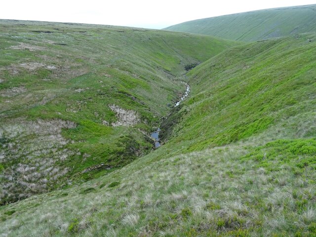
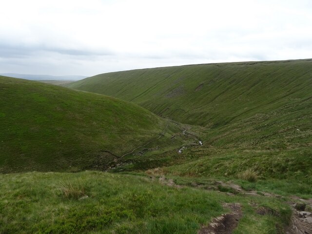
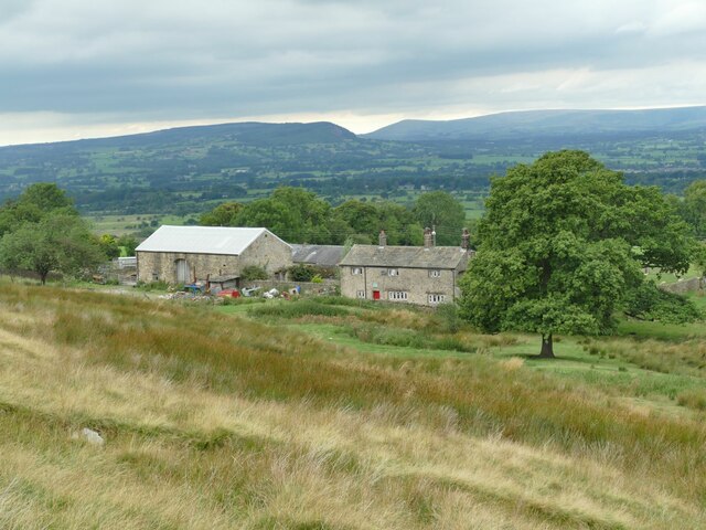
Calf Hill is a prominent hill located in the county of Lancashire, England. It is situated in the southern part of the county, near the town of Oswaldtwistle. Calf Hill is part of the Pennine Hills, a range of hills and mountains that stretch across northern England.
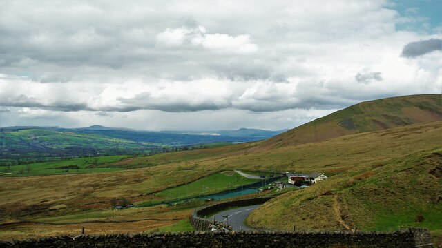
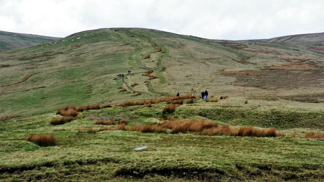
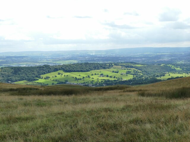
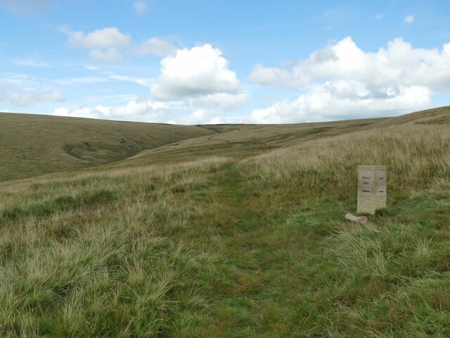
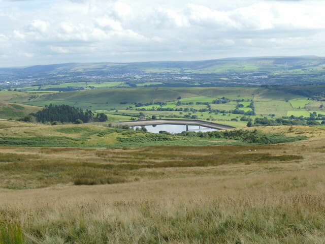
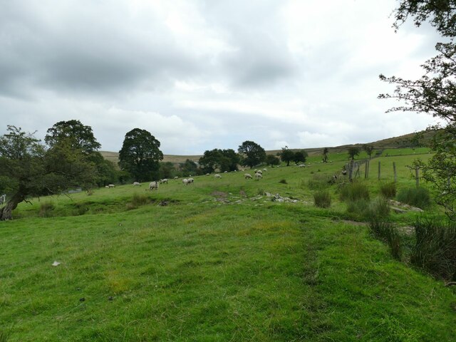
Standing at an elevation of 442 meters (1,450 feet), Calf Hill offers stunning panoramic views of the surrounding countryside. The hill is known for its distinctive conical shape, which can be seen from miles around. It is composed of sandstone and is covered in grass and heather, providing a picturesque landscape.
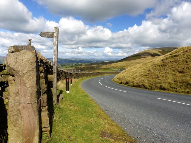
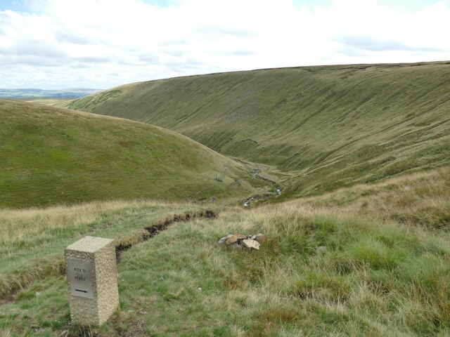
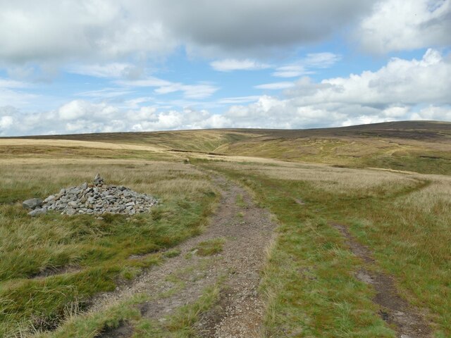
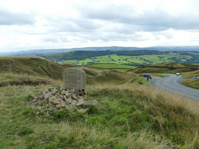
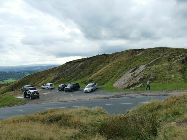
Calf Hill is a popular destination for hikers and walkers, thanks to its accessible trails and breathtaking scenery. There are several well-marked footpaths that lead to the summit, allowing visitors to enjoy the beauty of the area while getting some exercise. The hill also offers opportunities for wildlife spotting, with various bird species and small mammals inhabiting the area.
The hill has a historical significance as well, with evidence of human activity dating back to the Bronze Age. Archaeological remains, including burial mounds and ancient settlements, have been discovered in the vicinity of Calf Hill, adding to its cultural importance.
Overall, Calf Hill is a natural gem in Lancashire, offering visitors the chance to immerse themselves in nature, enjoy outdoor activities, and admire breathtaking views of the surrounding landscape.
If you have any feedback on the listing, please let us know in the comments section below.
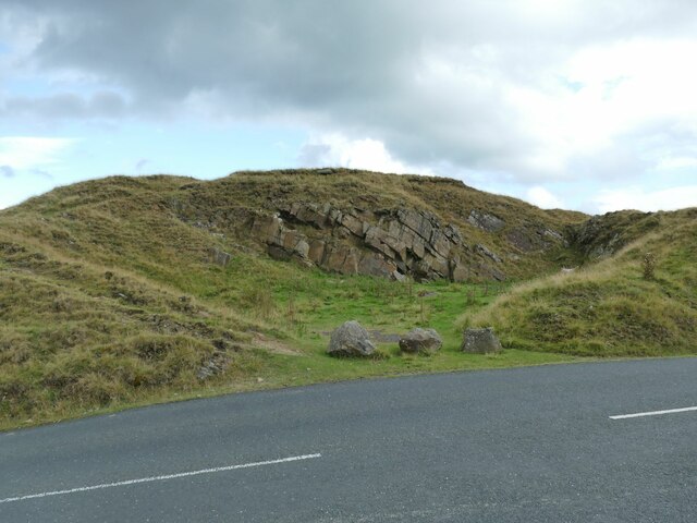
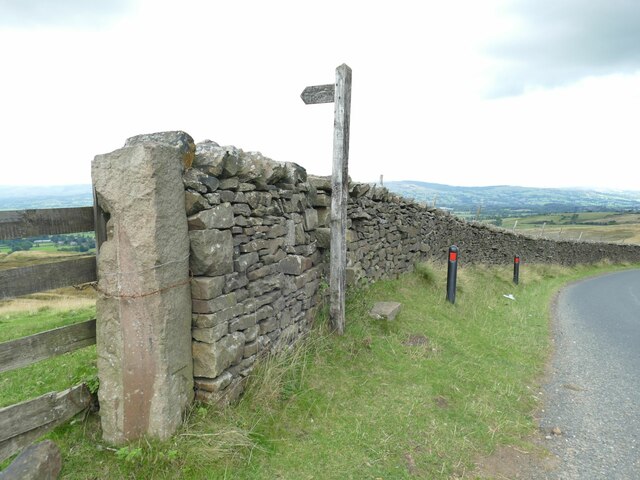
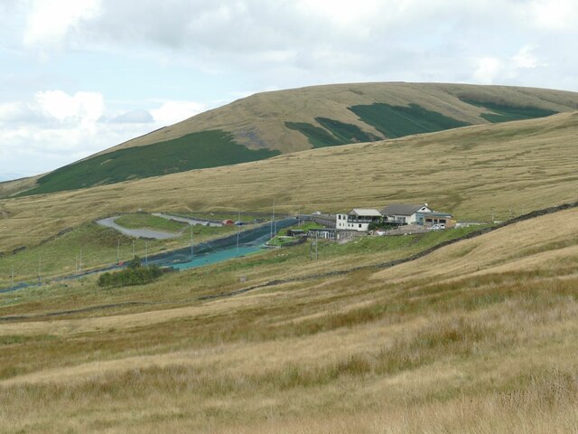
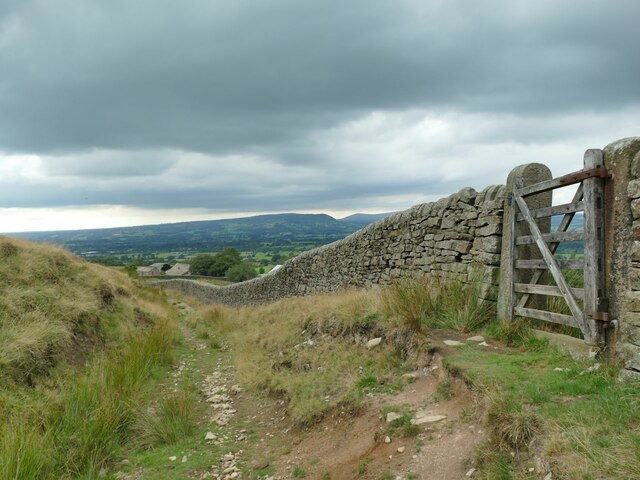
Calf Hill Images
Images are sourced within 2km of 53.841901/-2.3344795 or Grid Reference SD7838. Thanks to Geograph Open Source API. All images are credited.
Calf Hill is located at Grid Ref: SD7838 (Lat: 53.841901, Lng: -2.3344795)
Administrative County: Lancashire
District: Ribble Valley
Police Authority: Lancashire
What 3 Words
///loom.dime.skewed. Near Sabden, Lancashire
Nearby Locations
Related Wikis

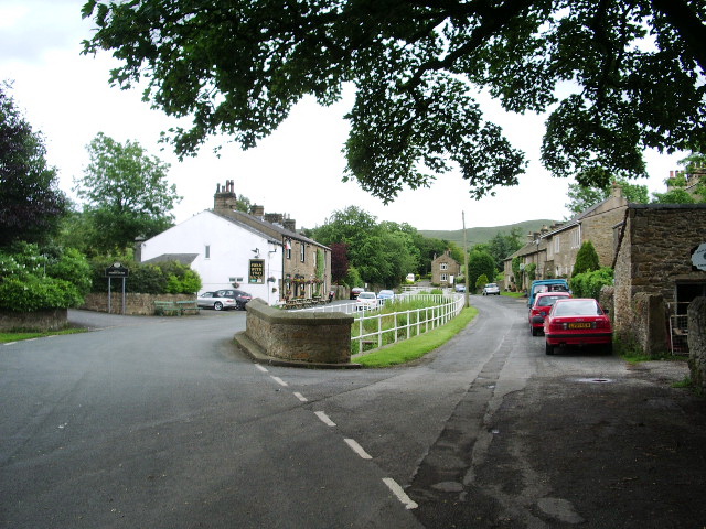
Sabden
Sabden is a village and civil parish in the Ribble Valley, Lancashire, England. Sabden is located south of Pendle Hill, in a valley about three miles north...
Pendleton, Lancashire
Pendleton is a small village and civil parish in Ribble Valley, within the county of Lancashire, England. It is close to the towns of Whalley and Clitheroe...

Mearley
Mearley is a civil parish in Lancashire, England. The parish is north-west of Pendle Hill, east of Clitheroe, and is in the Ribble Valley district. It...
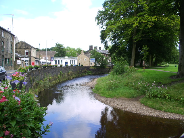
Pendle Water
Pendle Water is a minor river in Lancashire, England. Rising on Pendle Hill, Pendle Water cuts a deep valley between Barley Moor and Spence Hill, where...

Higham, Lancashire
Higham is a village in the Borough of Pendle in Lancashire, England, south of Pendle Hill. The civil parish is named Higham with West Close Booth. The...

Huntroyde Hall
Huntroyde Hall is a grade II listed, 16th-century house in the civil parish of Simonstone in the Borough of Ribble Valley, Lancashire, England. Its estate...

Wiswell
Wiswell is a small village and civil parish in the Ribble Valley, Lancashire, England, close to Whalley and Clitheroe at the foot of Wiswell Moor. At the...
Mearley Brook
Mearley Brook is a minor river in Lancashire, England. It is approximately 4.5 miles (7.2 km) long and has a catchment area of 8.79 square miles (22.77...
Nearby Amenities
Located within 500m of 53.841901,-2.3344795Have you been to Calf Hill?
Leave your review of Calf Hill below (or comments, questions and feedback).