Berrystell Hope
Valley in Roxburghshire
Scotland
Berrystell Hope
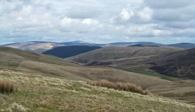
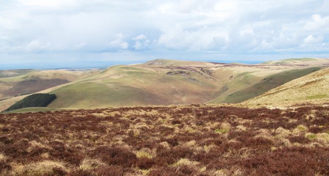
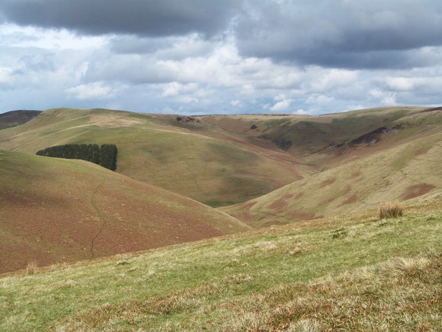
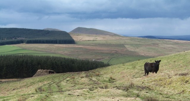
Berrystell Hope is a scenic valley located in Roxburghshire, Scotland. Nestled amidst the picturesque Scottish Borders, this small valley is renowned for its stunning landscapes and tranquil atmosphere. With its rolling hills, verdant meadows, and winding streams, Berrystell Hope offers a serene escape from the hustle and bustle of city life.
The valley is characterized by its diverse flora and fauna, making it a haven for nature enthusiasts and wildlife lovers. The area is home to an array of plant species, including heather, bluebells, and wild roses, which adorn the landscape with vibrant colors during the spring and summer months. Visitors can also spot numerous bird species, such as red grouse, skylarks, and buzzards, as they soar through the clear blue skies.
In addition to its natural beauty, Berrystell Hope boasts a rich history and cultural heritage. The valley is dotted with ancient ruins, stone circles, and remnants of old settlements, offering a glimpse into its past. It is believed that the area has been inhabited since prehistoric times, with evidence of human presence dating back thousands of years.
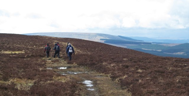
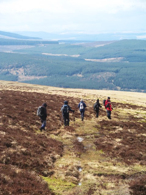
Outdoor activities are plentiful in Berrystell Hope, with opportunities for hiking, cycling, and horse riding among the scenic trails that wind through the valley. The area is also renowned for its excellent fishing spots, attracting anglers from far and wide.
Overall, Berrystell Hope is a hidden gem in Roxburghshire, offering a peaceful retreat for those seeking to immerse themselves in nature and discover the rich history and natural wonders of Scotland.
If you have any feedback on the listing, please let us know in the comments section below.
Berrystell Hope Images
Images are sourced within 2km of 55.378364/-2.3469353 or Grid Reference NT7809. Thanks to Geograph Open Source API. All images are credited.
![Waymarker post on Brownhart Law The comfort of a green dotted line on the map and also a waymarker to show that we are just on the English side of the border. Scotland [with heather] appears on the right hand edge of the photo.](https://s0.geograph.org.uk/geophotos/04/90/97/4909784_ce22dd11.jpg)
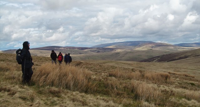
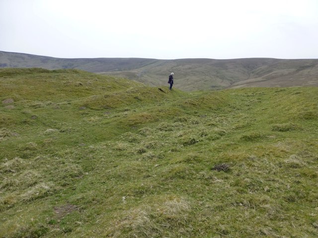
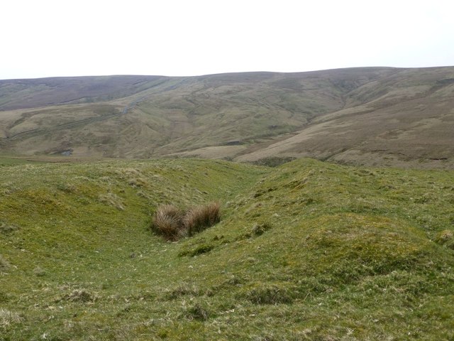
![Heading down Berrystell Fell The track leading down the fellside tends to disappear on this section, but the ground is much improved over the soggy conditions higher up. The line of the track becomes obvious again lower down and can be seen centre left crossing the flank of Hindhope Law. In the far distance are the Eildon Hills.
A good deed was performed close to this point when a 'riggwelter' ewe was discovered and rescued. [Riggwelter is a Yorkshire term for a sheep stranded on its back and unable to right itself]](https://s1.geograph.org.uk/geophotos/04/90/98/4909809_d79ccb63.jpg)
Berrystell Hope is located at Grid Ref: NT7809 (Lat: 55.378364, Lng: -2.3469353)
Unitary Authority: The Scottish Borders
Police Authority: The Lothians and Scottish Borders
What 3 Words
///rider.charts.inspects. Near Rochester, Northumberland
Nearby Locations
Related Wikis

Chew Green
Chew Green is the site of the ancient Roman encampment, commonly but erroneously called Ad Fines (Latin: The Limits) on the 1885-1900 edition of the Ordnance...

Pennymuir Roman camps
The Pennymuir Roman camps are situated southeast of Jedburgh in the Scottish Borders area of Scotland, near the Anglo-Scottish border, in the former Roxburghshire...

Featherwood Roman Camps
Featherwood Roman Camps are neighbouring archaeological sites in Northumberland, England, 1 mile (1.6 km) north of Featherwood and about 3 miles (5 km...

Ramshope
Ramshope is a hamlet and former civil parish, now in the parish of Rochester in Northumberland, England located in Northumberland National Park. It lies...
Nearby Amenities
Located within 500m of 55.378364,-2.3469353Have you been to Berrystell Hope?
Leave your review of Berrystell Hope below (or comments, questions and feedback).