Game Cleugh

Valley in Northumberland

England

Game Cleugh

Disused dam north of Gibbs Hill
Disused dam north of Gibbs Hill Credit: Andrew Curtis

The requested URL returned error: 429 Too Many Requests

If you have any feedback on the listing, please let us know in the comments section below.
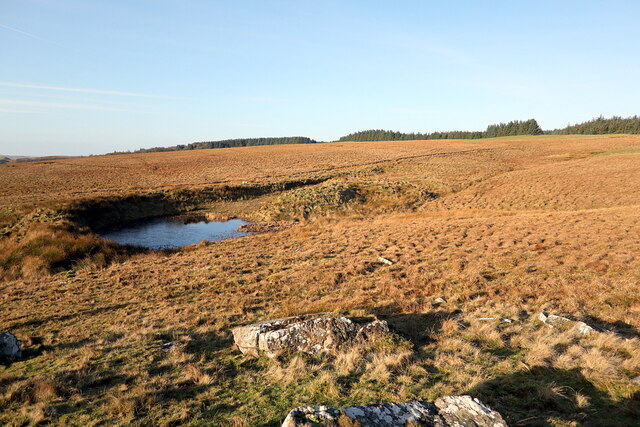
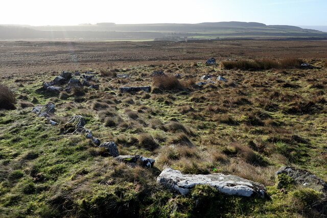
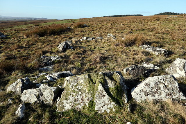
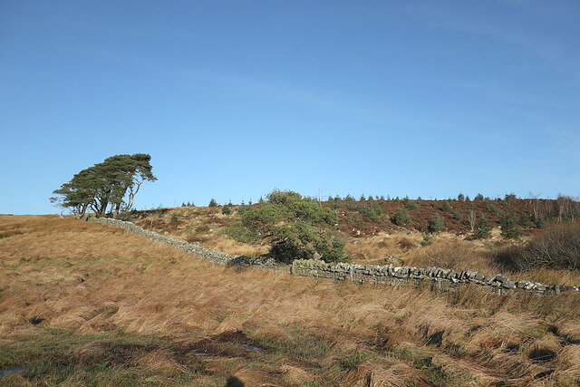
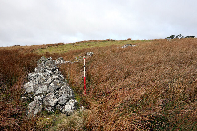
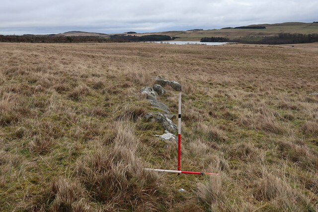
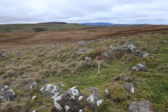
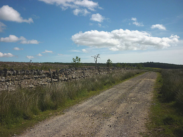
Game Cleugh Images

Images are sourced within 2km of 55.037819/-2.3794092 or Grid Reference NY7571. Thanks to Geograph Open Source API. All images are credited.

Disused dam north of Gibbs Hill
Frost shattered rocks at Chatley Crag
Enclosed Cremation Cemetery near Chatley Crags These remains were first discovered in the 1990s when archaeologists visited the site on several different occasions. Each time the interpretation of the remains has changed and they have variously been described as an enclosed cremation cemetery, stone circle and ring cairn.

It is a roughly oval enclosure measuring 30m by 25m inside a bank of earth and stones. This bank is 2m wide and a series of upright stone slabs line its inner face. Some of these stones have been moved in medieval times to build a shieling inside the enclosing bank <a href="https://www.geograph.org.uk/photo/7085277">NY7570 : Foundations of stone building in enclosure near Chatley Crags</a>

Part of the enclosure was excavated in 1994 and this showed it to have been a complex structure with several phases of use. This work also found a large pit in the centre of the enclosure that probably originally contained a burial.

This is a Scheduled Monument protected by law now considered as a rare example of a Bronze Age (2600BC to 700BC) Enclosed Cremation Cemetery.
<span class="nowrap"><a title="https://historicengland.org.uk/listing/the-list/list-entry/1020342" rel="nofollow ugc noopener" href="https://historicengland.org.uk/listing/the-list/list-entry/1020342">Link</a><img style="margin-left:2px;" alt="External link" title="External link - shift click to open in new window" src="https://s1.geograph.org.uk/img/external.png" width="10" height="10"/></span>
Enclosed Cremation Cemetery near Chatley Crags
These remains were first discovered in the 1990s when archaeologists visited the site on several different occasions. Each time the interpretation of the remains has changed and they have variously been described as an enclosed cremation cemetery, stone circle and ring cairn. It is a roughly oval enclosure measuring 30m by 25m inside a bank of earth and stones. This bank is 2m wide and a series of upright stone slabs line its inner face. Some of these stones have been moved in medieval times to build a shieling inside the enclosing bank NY7570 : Foundations of stone building in enclosure near Chatley Crags Part of the enclosure was excavated in 1994 and this showed it to have been a complex structure with several phases of use. This work also found a large pit in the centre of the enclosure that probably originally contained a burial. This is a Scheduled Monument protected by law now considered as a rare example of a Bronze Age (2600BC to 700BC) Enclosed Cremation Cemetery. LinkExternal link
Stone shelter, Chatley Crags
Foundations of stone building in enclosure near Chatley Crags Reusing some of the stones of the Bronze Age Enclosed Cremation Cemetery <a href="https://www.geograph.org.uk/photo/7084996">NY7570 : Enclosed Cremation Cemetery near Chatley Crags</a>, interpreted as a relatively modern shieling.
Foundations of stone building in enclosure near Chatley Crags
Reusing some of the stones of the Bronze Age Enclosed Cremation Cemetery NY7570 : Enclosed Cremation Cemetery near Chatley Crags, interpreted as a relatively modern shieling.
Western boundary of Greenlee Plantation
Chatley Crags from south-east Chatley Crags is a small zone of hard sandstone within the mosaic of the Tyne Limestone Formation of the Carboniferous Period.
Chatley Crags from south-east
Chatley Crags is a small zone of hard sandstone within the mosaic of the Tyne Limestone Formation of the Carboniferous Period.
Small enclosed area of lazy-beds south-west of Greenlee The fertility of the soil here is shown in the foreground molehills.

Lazy bed is a traditional method of arable cultivation. Rather like cord rig cultivation, parallel banks of ridge and furrow are dug by spade although lazy beds have banks that are bigger, up to 2.5 metres (8 ft 2 in) in width, with narrow drainage channels between them. It was used in southern parts of Britain from the post-Roman period until the post-medieval period, and across much of Ireland and Scotland until the 19th century.

Although it is largely extinct, it is still to be found in parts of the Hebrides and the west of Ireland. In these places, the method used is normally to lift up sods of peat and apply desalinated seaweed fertiliser to improve the ground. Potatoes were often grown in this way in these regions, until the potato blight Phytophthora infestans caused potato famine in the Highlands and Ireland.
<span class="nowrap"><a title="https://en.wikipedia.org/wiki/Lazy_bed" rel="nofollow ugc noopener" href="https://en.wikipedia.org/wiki/Lazy_bed">Link</a><img style="margin-left:2px;" alt="External link" title="External link - shift click to open in new window" src="https://s1.geograph.org.uk/img/external.png" width="10" height="10"/></span>
Small enclosed area of lazy-beds south-west of Greenlee
The fertility of the soil here is shown in the foreground molehills. Lazy bed is a traditional method of arable cultivation. Rather like cord rig cultivation, parallel banks of ridge and furrow are dug by spade although lazy beds have banks that are bigger, up to 2.5 metres (8 ft 2 in) in width, with narrow drainage channels between them. It was used in southern parts of Britain from the post-Roman period until the post-medieval period, and across much of Ireland and Scotland until the 19th century. Although it is largely extinct, it is still to be found in parts of the Hebrides and the west of Ireland. In these places, the method used is normally to lift up sods of peat and apply desalinated seaweed fertiliser to improve the ground. Potatoes were often grown in this way in these regions, until the potato blight Phytophthora infestans caused potato famine in the Highlands and Ireland. LinkExternal link
Greenlee
Greenlee
Greenlee farmhouse
Greenlee farmhouse
Pastureland north of Greenlee Lough
Site of well below Greenlee
Disused sheep shelter west of Greenlee Plantation Shown as such on the 2nd Edition Ordnance Survey 25" map.
Disused sheep shelter west of Greenlee Plantation
Shown as such on the 2nd Edition Ordnance Survey 25" map.
Old wall west of Greenlee Plantation
Boulderfield below Chatley Crags Showing possible small oval enclosure.
Boulderfield below Chatley Crags
Showing possible small oval enclosure.
Path detouring around West Stonefold farm This farm is boxed around by the path now.
Path detouring around West Stonefold farm
This farm is boxed around by the path now.
Wildflower meadow below Greenlee The footpath from the farm south towards Greenlee Lough descends through this meadow thick with buttercups and yellow rattle. It is owned by the National Trust and stands out in views from afar.
Wildflower meadow below Greenlee
The footpath from the farm south towards Greenlee Lough descends through this meadow thick with buttercups and yellow rattle. It is owned by the National Trust and stands out in views from afar.
Track by Greenlee Plantation The plantation has been clear-felled.
Track by Greenlee Plantation
The plantation has been clear-felled.
Show me another place!

Game Cleugh is located at Grid Ref: NY7571 (Lat: 55.037819, Lng: -2.3794092)

Unitary Authority: Northumberland

Police Authority: Northumbria

What 3 Words

///skate.hurtles.dragonfly. Near Bardon Mill, Northumberland

Nearby Locations

Game Cleugh

Related Wikis

Crag Lough

Crag Lough is an inland lake at the southern edge of Northumberland National Park, 2.5 miles (4.0 km) north of Bardon Mill, and 0.5 miles (0.8 km) north...

Broomlee Lough

Broomlee Lough is an inland lake in Northumberland, England at the southern edge of Northumberland National Park. The lough lies immediately north of the...
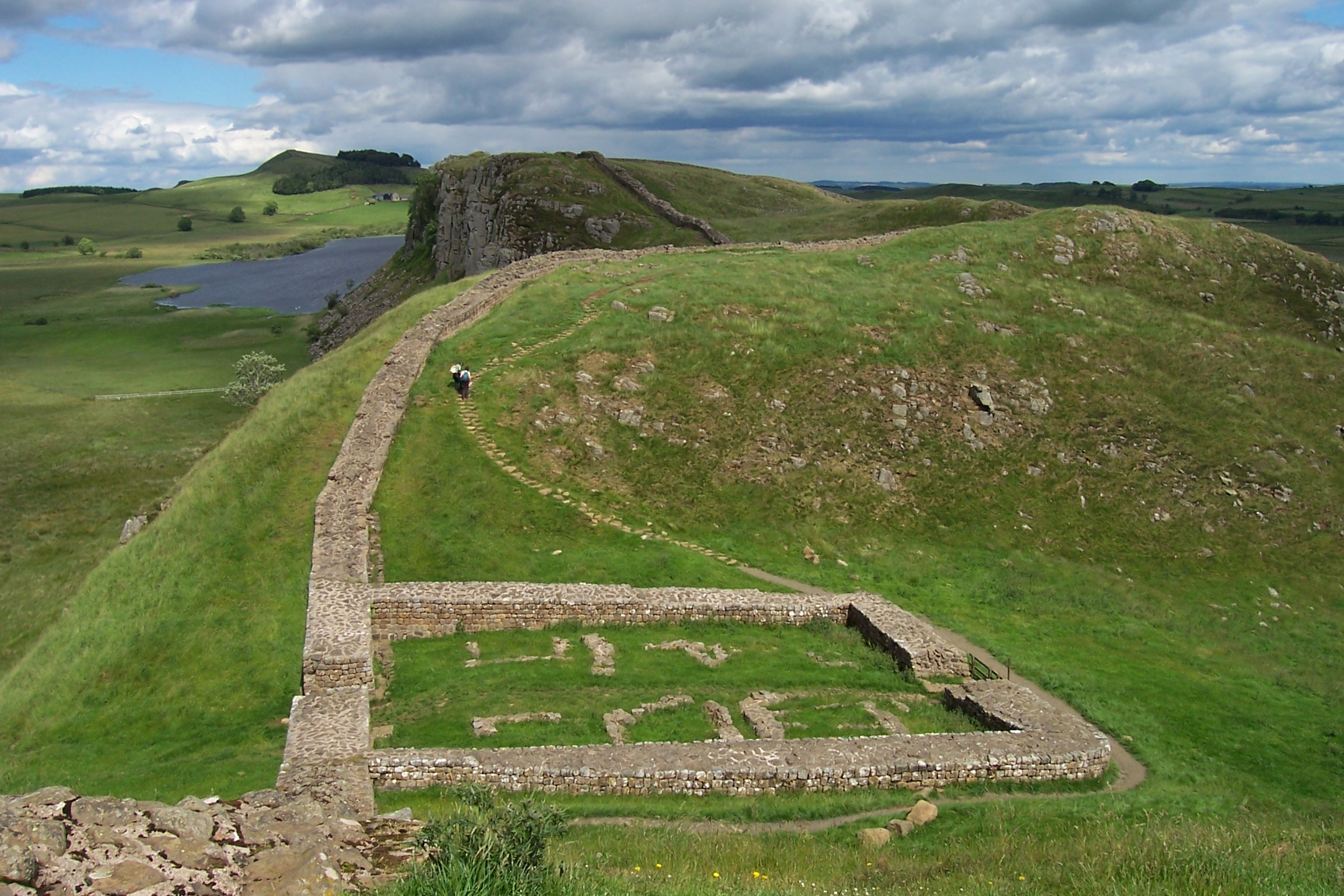
Milecastle 38

Milecastle 38 (Hotbank) was a milecastle on Hadrian's Wall in the vicinity of Hotbank Farm, (grid reference NY77276813). It is notable for the joint inscription...

Milecastle 39

Milecastle 39 (Castle Nick) is a milecastle on Hadrian's Wall (grid reference NY76066773). == Description == Milecastle 39 is located northeast of Once...

Nearby Amenities

Located within 500m of 55.037819,-2.3794092
Drove Rigg
Place: locality
Lat/Long: 55.0365999/-2.385569
The data included in this document is from www.openstreetmap.org. The data is made available under ODbL.

Have you been to Game Cleugh?

Leave your review of Game Cleugh below (or comments, questions and feedback).