Quonister Cleugh

Valley in Northumberland

England

Quonister Cleugh

Herd's House
Herd's House Credit: Roger Cornfoot

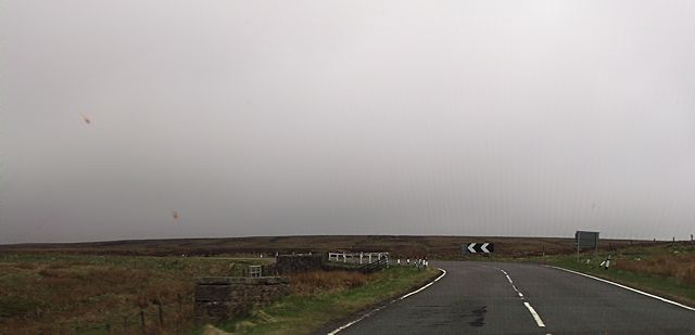
Quonister Cleugh is a picturesque valley located in the county of Northumberland, England. Nestled amidst the stunning landscape of the North Pennines, this valley is renowned for its natural beauty and captivating charm.

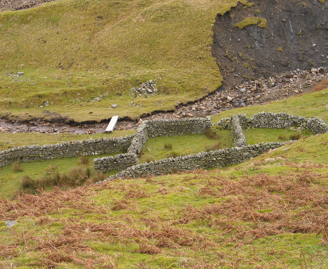
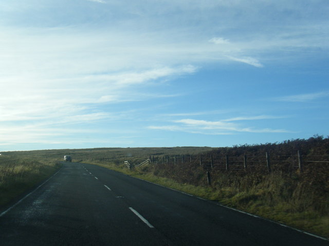
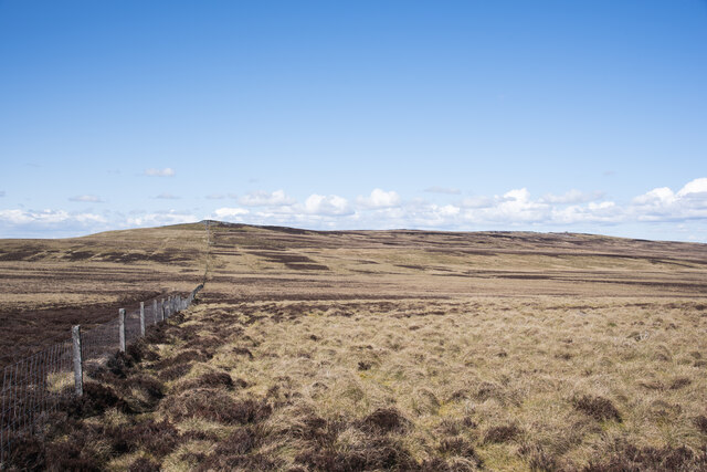
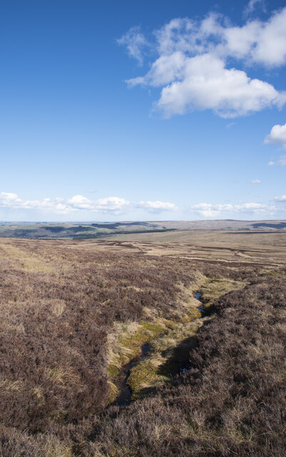
Situated near the village of Allenheads, Quonister Cleugh is surrounded by rolling hills, lush green meadows, and dense woodlands. The valley is carved by a small stream that meanders through its heart, adding to the tranquility of the area. The stream is often dotted with small cascades and waterfalls, creating a soothing soundscape that complements the visual splendor.

The flora and fauna of Quonister Cleugh are diverse and thriving. The valley is home to a wide range of plant species, including ferns, heather, and wildflowers, which paint the landscape with vibrant colors throughout the year. Various bird species can also be spotted, making it a paradise for birdwatchers. Additionally, the valley is occasionally visited by deer and other small mammals, adding to the area's natural allure.

Hiking and walking enthusiasts are drawn to Quonister Cleugh due to its network of well-maintained footpaths that provide opportunities for exploration and adventure. The valley offers breathtaking views from its elevated sections, with vistas stretching across the surrounding countryside.

In conclusion, Quonister Cleugh is a hidden gem in Northumberland, offering visitors a tranquil escape into nature's embrace. Its stunning landscapes, diverse wildlife, and well-marked trails make it an ideal destination for nature lovers and outdoor enthusiasts alike.

If you have any feedback on the listing, please let us know in the comments section below.

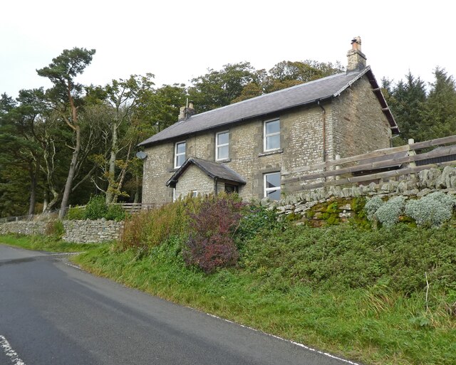
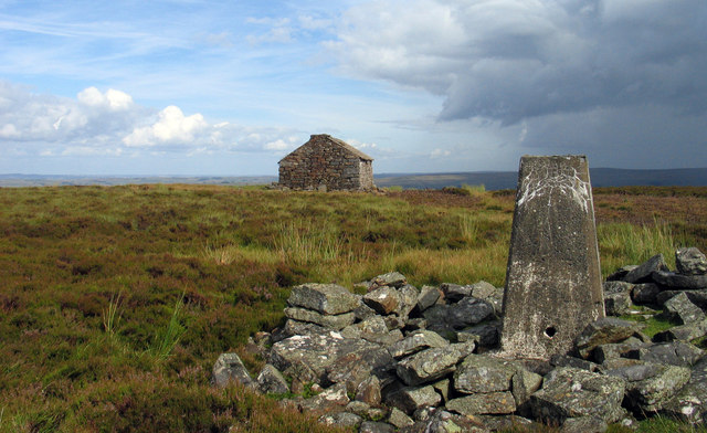
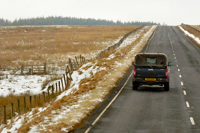
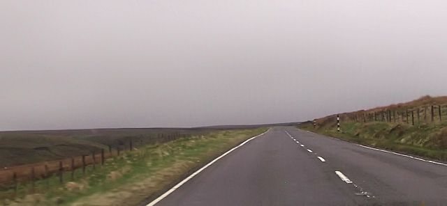
Quonister Cleugh Images

Images are sourced within 2km of 54.874321/-2.3937819 or Grid Reference NY7453. Thanks to Geograph Open Source API. All images are credited.

Herd's House
Herd's House
Trig point on Pike Rigg Pike Rigg is a minor elongated rise on Whitfield Moor. Stones have been gathered close to the pillar and some have been formed into a 'currick' which is just out of view to the right. The small building in the distance is used as a store for a farmer or shepherd.
Trig point on Pike Rigg
Pike Rigg is a minor elongated rise on Whitfield Moor. Stones have been gathered close to the pillar and some have been formed into a 'currick' which is just out of view to the right. The small building in the distance is used as a store for a farmer or shepherd.
A686, Whitfield Moor Travelling south from Haydon Bridge to Alston along the A686. This is still in Northumberland; the border with Cumbria is about a mile ahead.
A686, Whitfield Moor
Travelling south from Haydon Bridge to Alston along the A686. This is still in Northumberland; the border with Cumbria is about a mile ahead.
Herds House on A686
Herds House on A686
Straight road south of Round Hill
Sharp bend on A686 on Whitfield Moor The bridge on the bend crosses a stream
Sharp bend on A686 on Whitfield Moor
The bridge on the bend crosses a stream
Sheepfold in Hope Cleugh Hope Cleugh is the main valley in this vicinity where a number of streams come together - stones in the oddly named Quonister Cleugh can just be seen at the top left corner in the image. There are several sheepfolds in the area too; this is the most intricately made of them.
Sheepfold in Hope Cleugh
Hope Cleugh is the main valley in this vicinity where a number of streams come together - stones in the oddly named Quonister Cleugh can just be seen at the top left corner in the image. There are several sheepfolds in the area too; this is the most intricately made of them.
Herd's House On the A686 overlooking the valley of Whitewalls Burn.
Herd's House
On the A686 overlooking the valley of Whitewalls Burn.
Reedy pasture above Whitewalls Burn Sandyford Sike meanders down from Ouston Fell across the valley.
Reedy pasture above Whitewalls Burn
Sandyford Sike meanders down from Ouston Fell across the valley.
A686 below Whitfield Moor
A686 bend above Longcleugh Bolt
A686 Road to Alston near Herd's House
Road (A686) at Herd's House Looking eastward.
Road (A686) at Herd's House
Looking eastward.
Ordnance Survey Flush Bracket 11742 This bracket can be found on the wall of Herd's House - a private dwelling. The benchmark height is recorded as being 383.015 metres above sea level.
For more detail see : <span class="nowrap"><a title="http://www.bench-marks.org.uk/bm22601" rel="nofollow ugc noopener" href="http://www.bench-marks.org.uk/bm22601">Link</a><img style="margin-left:2px;" alt="External link" title="External link - shift click to open in new window" src="https://s1.geograph.org.uk/img/external.png" width="10" height="10"/></span>
Ordnance Survey Flush Bracket 11742
This bracket can be found on the wall of Herd's House - a private dwelling. The benchmark height is recorded as being 383.015 metres above sea level. For more detail see : LinkExternal link
Old Milestone by the A686, near Long Cleugh Carved stone post by the A686, in parish of Plenmeller with Whitfield (Tynedale District), South of Morleyhill Fell, on grass verge, on South side of road. Haydon Bridge stone, erected by the Alston turnpike trust in the 18th century. Fallen.

Inscription reads:-
HAYDON
BRIDGE
(12)
ALSTON
5  

Milestone Society National ID: NB_HBAS12
Old Milestone by the A686, near Long Cleugh
Carved stone post by the A686, in parish of Plenmeller with Whitfield (Tynedale District), South of Morleyhill Fell, on grass verge, on South side of road. Haydon Bridge stone, erected by the Alston turnpike trust in the 18th century. Fallen. Inscription reads:- HAYDON BRIDGE (12) ALSTON 5 Milestone Society National ID: NB_HBAS12
Herd's House Herd's House is an isolated building on the north side of the A686 between Hexham and Alston; it stands at around 380 m. above sea level, overlooking West Allendale.
Herd's House
Herd's House is an isolated building on the north side of the A686 between Hexham and Alston; it stands at around 380 m. above sea level, overlooking West Allendale.
Moorland slope rising to Pike Rigg Gently rising moorland alongside a boundary fence, north of Willyshaw Rigg.
Moorland slope rising to Pike Rigg
Gently rising moorland alongside a boundary fence, north of Willyshaw Rigg.
Stream groove on Mainsrigg Fell Mainsrigg Fell is part of the moorland upland Pike Rigg. The stream head doesn't register on OS mapping but must surely feed into Little Willy's Sike.
West Allendale is in the distance.
Stream groove on Mainsrigg Fell
Mainsrigg Fell is part of the moorland upland Pike Rigg. The stream head doesn't register on OS mapping but must surely feed into Little Willy's Sike. West Allendale is in the distance.
Show me another place!

Quonister Cleugh is located at Grid Ref: NY7453 (Lat: 54.874321, Lng: -2.3937819)

Unitary Authority: Northumberland

Police Authority: Northumbria

What 3 Words

///scoop.rags.tree. Near Alston, Cumbria

Related Wikis

Ouston, Ninebanks

Ouston is a small settlement in south west Northumberland, England in the North Pennines Area of Outstanding Natural Beauty 8 miles (13 km) north-east...

Ninebanks

Ninebanks is a small village in south west Northumberland, England in the North Pennines Area of Outstanding Natural Beauty 8 miles (13 km) north-east...

Ayle

Ayle is a village in Northumberland, England, situated to the north of Alston. There are six residences in the hamlet. == Governance == Ayle is in the...

Bearsbridge

Bearsbridge is a village in Northumberland, in England. It is situated to the west of Hexham, on the A686. == Governance == Bearsbridge is in the parliamentary...

Nearby Amenities

Located within 500m of 54.874321,-2.3937819
Ford: yes
Source: Bing
Lat/Long: 54.8773286/-2.3900916
Hope Cleugh
Place: locality
Source: Bing
Lat/Long: 54.8782507/-2.3907473
Quonister Cleugh
Place: locality
Source: Bing
Lat/Long: 54.8769129/-2.3894625
The data included in this document is from www.openstreetmap.org. The data is made available under ODbL.

Have you been to Quonister Cleugh?

Leave your review of Quonister Cleugh below (or comments, questions and feedback).