Fordbury Bottom

Valley in Somerset Mendip

England

Fordbury Bottom

The Royal Oak Public House in Frome.
The Royal Oak Credit: Wayland Smith

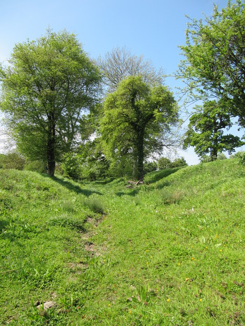
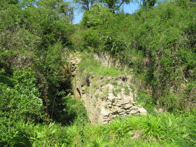
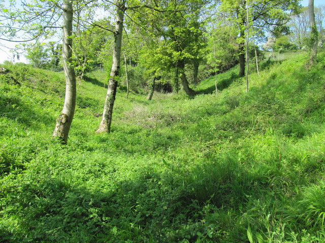
Fordbury Bottom is a picturesque valley located in Somerset, England. Situated in the southern part of the county, this stunning natural landscape is renowned for its bucolic charm and scenic beauty. Nestled between rolling hills and surrounded by lush greenery, Fordbury Bottom offers a tranquil and idyllic setting.

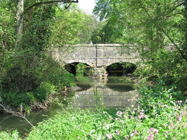
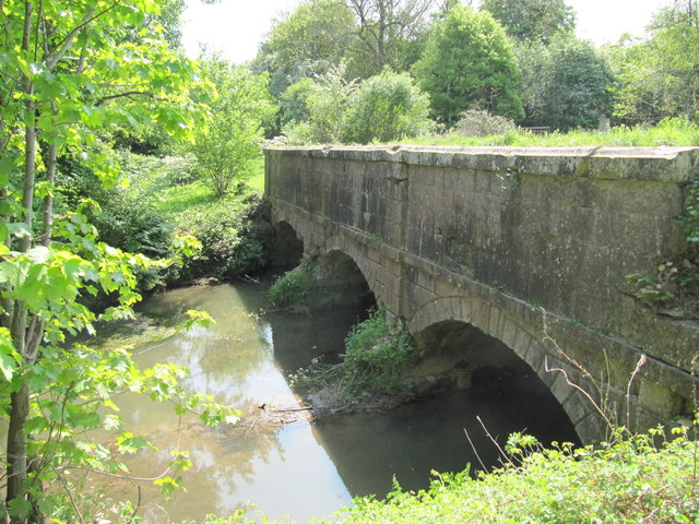
The valley is named after the small river that meanders through it, known as Fordbury Brook. This gentle stream, lined with willow trees and wildflowers, adds to the enchanting atmosphere of the area. The brook is also home to a variety of wildlife, including ducks, herons, and occasionally even otters.

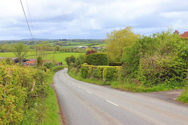
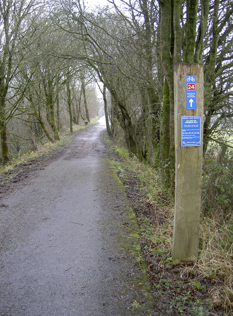
The landscape of Fordbury Bottom is characterized by its undulating hills and meadows, which provide ample space for outdoor activities such as walking, hiking, and picnicking. The valley is crisscrossed by a network of footpaths and trails, allowing visitors to explore the area and enjoy the stunning vistas.

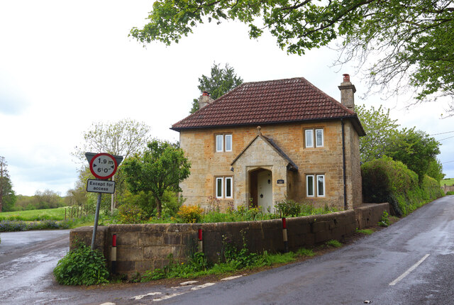
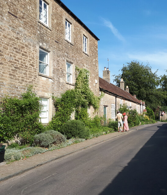
Historically, Fordbury Bottom has been an important agricultural area, with farms scattered throughout the valley. The fertile soil and favorable climate have made it conducive to farming, particularly for sheep and cattle. As a result, the valley is dotted with charming farmhouses and barns, adding to its rural charm.

Overall, Fordbury Bottom is a hidden gem in Somerset, offering visitors a peaceful retreat away from the hustle and bustle of everyday life. Its natural beauty, combined with its rich agricultural heritage, makes it a truly special place to visit and experience the beauty of the English countryside.

If you have any feedback on the listing, please let us know in the comments section below.

Fordbury Bottom Images

Images are sourced within 2km of 51.23787/-2.363311 or Grid Reference ST7448. Thanks to Geograph Open Source API. All images are credited.
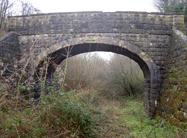
The Royal Oak Public House in Frome.
The Royal Oak
Public House in Frome.
Egford Hill Downhill towards Frome.
Egford Hill
Downhill towards Frome.
Lower Whatley Isolated dwelling at Lower Whatley.
Lower Whatley
Isolated dwelling at Lower Whatley.
Whatley Church Church at Whatley.
Whatley Church
Church at Whatley.
Cottages in Selwood Street
Course of the Dorset and Somerset Canal Looking west along the bed of the abandoned Dorset and Somerset Canal, constructed in about 1798, but never completed or opened.  This section of the canal was intended to form part of a branch extending to Nettlebridge for the purpose of transporting coal from the Somerset coal field.
Course of the Dorset and Somerset Canal
Looking west along the bed of the abandoned Dorset and Somerset Canal, constructed in about 1798, but never completed or opened. This section of the canal was intended to form part of a branch extending to Nettlebridge for the purpose of transporting coal from the Somerset coal field.
Remains of a balance lock on the Dorset and Somerset Canal In 1798 the Somerset ironmaster James Fussell patented a "Balance Lock for Raising or Lowering Boats, &c.".  A canal lift to his design was built and demonstrated at this site in 1800, when it successfully raised boats by about 20 feet up to the summit level of the Nettlebridge branch of the Dorset and Somerset Canal.  Following the trial, construction of several more balance locks was begun at nearby Barrow Hill, but work on the canal was abandoned when funds ran out, and the locks were never completed.  This balance lock was the subject of an archaeological excavation in about 2005, but nature is now taking over the site again.
Remains of a balance lock on the Dorset and Somerset Canal
In 1798 the Somerset ironmaster James Fussell patented a "Balance Lock for Raising or Lowering Boats, &c.". A canal lift to his design was built and demonstrated at this site in 1800, when it successfully raised boats by about 20 feet up to the summit level of the Nettlebridge branch of the Dorset and Somerset Canal. Following the trial, construction of several more balance locks was begun at nearby Barrow Hill, but work on the canal was abandoned when funds ran out, and the locks were never completed. This balance lock was the subject of an archaeological excavation in about 2005, but nature is now taking over the site again.
Brick Kiln Farm Bridge Bridge carrying Wanwards Lane across the Frome to Radstock railway (closed to passenger traffic in 1959, and to goods in 1968). It now crosses The Colliers Way (part of National Cycle Network Route 24), though the overgrown railway tracks are still in place.
Brick Kiln Farm Bridge
Bridge carrying Wanwards Lane across the Frome to Radstock railway (closed to passenger traffic in 1959, and to goods in 1968). It now crosses The Colliers Way (part of National Cycle Network Route 24), though the overgrown railway tracks are still in place.
Bed of the abandoned Dorset and Somerset Canal The Dorset and Somerset canal was intended to ascend Barrow Hill using a flight of five boat lifts.  Counting from the bottom, there is no evidence that work ever commenced on the first lift.  The other four were never completed, and their chambers, set into the hillside, are overgrown and in various states of dereliction.  This image was taken in the short section of canal above the third lift and looks northwest towards the chamber of the fourth.
Bed of the abandoned Dorset and Somerset Canal
The Dorset and Somerset canal was intended to ascend Barrow Hill using a flight of five boat lifts. Counting from the bottom, there is no evidence that work ever commenced on the first lift. The other four were never completed, and their chambers, set into the hillside, are overgrown and in various states of dereliction. This image was taken in the short section of canal above the third lift and looks northwest towards the chamber of the fourth.
Flowers Farm Bridge Another small pedestrian bridge over the old railway bridge. Today it's Route 24 on the National Cycle Network, but it was originally a GWR branch line from Radstock to Frome, built in 1854 to Brunel's Broad Gauge initially, and carried coal from the local mines. A year later it began carrying passengers too.
But as the viability declined passengers were stopped in 1958; freight soldiered on until the line closed completely in 1988. It made a natural cyclepath which has a tarmac surface only recently completed, but the old rails remain for much of its length.
An old fashioned benchmark still exists at the foot of the arch - see <a href="https://www.geograph.org.uk/photo/3329128">ST7450 : Projecting Bracket at Barrow Hill</a>.
Flowers Farm Bridge
Another small pedestrian bridge over the old railway bridge. Today it's Route 24 on the National Cycle Network, but it was originally a GWR branch line from Radstock to Frome, built in 1854 to Brunel's Broad Gauge initially, and carried coal from the local mines. A year later it began carrying passengers too. But as the viability declined passengers were stopped in 1958; freight soldiered on until the line closed completely in 1988. It made a natural cyclepath which has a tarmac surface only recently completed, but the old rails remain for much of its length. An old fashioned benchmark still exists at the foot of the arch - see ST7450 : Projecting Bracket at Barrow Hill.
Projecting Bracket at Barrow Hill The old Radstock-Frome railway line was opened in the mid-1850s, but this Ordnance Survey benchmark was installed in the early part of the 1900s. It is fairly common on the railways of the area but the type itself was replaced by the Flush Bracket shortly after the start of the Second Geodetic Levelling. Indeed, it appears to be a collector's item as the Conduit Bridge item (some 1.5Km to the west) has been removed. See <a href="https://www.geograph.org.uk/photo/3329125">ST7450 : Flowers Farm Bridge</a> a wider location view, <a href="https://www.geograph.org.uk/photo/3328700">ST7350 : Lost!</a> for the missing mark and <span class="nowrap"><a title="http://www.bench-marks.org.uk/bm2234" rel="nofollow ugc noopener" href="http://www.bench-marks.org.uk/bm2234">Link</a><img style="margin-left:2px;" alt="External link" title="External link - shift click to open in new window" src="https://s1.geograph.org.uk/img/external.png" width="10" height="10"/></span> for the entry in the Benchmark Database.
Projecting Bracket at Barrow Hill
The old Radstock-Frome railway line was opened in the mid-1850s, but this Ordnance Survey benchmark was installed in the early part of the 1900s. It is fairly common on the railways of the area but the type itself was replaced by the Flush Bracket shortly after the start of the Second Geodetic Levelling. Indeed, it appears to be a collector's item as the Conduit Bridge item (some 1.5Km to the west) has been removed. See ST7450 : Flowers Farm Bridge a wider location view, ST7350 : Lost! for the missing mark and LinkExternal link for the entry in the Benchmark Database.
Any which way More old-time enamel pointing fingers, adorning the undersides of bridges along the Colliers' Way. This one is Flowers Farm Bridge, with more to be enjoyed at <a href="https://www.geograph.org.uk/photo/3329146">ST7151 : Is it me?</a>.
Any which way
More old-time enamel pointing fingers, adorning the undersides of bridges along the Colliers' Way. This one is Flowers Farm Bridge, with more to be enjoyed at ST7151 : Is it me?.
Gate to the field A simple gate opposite Flowers Farm Bridge - see [[[3329125]] - that allows non-motorised passage to the other field on the other side of the railway. See also <a href="https://www.geograph.org.uk/photo/3330254">ST7450 : For all travellers</a> for the cattle grid here.
Gate to the field
A simple gate opposite Flowers Farm Bridge - see [[[3329125]] - that allows non-motorised passage to the other field on the other side of the railway. See also ST7450 : For all travellers for the cattle grid here.
For all travellers Despite a simple cyclepath running alongside the old railway line, these gates are clearly designed to control a variety of wheeled, two-legged and four-legged users through. The adjoining bridge crossing the line is not one for motorised traffic as it leads to a field. See <a href="https://www.geograph.org.uk/photo/3330247">ST7450 : Gate to the field</a> for the gate and [[[3329125]] for the little bridge.
For all travellers
Despite a simple cyclepath running alongside the old railway line, these gates are clearly designed to control a variety of wheeled, two-legged and four-legged users through. The adjoining bridge crossing the line is not one for motorised traffic as it leads to a field. See ST7450 : Gate to the field for the gate and [[[3329125]] for the little bridge.
Onwards to Bucklands Bridge National Route 24, leading eventually to Frome. Permission is granted to travel along it!
Onwards to Bucklands Bridge
National Route 24, leading eventually to Frome. Permission is granted to travel along it!
Course of the Dorset and Somerset Canal Looking along the bed of the abandoned canal when the wild garlic was in full bloom.  This section of the Dorset and Somerset Canal was constructed in about 1798, but the canal was never completed or opened.
Course of the Dorset and Somerset Canal
Looking along the bed of the abandoned canal when the wild garlic was in full bloom. This section of the Dorset and Somerset Canal was constructed in about 1798, but the canal was never completed or opened.
Murtry Aqueduct across the Mells River Murtry Aqueduct was built in about 1798 to carry the Dorset and Somerset Canal across the Mells River.  However, the canal was never completed or opened.
Murtry Aqueduct across the Mells River
Murtry Aqueduct was built in about 1798 to carry the Dorset and Somerset Canal across the Mells River. However, the canal was never completed or opened.
Murtry Aqueduct across the Mells River North side of the three arched Murtry Aqueduct, which was built in about 1798 to carry the Dorset and Somerset Canal across the Mells River. However, the canal was never completed or opened.
Murtry Aqueduct across the Mells River
North side of the three arched Murtry Aqueduct, which was built in about 1798 to carry the Dorset and Somerset Canal across the Mells River. However, the canal was never completed or opened.
Show me another place!

Fordbury Bottom is located at Grid Ref: ST7448 (Lat: 51.23787, Lng: -2.363311)

Administrative County: Somerset

District: Mendip

Police Authority: Avon and Somerset

What 3 Words

///outsize.lifeboats.stability. Near Frome, Somerset

Related Wikis

Great Elm

Great Elm is a village and civil parish between Mells and Frome in the Mendip district of Somerset, England. The parish includes the hamlet of Hapsford...

Tedbury Camp

Tedbury Camp is a multivallate Iron Age promontory hill fort defended by two parallel banks near Great Elm, Somerset, England. == Background == Hill forts...

Vallis Vale

Vallis Vale (grid reference ST755490) is a 23.9 hectare biological and geological Site of Special Scientific Interest near Great Elm in Somerset, notified...

Old Iron Works, Mells

Old Iron Works, Mells (Fussells' Lower Works) (grid reference ST738488) is a 0.25 hectare biological Site of Special Scientific Interest, in the Wadbury...

Wadbury Camp

Wadbury Camp is a promontory fort in Somerset, England that protected the mining district of the Mendip Hills in pre-Roman times. It seems to have been...

Whatley, Mendip

Whatley is a small rural village and civil parish about 2.5 miles (4 km) west of Frome in the English county of Somerset. The parish lies south of Mells...

Mells, Somerset

Mells is a village and civil parish in Somerset, England, near the town of Frome. == Vobster == The parish includes the village of Vobster, which had a...

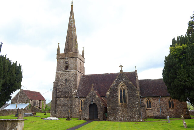
Church of St George, Whatley

The Anglican Church of St George in Whatley, within the English county of Somerset, dates from the 14th century. It is a Grade II* listed building.Parts...

Nearby Amenities

Located within 500m of 51.23787,-2.363311
Great Elm
Place: village
Website: http://www.greatelm.org/index.html
Lat/Long: 51.2418593/-2.363657
Railway: crossing
Lat/Long: 51.2379586/-2.363615
Post Box
Operator: Royal Mail
Operator Wikidata: Q638098
Post Box Type: lamp
Ref: BA11 66
Royal Cypher: EIIR
Royal Cypher Wikidata: Q33102113
Lat/Long: 51.2417022/-2.363124
Bus Stop
Church Close
Bus: yes
Naptan AtcoCode: 3600SOB21860
Naptan Bearing: NE
Naptan CommonName: Church Close
Naptan Indicator: NE-bound
Naptan NaptanCode: sotdjtgj
Naptan Verified: no
Public Transport: platform
Lat/Long: 51.2416834/-2.3629814
Bus Stop
Telephone Box
Bus: yes
Naptan AtcoCode: 3600SOB21861
Naptan Bearing: W
Naptan CommonName: Telephone Box
Naptan Indicator: W-bound
Naptan NaptanCode: sotdjtgm
Naptan Verified: no
Public Transport: platform
Lat/Long: 51.2416068/-2.3629393
The data included in this document is from www.openstreetmap.org. The data is made available under ODbL.

Have you been to Fordbury Bottom?

Leave your review of Fordbury Bottom below (or comments, questions and feedback).