Barrow Clough

Valley in Lancashire Ribble Valley

England

Barrow Clough

Fields near the A59
Fields near the A59 Credit: Anthony Parkes

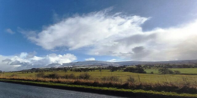
Barrow Clough is a picturesque valley located in Lancashire, England. Nestled between rolling hills and lush greenery, it is a haven for nature enthusiasts and those seeking tranquility away from the bustling cities. The valley is situated near the town of Barrowford and is an integral part of the Pendle Hill area, known for its stunning landscapes and historical significance.

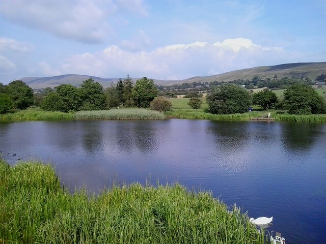
Barrow Clough is renowned for its natural beauty, with a meandering stream flowing through the valley, adding to its charm. The surrounding countryside is dotted with vibrant wildflowers, creating a vibrant tapestry of colors during the spring and summer months. The valley is also home to a diverse range of wildlife, including various bird species, mammals, and plant life.

There are several walking trails and footpaths that wind through Barrow Clough, allowing visitors to explore its enchanting scenery at their own pace. These trails offer breathtaking views of the valley, providing ample opportunities for photography and nature observation.

The area surrounding Barrow Clough is steeped in history, with several ancient landmarks and archaeological sites nearby. Visitors can explore the remnants of old settlements, stone circles, and burial mounds, gaining insight into the rich cultural heritage of the region.

Barrow Clough offers a serene and idyllic setting for those seeking respite from the fast-paced urban life. Whether it is a leisurely stroll, a picnic by the stream, or simply immersing oneself in the natural beauty, this valley in Lancashire is a true gem waiting to be discovered.

If you have any feedback on the listing, please let us know in the comments section below.

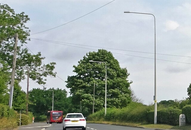
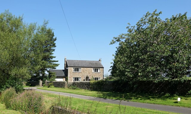
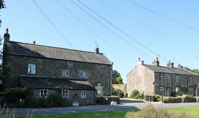
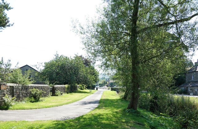
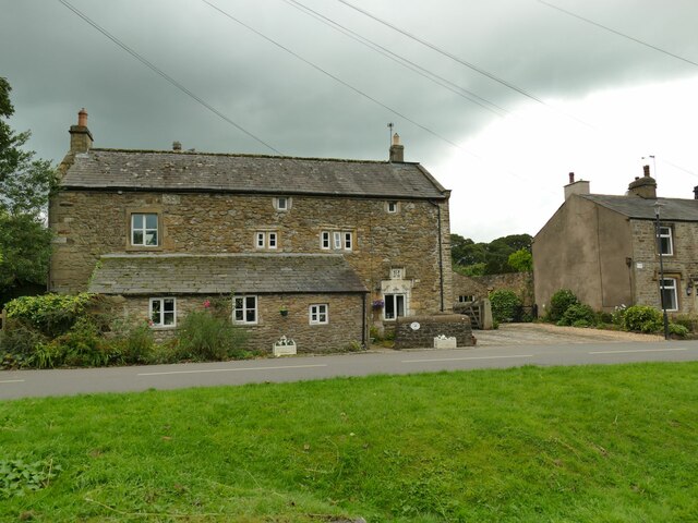
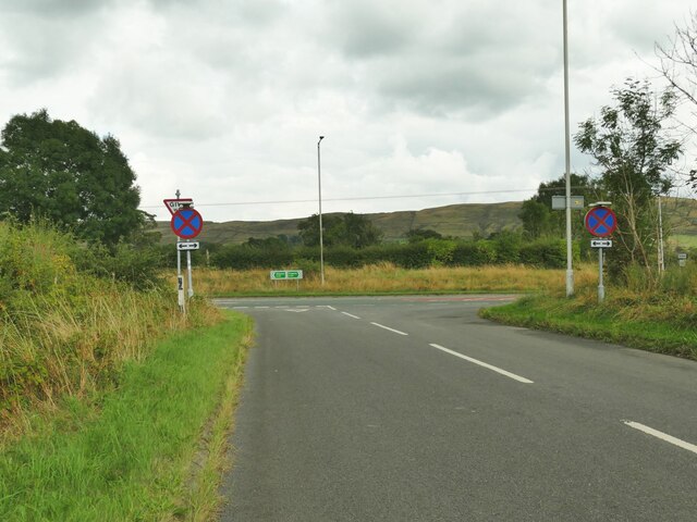
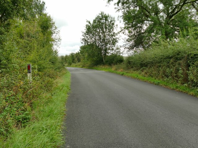
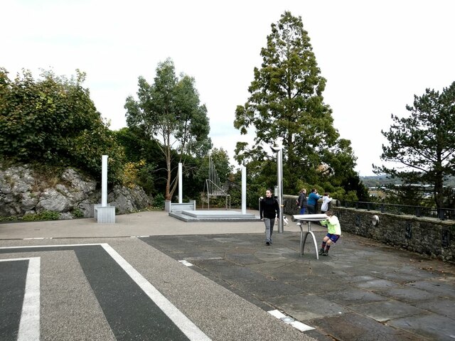
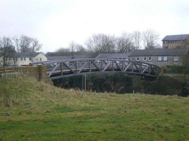
Barrow Clough Images

Images are sourced within 2km of 53.85579/-2.4037478 or Grid Reference SD7340. Thanks to Geograph Open Source API. All images are credited.

Fields near the A59
Fields near the A59
McDonald's on the Ribble Valley Enterprise Park near Clitheroe
Road Junction The junction of A59 and A671.
Road Junction
The junction of A59 and A671.
Whalley Road at Barrow
Whalley Road Two miles to Clitheroe.
Whalley Road
Two miles to Clitheroe.
Bracken Dene A house in Pendleton.
Bracken Dene
A house in Pendleton.
Bulcocks farmhouse A grade II listed building in Pendleton. A datestone suggests that it was built in  1693.
Bulcocks farmhouse
A grade II listed building in Pendleton. A datestone suggests that it was built in 1693.
Pendleton village The village was mentioned in the Domesday (Doomsday) Book with the name Peniltune.
Pendleton village
The village was mentioned in the Domesday (Doomsday) Book with the name Peniltune.
Bulcocks Farm, Pendleton  The farmhouse, one of several around the village, dates from 1693 and is grade II listed (list entry 1165197).
Bulcocks Farm, Pendleton
The farmhouse, one of several around the village, dates from 1693 and is grade II listed (list entry 1165197).
Road junction on the A59 outside Clitheroe A minor road leading to Pendleton has been realigned to form a pair of T-junctions with the bypass.
Road junction on the A59 outside Clitheroe
A minor road leading to Pendleton has been realigned to form a pair of T-junctions with the bypass.
Road towards the A59 outside Clitheroe A minor road leading to Pendleton, which used to run straight at this point but was realigned from the bend seen here to form a pair of T-junctions with the bypass.
Road towards the A59 outside Clitheroe
A minor road leading to Pendleton, which used to run straight at this point but was realigned from the bend seen here to form a pair of T-junctions with the bypass.
Barrow Fish Pond View towards Pendle Hill from the fish pond by the A59 in Barrow
Barrow Fish Pond
View towards Pendle Hill from the fish pond by the A59 in Barrow
Old Milestone by Whalley Road, Wiswell parish Carved stone post by the UC road (was A59), in parish of WISWELL (RIBBLE VALLEY District), North of Barrow, opposite Garden Centre, on verge in front of semi-detached houses, on East side of road. Whalley stone, erected by the Clitheroe to Blackburn & Mellor Brook turnpike trust in the 19th century. 

Inscription reads:-
: 2 / MILES / TO / WHALLEY/ - / WISWELL / - : : 2 / MILES / TO / CLITHEROE / - / WISWELL / - : 

Milestone Society National ID: LA_CLWH02.
Old Milestone by Whalley Road, Wiswell parish
Carved stone post by the UC road (was A59), in parish of WISWELL (RIBBLE VALLEY District), North of Barrow, opposite Garden Centre, on verge in front of semi-detached houses, on East side of road. Whalley stone, erected by the Clitheroe to Blackburn & Mellor Brook turnpike trust in the 19th century. Inscription reads:- : 2 / MILES / TO / WHALLEY/ - / WISWELL / - : : 2 / MILES / TO / CLITHEROE / - / WISWELL / - : Milestone Society National ID: LA_CLWH02.
Bowland Brewery bus One of the attractions at the Holmes Mill retail development.
Bowland Brewery bus
One of the attractions at the Holmes Mill retail development.
Bowland Food Hall Part of the Holmes Mill retail development.
Bowland Food Hall
Part of the Holmes Mill retail development.
Inside the Bowland Food Hall Part of the Holmes Mill retail development.
Inside the Bowland Food Hall
Part of the Holmes Mill retail development.
The "Pinnacle" in Clitheroe Castle Park A panel close by describes how the monument was bought by Sir William Brass (MP for Clitheroe from 1922 to 1945) and transported from the Palace of Westminster, of which it was originally part, to Clitheroe Castle grounds to commemorate the Coronation of George VI in 1937. Other commemorative plaques have subsequently been added to the base. The Pinnacle underwent major restoration in 2014-2016.
The "Pinnacle" in Clitheroe Castle Park
A panel close by describes how the monument was bought by Sir William Brass (MP for Clitheroe from 1922 to 1945) and transported from the Palace of Westminster, of which it was originally part, to Clitheroe Castle grounds to commemorate the Coronation of George VI in 1937. Other commemorative plaques have subsequently been added to the base. The Pinnacle underwent major restoration in 2014-2016.
Creative Activity Space, Clitheroe Castle Some intriguing acoustic equipment installed in 2009 just below the Castle Keep.
Creative Activity Space, Clitheroe Castle
Some intriguing acoustic equipment installed in 2009 just below the Castle Keep.
Show me another place!

Barrow Clough is located at Grid Ref: SD7340 (Lat: 53.85579, Lng: -2.4037478)

Administrative County: Lancashire

District: Ribble Valley

Police Authority: Lancashire

What 3 Words

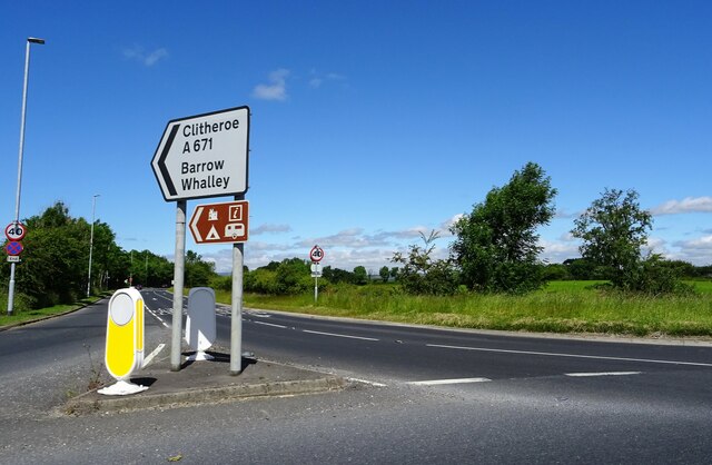
///senior.shrub.remotest. Near Clitheroe, Lancashire

Related Wikis

Pendleton Brook

Pendleton Brook is a small river in Lancashire. The brook rises on Pendleton Moor and flows through the village of Pendleton, travelling north west to...

Ribblesdale High School

Ribblesdale High School is a coeducational secondary school located in Clitheroe in the English county of Lancashire.It is a Community school administered...

Low Moor, Lancashire

Low Moor is a hamlet which is part of the town of Clitheroe, located in Lancashire, England. It is situated two miles southwest of Clitheroe proper. It...
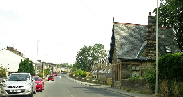
Barrow, Lancashire

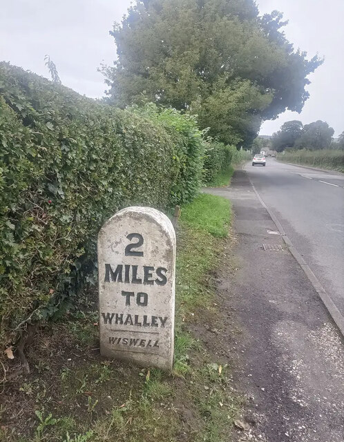
Barrow is a village and civil parish in the Ribble Valley district in Lancashire, England, situated between Whalley and Clitheroe and bypassed by the A59...

Edisford Bridge

Edisford Bridge (or Eadsford) is a toll-free, nine-span bridge over the River Ribble near Clitheroe, Lancashire, England. A Grade II listed structure and...

North West Sound Archive

The North West Sound Archive, founded in Manchester in 1979, was the largest archive of sound recordings in the UK outside of London, with over 140,000...

Bashall Brook

Bashall Brook is a minor river in Lancashire, England. It is 7.09 miles (11.41 km) long and has a catchment area of 6.86 square miles (1,777.68 ha).The...

Limy Water

The Limy Water is a minor river in Lancashire, England. It is 4.95 miles (7.96 km) long and has a catchment area of 7.71 square miles (1,996.33 ha).The...

Nearby Amenities

Located within 500m of 53.85579,-2.4037478
Telephone
Booth: KX200
Covered: booth
Lat/Long: 53.8536037/-2.3971188
Barrier: stile
Lat/Long: 53.8540861/-2.4069705
Barrier: stile
Lat/Long: 53.8575064/-2.4006834
Barrier: stile
Lat/Long: 53.8579272/-2.4027111
Power: pole
Lat/Long: 53.8535218/-2.4088973
Power: pole
Lat/Long: 53.8552794/-2.4084011
Power: pole
Lat/Long: 53.8570529/-2.407921
Power: pole
Lat/Long: 53.8581919/-2.408393
Ford: yes
Lat/Long: 53.8571369/-2.4103608
Bus Stop
Limehouse Farm
Naptan AtcoCode: 2500IMG2351
Naptan NaptanCode: langatgw
Public Transport: platform
Lat/Long: 53.8536392/-2.3970882
The data included in this document is from www.openstreetmap.org. The data is made available under ODbL.

Have you been to Barrow Clough?

Leave your review of Barrow Clough below (or comments, questions and feedback).