Holwell Valley
Valley in Somerset Mendip
England
Holwell Valley

Holwell Valley is a picturesque and tranquil valley located in the county of Somerset, England. Situated in the Mendip Hills Area of Outstanding Natural Beauty, this valley offers breathtaking views of rolling hills, lush green meadows, and charming rural landscapes.
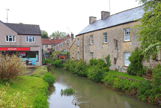
The valley is home to a small community of approximately 200 residents, mainly consisting of farmers and those seeking a peaceful countryside lifestyle. The village of Holwell serves as the main settlement in the valley, with its quaint stone cottages and historic buildings adding to the area's charm.
The valley is crisscrossed by a network of public footpaths and bridleways, making it a haven for outdoor enthusiasts. Hikers, cyclists, and horse riders can explore the valley's idyllic surroundings and discover its hidden gems, including ancient woodlands, babbling brooks, and wildflower meadows. The valley is also a popular spot for bird watching, with a diverse range of species inhabiting the area.
Although small in size, Holwell Valley boasts a strong sense of community and hosts regular events and activities for its residents. The valley has a local pub, The Green Man, where locals and visitors can enjoy a drink and traditional pub food.
Overall, Holwell Valley offers a peaceful and picturesque retreat from the hustle and bustle of city life. Its natural beauty, community spirit, and outdoor recreational opportunities make it a truly special place to visit or call home.
If you have any feedback on the listing, please let us know in the comments section below.
Holwell Valley Images
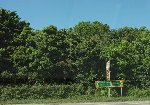
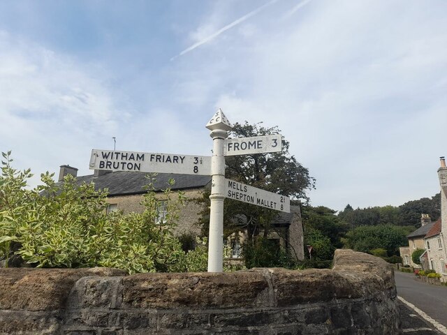
Images are sourced within 2km of 51.205994/-2.3855192 or Grid Reference ST7345. Thanks to Geograph Open Source API. All images are credited.


Holwell Valley is located at Grid Ref: ST7345 (Lat: 51.205994, Lng: -2.3855192)
Administrative County: Somerset
District: Mendip
Police Authority: Avon and Somerset
What 3 Words
///garlic.often.slugs. Near Frome, Somerset
Related Wikis

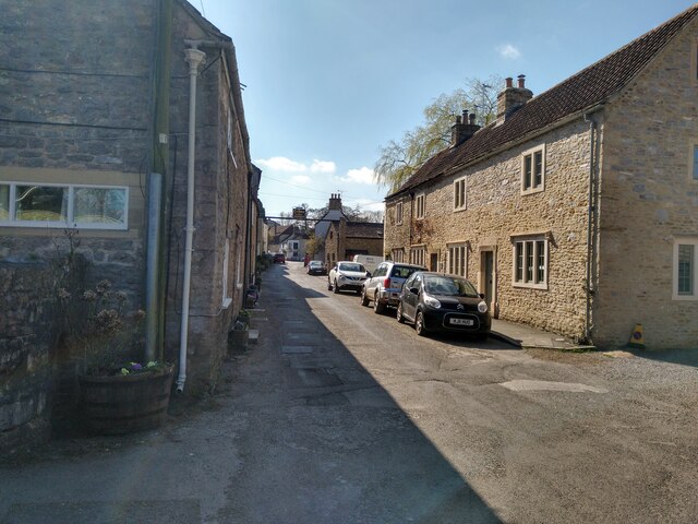
Nunney
Nunney is a village and civil parish in the English county of Somerset. It is located 3 miles (5 km) south-west of Frome and the parish includes the hamlet...

Colemans Quarry
Colemans Quarry, grid reference ST726452 is a limestone quarry at Holwell, near Nunney on the Mendip Hills, Somerset, England. The Colemans Quarry complex...
Holwell Quarries
Holwell Quarries (grid reference ST726450) is a 1.3-hectare (3.2-acre) geological Site of Special Scientific Interest at Holwell near Nunney on the Mendip...
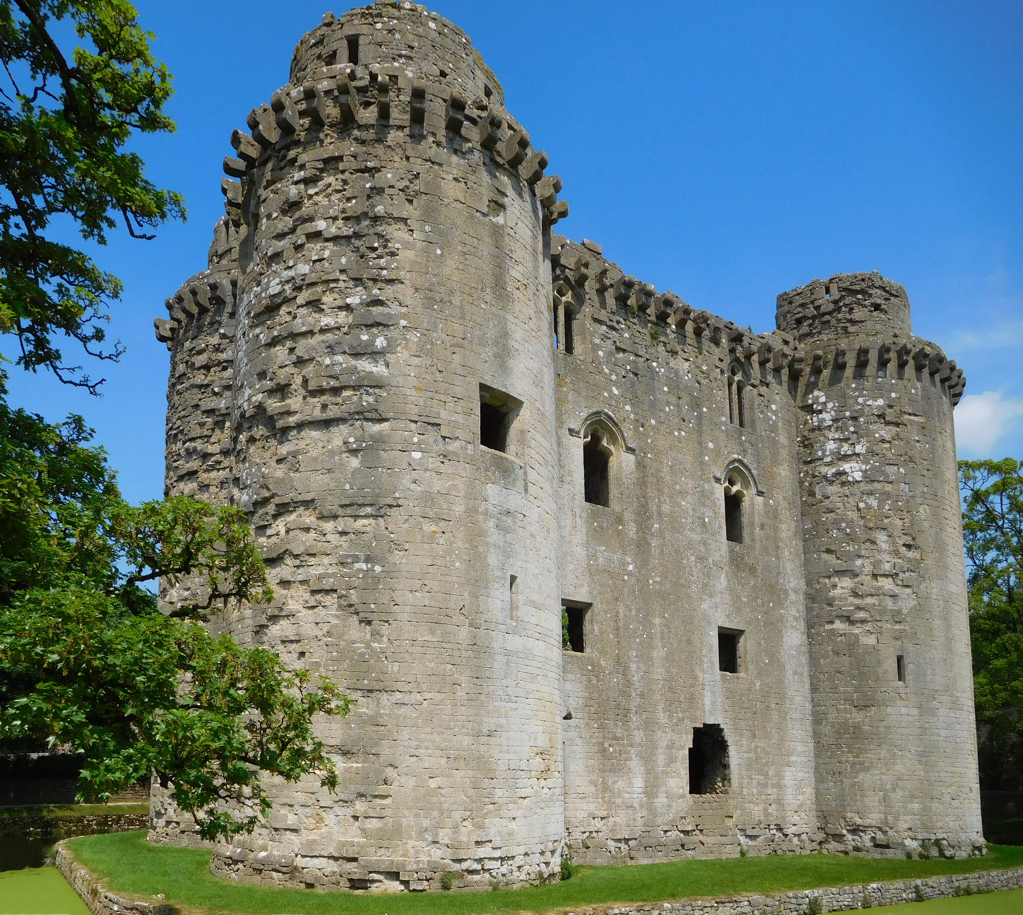
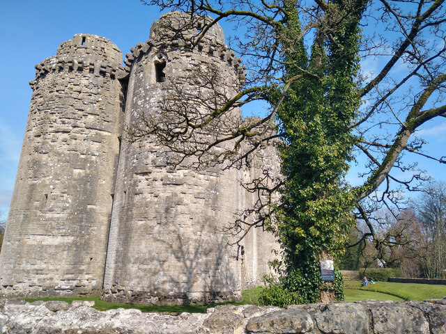
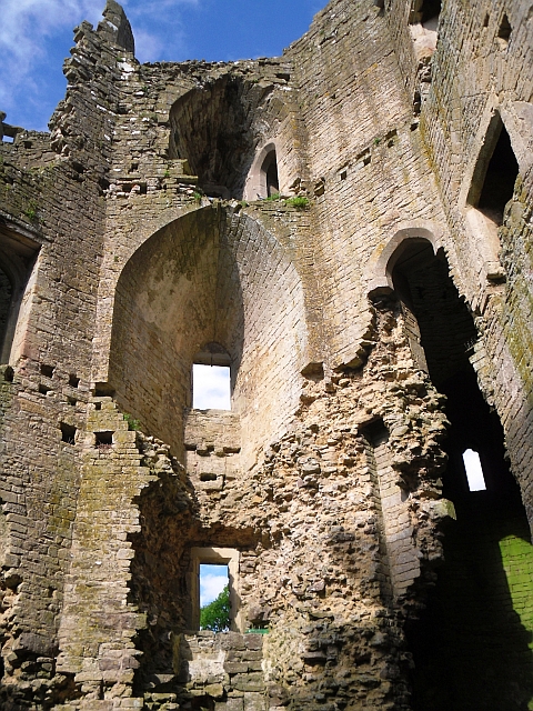
Nunney Castle
Nunney Castle is a medieval castle at Nunney in the English county of Somerset. Built in the late 14th century by Sir John Delamare on the profits of his...

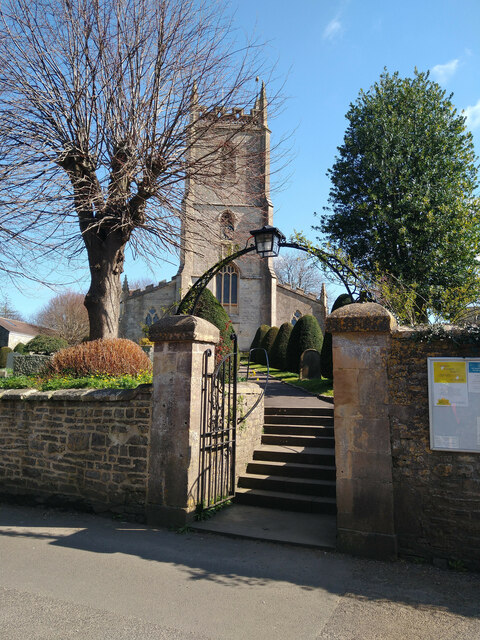
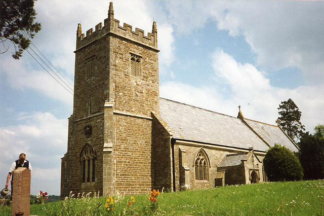
Church of All Saints, Nunney
The Church of All Saints at Nunney, Somerset, England, is a Grade I listed building dating from the 12th century.It was probably built on the site of an...
Church of St Mary, Cloford
The Church of St Mary in Cloford, Wanstrow, Somerset, England was built in the 15th century. It is a Grade II* listed building. == History == The church...

Cloford Quarry
Cloford Quarry (grid reference ST718444) is a 39.92-hectare (98.6-acre) geological Site of Special Scientific Interest to the south of the A361 approximately...

Trudoxhill
Trudoxhill is a village and civil parish near Nunney in Somerset, England. == History == The name Trudoxhill comes from the Old English treow meaning tree...
Nearby Amenities
Located within 500m of 51.205994,-2.3855192Have you been to Holwell Valley?
Leave your review of Holwell Valley below (or comments, questions and feedback).