Holwell

Settlement in Somerset Mendip

England

Holwell

Old Milestone, A361, Marston Road, north of Trudoxhill The milestone is located on the grass verge on the south side of the road. Parish of Trudoxhill (Mendip District). Metal plate attached to stone post, Old Bruton iron plate design, erected by the Bruton turnpike trust in the 19th century.

Inscription reads:-
TO
BRUTON
8

Somerset HER.
HER number: 18204 Link 

Milestone Society National ID: SO_BNFR08
Old Milestone, A361, Marston Road, north of Trudoxhill Credit: Janet Dowding

Holwell is a small village located in the county of Somerset, England. Situated approximately 7 miles south of Shepton Mallet and 10 miles north of Yeovil, it is nestled amidst the picturesque countryside of the Mendip Hills. The village is part of the Mendip district and falls within the civil parish of Stoke Trister.

With a population of around 300 residents, Holwell exudes a charming and peaceful atmosphere. The village is predominantly residential, featuring a mix of traditional stone cottages and more modern homes. The local community is tight-knit, with a strong sense of camaraderie and a friendly atmosphere.

The village boasts a beautiful church, dedicated to Saint Lawrence, which dates back to the 12th century. This historic landmark is known for its stunning architecture, including a notable 15th-century tower. The church also serves as a focal point for social gatherings and community events.

Despite its small size, Holwell benefits from its close proximity to larger towns, offering residents easy access to a range of amenities. The nearby towns of Shepton Mallet and Yeovil provide a variety of shops, supermarkets, schools, and healthcare facilities.

Holwell is surrounded by breathtaking countryside, offering residents and visitors ample opportunities for outdoor activities such as walking, cycling, and horse riding. The village enjoys a peaceful and idyllic setting, with rolling hills, lush green fields, and picturesque landscapes.

In summary, Holwell is a tranquil and welcoming village in Somerset, known for its tight-knit community, historic church, and stunning countryside.

If you have any feedback on the listing, please let us know in the comments section below.
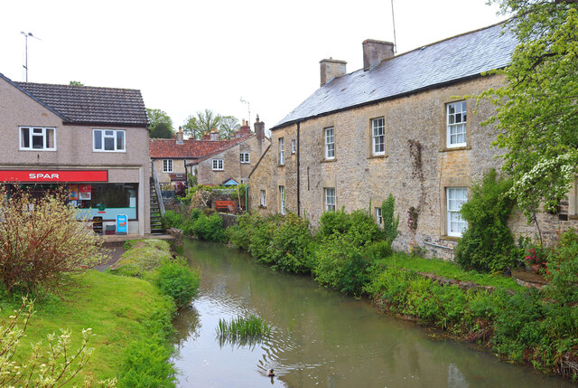
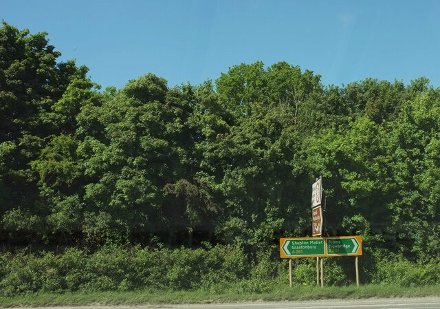
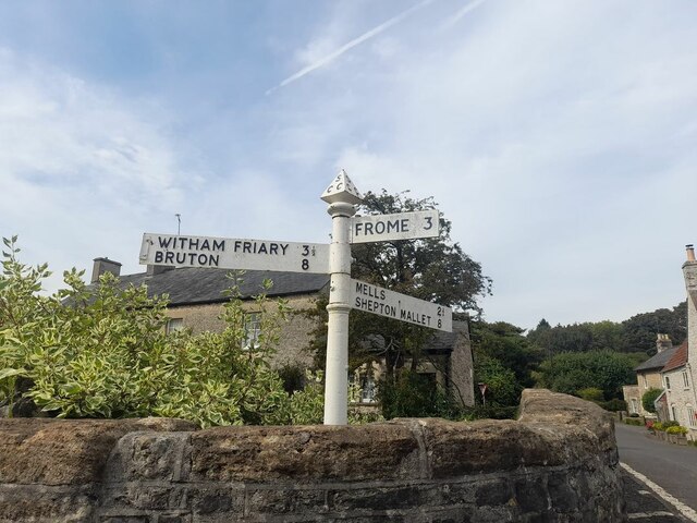
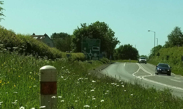
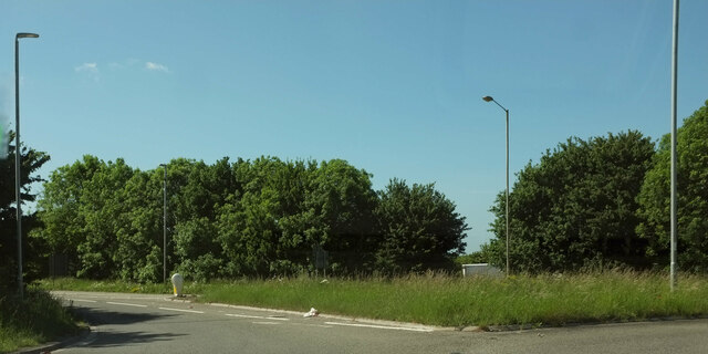
Holwell Images

Images are sourced within 2km of 51.204412/-2.38788 or Grid Reference ST7345. Thanks to Geograph Open Source API. All images are credited.

Old Milestone, A361, Marston Road, north of Trudoxhill The milestone is located on the grass verge on the south side of the road. Parish of Trudoxhill (Mendip District). Metal plate attached to stone post, Old Bruton iron plate design, erected by the Bruton turnpike trust in the 19th century.

Inscription reads:-
TO
BRUTON
8

Somerset HER.
HER number: 18204 Link 

Milestone Society National ID: SO_BNFR08
Old Milestone, A361, Marston Road, north of Trudoxhill
The milestone is located on the grass verge on the south side of the road. Parish of Trudoxhill (Mendip District). Metal plate attached to stone post, Old Bruton iron plate design, erected by the Bruton turnpike trust in the 19th century. Inscription reads:- TO BRUTON 8 Somerset HER. HER number: 18204 Link Milestone Society National ID: SO_BNFR08
Nunney Castle <span class="nowrap"><a title="https://historicengland.org.uk/listing/the-list/list-entry/1014716?section=official-listing" rel="nofollow ugc noopener" href="https://historicengland.org.uk/listing/the-list/list-entry/1014716?section=official-listing">Link</a><img style="margin-left:2px;" alt="External link" title="External link - shift click to open in new window" src="https://s1.geograph.org.uk/img/external.png" width="10" height="10"/></span>
Nunney Castle
Nunney Brook Brook and buildings in Nunney.
Nunney Brook
Brook and buildings in Nunney.
Nunney Castle View from the south
Nunney Castle
View from the south
Marston Road, Nunney At the junction of the road from Trudoxhill with the A361 Marston Road. The brown sign pointing towards the camera advertises "Trudoxhill Macmillan Way" and both OS maps and the LWDA map show the Way crossing the main road at this junction. But I can't see any route for it on the other side of this junction, nor any waymark. Surely it should follow the lane shown in <a href="https://www.geograph.org.uk/photo/4068831">ST7444 : Disused road, near Nunney Catch</a> which passes safely beneath the main road? However, no waymarking is visible on Streetview where this lane leaves the road from Trudoxhill.
Marston Road, Nunney
At the junction of the road from Trudoxhill with the A361 Marston Road. The brown sign pointing towards the camera advertises "Trudoxhill Macmillan Way" and both OS maps and the LWDA map show the Way crossing the main road at this junction. But I can't see any route for it on the other side of this junction, nor any waymark. Surely it should follow the lane shown in ST7444 : Disused road, near Nunney Catch which passes safely beneath the main road? However, no waymarking is visible on Streetview where this lane leaves the road from Trudoxhill.
Direction Sign – Signpost by the bridge in Nunney Located beside the bridge on the west side of the junction of Castle Hill, Church Street and High Street in Nunney parish. 3 arms and pyramid finial. See also <a title="https://www.geograph.org.uk/photo/6043241" href="https://www.geograph.org.uk/photo/6043241">Link</a>.

Milestone Society National ID: SO_ST7345
Direction Sign – Signpost by the bridge in Nunney
Located beside the bridge on the west side of the junction of Castle Hill, Church Street and High Street in Nunney parish. 3 arms and pyramid finial. See also Link. Milestone Society National ID: SO_ST7345
A361 approaching Nunney Catch Looking left from <a href="https://www.geograph.org.uk/photo/7189486">ST7444 : Marston Road, Nunney</a> along Marston Road; the Nunney Catch roundabout can be glimpsed ahead. On the left is Braeside Farm.
A361 approaching Nunney Catch
Looking left from ST7444 : Marston Road, Nunney along Marston Road; the Nunney Catch roundabout can be glimpsed ahead. On the left is Braeside Farm.
Splitter island, Nunney Catch Roundabout Turning left away from the roundabout is the A361 to Shepton Mallet. I'd have thought there should be a roadsign on the island confirming thus.
Splitter island, Nunney Catch Roundabout
Turning left away from the roundabout is the A361 to Shepton Mallet. I'd have thought there should be a roadsign on the island confirming thus.
Mast on hill east of Postlebury Farm By the looks of it, a mobile phone mast.
Mast on hill east of Postlebury Farm
By the looks of it, a mobile phone mast.
Puddles on the track, east of Postlebury Farm Just northeast of <a href="https://www.geograph.org.uk/photo/7698526">ST7343 : Mast on hill east of Postlebury Farm</a>.
Puddles on the track, east of Postlebury Farm
Unnamed village street, Trudoxhill
Former St Laurence Church Now appears to be a private residence.
Former St Laurence Church
Now appears to be a private residence.
The Business Courtyard, Pyle Farm A variety of small businesses in former farm buildings at Pyle Farm.
The Business Courtyard, Pyle Farm
A variety of small businesses in former farm buildings at Pyle Farm.
Pedestrian underpass beneath the A361 at Nunney Catch Providing safe, if somewhat leafy, passage beneath the busy road.
Pedestrian underpass beneath the A361 at Nunney Catch
Providing safe, if somewhat leafy, passage beneath the busy road.
Bridleway on former road to Ridgeway Historic OS mapping show this as the main road from Nunney Catch to Frome, now bypassed by the A361 150m to the south.
Bridleway on former road to Ridgeway
Historic OS mapping show this as the main road from Nunney Catch to Frome, now bypassed by the A361 150m to the south.
Sloping field at Nunney Catch
Road junction at Nunney Catch The lanes to the left and behind the photographer have all been truncated or demoted due to the construction of the A361. The road to the right descends towards Nunney village.
Road junction at Nunney Catch
The lanes to the left and behind the photographer have all been truncated or demoted due to the construction of the A361. The road to the right descends towards Nunney village.
Farm buildings above Ridgeway Lane Mostly a large dairy shed, with the cows currently indoors.
Farm buildings above Ridgeway Lane
Mostly a large dairy shed, with the cows currently indoors.
Show me another place!

Holwell is located at Grid Ref: ST7345 (Lat: 51.204412, Lng: -2.38788)

Administrative County: Somerset

District: Mendip

Police Authority: Avon and Somerset

What 3 Words

///boating.dentistry.backswing. Near Frome, Somerset

Related Wikis

Holwell Quarries

Holwell Quarries (grid reference ST726450) is a 1.3-hectare (3.2-acre) geological Site of Special Scientific Interest at Holwell near Nunney on the Mendip...

Colemans Quarry

Colemans Quarry, grid reference ST726452 is a limestone quarry at Holwell, near Nunney on the Mendip Hills, Somerset, England. The Colemans Quarry complex...

Nunney

Nunney is a village and civil parish in the English county of Somerset. It is located 3 miles (5 km) south-west of Frome and the parish includes the hamlet...
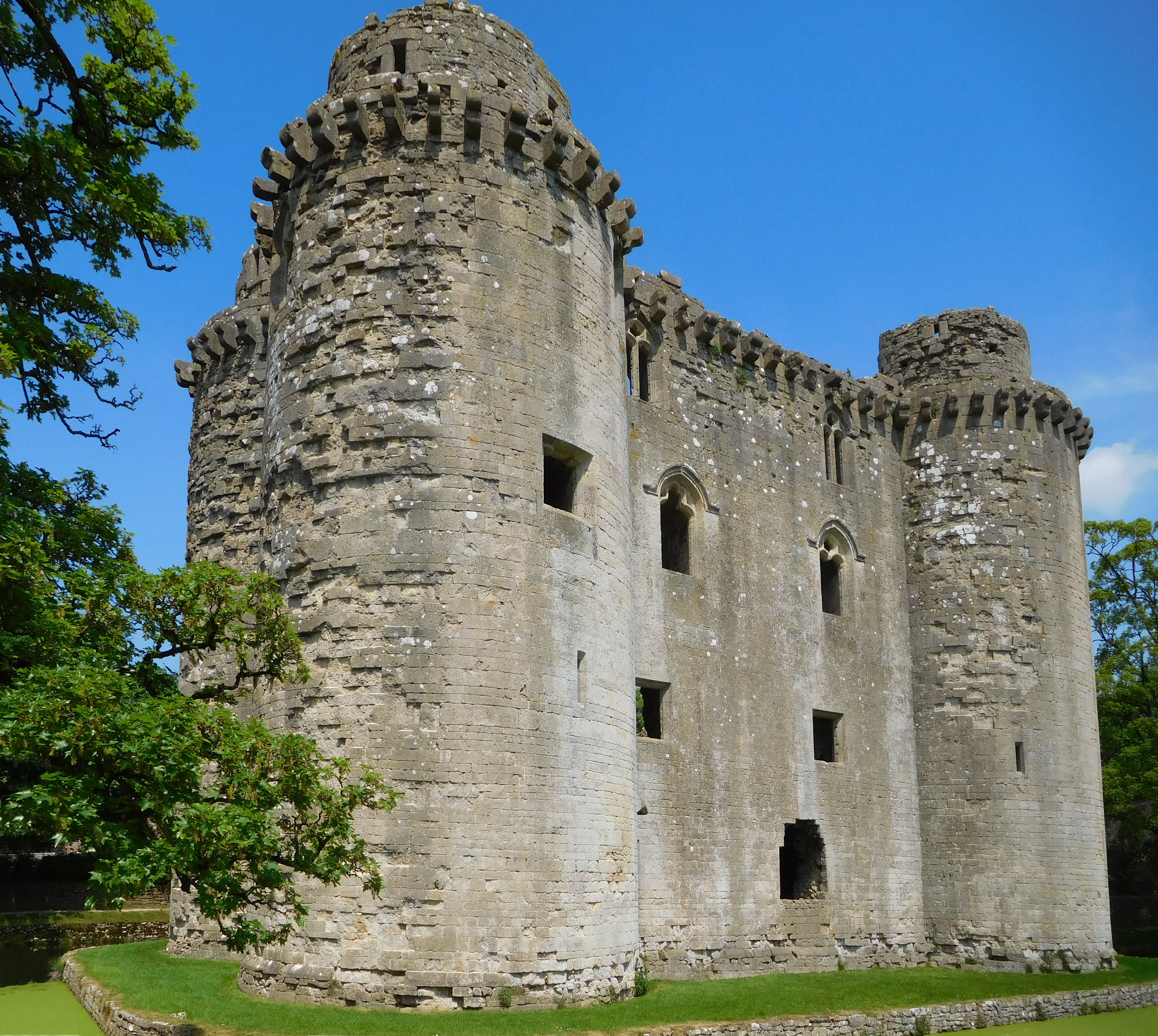
Nunney Castle

Nunney Castle is a medieval castle at Nunney in the English county of Somerset. Built in the late 14th century by Sir John Delamare on the profits of his...

Nearby Amenities

Located within 500m of 51.204412,-2.38788
Pub
Bear Inn
Lat/Long: 51.2037948/-2.3901927
Holwell
Place: hamlet
Lat/Long: 51.2034136/-2.3902485
Power: pole
Lat/Long: 51.2012502/-2.3917794
The data included in this document is from www.openstreetmap.org. The data is made available under ODbL.

Have you been to Holwell?

Leave your review of Holwell below (or comments, questions and feedback).