Railford Bottom

Valley in Somerset Mendip

England

Railford Bottom

Lower Whatley Isolated dwelling at Lower Whatley.
Lower Whatley Credit: Wayland Smith

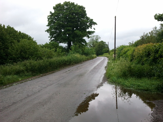
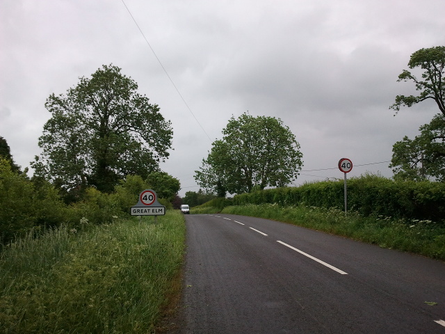
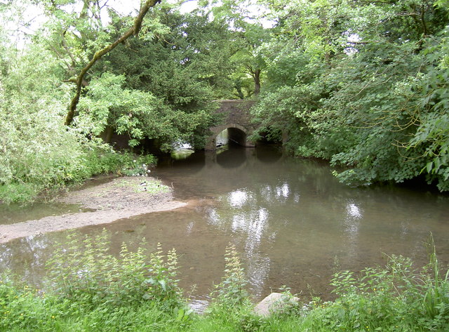
Railford Bottom is a picturesque valley nestled in the heart of Somerset, England. Located near the village of Railford, this idyllic valley is known for its stunning natural beauty and tranquil surroundings. The valley is situated between two rolling hills, providing a sense of seclusion and privacy for those who visit.

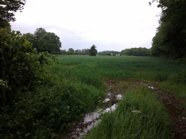
The landscape of Railford Bottom is characterized by lush green meadows, dotted with vibrant wildflowers during the summer months. The valley is crisscrossed by a meandering river, which adds to its charm and provides a serene atmosphere. The river is home to a variety of wildlife, including ducks, swans, and fish, making it a popular spot for nature enthusiasts.

Visitors to Railford Bottom can enjoy a range of activities in this peaceful setting. Walking trails wind their way through the valley, offering stunning views of the surrounding countryside. The valley is also a popular spot for picnics, with several designated areas for visitors to relax and enjoy the scenery.

Railford Bottom is a haven for birdwatchers, with a diverse range of bird species calling the valley home. It is not uncommon to spot colorful kingfishers or majestic herons along the riverbanks. The valley also provides an ideal habitat for small mammals such as rabbits and foxes.

Overall, Railford Bottom is a hidden gem in Somerset, offering a peaceful retreat for those seeking a break from the hustle and bustle of everyday life. Its natural beauty and abundant wildlife make it a must-visit destination for nature lovers and outdoor enthusiasts alike.

If you have any feedback on the listing, please let us know in the comments section below.

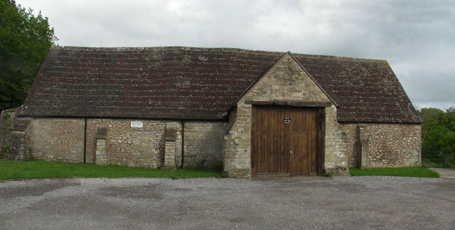
Railford Bottom Images

Images are sourced within 2km of 51.22777/-2.3889664 or Grid Reference ST7247. Thanks to Geograph Open Source API. All images are credited.

Lower Whatley Isolated dwelling at Lower Whatley.
Lower Whatley
Isolated dwelling at Lower Whatley.
Whatley Church Church at Whatley.
Whatley Church
Church at Whatley.
Old Milestone West of Whatley Crossroads The Milestone is located on grass verge and hedge on the South of the road.  Parish of Whatley (Mendip District). Metal plate attached to stone post, Frome square iron plate design, erected by the Frome turnpike trust in the 18th Century. An earlier photograph can be found here: <a title="https://www.geograph.org.uk/photo/6051504" href="https://www.geograph.org.uk/photo/6051504">Link</a> 

Inscription reads:-  
FROME / 3 / WELLS / 12 

Grade II listed. List Entry Number: 1295398 <span class="nowrap"><a title="https://historicengland.org.uk/listing/the-list/list-entry/1295398" rel="nofollow ugc noopener" href="https://historicengland.org.uk/listing/the-list/list-entry/1295398">Link</a><img style="margin-left:2px;" alt="External link" title="External link - shift click to open in new window" src="https://s1.geograph.org.uk/img/external.png" width="10" height="10"/></span> 

Milestone Society National ID: SO_FRWL03
Old Milestone West of Whatley Crossroads
The Milestone is located on grass verge and hedge on the South of the road.  Parish of Whatley (Mendip District). Metal plate attached to stone post, Frome square iron plate design, erected by the Frome turnpike trust in the 18th Century. An earlier photograph can be found here: Link  Inscription reads:- FROME / 3 / WELLS / 12 Grade II listed. List Entry Number: 1295398 LinkExternal link Milestone Society National ID: SO_FRWL03
Cottages in Selwood Street
Lockup, Gay Street, Mells Built in the 17C.
Lockup, Gay Street, Mells
Built in the 17C.
Finger Farm yard
Finger Farm yard
Road to Mells at Finger Farm
A wet field entrance
Houses in Mells
Houses in Mells
Approaching Great Elm from the west
Mells church benchmark A cutmark, as listed in the Benchmark Database: <span class="nowrap"><a title="http://www.bench-marks.org.uk/bm44827" rel="nofollow ugc noopener" href="http://www.bench-marks.org.uk/bm44827">Link</a><img style="margin-left:2px;" alt="External link" title="External link - shift click to open in new window" src="https://s1.geograph.org.uk/img/external.png" width="10" height="10"/></span> , on the base of the tower of St Andrew's church. See <a href="https://www.geograph.org.uk/photo/4022338">ST7249 : St Andrew's tower</a> for a wider view.
Mells church benchmark
A cutmark, as listed in the Benchmark Database: LinkExternal link , on the base of the tower of St Andrew's church. See ST7249 : St Andrew's tower for a wider view.
St Andrew's tower The base of the church tower, with a benchmark on its base. See <a href="https://www.geograph.org.uk/photo/4022335">ST7249 : Mells church benchmark</a>.
St Andrew's tower
The base of the church tower, with a benchmark on its base. See ST7249 : Mells church benchmark.
Mells pumping station Located by the Mells Stream in Top Lane, this is station 14108. It was built by Frome R.D.C. in 1958.
Mells pumping station
Located by the Mells Stream in Top Lane, this is station 14108. It was built by Frome R.D.C. in 1958.
Bridge over Woodlands End The Mells Stream relaxes here for a short while before carrying on towards Great Elm and then Frome.
Bridge over Woodlands End
The Mells Stream relaxes here for a short while before carrying on towards Great Elm and then Frome.
Mells war memorial This fine memorial was designed by Lutyens and Gill in about 1920 and features a central Tuscan column. It also has a thought-provoking inscription:

'We died in a strange land, facing the dark cloud of war,
and this stone is raised to us in the home of our delight.'

See <a href="https://www.geograph.org.uk/photo/4048219">ST7249 : St Michael atop the column</a> for a closer look at the figure on the column.
Mells war memorial
This fine memorial was designed by Lutyens and Gill in about 1920 and features a central Tuscan column. It also has a thought-provoking inscription: 'We died in a strange land, facing the dark cloud of war, and this stone is raised to us in the home of our delight.' See ST7249 : St Michael atop the column for a closer look at the figure on the column.
St Michael atop the column The figure looking down on the Mells war memorial is said to be that of St Michael, and is based on the one in Henry VII’s chapel in Westminster Abbey.
St Michael atop the column
The figure looking down on the Mells war memorial is said to be that of St Michael, and is based on the one in Henry VII’s chapel in Westminster Abbey.
Many a good tune Perhaps a little of Tchaikovsky's Nutcracker would be appropriate? Scene in a commercial garden in Mells.
Many a good tune
Perhaps a little of Tchaikovsky's Nutcracker would be appropriate? Scene in a commercial garden in Mells.
Branching out A dead creeping specimen on a short wall of St Andrew's church graveyard, forming a rather evocative tree outline.
Branching out
A dead creeping specimen on a short wall of St Andrew's church graveyard, forming a rather evocative tree outline.
Show me another place!

Railford Bottom is located at Grid Ref: ST7247 (Lat: 51.22777, Lng: -2.3889664)

Administrative County: Somerset

District: Mendip

Police Authority: Avon and Somerset

What 3 Words

///eruptions.bars.likes. Near Frome, Somerset

Nearby Locations

Railford Bottom

Related Wikis

Whatley Quarry

Whatley Quarry, grid reference ST731479 is a limestone quarry owned by Hanson plc, near the village of Whatley on the Mendip Hills, Somerset, England....

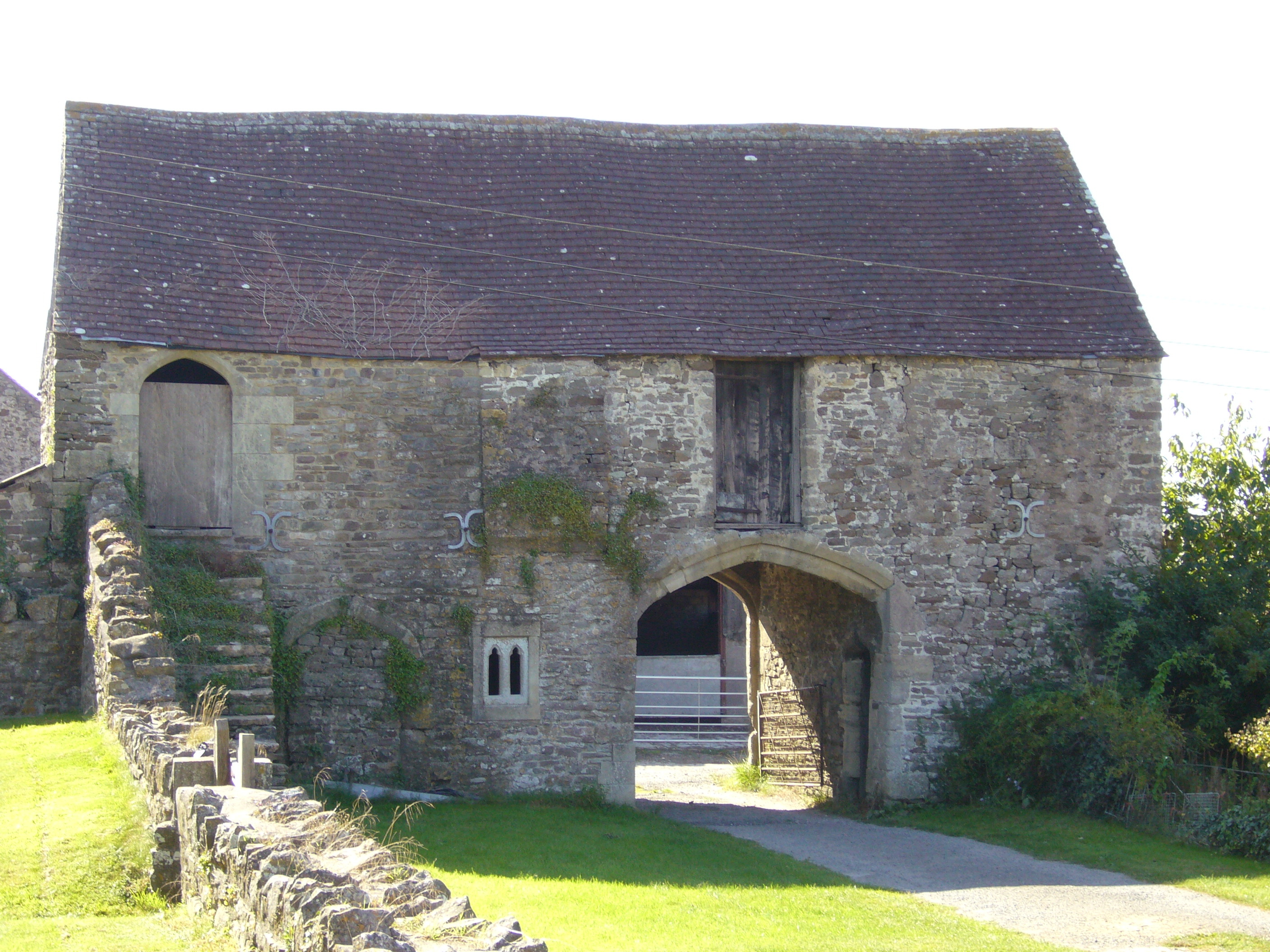
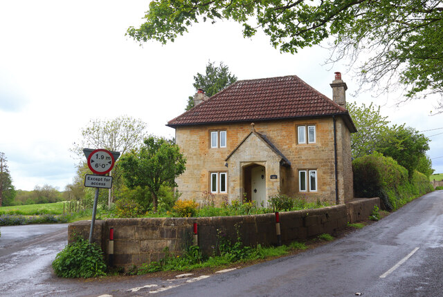
Manor Farmhouse Gatehouse, Whatley

The Manor Farmhouse Gatehouse in Whatley, Somerset, England, was built around 1500 and has been designated as a Grade I listed building.The two-storey...

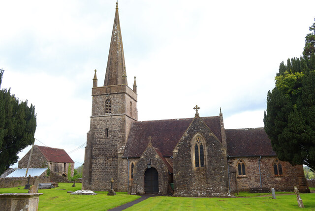
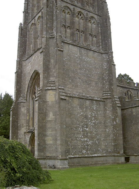
Church of St George, Whatley

The Anglican Church of St George in Whatley, within the English county of Somerset, dates from the 14th century. It is a Grade II* listed building.Parts...
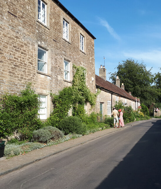
Whatley, Mendip

Whatley is a small rural village and civil parish about 2.5 miles (4 km) west of Frome in the English county of Somerset. The parish lies south of Mells...

Mells, Somerset

Mells is a village and civil parish in Somerset, England, near the town of Frome. == Vobster == The parish includes the village of Vobster, which had a...

Old Iron Works, Mells

Old Iron Works, Mells (Fussells' Lower Works) (grid reference ST738488) is a 0.25 hectare biological Site of Special Scientific Interest, in the Wadbury...

Mells Village Hall

Mells Village Hall in Mells, Somerset, England was built in the 14th century as a tithe barn and now serves as the village hall. It is a Grade II* listed...
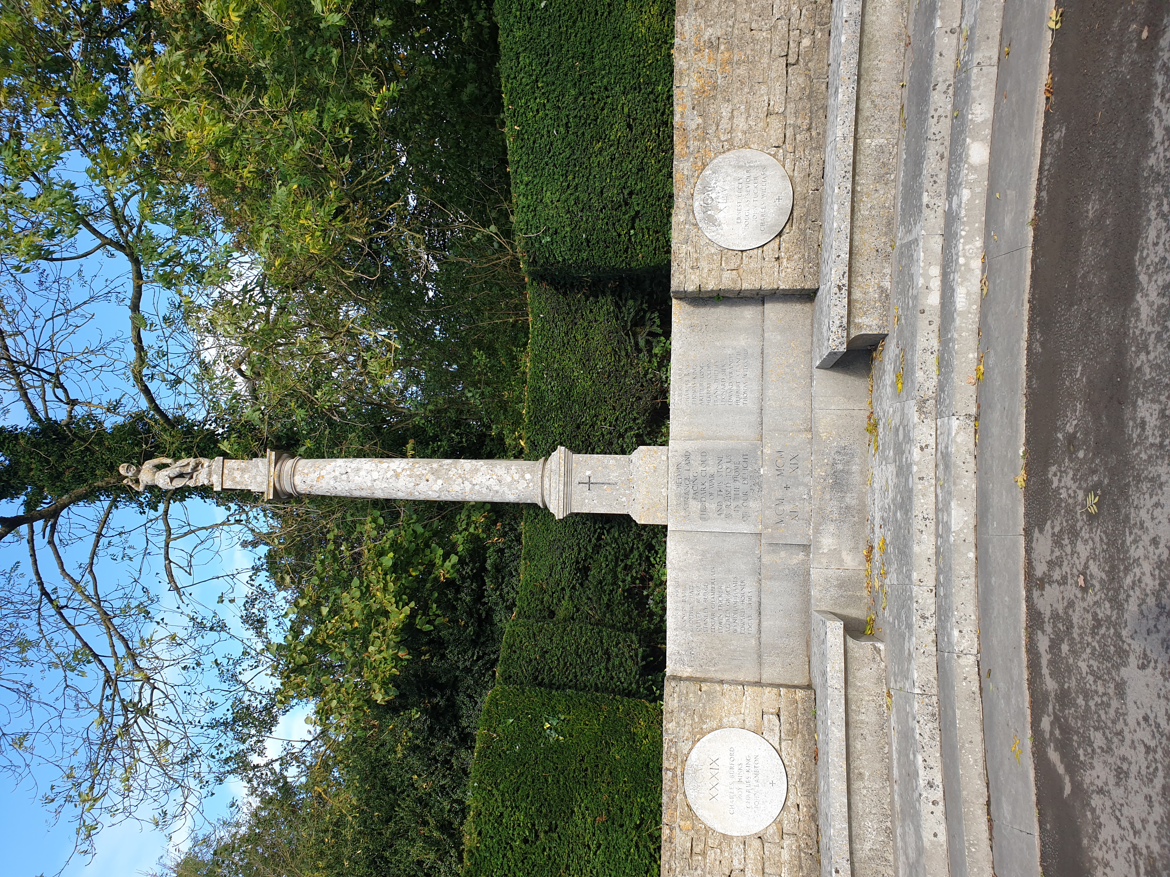
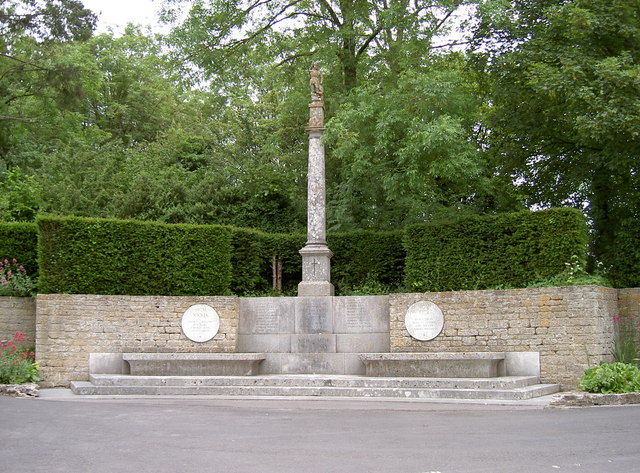
Mells War Memorial

Mells War Memorial is a First World War memorial by Sir Edwin Lutyens in the village of Mells in the Mendip Hills of Somerset, south-western England. Unveiled...

Nearby Amenities

Located within 500m of 51.22777,-2.3889664
Railway: switch
Lat/Long: 51.2298378/-2.3868392
Railway: switch
Lat/Long: 51.2296267/-2.3889451
Railway: switch
Lat/Long: 51.2295682/-2.3896117
Railway: switch
Lat/Long: 51.2276298/-2.3959498
Power: pole
Lat/Long: 51.2293436/-2.3857123
Power: pole
Lat/Long: 51.2289741/-2.3882067
Power: pole
Lat/Long: 51.2293352/-2.3865277
Railway: switch
Lat/Long: 51.2275252/-2.3957516
Railway: switch
Lat/Long: 51.2294801/-2.3894409
Railway: switch
Lat/Long: 51.2274204/-2.3961139
Railway: switch
Lat/Long: 51.2298238/-2.3870641
Railway: buffer_stop
Lat/Long: 51.2295792/-2.3840539
Railway: switch
Lat/Long: 51.2300472/-2.3829656
Railway: switch
Lat/Long: 51.2297841/-2.3833931
Railway: buffer_stop
Lat/Long: 51.2295399/-2.3840108
Railway: switch
Lat/Long: 51.229897/-2.3831052
Railway: buffer_stop
Lat/Long: 51.2298778/-2.3835701
Railway: switch
Lat/Long: 51.2298156/-2.3878245
Railway: switch
Lat/Long: 51.229892/-2.3858008
Railway: switch
Lat/Long: 51.2298895/-2.3841821
Railway: switch
Lat/Long: 51.2300255/-2.3833425
Railway: switch
Lat/Long: 51.2298416/-2.3850699
Bus Stop
Summerfield Farm
Bus: yes
Naptan AtcoCode: 3600SOB21670
Naptan Bearing: S
Naptan CommonName: Summerfield Farm
Naptan Indicator: S-bound
Naptan NaptanCode: sotdjpwd
Naptan Street: unnamed rd to Frome
Naptan Verified: no
Public Transport: platform
Lat/Long: 51.2259374/-2.3829538
Bus Stop
Summerfield Farm
Bus: yes
Naptan AtcoCode: 3600SOB21669
Naptan Bearing: S
Naptan CommonName: Summerfield
Naptan Indicator: S-bound
Naptan NaptanCode: sotdjpwg
Naptan Street: Railford Hill
Naptan Verified: no
Public Transport: platform
Lat/Long: 51.2259335/-2.3833604
The data included in this document is from www.openstreetmap.org. The data is made available under ODbL.

Have you been to Railford Bottom?

Leave your review of Railford Bottom below (or comments, questions and feedback).