Brodies Den

Valley in Aberdeenshire

Scotland

Brodies Den

Turriff Golf Club, 14th Hole, Mill The fourteenth hole at Turriff, looking to the green.
Turriff Golf Club, 14th Hole, Mill Credit: Scott Cormie

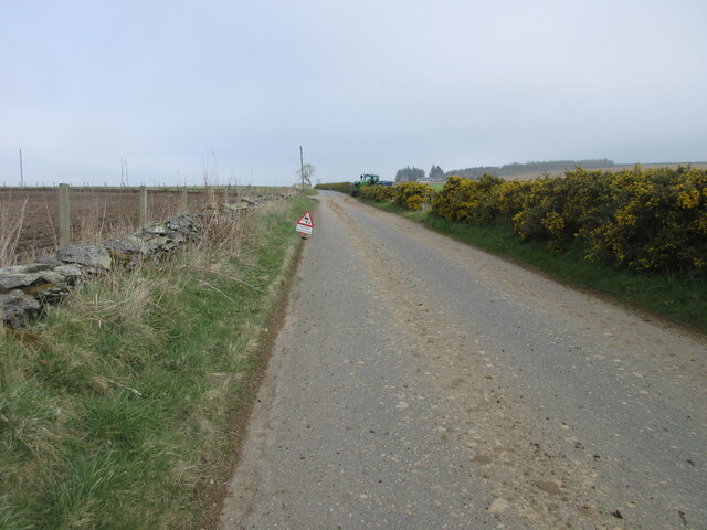
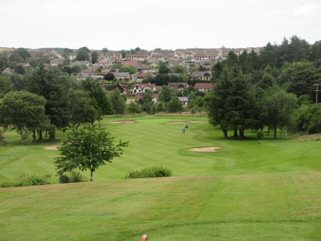
Brodies Den is a picturesque valley located in Aberdeenshire, Scotland. Nestled between rolling hills and dense woodlands, this hidden gem offers a tranquil escape from the hustle and bustle of city life.

The valley is named after the Brodie family, who were prominent landowners in the area. It is a popular destination for nature lovers and outdoor enthusiasts due to its stunning natural beauty and abundance of wildlife. The den is home to a diverse range of plant and animal species, including red squirrels, roe deer, and a variety of birdlife.

Visitors can explore the valley along its well-maintained walking trails, which wind their way through ancient woodlands and alongside babbling streams. The dense foliage provides a sense of seclusion and tranquility, making it an ideal spot for those seeking solitude and a connection with nature.

One of the highlights of Brodies Den is the picturesque waterfall that cascades down the rocks, creating a mesmerizing sight and a soothing soundtrack. The area is also dotted with several picnic spots, allowing visitors to relax and enjoy a meal amidst the serene surroundings.

Brodies Den is not only a haven for nature enthusiasts but also for history buffs. The valley is steeped in rich folklore and is believed to have been a hiding place for outlaws and Jacobites during turbulent times. Exploring the area provides a glimpse into the region's past and its connection to Scottish heritage.

Overall, Brodies Den offers a serene and enchanting experience for visitors, with its stunning landscapes, diverse wildlife, and historical significance. It is a place where one can truly immerse themselves in the beauty of nature and find solace in its peaceful embrace.

If you have any feedback on the listing, please let us know in the comments section below.
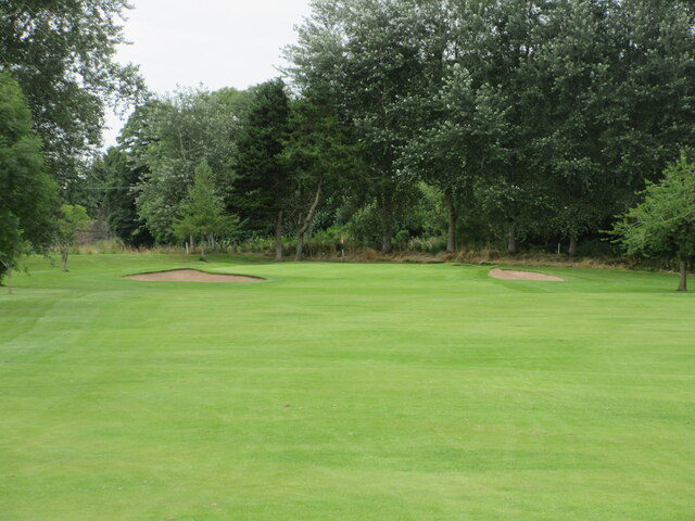
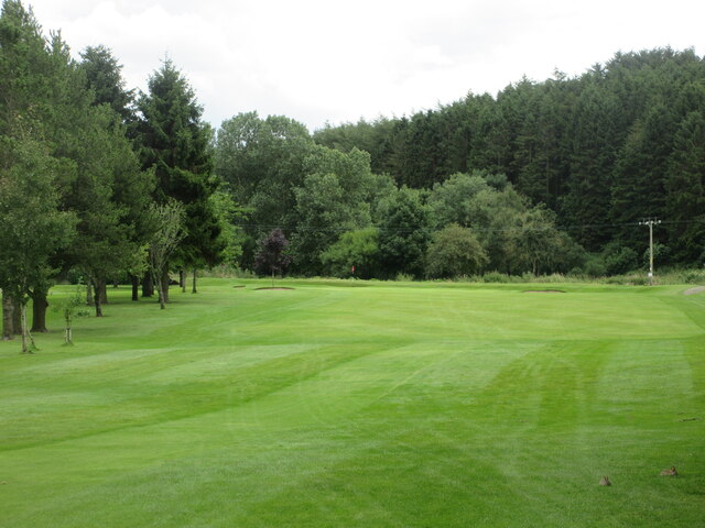
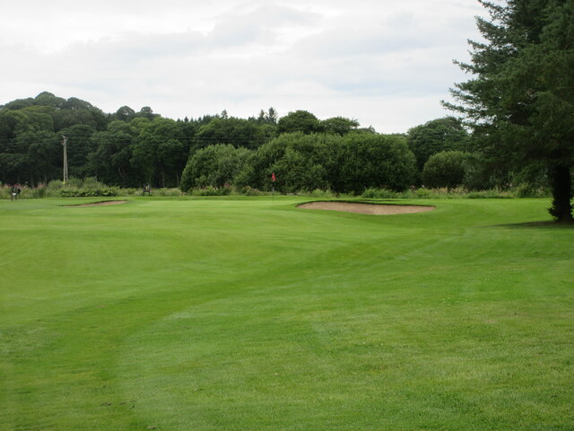
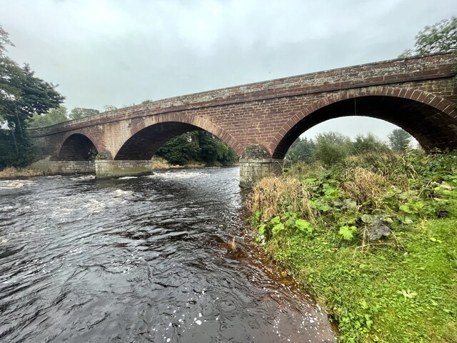
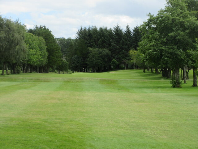
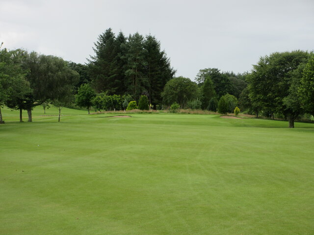
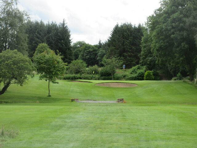
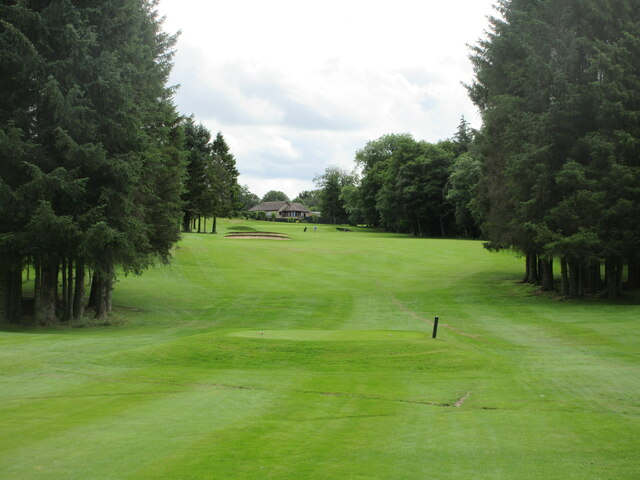
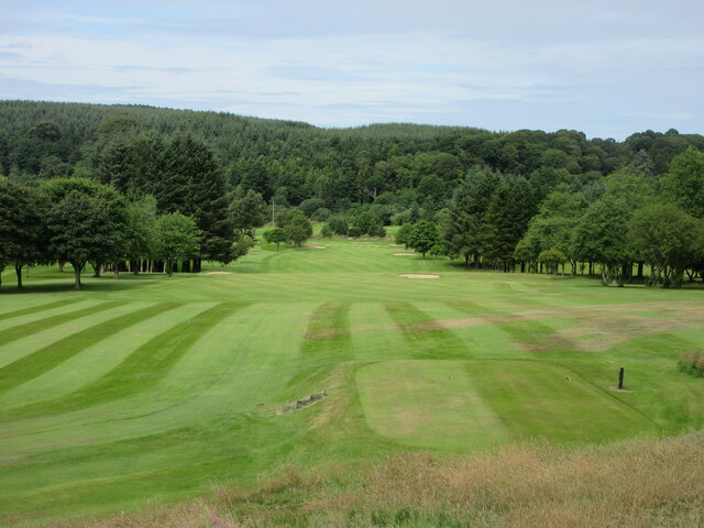
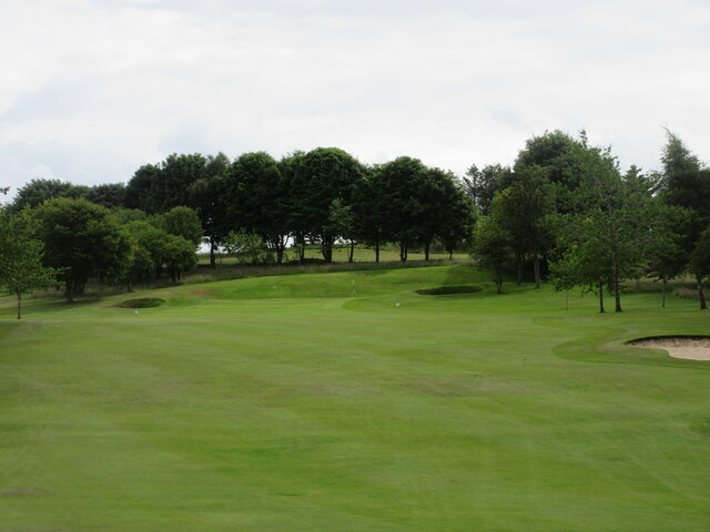
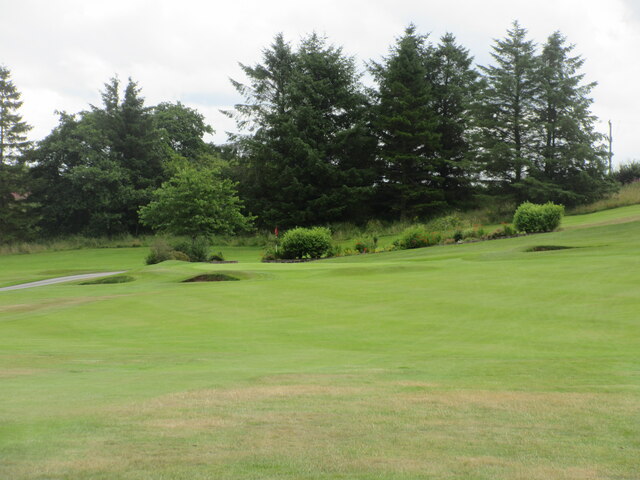
Brodies Den Images

Images are sourced within 2km of 57.53566/-2.4537055 or Grid Reference NJ7249. Thanks to Geograph Open Source API. All images are credited.

Turriff Golf Club, 14th Hole, Mill The fourteenth hole at Turriff, looking to the green.
Turriff Golf Club, 14th Hole, Mill
The fourteenth hole at Turriff, looking to the green.
Turriff Golf Club, 15th Hole, Burn The short fifteenth hole at Turriff from tee to green.
Turriff Golf Club, 15th Hole, Burn
The short fifteenth hole at Turriff from tee to green.
Turriff Golf Club, 16th Hole, Island The sixteenth hole at Turriff, looking to the green.
Turriff Golf Club, 16th Hole, Island
The sixteenth hole at Turriff, looking to the green.
Deveron Bridge The bridge over the river Deveron to the west of Turriff seen from the river side.
Deveron Bridge
The bridge over the river Deveron to the west of Turriff seen from the river side.
Dry mud on the C5S (Aberdeenshire) Road Mud on the road with farming taking place near Claymires to the north of Turriff.
Dry mud on the C5S (Aberdeenshire) Road
Mud on the road with farming taking place near Claymires to the north of Turriff.
Turriff Primary School Looking south-west to Turriff Primary School on the northern outskirts of the town.
Turriff Primary School
Looking south-west to Turriff Primary School on the northern outskirts of the town.
Market Street, Turriff Looking south down Market Street in Turriff.
Market Street, Turriff
Looking south down Market Street in Turriff.
Markethill Trig Pillar The triangulation pillar hidden away on the north side of a water treatment compound at Markethill on the north-east outskirts of Turriff.
Markethill Trig Pillar
The triangulation pillar hidden away on the north side of a water treatment compound at Markethill on the north-east outskirts of Turriff.
Deveron Bridge
Deveron Bridge
Turriff Golf Club, 1st Hole, Turra The opening hole at Turriff, from tee to green.
Turriff Golf Club, 1st Hole, Turra
The opening hole at Turriff, from tee to green.
Turriff Golf Club, 2nd Hole, Deveron The second hole at Turriff, looking to the green.
Turriff Golf Club, 2nd Hole, Deveron
The second hole at Turriff, looking to the green.
Turriff Golf Club, 4th Hole, Wee Devil The short fourth hole at Turriff, looking uphill from the tee to the green.
Turriff Golf Club, 4th Hole, Wee Devil
The short fourth hole at Turriff, looking uphill from the tee to the green.
Turriff Golf Club, 5th Hole, Rosehall The fifth hole at Turriff, looking up the hill from the tee.
Turriff Golf Club, 5th Hole, Rosehall
The fifth hole at Turriff, looking up the hill from the tee.
Turriff Golf Club, 6th Hole, Doonhill The long sixth hole at Turriff, looking down the hill from the tee.
Turriff Golf Club, 6th Hole, Doonhill
The long sixth hole at Turriff, looking down the hill from the tee.
Turriff Golf Club, 9th Hole, Ridge The ninth hole at Turriff, looking up the hill to the green.
Turriff Golf Club, 9th Hole, Ridge
The ninth hole at Turriff, looking up the hill to the green.
Turriff Golf Club, 10th Hole, Road The short tenth hole at Turriff, looking uphill from the tee to the green.
Turriff Golf Club, 10th Hole, Road
The short tenth hole at Turriff, looking uphill from the tee to the green.
Turriff Golf Club, 11th Hole, Kinnermit The eleventh hole at Turriff, looking down to the green from the tee on the highest point on the course, with the town in the background.
Turriff Golf Club, 11th Hole, Kinnermit
The eleventh hole at Turriff, looking down to the green from the tee on the highest point on the course, with the town in the background.
Turriff Golf Club, 12th Hole, Railway The long twelfth hole at Turriff, looking to the green.
Turriff Golf Club, 12th Hole, Railway
The long twelfth hole at Turriff, looking to the green.
Show me another place!

Brodies Den is located at Grid Ref: NJ7249 (Lat: 57.53566, Lng: -2.4537055)

Unitary Authority: Aberdeenshire

Police Authority: North East

What 3 Words

///clown.alleyway.reporter. Near Turriff, Aberdeenshire

Related Wikis

Turriff Cottage Hospital

Turriff Cottage Hospital is a community hospital in Turriff, Aberdeenshire, Scotland. It is managed by NHS Grampian. == History == The hospital was designed...

Turriff Academy

Turriff Academy is a non denominational comprehensive co-educational secondary school located in Turriff, Aberdeenshire, Scotland. It serves a large catchment...

Turriff railway station

Turriff railway station was a railway station in Turriff, Aberdeenshire, Scotland. It was opened in 1857 by the Banff Macduff & Turriff Junction Railway...

Turriff

Turriff (from Scottish Gaelic Torraibh 'place of round hills') is a town and civil parish in Aberdeenshire in Scotland. It lies on the River Deveron,...

Turriff United F.C.

Turriff United Football Club are a senior football club currently playing in the Highland Football League in Scotland. They play their matches at The Haughs...
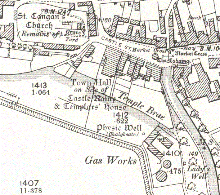
Turriff Castle

Turriff Castle was a tower house, on Castlegate, Turriff, north of Idoch Water, Aberdeenshire, Scotland. The castle was also called Tower of Torrey of...
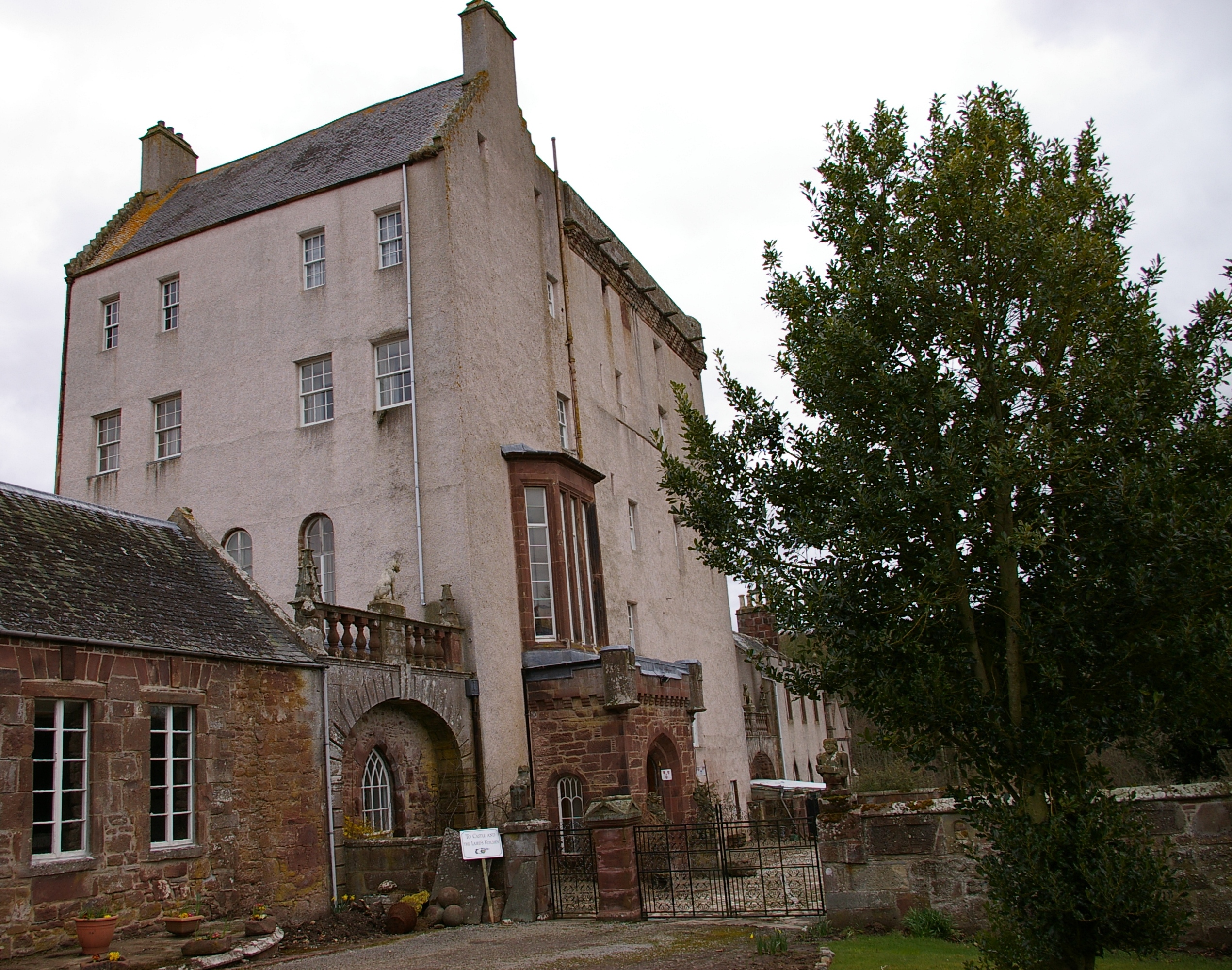
Delgatie Castle

Delgatie Castle is a castle near Turriff, in Aberdeenshire, Scotland. A castle has stood on the site of Delgatie Castle since the year 1030 AD, although...

Dorlaithers Castle

Dorlaithers Castle was a castle about 2.5 miles (4.0 km) south-west of Turriff, Aberdeenshire, Scotland at Dorlaithers, south of the burn of Gask. It may...

Nearby Amenities

Located within 500m of 57.53566,-2.4537055
Coo Corner
Junction: yes
Lat/Long: 57.5373178/-2.4602556
Post Box
Postal Code: AB53
Ref: AB53 14
Source: survey
Lat/Long: 57.5375606/-2.4577104
The Turra Coo
Artwork Type: sculpture
Tourism: artwork
Wikidata: Q7856208
Wikipedia: en:Turra Coo
Lat/Long: 57.5373608/-2.4605823
Atm
Lat/Long: 57.5373934/-2.4597506
Pharmacy
Strachan Pharmacy
Dispensing: yes
Lat/Long: 57.5382478/-2.4604091
Pharmacy
Boots Pharmacy
Brand Wikidata: Q6123139
Dispensing: yes
Opening Hours: Mo-Fr 08:45-17:30; Sa 08:45-17:00
Website: https://www.boots.com/stores/1658-turriff-high-street-ab53-4ds
Lat/Long: 57.5371566/-2.4604601
Leisure: picnic_table
Lat/Long: 57.5339603/-2.4604668
Leisure: picnic_table
Lat/Long: 57.5339898/-2.4598834
Leisure: picnic_table
Lat/Long: 57.5341828/-2.4596514
Leisure: picnic_table
Lat/Long: 57.534254/-2.4594489
Autocare Turriff Ltd
Phone: +441888563306
Shop: car_parts
Website: https://www.autocareturriff.com/
Lat/Long: 57.5366332/-2.4597265
Fred Watt Optician
Shop: optician
Lat/Long: 57.5372437/-2.4598418
Kean Bookie
Shop: bookmaker
Lat/Long: 57.5372689/-2.4596165
L.J. Beedies Hardware
Shop: houseware
Lat/Long: 57.5372969/-2.4593134
Veterinary
Deveron Veterinary Surgeons
Lat/Long: 57.5376691/-2.4574895
Restaurant
Moon Light Tandori
Cuisine: indian
Lat/Long: 57.5376885/-2.4569812
Angie's Gents Hairdresser
Male: yes
Shop: hairdresser
Lat/Long: 57.5375928/-2.4564193
Davidsons of Turriff
Shop: car
Lat/Long: 57.537952/-2.4564649
Outreach Christian Trust
Lat/Long: 57.5378649/-2.455781
Celebrations of Turriff
Addr Housenumber: 15
Addr Street: Main Street
Phone: +441888563361
Shop: department_store
Toilets Wheelchair: yes
Website: https://www.celebrationsofturriff.co.uk/
Wheelchair: yes
Lat/Long: 57.5379268/-2.460267
Information: board
Tourism: information
Lat/Long: 57.5349707/-2.4537552
Information: board
Tourism: information
Lat/Long: 57.5348076/-2.4598893
Nickel & Dime
Addr City: Turriff
Addr Housenumber: 14-18
Addr Postcode: AB53 4AD
Addr Street: Main Street
Phone: +441888569056
Shop: hardware
Lat/Long: 57.5379642/-2.4607122
Dentist
Turriff Dental Care
Addr City: Turriff
Addr Housenumber: 6
Addr Postcode: AB53 4DS
Addr Street: High Street
Contact Facebook: https://www.facebook.com/people/Turriff-Dental-Care/100063961243111/
Contact Twitter: https://twitter.com/turriff_dental
Healthcare: dentist
Opening Hours: Mo,Tu 08:00-17:00; We,Th 08:00-19:00; Fr 08:00-13:00; Sa,Su off
Phone: +44 1888 562440
Website: https://www.turriffdentalcare.co.uk/
Lat/Long: 57.5371566/-2.4608678
Ncn Milepost: mccoll
Sustrans Ref: MP936
Lat/Long: 57.5363604/-2.4604813
Bus Stop
Crown Street
Bus: yes
Naptan AtcoCode: 630022431
Naptan Bearing: W
Naptan CommonName: Crown Street
Naptan Indicator: at
Naptan NaptanCode: 23624784
Naptan Street: Banff Road
Naptan Verified: no
Public Transport: platform
Shelter: yes
Source: naptan;bing;naptan_compare_tool
Lat/Long: 57.5398133/-2.4553753
Restaurant
Milanos
Addr City: Turriff
Addr Country: GB
Addr Housenumber: 4
Addr Postcode: AB53 4AD
Addr Street: Main Street
Cuisine: italian
Fhrs Id: 79936
Lat/Long: 57.5375158/-2.4604237
Barrier: bollard
Lat/Long: 57.5378439/-2.4604769
Barrier: bollard
Lat/Long: 57.5378801/-2.4604912
Barrier: bollard
Lat/Long: 57.5378791/-2.4603561
Atm
Lat/Long: 57.5377943/-2.4605306
Man Made: manhole
Manhole: drain
Lat/Long: 57.5367292/-2.4598276
Power: pole
Lat/Long: 57.5367652/-2.4599025
Power: pole
Lat/Long: 57.536916/-2.45996
Power: pole
Lat/Long: 57.5363485/-2.4597285
Power: pole
Lat/Long: 57.5362794/-2.4602968
Traffic Sign: yes
Lat/Long: 57.5367365/-2.4600696
Power: pole
Lat/Long: 57.5368676/-2.4607639
Power: pole
Lat/Long: 57.5368393/-2.4613301
Power: pole
Lat/Long: 57.5367843/-2.4617185
Traffic Sign: yes
Lat/Long: 57.5361112/-2.4620002
Traffic Sign: yes
Lat/Long: 57.5363642/-2.459646
Traffic Sign: yes
Lat/Long: 57.5363717/-2.4595755
Power: pole
Lat/Long: 57.5361135/-2.4596868
Power: pole
Lat/Long: 57.536423/-2.4589695
Barrier: bollard
Lat/Long: 57.5363805/-2.4585795
Barrier: bollard
Lat/Long: 57.5363812/-2.4585241
Barrier: bollard
Lat/Long: 57.5363936/-2.4584792
Power: pole
Lat/Long: 57.5365155/-2.458182
Barrier: bollard
Lat/Long: 57.5364695/-2.4577978
Barrier: bollard
Lat/Long: 57.5364644/-2.4578446
Barrier: bollard
Lat/Long: 57.5364604/-2.4578866
Barrier: bollard
Lat/Long: 57.5364572/-2.4579273
Barrier: bollard
Lat/Long: 57.5364524/-2.4579679
Noexit: yes
Lat/Long: 57.5365792/-2.4579443
Power: pole
Lat/Long: 57.5365674/-2.4576264
Traffic Sign: yes
Lat/Long: 57.5364859/-2.4575984
Power: pole
Lat/Long: 57.5366492/-2.4569249
Power: pole
Lat/Long: 57.5367322/-2.4561566
Power: pole
Lat/Long: 57.5368593/-2.4552124
Power: pole
Lat/Long: 57.5372225/-2.455448
Power: pole
Lat/Long: 57.5371845/-2.4561436
Bus Stop
The Auld Mill
Bus: yes
Naptan AtcoCode: 630022492
Naptan Bearing: NW
Naptan CommonName: The Auld Mill
Naptan Indicator: opp
Naptan NaptanCode: 23629253
Naptan Street: Station Road
Naptan Verified: no
Public Transport: platform
Shelter: yes
Source: naptan;bing;naptan_compare_tool
Lat/Long: 57.5321407/-2.4565517
Bus Stop
Queen's Road
Bench: no
Bin: no
Bus: yes
Lit: yes
Naptan AtcoCode: 630022471
Naptan Bearing: S
Naptan CommonName: Queen's Road
Naptan Indicator: S bound
Naptan NaptanCode: 23624758
Naptan Street: Queen's Road
Naptan Verified: no
Public Transport: platform
Shelter: no
Source: naptan;bing;naptan_compare_tool
Tactile Paving: no
Lat/Long: 57.5352723/-2.4618815
Noexit: yes
Lat/Long: 57.5381585/-2.4577547
Noexit: yes
Lat/Long: 57.5381324/-2.4578332
Cemetery: grave
Lat/Long: 57.5352057/-2.4490748
Cemetery: grave
Lat/Long: 57.5351028/-2.4489467
Cemetery: grave
Lat/Long: 57.5353879/-2.4480408
Cemetery: grave
Lat/Long: 57.5353868/-2.4480528
Cemetery: grave
Lat/Long: 57.5353785/-2.4480609
Cemetery: grave
Lat/Long: 57.5353814/-2.448087
Cemetery: grave
Lat/Long: 57.5353774/-2.4481112
Cemetery: grave
Lat/Long: 57.5357014/-2.4478409
Cemetery: grave
Lat/Long: 57.5356971/-2.4478269
Cemetery: grave
Lat/Long: 57.5356945/-2.4478054
Cemetery: grave
Lat/Long: 57.5356902/-2.4477772
Cemetery: grave
Lat/Long: 57.5356902/-2.4477558
Cemetery: grave
Lat/Long: 57.5356902/-2.447733
Cemetery: grave
Lat/Long: 57.5356873/-2.4476894
Cemetery: grave
Lat/Long: 57.5356783/-2.4476472
Cemetery: grave
Lat/Long: 57.5356783/-2.4476042
Cemetery: grave
Lat/Long: 57.5356744/-2.4475754
Cemetery: grave
Lat/Long: 57.5356729/-2.4475553
Cemetery: grave
Lat/Long: 57.5356675/-2.4475358
Cemetery: grave
Lat/Long: 57.5356668/-2.4475191
Cemetery: grave
Lat/Long: 57.535606/-2.4475358
Cemetery: grave
Lat/Long: 57.5356078/-2.4475674
Cemetery: grave
Lat/Long: 57.5356118/-2.4475881
Cemetery: grave
Lat/Long: 57.5356179/-2.4476505
Cemetery: grave
Lat/Long: 57.5356189/-2.4476586
Cemetery: grave
Lat/Long: 57.5356222/-2.4476746
Cemetery: grave
Lat/Long: 57.5356229/-2.4476934
Cemetery: grave
Lat/Long: 57.5356251/-2.4477243
Cemetery: grave
Lat/Long: 57.5356247/-2.4477384
Cemetery: grave
Lat/Long: 57.5356283/-2.4477611
Cemetery: grave
Lat/Long: 57.5356326/-2.4478007
Cemetery: grave
Lat/Long: 57.5356369/-2.4480428
Cemetery: grave
Lat/Long: 57.5356362/-2.4481004
Cemetery: grave
Lat/Long: 57.5356564/-2.4480978
Cemetery: grave
Lat/Long: 57.5356539/-2.4480555
Cemetery: grave
Lat/Long: 57.5356495/-2.448026
Cemetery: grave
Lat/Long: 57.5356492/-2.4480025
Cemetery: grave
Lat/Long: 57.5356485/-2.4479791
Cemetery: grave
Lat/Long: 57.5356413/-2.4479509
Cemetery: grave
Lat/Long: 57.5356413/-2.4479281
Cemetery: grave
Lat/Long: 57.5356391/-2.4479093
Cemetery: grave
Lat/Long: 57.5356377/-2.4478651
Cemetery: grave
Lat/Long: 57.5355632/-2.4478074
Cemetery: grave
Lat/Long: 57.5355408/-2.4478725
Cemetery: grave
Lat/Long: 57.5355315/-2.4479013
Cemetery: grave
Lat/Long: 57.5355228/-2.4479469
Cemetery: grave
Lat/Long: 57.5355171/-2.447971
Cemetery: grave
Lat/Long: 57.535489/-2.4481353
Cemetery: grave
Lat/Long: 57.5354915/-2.4481112
Cemetery: grave
Lat/Long: 57.5354948/-2.4480723
Cemetery: grave
Lat/Long: 57.5355013/-2.4480441
Cemetery: grave
Lat/Long: 57.5355495/-2.4481367
Cemetery: grave
Lat/Long: 57.5355542/-2.4481065
Cemetery: grave
Lat/Long: 57.5355646/-2.4480642
Cemetery: grave
Lat/Long: 57.5355689/-2.4480435
Cemetery: grave
Lat/Long: 57.5355696/-2.4480207
Cemetery: grave
Lat/Long: 57.5355876/-2.4479704
Cemetery: grave
Lat/Long: 57.5355941/-2.4479509
Cemetery: grave
Lat/Long: 57.5355999/-2.4479355
Cemetery: grave
Lat/Long: 57.5355135/-2.4477595
Cemetery: grave
Lat/Long: 57.5354977/-2.4477984
Cemetery: grave
Lat/Long: 57.5354905/-2.4478131
Cemetery: grave
Lat/Long: 57.5354852/-2.4478292
Cemetery: grave
Lat/Long: 57.5354798/-2.4478446
Cemetery: grave
Lat/Long: 57.5354752/-2.4478597
Cemetery: grave
Lat/Long: 57.5354674/-2.447902
Cemetery: grave
Lat/Long: 57.5354581/-2.4479543
Cemetery: grave
Lat/Long: 57.5354491/-2.4479885
Cemetery: grave
Lat/Long: 57.5354469/-2.4480126
Cemetery: grave
Lat/Long: 57.5354465/-2.44803
Cemetery: grave
Lat/Long: 57.535439/-2.4480549
Cemetery: grave
Lat/Long: 57.5354383/-2.4480911
Cemetery: grave
Lat/Long: 57.5354361/-2.4481078
Cemetery: grave
Lat/Long: 57.5354307/-2.4481346
Cemetery: grave
Lat/Long: 57.5354282/-2.4481528
Cemetery: grave
Lat/Long: 57.5354314/-2.4481729
Cemetery: grave
Lat/Long: 57.5353828/-2.4494308
Cemetery: grave
Lat/Long: 57.5353828/-2.4494147
Cemetery: grave
Lat/Long: 57.53538/-2.449396
Cemetery: grave
Lat/Long: 57.5353774/-2.4493644
Cemetery: grave
Lat/Long: 57.5353699/-2.4492853
Cemetery: grave
Lat/Long: 57.5353648/-2.4492297
Cemetery: grave
Lat/Long: 57.5353627/-2.4492136
Cemetery: grave
Lat/Long: 57.5353627/-2.4491914
Cemetery: grave
Lat/Long: 57.5353612/-2.449176
Cemetery: grave
Lat/Long: 57.5353612/-2.4491398
Cemetery: grave
Lat/Long: 57.5353544/-2.4490721
Cemetery: grave
Lat/Long: 57.5354213/-2.4490587
Cemetery: grave
Lat/Long: 57.5354177/-2.4490225
Cemetery: grave
Lat/Long: 57.5354159/-2.4489956
Cemetery: grave
Lat/Long: 57.5354127/-2.4489614
Cemetery: grave
Lat/Long: 57.5354116/-2.4489219
Cemetery: grave
Lat/Long: 57.5354037/-2.4488769
Cemetery: grave
Lat/Long: 57.5353951/-2.4487777
Cemetery: grave
Lat/Long: 57.5353951/-2.4487274
Cemetery: grave
Lat/Long: 57.5353846/-2.4486838
Cemetery: grave
Lat/Long: 57.535385/-2.4486087
Cemetery: grave
Lat/Long: 57.535358/-2.4482949
Cemetery: grave
Lat/Long: 57.535367/-2.448368
Cemetery: grave
Lat/Long: 57.5353677/-2.4483874
Cemetery: grave
Lat/Long: 57.5353677/-2.4484029
Cemetery: grave
Lat/Long: 57.5353681/-2.4484203
Cemetery: grave
Lat/Long: 57.5353695/-2.4484364
Cemetery: grave
Lat/Long: 57.5353764/-2.448488
Cemetery: grave
Lat/Long: 57.5353771/-2.4485108
Cemetery: grave
Lat/Long: 57.53538/-2.4485571
Cemetery: grave
Lat/Long: 57.5353191/-2.4486195
Cemetery: grave
Lat/Long: 57.5353213/-2.4486604
Cemetery: grave
Lat/Long: 57.5353018/-2.4484102
Cemetery: grave
Lat/Long: 57.5353054/-2.4484894
Cemetery: grave
Lat/Long: 57.5353072/-2.4485142
Cemetery: grave
Lat/Long: 57.5353119/-2.4485417
Cemetery: grave
Lat/Long: 57.5353134/-2.4485658
Cemetery: grave
Lat/Long: 57.5353155/-2.4485846
Cemetery: grave
Lat/Long: 57.5353036/-2.4489205
Cemetery: grave
Lat/Long: 57.5353465/-2.4489997
Cemetery: grave
Lat/Long: 57.5353425/-2.4489648
Cemetery: grave
Lat/Long: 57.5353404/-2.4489266
Cemetery: grave
Lat/Long: 57.53534/-2.4489105
Cemetery: grave
Lat/Long: 57.5353368/-2.4488796
Cemetery: grave
Lat/Long: 57.5353234/-2.4487046
Cemetery: grave
Lat/Long: 57.5353267/-2.4487428
Cemetery: grave
Lat/Long: 57.535327/-2.4487811
Cemetery: grave
Lat/Long: 57.5352957/-2.4487891
Cemetery: grave
Lat/Long: 57.5353764/-2.4481675
Cemetery: grave
Lat/Long: 57.5356809/-2.4483526
Cemetery: grave
Lat/Long: 57.5356981/-2.4485128
Cemetery: grave
Lat/Long: 57.5357017/-2.448549
Cemetery: grave
Lat/Long: 57.5357035/-2.4485806
Cemetery: grave
Lat/Long: 57.5357075/-2.4486101
Cemetery: grave
Lat/Long: 57.5357151/-2.4486932
Cemetery: grave
Lat/Long: 57.5358004/-2.4488642
Cemetery: grave
Lat/Long: 57.5362744/-2.4488401
Cemetery: grave
Lat/Long: 57.5362729/-2.4488655
Cemetery: grave
Lat/Long: 57.5362719/-2.4488837
Cemetery: grave
Lat/Long: 57.5362755/-2.4489024
Cemetery: grave
Lat/Long: 57.5362848/-2.4489903
Cemetery: grave
Lat/Long: 57.5362863/-2.4490104
Cemetery: grave
Lat/Long: 57.5362927/-2.4490265
Cemetery: grave
Lat/Long: 57.5362888/-2.4490493
Cemetery: grave
Lat/Long: 57.5362895/-2.4490681
Cemetery: grave
Lat/Long: 57.536292/-2.4490848
Cemetery: grave
Lat/Long: 57.5362945/-2.4491076
Cemetery: grave
Lat/Long: 57.5362949/-2.4491277
Cemetery: grave
Lat/Long: 57.5362978/-2.4491499
Cemetery: grave
Lat/Long: 57.5363014/-2.44917
Cemetery: grave
Lat/Long: 57.536305/-2.4491894
Cemetery: grave
Lat/Long: 57.5363122/-2.4492236
Cemetery: grave
Lat/Long: 57.5363154/-2.4492491
Power: pole
Lat/Long: 57.5329801/-2.4544
Power: pole
Lat/Long: 57.53273/-2.4530237
Power: pole
Lat/Long: 57.5325447/-2.4520809
Power: pole
Lat/Long: 57.5322366/-2.4510799
Power: pole
Lat/Long: 57.5316912/-2.4504759
Bus Stop
The Auld Mill
Bench: yes
Bin: no
Bus: yes
Lit: yes
Naptan AtcoCode: 630022491
Naptan Bearing: SE
Naptan CommonName: The Auld Mill
Naptan Indicator: at
Naptan NaptanCode: 23624783
Naptan Street: Station Road
Naptan Verified: no
Public Transport: platform
Shelter: yes
Source: naptan;bing;naptan_compare_tool
Tactile Paving: no
Lat/Long: 57.5323669/-2.4568607
Bus Stop
Hospital
Bus: yes
Naptan AtcoCode: 630022464
Naptan Bearing: W
Naptan CommonName: Hospital
Naptan Indicator: opp
Naptan NaptanCode: 23634638
Naptan Street: Balmellie Road
Naptan Verified: no
Public Transport: platform
Source: naptan;bing;naptan_compare_tool
Lat/Long: 57.5367296/-2.4509448
Bus Stop
Hospital
Bus: yes
Naptan AtcoCode: 630022463
Naptan Bearing: E
Naptan CommonName: Hospital
Naptan Indicator: at
Naptan NaptanCode: 23634637
Naptan Street: Balmellie Road
Naptan Verified: no
Public Transport: platform
Source: naptan;bing;naptan_compare_tool
Lat/Long: 57.5368964/-2.4514363
The data included in this document is from www.openstreetmap.org. The data is made available under ODbL.

Have you been to Brodies Den?

Leave your review of Brodies Den below (or comments, questions and feedback).