Leadon Valley
Valley in Gloucestershire Forest of Dean
England
Leadon Valley
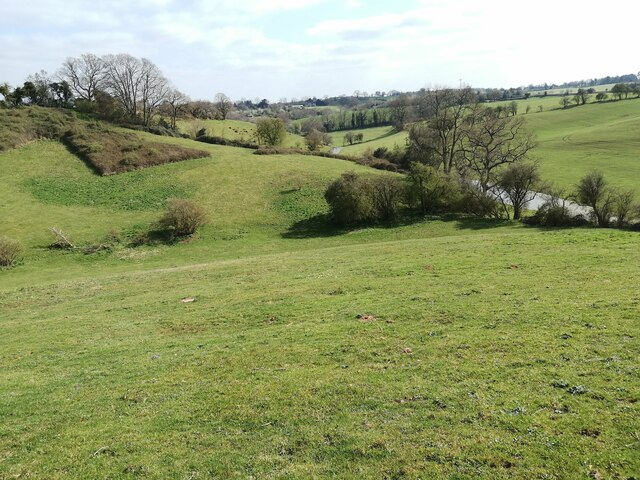
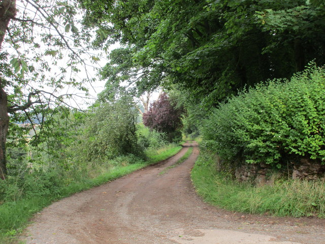
Leadon Valley is a picturesque area located in the county of Gloucestershire, England. It is named after the River Leadon, which meanders through the valley, adding to its natural beauty. The valley is nestled between the Malvern Hills to the east and the Forest of Dean to the west, offering stunning views and a tranquil atmosphere.
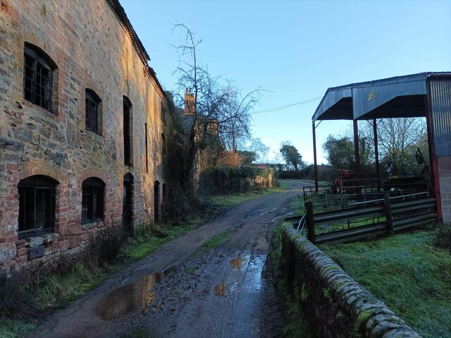
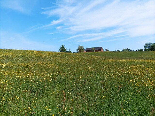
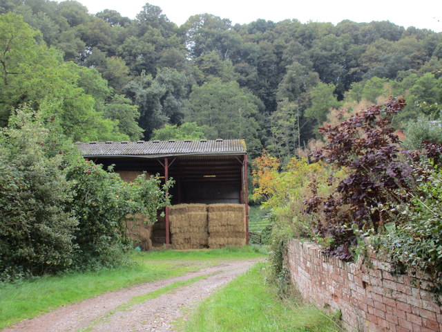
The landscape of Leadon Valley is characterized by rolling hills, lush farmlands, and charming villages. The fertile soil and favorable climate make it an ideal location for agriculture, with fields of crops and grazing livestock dotting the countryside. The valley is known for its apple orchards, producing delicious varieties of cider apples.
The villages within the Leadon Valley are quintessentially English, featuring traditional stone cottages, quaint churches, and village greens. Ledbury, a historic market town, is a prominent settlement in the area and is famous for its half-timbered buildings and annual poetry festival. The town offers a range of amenities, including shops, pubs, and restaurants.
Leadon Valley is also a haven for nature lovers and outdoor enthusiasts. The tranquil river provides opportunities for fishing and boating, while the surrounding hills and woodlands offer numerous walking and cycling trails. The area is home to a diverse range of wildlife, including otters, kingfishers, and wild deer.
Overall, Leadon Valley in Gloucestershire is a charming and idyllic countryside destination, offering a perfect mix of natural beauty, rural charm, and outdoor activities. Whether exploring the villages, enjoying the scenic landscapes, or immersing oneself in the local culture, Leadon Valley provides a delightful experience for visitors and residents alike.
If you have any feedback on the listing, please let us know in the comments section below.
Leadon Valley Images
Images are sourced within 2km of 51.977262/-2.402314 or Grid Reference SO7231. Thanks to Geograph Open Source API. All images are credited.


Leadon Valley is located at Grid Ref: SO7231 (Lat: 51.977262, Lng: -2.402314)
Administrative County: Gloucestershire
District: Forest of Dean
Police Authority: Gloucestershire
What 3 Words
///piglets.stared.noon. Near Donnington, Herefordshire
Nearby Locations
Related Wikis

Ketford Bank
Ketford Bank (grid reference SO723308) is a 0.69-hectare (1.7-acre) nature reserve in Gloucestershire.The site is owned and managed by the Gloucestershire...

Vell Mill Daffodil Meadow
Vell Mill Daffodil Meadow (grid reference SO710314) is a 2.1-hectare (5.2-acre) nature reserve in Gloucestershire.The site is owned and managed by the...

Castle Tump, Dymock
Castle Tump was a castle in the village of Dymock in Gloucestershire, England. The castle was built in either the 11th or more probably the early 12th...

Pauntley
Pauntley is a village and civil parish in the district of Forest of Dean, Gloucestershire, England. In 2019 it had a population of 304. == School == Pauntley...
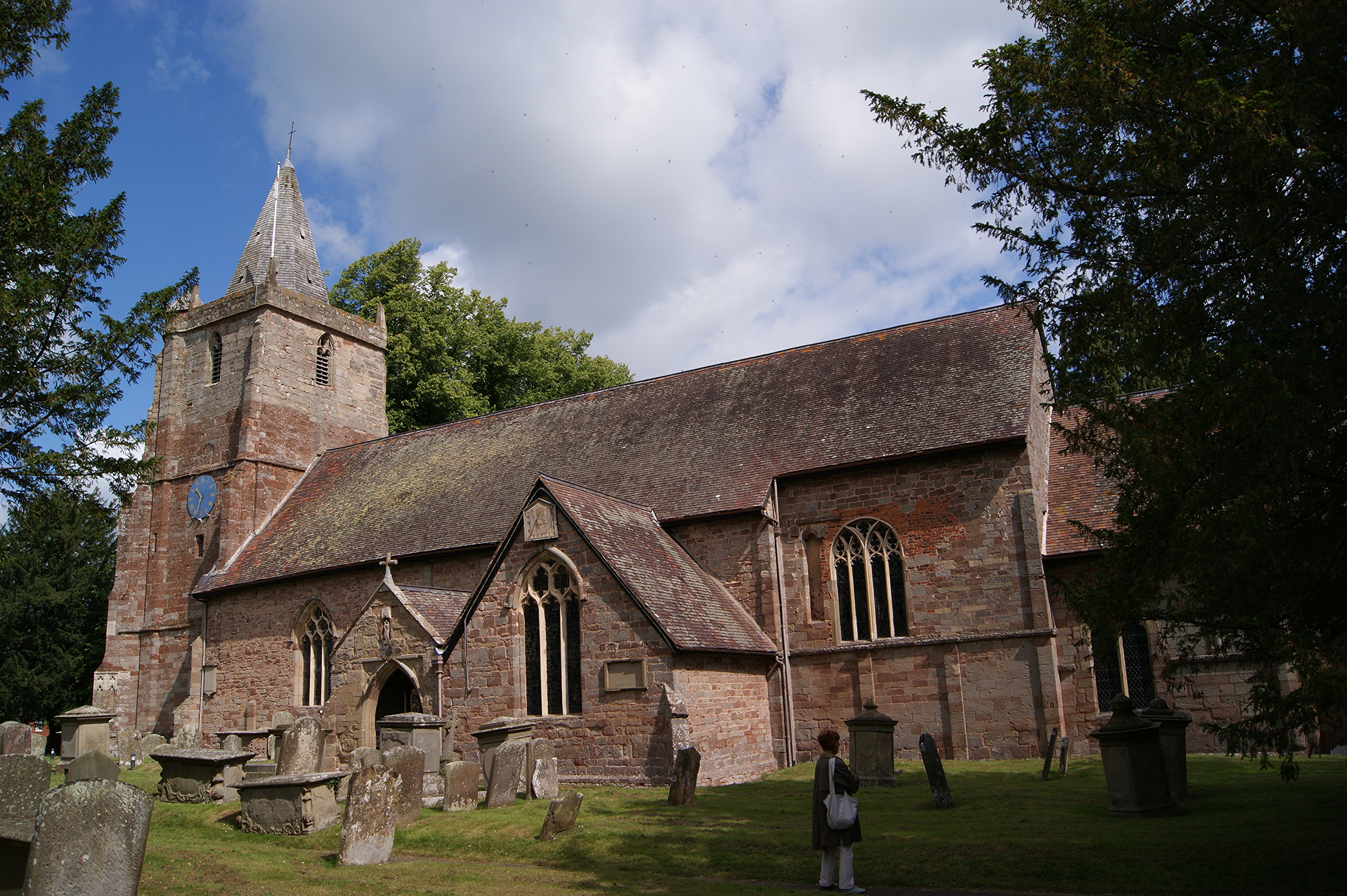
St Mary's Church, Dymock
St Mary's Church, Dymock is a Church of England parish church in the center of the village of Dymock in Gloucestershire, England. It is a Grade I listed...

Three Counties (Gloucestershire, Herefordshire and Worcestershire)
The Three Counties of England are traditionally the three agrarian counties of Gloucestershire, Herefordshire and Worcestershire.Including towns and cities...

Dymock
Dymock is a village and civil parish in the Forest of Dean district of Gloucestershire, England, about four miles south of Ledbury. In 2014 the parish...
Dymock railway station
Dymock railway station was a stop on the former Ledbury and Gloucester Railway. It opened in 1885 and served the Gloucestershire village of Dymock. It...
Nearby Amenities
Located within 500m of 51.977262,-2.402314Have you been to Leadon Valley?
Leave your review of Leadon Valley below (or comments, questions and feedback).