Leasingthorne

Settlement in Durham

England

Leasingthorne

The Miners Arms and The Durham Ox - Coundon
The Miners Arms and The Durham Ox - Coundon Credit: Anthony Parkes

Leasingthorne is a small village located in County Durham, in the northeast of England. It is situated near the town of Bishop Auckland and is surrounded by the beautiful countryside of the Durham Dales. The village is known for its quaint charm and peaceful atmosphere, making it a popular residential area for those looking to escape the hustle and bustle of city life.

Leasingthorne has a rich history, with evidence of human habitation dating back to Roman times. The village was once a thriving mining community, with coal mining playing a significant role in its economy. Today, Leasingthorne has a mix of residential properties, including traditional stone cottages and more modern houses.

The village is well-connected by road, with easy access to the A68 and A689, making it convenient for residents to travel to nearby towns and cities. Leasingthorne is also close to a range of amenities, including shops, schools, and recreational facilities.

Overall, Leasingthorne offers a peaceful and picturesque setting for those looking to enjoy the beauty of the Durham countryside while still being within easy reach of urban conveniences.

If you have any feedback on the listing, please let us know in the comments section below.

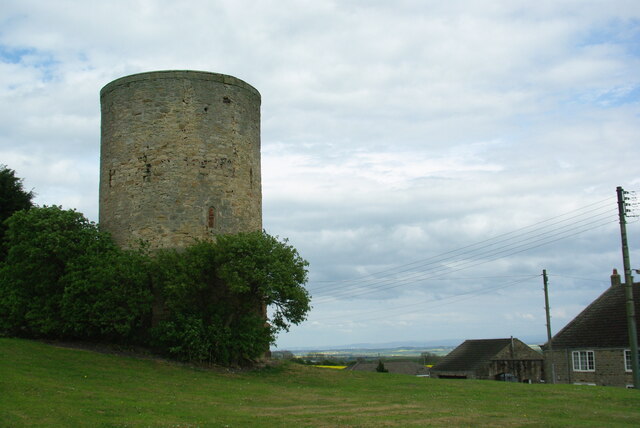
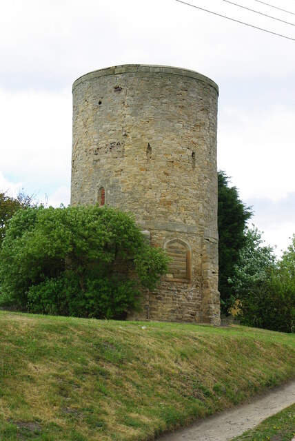
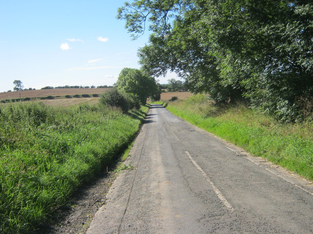
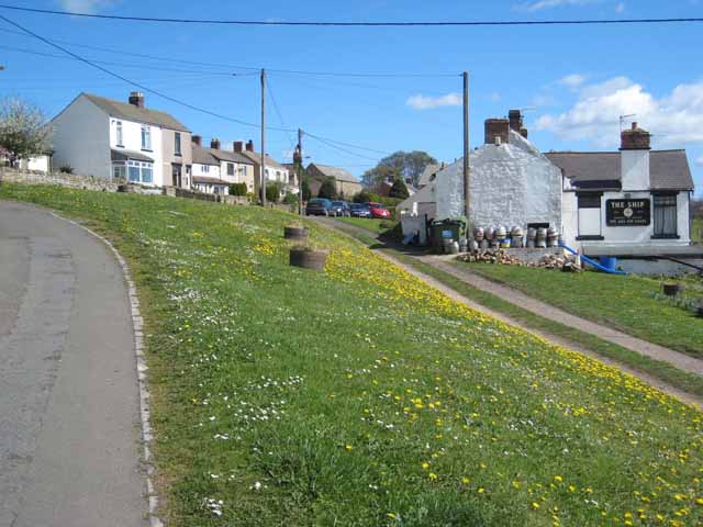
Leasingthorne Images

Images are sourced within 2km of 54.668167/-1.605785 or Grid Reference NZ2530. Thanks to Geograph Open Source API. All images are credited.

The Miners Arms and The Durham Ox - Coundon
Gateway to Windlestone Hall
Bus Stop near Windlestone
Layby on the A689
Layby on the A689
Westerton Folly Built as an observatory tower in the 18th century
Westerton Folly
Built as an observatory tower in the 18th century
Westerton Folly Built as an observatory tower in the 18th century
Westerton Folly
Built as an observatory tower in the 18th century
Playground in Wharton Street Coundon
The infant Coundon Burn
Dairy Lane in Westerton County Durham
Fair View Close Coundon
Holberry Terrace Coundon
Well Cottages Windlestone Lane
Unclassified Road south from Westerton
Junction of minor roads near Middlestone Moor In the middle distance Newton Cap Viaduct in Bishop Auckland
Junction of minor roads near Middlestone Moor
In the middle distance Newton Cap Viaduct in Bishop Auckland
Etty Hill near Coundon
Footpath leading off Merrington Lane
Footpath to Merrington Grange and beyond
Bridleway alongside the eastern boundary of Windlestone Hall
Show me another place!

Leasingthorne is located at Grid Ref: NZ2530 (Lat: 54.668167, Lng: -1.605785)

Unitary Authority: County Durham

Police Authority: Durham

What 3 Words

///landscape.agent.droplet. Near Coundon, Co. Durham

Nearby Locations

Leasingthorne

Related Wikis

Leasingthorne

Leasingthorne is a small village in County Durham, England. It is situated to the east of Bishop Auckland, near Coundon. Located in the Durham Coalfield...

Middlestone

Middlestone is a village and former civil parish in the County Durham district, in the ceremonial county of Durham, England. It is situated to the south...

Leeholme

Leeholme is a village in County Durham, England. It is situated immediately to the north of Coundon. In the 2001 census Leeholme had a population of 513...

Kirk Merrington

Kirk Merrington is a village in County Durham, in England. It is situated between the towns of Bishop Auckland and Ferryhill. It is part of the Spennymoor...

Nearby Amenities

Located within 500m of 54.668167,-1.605785
Leasingthorne Colliery
Historic: archaeological_site
Mineral: coal
Source: NPE
Source Name: History, Topography and Directory of Durham, Whellan , London, 1894
Lat/Long: 54.6676182/-1.6101691
Bus Stop
Eden Terrace
Bus: yes
Naptan AtcoCode: 13004625A
Naptan Bearing: N
Naptan CommonName: Eden Terrace
Naptan Indicator: north bound
Naptan Landmark: Landmark not known
Naptan NaptanCode: durdawtg
Naptan Notes: Opposite 10 Eden Terrace- Leasingthorne
Naptan Street: Unclassified Road
Naptan Verified: no
Public Transport: platform
Source: naptan_import
Lat/Long: 54.6639198/-1.6059813
Bus Stop
Eden Terrace
Bus: yes
Naptan AtcoCode: 13004625E
Naptan Bearing: S
Naptan CommonName: Eden Terrace
Naptan Indicator: south bound
Naptan Landmark: Landmark not known
Naptan NaptanCode: durdawtj
Naptan Notes: South of 12 of Eden Terrace- Leasingthorne
Naptan Street: Unclassified Road
Naptan Verified: no
Public Transport: platform
Source: naptan_import
Lat/Long: 54.663686/-1.6059216
Bus Stop
Brickworks
Bus: yes
Naptan AtcoCode: 13004626A
Naptan Bearing: N
Naptan BusStopType: CUS
Naptan CommonName: Brickworks
Naptan Indicator: north bound
Naptan Landmark: Landmark not known
Naptan NaptanCode: durdawtm
Naptan Notes: On Eden Terrace south from Kirk Merrington- S of Leasingthorne Farm- and just S of Eden Arms
Naptan Street: Unclassified Road
Naptan Verified: no
Note: Customer request stops - not expected to be marked
Public Transport: platform
Source: naptan_import
Lat/Long: 54.6664942/-1.6044835
Bus Stop
Brickworks
Bus: yes
Naptan AtcoCode: 13004626E
Naptan Bearing: S
Naptan BusStopType: CUS
Naptan CommonName: Brickworks
Naptan Indicator: south bound
Naptan Landmark: Landmark not known
Naptan NaptanCode: durdawtp
Naptan Notes: On Eden Terrace south from Kirk Merrington- S of Leasingthorne Farm- and just S of Eden Arms
Naptan Street: Unclassified Road
Naptan Verified: no
Note: Customer request stops - not expected to be marked
Public Transport: platform
Source: naptan_import
Lat/Long: 54.6664937/-1.6043129
Bus Stop
Stobbs Place
Bus: yes
Naptan AtcoCode: 13006745A
Naptan Bearing: N
Naptan CommonName: Stobbs Place
Naptan Indicator: north bound
Naptan Landmark: Landmark not known
Naptan NaptanCode: durdpwpa
Naptan Notes: Shamrock House on road leading S from Kirk Merrington- near junction leading to Blue House
Naptan Street: Unclassified Road to Leasingthorne
Naptan Verified: no
Public Transport: platform
Source: naptan_import
Lat/Long: 54.6713629/-1.6010403
Bus Stop
Stobbs Place
Bus: yes
Naptan AtcoCode: 13006745E
Naptan Bearing: S
Naptan CommonName: Stobbs Place
Naptan Indicator: south bound
Naptan Landmark: Landmark not known
Naptan NaptanCode: durdpwpd
Naptan Notes: Opposite Shamrock House on road leading S from Kirk Merrington- near junction leading to Blu
Naptan Street: Unclassified Road to Leasingthorne
Naptan Verified: no
Public Transport: platform
Source: naptan_import
Lat/Long: 54.6713535/-1.6009163
Leasingthorne
Place: hamlet
Source: survey
Wikidata: Q6510315
Wikipedia: en:Leasingthorne
Lat/Long: 54.6642529/-1.6058511
Power: pole
Lat/Long: 54.6705227/-1.5992323
Power: pole
Lat/Long: 54.6706033/-1.6004661
Power: pole
Lat/Long: 54.6706576/-1.6013297
Power: pole
Lat/Long: 54.6707197/-1.6027728
Power: pole
Lat/Long: 54.6707631/-1.6041729
Power: pole
Lat/Long: 54.670898/-1.6057849
Power: pole
Lat/Long: 54.6709802/-1.6071126
Power: pole
Lat/Long: 54.6710633/-1.6086213
Power: pole
Lat/Long: 54.6711354/-1.6099718
Power: pole
Lat/Long: 54.6712269/-1.6114819
Leasingthorne Farm
Addr City: Bishop Auckland
Addr Postcode: DL14 8ET
Addr Suburb: Leasingthorne
Image: https://www.geograph.org.uk/photo/5278189
Place: farm
Source Name: OS_OpenData_StreetView
Source Postcode: CodePoint Open
Lat/Long: 54.6679587/-1.604138
Power: pole
Lat/Long: 54.664584/-1.602231
Power: pole
Lat/Long: 54.6653085/-1.6019037
Power: pole
Lat/Long: 54.665939/-1.6016047
Power: pole
Lat/Long: 54.6665006/-1.6025984
Power: pole
Lat/Long: 54.6670559/-1.6036096
Power: pole
Lat/Long: 54.6675228/-1.6046409
Power: pole
Lat/Long: 54.667792/-1.6061564
Power: pole
Lat/Long: 54.6680378/-1.6075592
Power: pole
Lat/Long: 54.668089/-1.6075324
Power: pole
Lat/Long: 54.6685543/-1.6063911
Power: pole
Lat/Long: 54.6690918/-1.6050527
Power: pole
Lat/Long: 54.6696564/-1.6036552
Power: pole
Lat/Long: 54.6701248/-1.6025649
Power: pole
Lat/Long: 54.6705909/-1.6014424
Power: pole
Lat/Long: 54.6708259/-1.6004701
Power: pole
Lat/Long: 54.6723552/-1.6036686
Power: pole
Lat/Long: 54.6717426/-1.6042842
Power: pole
Lat/Long: 54.6713378/-1.6046852
Power: pole
Lat/Long: 54.6709492/-1.6057581
Power: pole
Lat/Long: 54.6711043/-1.6086213
Power: pole
Lat/Long: 54.6718488/-1.6090626
Historic: memorial
Memorial: war_memorial
Wikidata: Q66478043
Lat/Long: 54.6642776/-1.6059881
The data included in this document is from www.openstreetmap.org. The data is made available under ODbL.

Have you been to Leasingthorne?

Leave your review of Leasingthorne below (or comments, questions and feedback).