Bond's Dingle
Valley in Herefordshire
England
Bond's Dingle

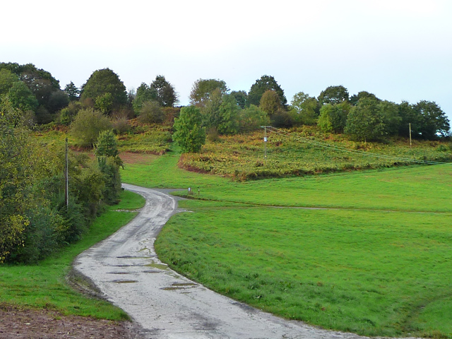
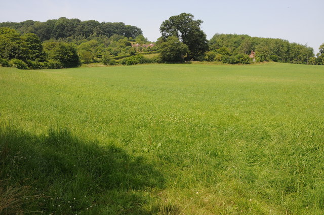
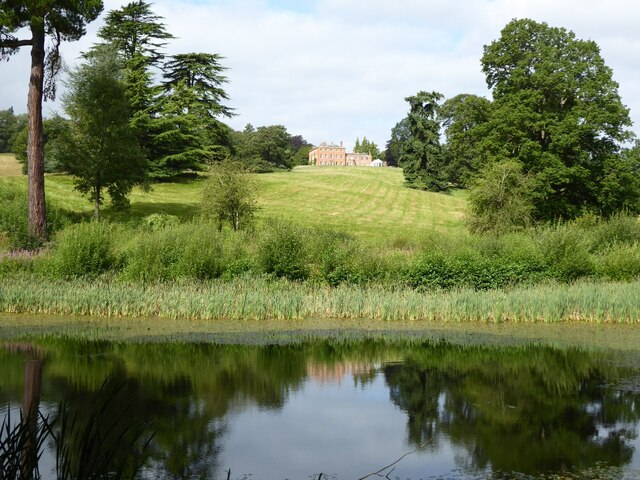
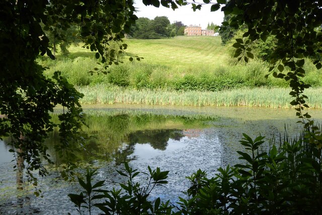
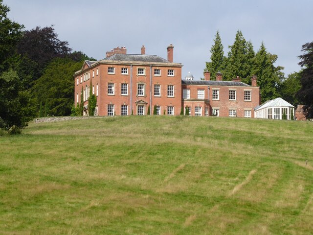
Bond's Dingle is a picturesque valley located in Herefordshire, England. Nestled amidst the rolling hills of the county, it offers a tranquil and idyllic escape for nature lovers and outdoor enthusiasts. The valley is situated near the village of Bond's Dingle, and its breathtaking beauty attracts visitors from far and wide.
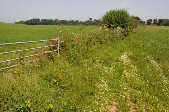
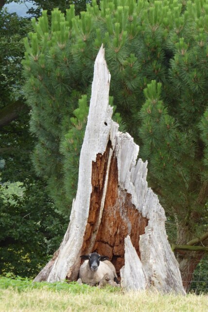
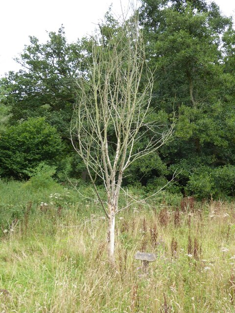
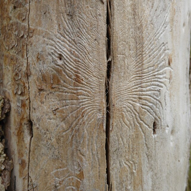
This enchanting valley is renowned for its diverse flora and fauna, making it a haven for wildlife enthusiasts and botanists. The lush green meadows and woodlands are home to a myriad of bird species, including the vibrant European goldfinch and the elusive kingfisher. The valley's crystal-clear streams and rivers support a thriving ecosystem, with otters and water voles often spotted along their banks.
Bond's Dingle also boasts an extensive network of walking trails that wind through its stunning landscape. These trails offer panoramic views of the surrounding countryside, with highlights including the picturesque Black Mountains and the Herefordshire Beacon. Visitors can explore the valley's hidden gems, such as charming waterfalls and ancient ruins, while immersing themselves in the peaceful ambiance of the countryside.
The valley is a popular destination for nature photography and landscape painting due to its breathtaking vistas and ever-changing seasonal colors. Autumn transforms the valley into a kaleidoscope of reds, oranges, and yellows, while spring brings a vibrant burst of wildflowers and blossoming trees.
Whether seeking a peaceful retreat or a place to immerse oneself in nature's beauty, Bond's Dingle in Herefordshire offers a truly enchanting experience for all who visit.
If you have any feedback on the listing, please let us know in the comments section below.
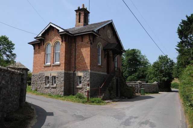
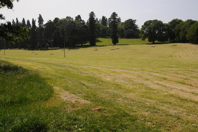
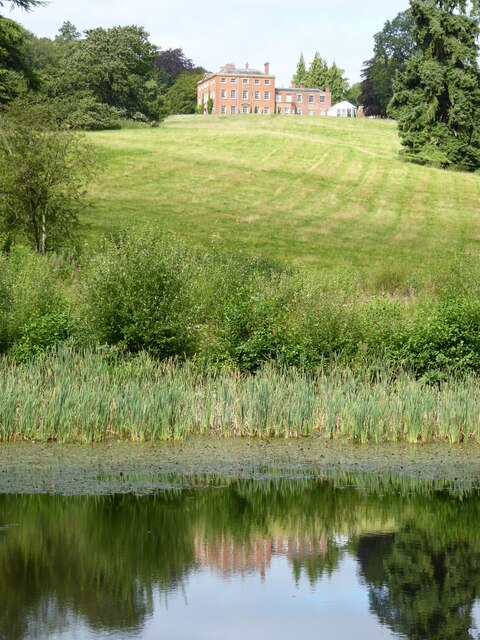
Bond's Dingle Images
Images are sourced within 2km of 52.201435/-2.4446329 or Grid Reference SO6956. Thanks to Geograph Open Source API. All images are credited.


Bond's Dingle is located at Grid Ref: SO6956 (Lat: 52.201435, Lng: -2.4446329)
Unitary Authority: County of Herefordshire
Police Authority: West Mercia
What 3 Words
///class.tightest.speak. Near Bromyard, Herefordshire
Nearby Locations
Related Wikis
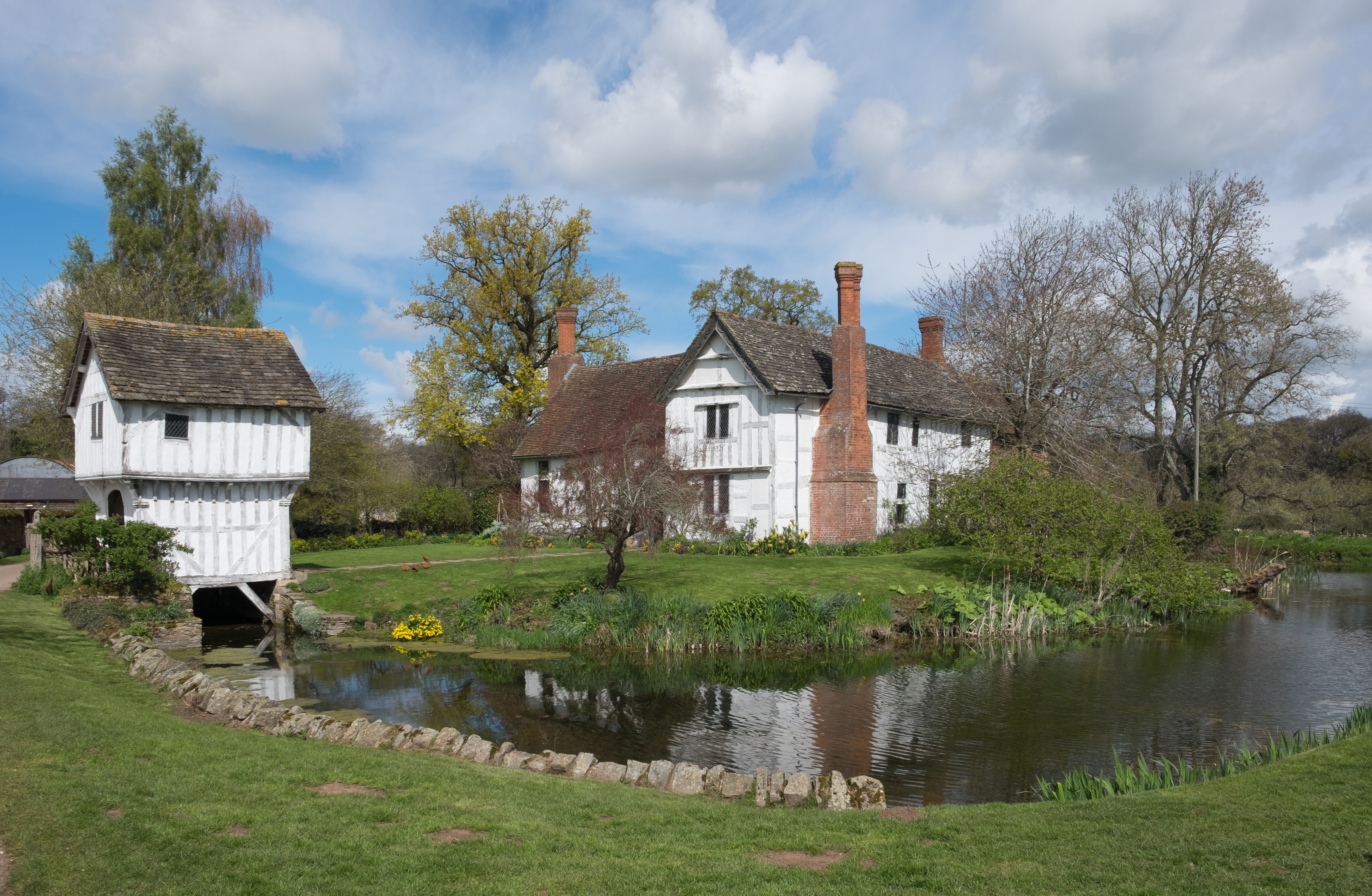
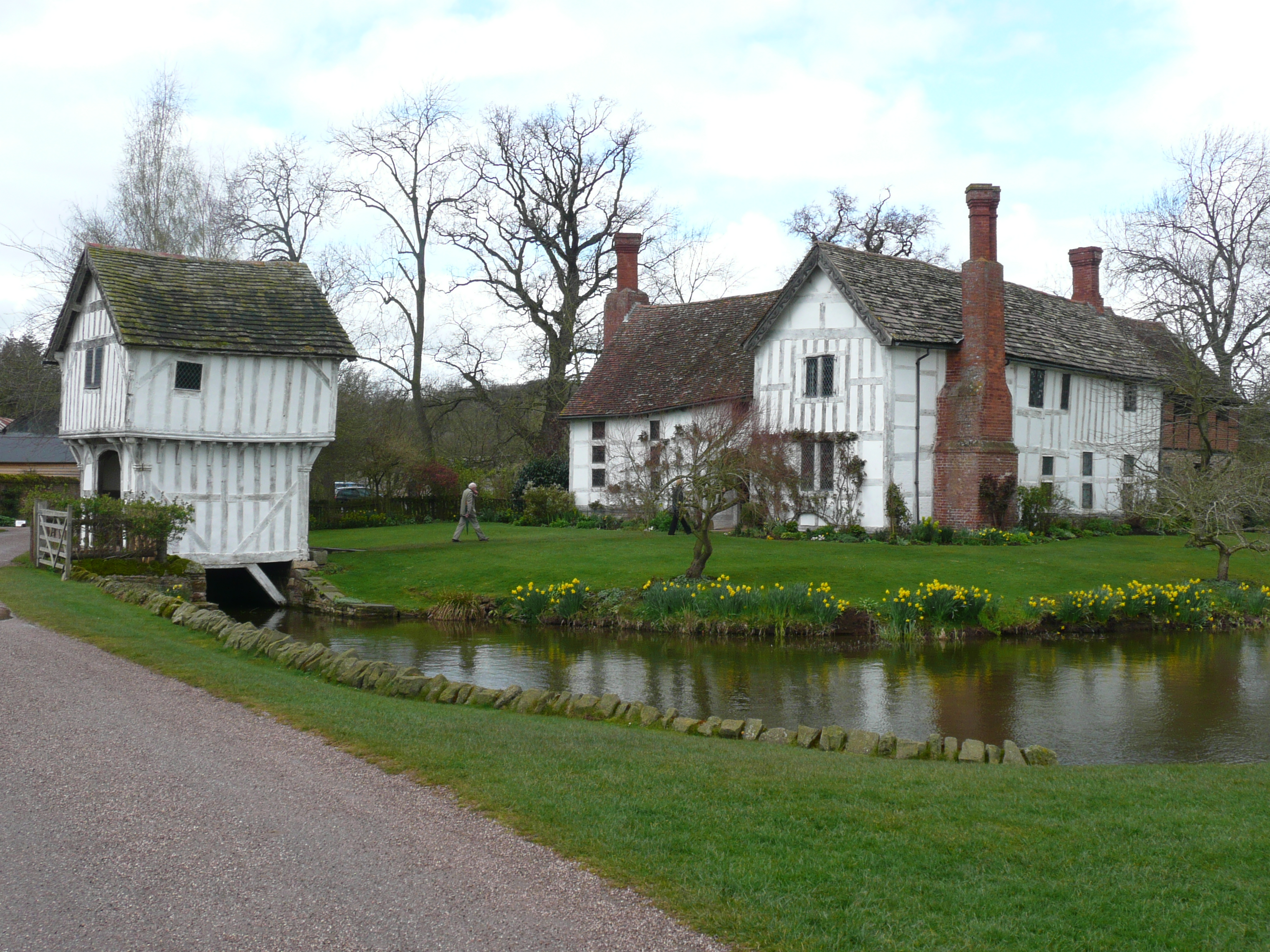
Brockhampton Estate
The Brockhampton Estate is a National Trust property in Herefordshire, England, and is to the north of the A44 Bromyard to Worcester road, opposite the...
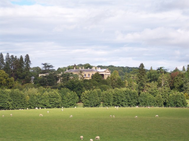
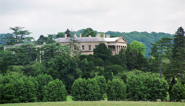
Whitbourne Hall
Whitbourne Hall is a Grade II* listed Greek Revival country house located in the village of Whitbourne in Herefordshire (near the Worcestershire border...

Bringsty Common
Bringsty Common is a scattered settlement and 220 acres (89 ha) of common land in Herefordshire, England, spanning the A44. It lies close to the Worcestershire...
Brockhampton (near Bromyard)
Brockhampton is a civil parish in Herefordshire, England, about 4 km (2 mi) east of Bromyard. The parish comprises the National Trust property of Brockhampton...

Linton (near Bromyard)
Linton is a civil parish in north-east of Herefordshire, England, and is approximately 14 miles (23 km) north-east from the city and county town of Hereford...
Tedstone Delamere
Tedstone Delamere is a village and civil parish in Herefordshire, England, 3.5 miles (6 km) north-east of Bromyard. The population of the parish at the...

Whitbourne, Herefordshire
Whitbourne (Anglo-Saxon for "white stream") is a village in Eastern Herefordshire, England on the banks of the River Teme and close to the A44. It is close...
Yearsett railway station
Yearsett railway station was a station to the southeast of Brockhampton, Herefordshire, England. The station was opened on 2 May 1874 as a temporary terminus...
Nearby Amenities
Located within 500m of 52.201435,-2.4446329Have you been to Bond's Dingle?
Leave your review of Bond's Dingle below (or comments, questions and feedback).