South Tynedale
Valley in Northumberland
England
South Tynedale
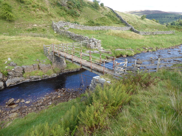
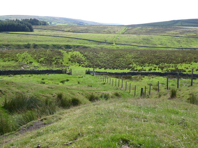
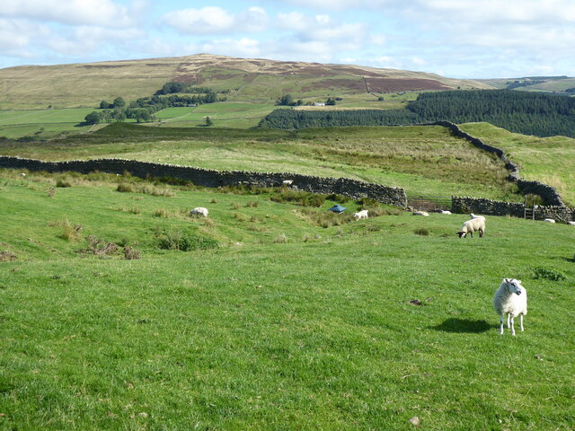
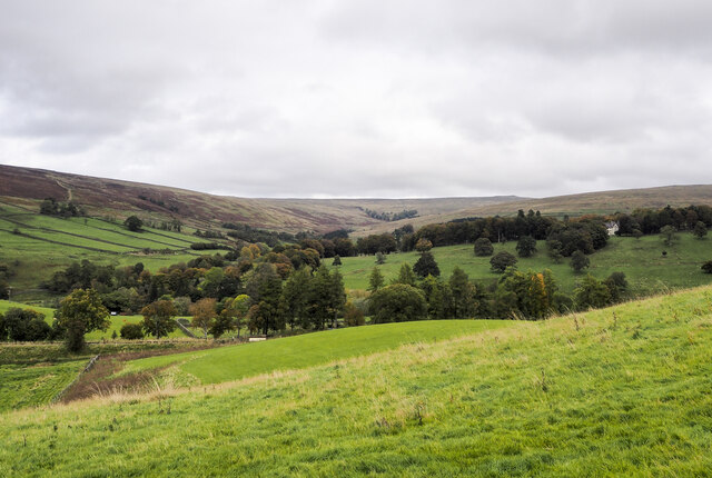
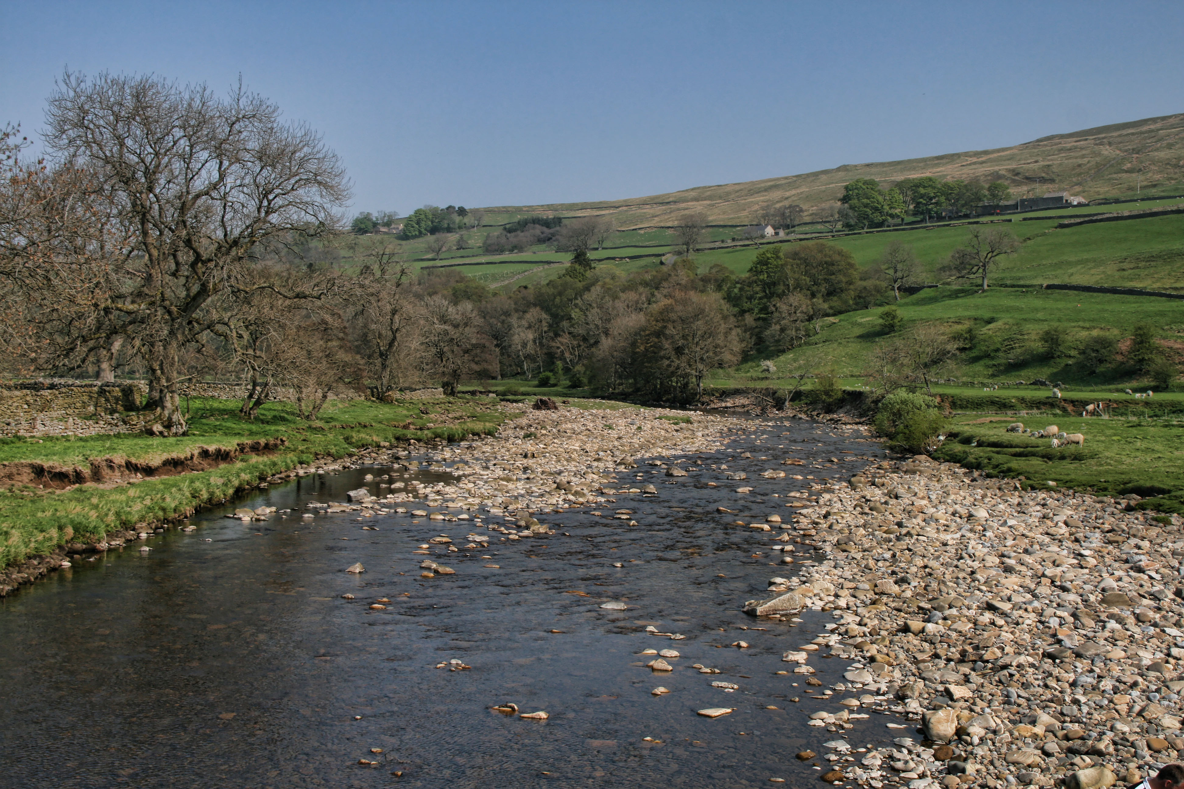
South Tynedale is a picturesque valley located in Northumberland, a county in northeastern England. It stretches along the River South Tyne, offering breathtaking landscapes and a tranquil atmosphere. The valley is nestled between the North Pennines Area of Outstanding Natural Beauty to the west and the Northumberland National Park to the east, making it a haven for outdoor enthusiasts and nature lovers.
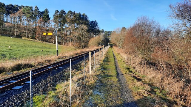
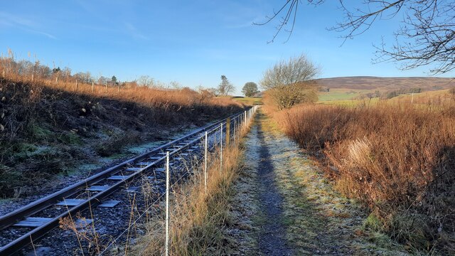
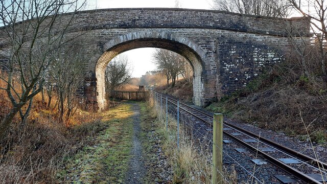
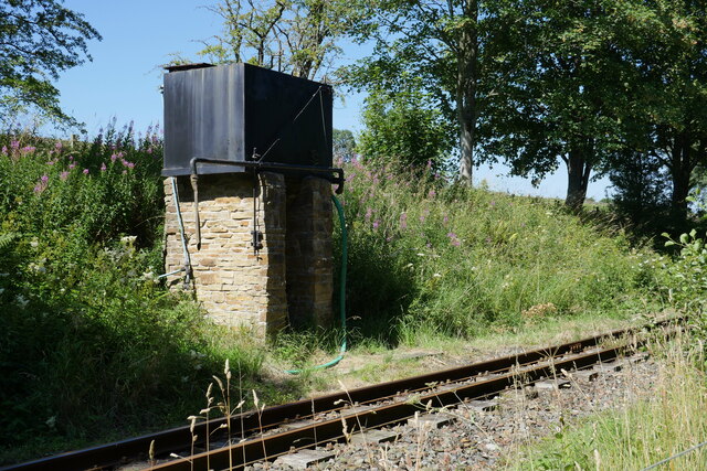
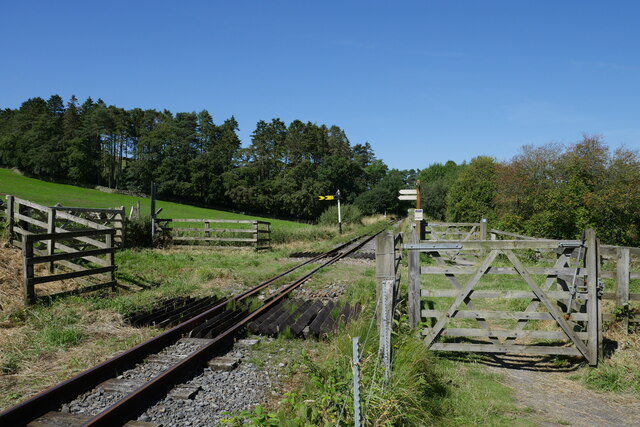
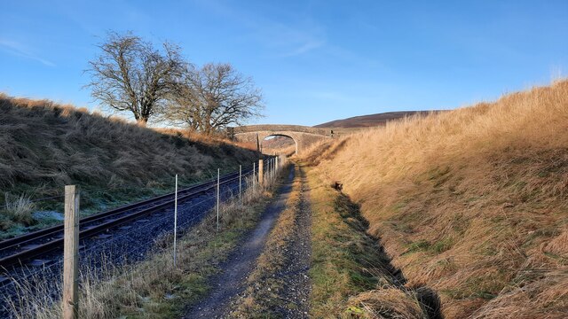
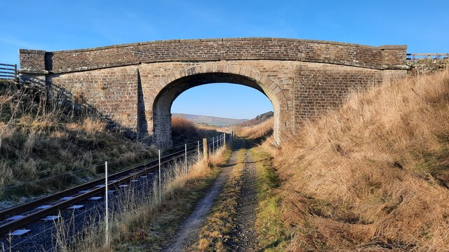
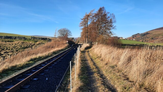
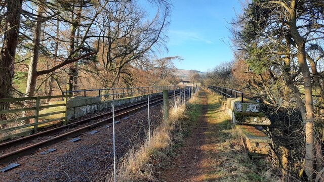
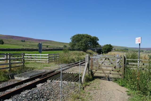
The South Tynedale Railway, a narrow-gauge heritage railway, is a prominent feature of the valley. Running for 3.5 miles from Alston to Slaggyford, it provides visitors with a unique way to explore the area and enjoy panoramic views of the surrounding countryside. The railway is operated by dedicated volunteers who maintain and restore the vintage steam and diesel locomotives.
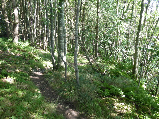
The valley is also home to a variety of wildlife, including red squirrels, otters, and numerous bird species. It offers excellent opportunities for birdwatching, with the nearby Allen Banks and Staward Gorge Nature Reserve being particularly popular.
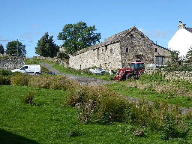
The quaint town of Alston, located at the heart of South Tynedale, is known for its cobbled streets, historic buildings, and independent shops. It boasts a rich mining heritage, and visitors can learn about the area's history at the Alston Discovery Centre.
Outdoor activities are abundant in South Tynedale, with numerous walking and cycling trails crisscrossing the valley. The Pennine Way, one of England's most famous long-distance footpaths, passes through the valley, attracting hikers from far and wide.
In summary, South Tynedale, Northumberland, offers a peaceful retreat amidst stunning natural beauty. Its combination of historic charm, outdoor pursuits, and unique attractions make it a must-visit destination for those seeking tranquility and a connection with nature.
If you have any feedback on the listing, please let us know in the comments section below.
South Tynedale Images
Images are sourced within 2km of 54.840355/-2.473624 or Grid Reference NY6949. Thanks to Geograph Open Source API. All images are credited.

South Tynedale is located at Grid Ref: NY6949 (Lat: 54.840355, Lng: -2.473624)
Unitary Authority: Northumberland
Police Authority: Northumbria
What 3 Words
///deeds.predict.soda. Near Alston, Cumbria
Nearby Locations
Related Wikis

South Tynedale Railway
The South Tynedale Railway is a preserved, 2 ft (610 mm) narrow gauge heritage railway in Northern England and at 875ft is England's second highest narrow...
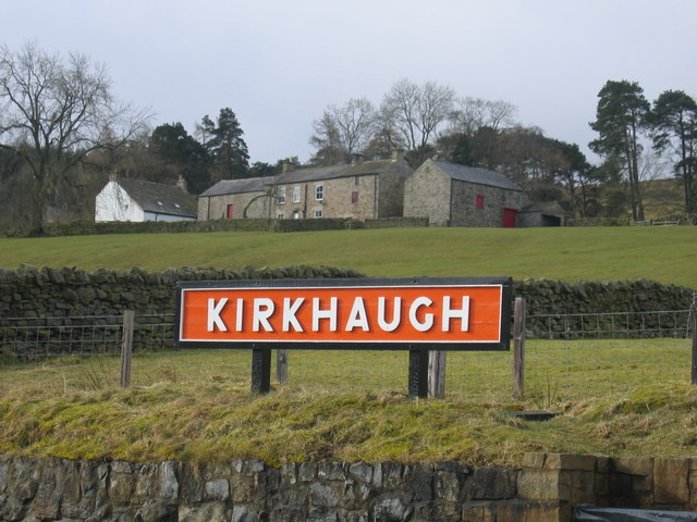
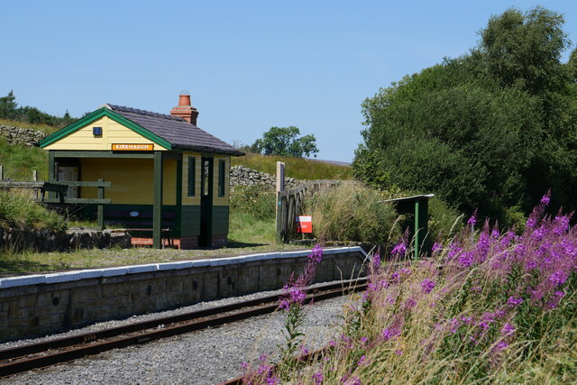
Kirkhaugh railway station
Kirkhaugh is a railway station on the South Tynedale Railway, which runs between Slaggyford and Alston. The station serves the hamlet of Kirkhaugh in Northumberland...
Kirkhaugh
Kirkhaugh is a very small village and former civil parish, now in the parish of Knaresdale with Kirkhaugh, adjacent to the River South Tyne in Northumberland...

Whitley Castle
Whitley Castle (Epiacum) is a large, unusually shaped Roman fort (Latin: castra) north-west of the town of Alston, Cumbria, England. The castrum, which...
Nearby Amenities
Located within 500m of 54.840355,-2.473624Have you been to South Tynedale?
Leave your review of South Tynedale below (or comments, questions and feedback).