Clunter Clough
Valley in Yorkshire Ribble Valley
England
Clunter Clough

Clunter Clough is a picturesque valley located in the county of Yorkshire, England. Nestled amidst the breathtaking Yorkshire Dales, this hidden gem offers a tranquil retreat for nature enthusiasts and hikers alike. The name "clough" is derived from Old English and refers to a steep-sided valley or ravine, which perfectly describes the topography of this enchanting location.
The valley is characterized by its lush greenery, rolling hills, and meandering streams that flow through its heart. The landscape is dotted with quaint stone cottages and dry stone walls, adding to its timeless charm. Clunter Clough is renowned for its diverse wildlife, with sightings of deer, foxes, and various species of birds being common.
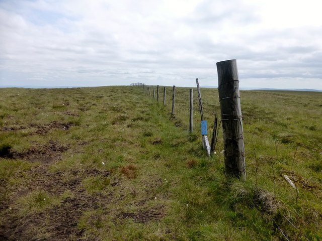
Exploring Clunter Clough is a delight for trekkers, who can embark on numerous hiking trails that wind through the valley. These trails provide stunning views of the surrounding countryside, with opportunities to spot cascading waterfalls and ancient woodland. The valley is also home to several natural landmarks, such as the imposing Cluntergate Bridge, which dates back to the 18th century and adds a touch of history to the area.
For those seeking a peaceful retreat, Clunter Clough offers a range of accommodations, including cozy guesthouses and charming bed and breakfasts. Visitors can also indulge in traditional Yorkshire cuisine at the local pubs and restaurants, which often feature locally sourced ingredients and hearty dishes.
Overall, Clunter Clough is a haven of tranquility and natural beauty, offering a perfect escape from the hustle and bustle of everyday life. Whether you are an avid hiker, a nature lover, or simply seeking a peaceful getaway, this idyllic valley in Yorkshire promises to leave you rejuvenated and enchanted.
If you have any feedback on the listing, please let us know in the comments section below.
Clunter Clough Images
Images are sourced within 2km of 54.041128/-2.467953 or Grid Reference SD6960. Thanks to Geograph Open Source API. All images are credited.


Clunter Clough is located at Grid Ref: SD6960 (Lat: 54.041128, Lng: -2.467953)
Division: West Riding
Administrative County: Lancashire
District: Ribble Valley
Police Authority: Lancashire
What 3 Words
///embedded.inversion.hubcaps. Near High Bentham, North Yorkshire
Nearby Locations
Related Wikis

White Hill (Forest of Bowland)
White Hill is a hill in the Forest of Bowland, north-western England. It lies between Slaidburn and High Bentham. The summit houses a tower and a trig...

Geography of the United Kingdom
The United Kingdom is a sovereign state located off the north-western coast of continental Europe. With a total area of approximately 248,532 square kilometres...

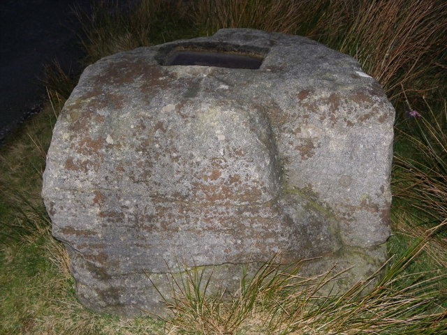
Great Stone of Fourstones
The Great Stone of Fourstones, or the Big Stone as it is known locally, is a glacial deposit on the moorlands of Tatham Fells, England, straddling the...

Stocks Reservoir
Stocks Reservoir is a reservoir situated at the head of the Hodder valley in the Forest of Bowland, Lancashire, England (historically in the West Riding...

Church of the Good Shepherd, Tatham
The Church of the Good Shepherd is on Tatham Fell in Lancashire, England. It is an active Anglican parish church in the deanery of Tunstall, the archdeaconry...

Easington, Lancashire
Easington () is a civil parish within the Ribble Valley district of Lancashire, England, with a population in 2001 of 52. The Census 2011 population details...

Keasden
Keasden is a hamlet in the civil parish of Clapham-cum-Newby, in the Craven district of the county of North Yorkshire, in the north-western England. It...

Brennand Farm
Brennand Farm is often claimed to be the true centre of Great Britain. This is about seven kilometres north-west of Dunsop Bridge - which has the nearest...
Nearby Amenities
Located within 500m of 54.041128,-2.467953Have you been to Clunter Clough?
Leave your review of Clunter Clough below (or comments, questions and feedback).