Lee Dingle
Valley in Shropshire
England
Lee Dingle

Lee Dingle is a small village located in the picturesque county of Shropshire, England. Nestled in the heart of the stunning Shropshire Valley, this charming village offers a serene and tranquil setting for its residents and visitors alike.
With a population of approximately 500, Lee Dingle exudes a close-knit community atmosphere. The village is known for its friendly and welcoming locals, who take pride in maintaining the area's natural beauty and preserving its rich heritage.
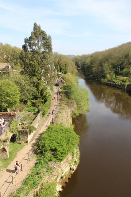
Surrounded by lush green fields, rolling hills, and meandering streams, Lee Dingle is a haven for nature lovers and outdoor enthusiasts. The village is a gateway to numerous scenic walking trails, providing breathtaking views of the surrounding countryside. It is also home to a variety of wildlife, including deer, rabbits, and a wide array of bird species.
The village itself is characterized by its traditional architecture, with many historic buildings dating back to the 17th and 18th centuries. The charming village church, St. Mary's, stands as a testament to the area's long-standing religious heritage.
Lee Dingle boasts a strong sense of community spirit, with regular events and activities organized by local residents. The village pub, The Dingle Arms, is a popular gathering spot for residents and visitors to enjoy a pint and engage in lively conversations.
Overall, Lee Dingle is a hidden gem in the Shropshire Valley, offering a peaceful retreat from the hustle and bustle of city life. Its natural beauty, rich history, and warm community make it a truly special place to visit or call home.
If you have any feedback on the listing, please let us know in the comments section below.
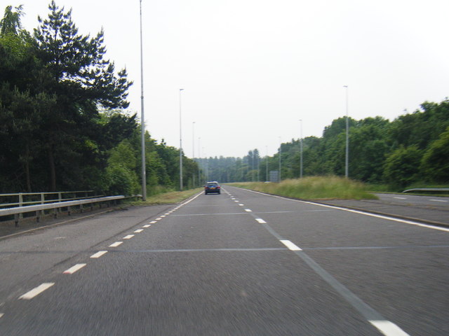
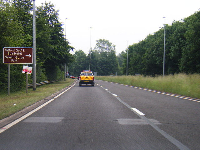
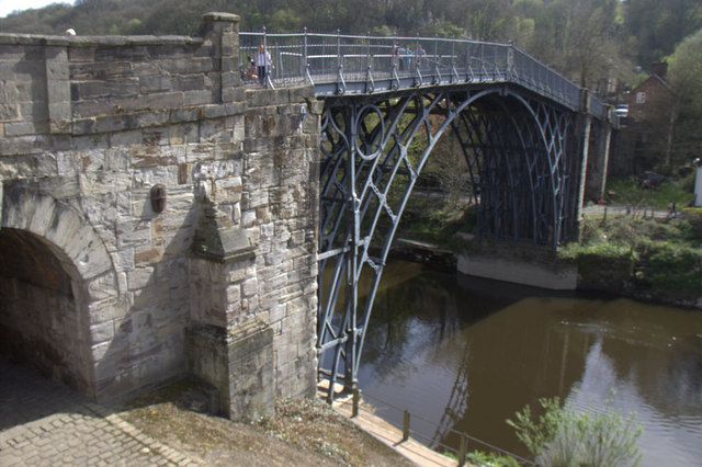
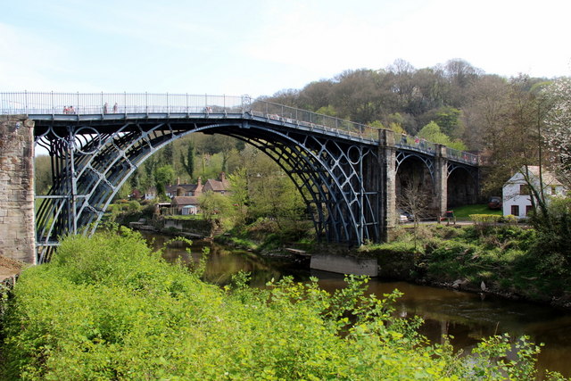
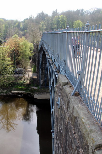
Lee Dingle Images
Images are sourced within 2km of 52.63015/-2.4580399 or Grid Reference SJ6903. Thanks to Geograph Open Source API. All images are credited.


Lee Dingle is located at Grid Ref: SJ6903 (Lat: 52.63015, Lng: -2.4580399)
Unitary Authority: Telford and Wrekin
Police Authority: West Mercia
What 3 Words
///pelt.reset.cooking. Near Ironbridge, Shropshire
Nearby Locations
Related Wikis
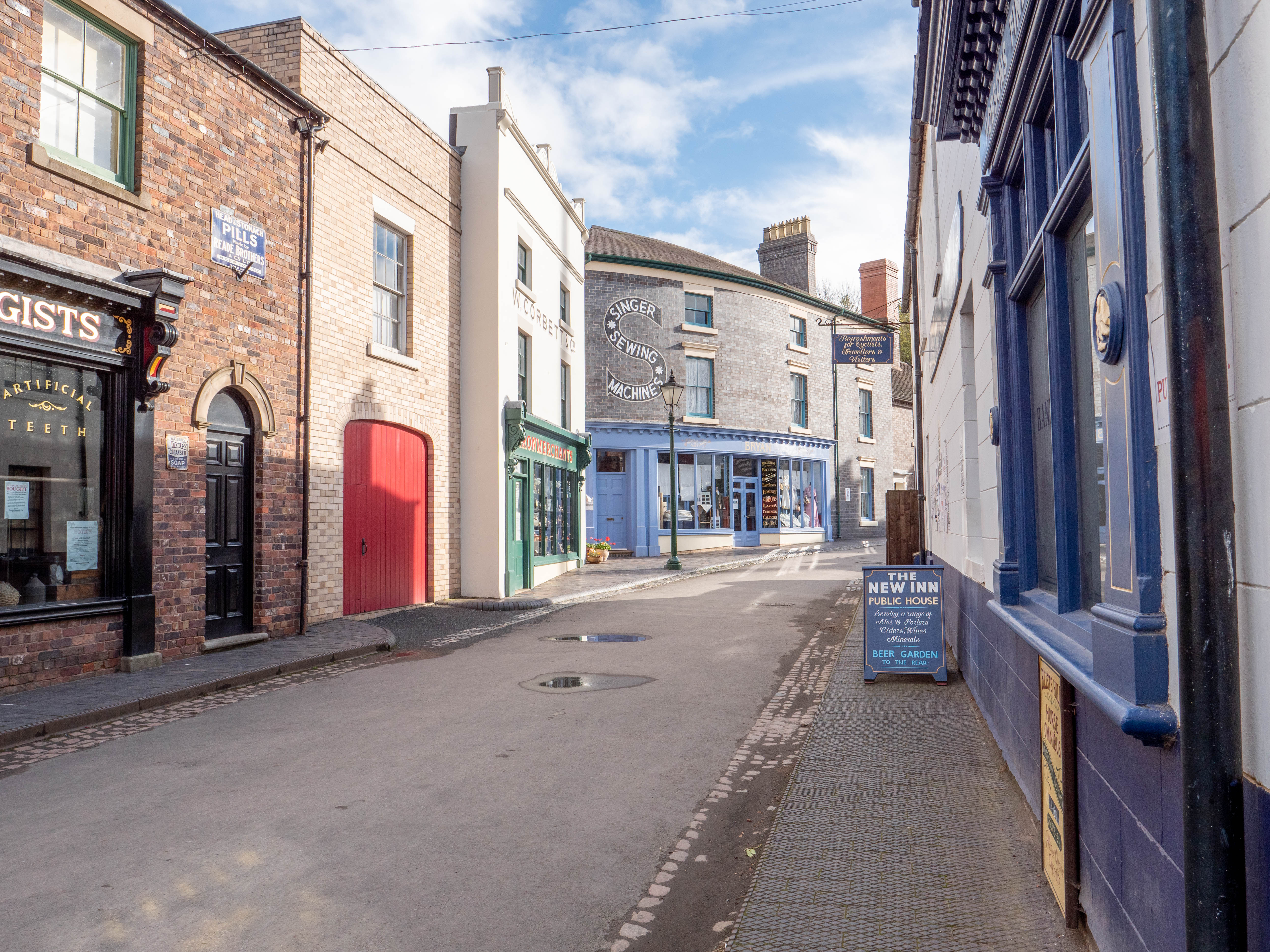
Blists Hill Victorian Town
Blists Hill Victorian Town is an open-air museum built on a former industrial complex located in the Madeley area of Telford, Shropshire, England. The...

St Michael's Church, Madeley
St Michael's Church, Madeley, is located near the centre of Madeley, Shropshire, England. It is one of three places of worship that constitute the Parish...

Haberdashers' Abraham Darby
Haberdashers' Abraham Darby Academy in Telford, Shropshire, England, is acoeducational secondary school on Ironbridge Road in Madeley which was founded...

Jackfield Tile Museum
Jackfield Tile Museum is a museum which presents the history of the British decorative tile industry between 1840 and 1960, the period in which this factory...
Nearby Amenities
Located within 500m of 52.63015,-2.4580399Have you been to Lee Dingle?
Leave your review of Lee Dingle below (or comments, questions and feedback).