Dan Clough
Valley in Yorkshire Ribble Valley
England
Dan Clough

Dan Clough is a picturesque valley located in the county of Yorkshire, England. Nestled amidst the rolling hills of the Pennines, it is renowned for its natural beauty and tranquil ambiance. The valley is situated near the village of Marsden, just a few miles southwest of Huddersfield.
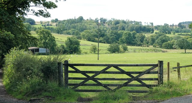
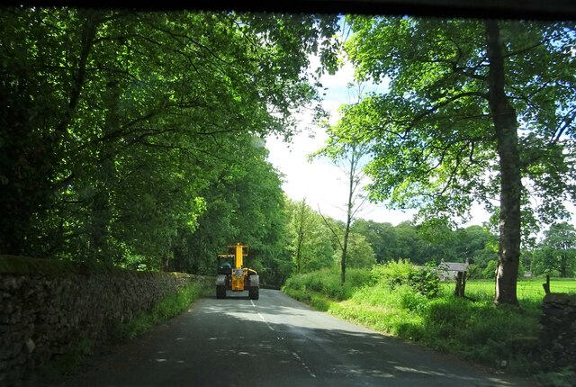
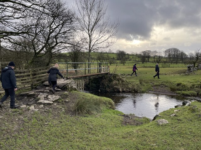
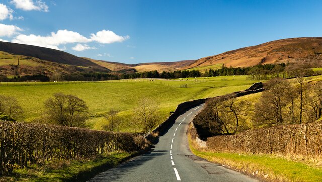
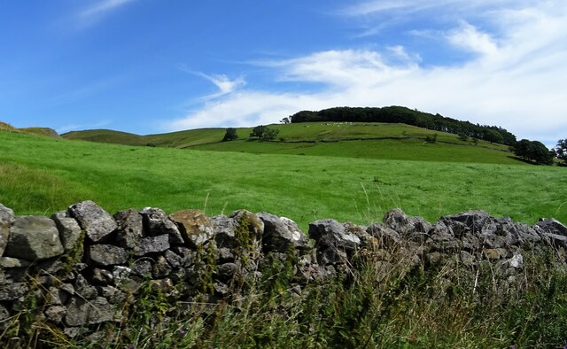
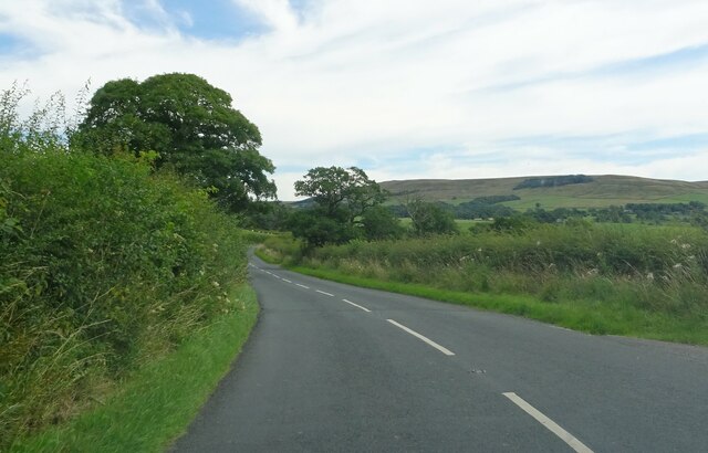
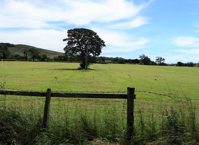
The landscape of Dan Clough is characterized by its lush greenery, with meandering streams, dense woodlands, and open moorland. It is a haven for nature enthusiasts, offering an array of walking trails and hiking routes that showcase the area's diverse flora and fauna. Visitors can expect to encounter a variety of wildlife, including birds of prey, deer, and rare plant species.
One of the prominent features of Dan Clough is the reservoir, which was constructed in the 19th century to supply water to the local towns and villages. The reservoir not only adds to the scenic beauty of the valley but also provides opportunities for fishing and water sports.
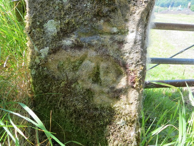
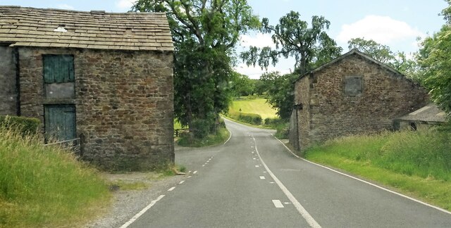
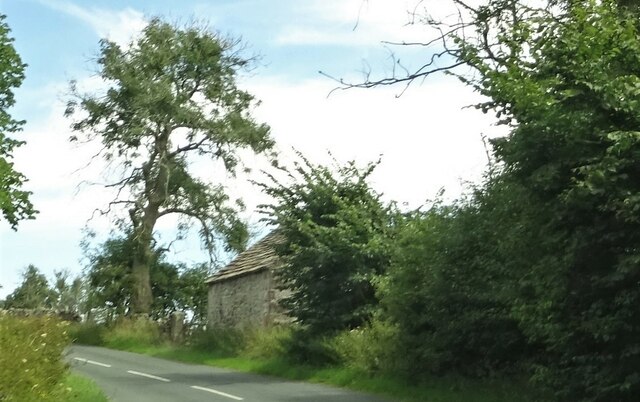
The valley is also steeped in history, with remnants of ancient settlements and industrial heritage dotting the landscape. Ruins of old mills and weirs serve as a reminder of the area's industrial past, while archaeological sites reveal evidence of human habitation dating back centuries.
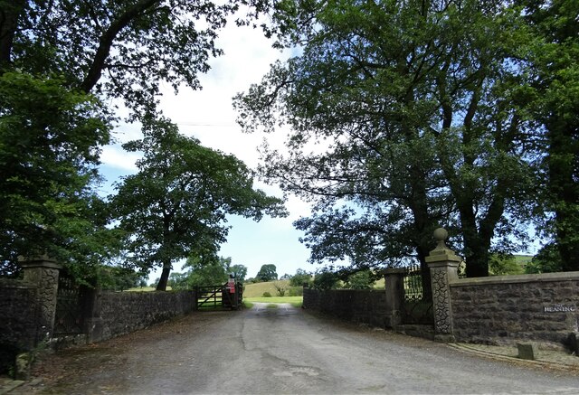
In addition to its natural and historical attractions, Dan Clough offers a range of amenities to visitors. There are charming tearooms and pubs where one can indulge in traditional Yorkshire cuisine and local beverages. Accommodation options include cozy guesthouses and bed and breakfast establishments, providing a perfect base for exploring the valley and its surroundings.
Overall, Dan Clough is a hidden gem in Yorkshire, offering a delightful blend of natural beauty, history, and tranquility for those seeking an escape from the hustle and bustle of modern life.
If you have any feedback on the listing, please let us know in the comments section below.
Dan Clough Images
Images are sourced within 2km of 53.95109/-2.4791034 or Grid Reference SD6850. Thanks to Geograph Open Source API. All images are credited.


Dan Clough is located at Grid Ref: SD6850 (Lat: 53.95109, Lng: -2.4791034)
Division: West Riding
Administrative County: Lancashire
District: Ribble Valley
Police Authority: Lancashire
What 3 Words
///brilliant.awaited.shunning. Near Waddington, Lancashire
Nearby Locations
Related Wikis

Newton-in-Bowland
Newton or Newton-in-Bowland is a village and civil parish in the Ribble Valley district, in the county of Lancashire, England, formerly known as Newton...

River Dunsop
The River Dunsop is a river in the Forest of Bowland in Northern England. It flows into the River Hodder at Dunsop Bridge.It begins at the confluence of...

Bowland Forest High
Bowland Forest High is a civil parish in the Ribble Valley district of Lancashire, England, covering some 20,000 acres (80 km2) of the Forest of Bowland...

Dunsop Bridge
Dunsop Bridge is a village in the civil parish of Bowland Forest High, in the borough of Ribble Valley, Lancashire, England, 9 miles (14 km) north-west...

Dunsop Bridge (structure)
Dunsop Bridge is a bridge in the English village of the same name. The structure, which dates to the early 19th century, crosses the River Dunsop. A Grade...

St Andrew's Church, Slaidburn
St Andrew's Church is in Church Street, Slaidburn, Lancashire, England. It is an active Anglican parish church in the deanery of Bowland, the archdeaconry...

Langden Brook
Langden Brook is a watercourse in the Trough of Bowland, Lancashire, England. A tributary of the River Hodder, its source is near the summit of Hawthornthwaite...

Bowland Forest High milestone
The Bowland Forest High milestone is an historic milestone marker in the English parish of Bowland Forest High, in the Trough of Bowland, Lancashire. A...
Nearby Amenities
Located within 500m of 53.95109,-2.4791034Have you been to Dan Clough?
Leave your review of Dan Clough below (or comments, questions and feedback).