Forber Plantation
Wood, Forest in Yorkshire Ribble Valley
England
Forber Plantation

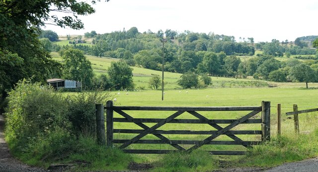
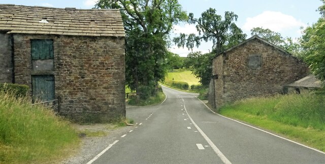
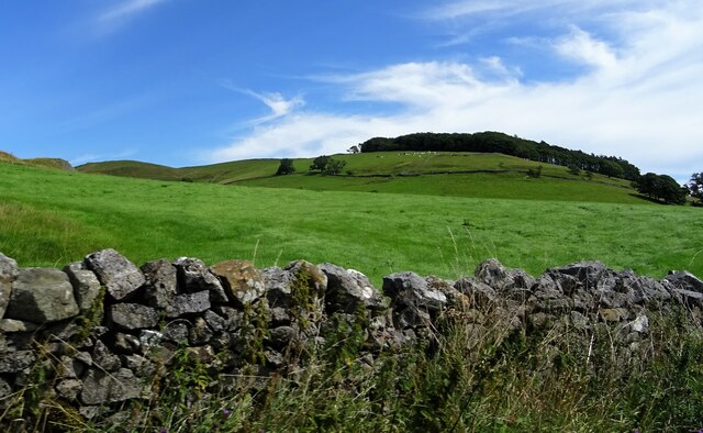
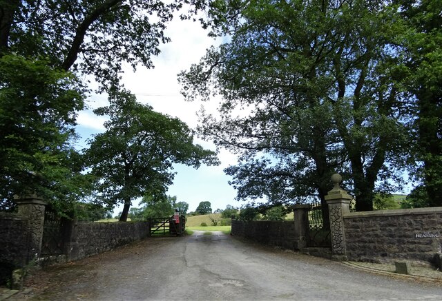
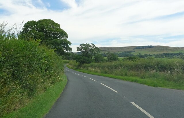
Forber Plantation, located in Yorkshire, England, is a picturesque woodland area known for its lush greenery and diverse flora and fauna. Situated in the heart of the county, the plantation covers a considerable area, providing a haven for both nature enthusiasts and casual visitors.
The woodland of Forber Plantation is predominantly composed of mature deciduous trees, such as oak, beech, and birch, interspersed with pockets of coniferous trees, including pine and spruce. This combination creates a unique ecosystem that supports a wide range of wildlife, including various bird species, small mammals, and insects.
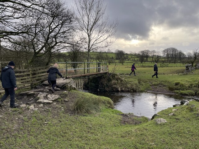
Walking through the plantation, one can witness a stunning array of wildflowers and ferns, which flourish in the fertile soil beneath the canopy. The woodland floor is adorned with bluebells in the spring, creating a breathtaking sight. The plantation is also home to several streams, adding to its natural beauty and providing a habitat for aquatic life.
Forber Plantation offers a network of well-maintained trails, allowing visitors to explore the woodland at their own pace. The pathways wind through the trees, offering glimpses of sunlight filtering through the foliage and casting dappled shadows on the forest floor.
The plantation is a popular destination for nature walks, picnics, and photography enthusiasts. It provides a tranquil escape from the hustle and bustle of everyday life, allowing visitors to immerse themselves in the serenity of nature.
Overall, Forber Plantation in Yorkshire is a captivating woodland retreat, offering a rich tapestry of natural beauty and a peaceful sanctuary for all who venture within its boundaries.
If you have any feedback on the listing, please let us know in the comments section below.
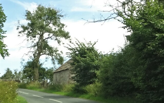
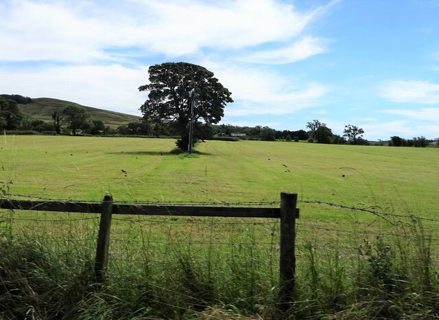
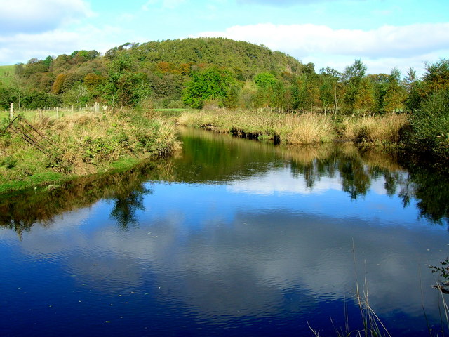
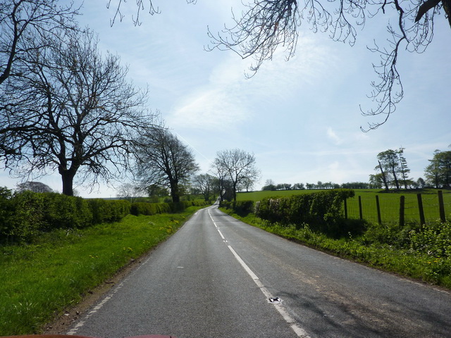
Forber Plantation Images
Images are sourced within 2km of 53.947123/-2.4798959 or Grid Reference SD6850. Thanks to Geograph Open Source API. All images are credited.


Forber Plantation is located at Grid Ref: SD6850 (Lat: 53.947123, Lng: -2.4798959)
Division: West Riding
Administrative County: Lancashire
District: Ribble Valley
Police Authority: Lancashire
What 3 Words
///waffle.forensic.thrilled. Near Waddington, Lancashire
Nearby Locations
Related Wikis

Newton-in-Bowland
Newton or Newton-in-Bowland is a village and civil parish in the Ribble Valley district, in the county of Lancashire, England, formerly known as Newton...

River Dunsop
The River Dunsop is a river in the Forest of Bowland in Northern England. It flows into the River Hodder at Dunsop Bridge.It begins at the confluence of...

Bowland Forest High
Bowland Forest High is a civil parish in the Ribble Valley district of Lancashire, England, covering some 20,000 acres (80 km2) of the Forest of Bowland...

Dunsop Bridge
Dunsop Bridge is a village in the civil parish of Bowland Forest High, in the borough of Ribble Valley, Lancashire, England, 9 miles (14 km) north-west...

Dunsop Bridge (structure)
Dunsop Bridge is a bridge in the English village of the same name. The structure, which dates to the early 19th century, crosses the River Dunsop. A Grade...

Langden Brook
Langden Brook is a watercourse in the Trough of Bowland, Lancashire, England. A tributary of the River Hodder, its source is near the summit of Hawthornthwaite...

Bowland Forest High milestone
The Bowland Forest High milestone is an historic milestone marker in the English parish of Bowland Forest High, in the Trough of Bowland, Lancashire. A...

St Andrew's Church, Slaidburn
St Andrew's Church is in Church Street, Slaidburn, Lancashire, England. It is an active Anglican parish church in the deanery of Bowland, the archdeaconry...
Nearby Amenities
Located within 500m of 53.947123,-2.4798959Have you been to Forber Plantation?
Leave your review of Forber Plantation below (or comments, questions and feedback).