Cat Cleuch
Valley in Roxburghshire
Scotland
Cat Cleuch
Cat Cleuch is a picturesque valley located in the region of Roxburghshire, Scotland. Situated amidst the rolling hills and lush greenery, this valley is a haven for nature enthusiasts and outdoor adventurers. The name "Cat Cleuch" originates from the Scottish Gaelic term "cleuch," meaning a narrow, steep-sided valley.
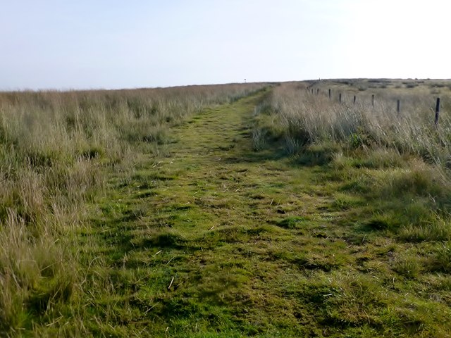
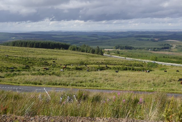
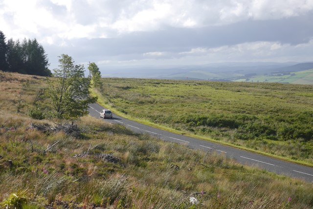
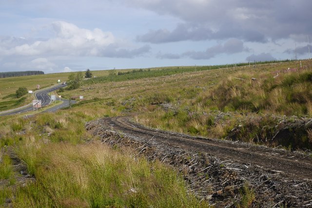
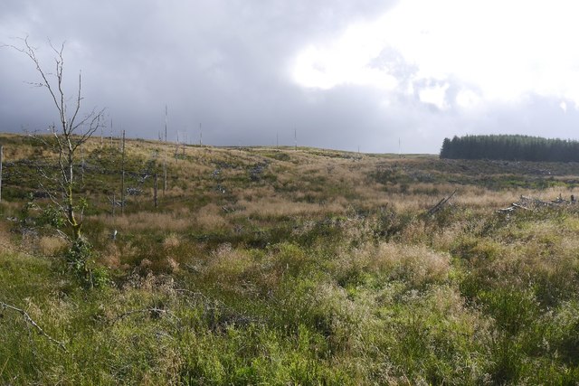
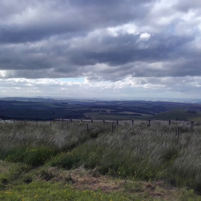
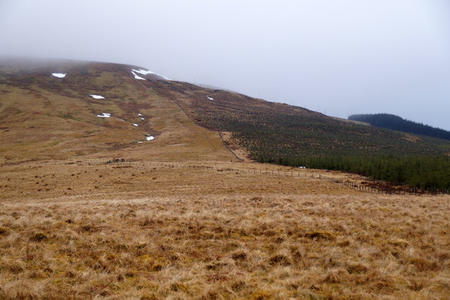
The valley is characterized by its stunning natural beauty, with steep slopes covered in heather and grasses, interspersed with rocky outcrops and meandering streams. The surrounding hills provide a breathtaking backdrop to the valley, creating a tranquil and idyllic atmosphere.
Cat Cleuch is particularly renowned for its diverse wildlife and rich biodiversity. The valley is home to a variety of bird species, including buzzards, kestrels, and peregrine falcons, making it a popular spot for birdwatching. Other wildlife such as red deer, foxes, and hares can also be spotted in the area.
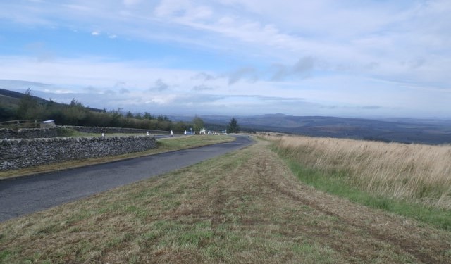
For those seeking outdoor activities, Cat Cleuch offers numerous opportunities for hiking and walking. There are several well-marked trails that wind through the valley, allowing visitors to explore its natural wonders. The paths lead to stunning viewpoints, offering panoramic vistas of the surrounding countryside.
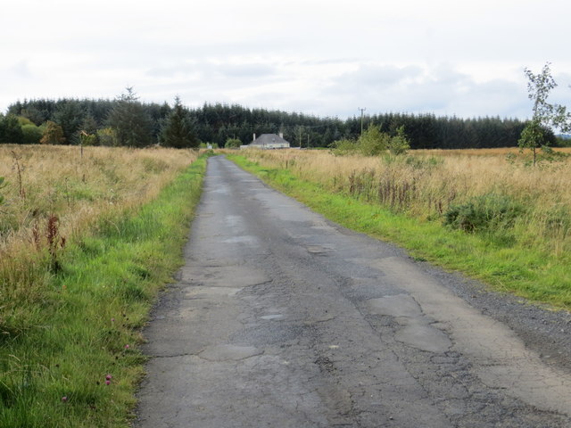
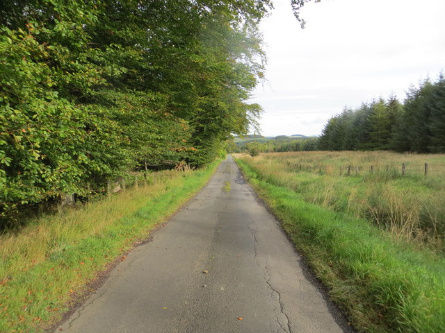
Despite its remote location, Cat Cleuch is easily accessible by car or foot, with parking facilities available nearby. The valley's peaceful ambiance and unspoiled natural landscapes make it a must-visit destination for those looking to immerse themselves in the beauty of the Scottish countryside.
If you have any feedback on the listing, please let us know in the comments section below.
Cat Cleuch Images
Images are sourced within 2km of 55.352319/-2.5010095 or Grid Reference NT6806. Thanks to Geograph Open Source API. All images are credited.


Cat Cleuch is located at Grid Ref: NT6806 (Lat: 55.352319, Lng: -2.5010095)
Unitary Authority: The Scottish Borders
Police Authority: The Lothians and Scottish Borders
What 3 Words
///another.newer.vintages. Near Jedburgh, Scottish Borders
Nearby Locations
Related Wikis

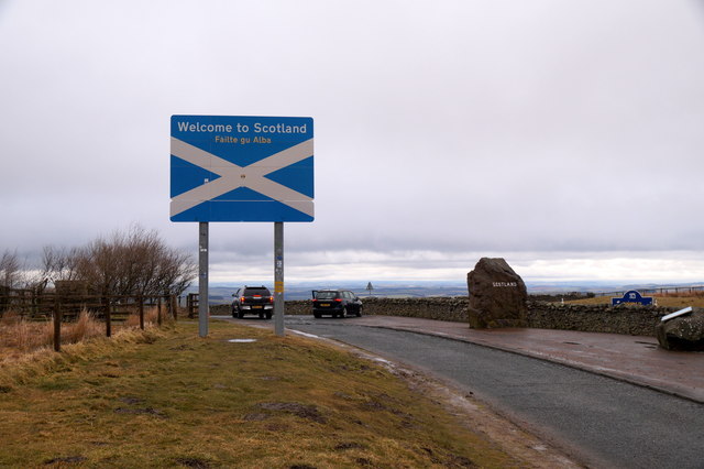
Scottish Borders
The Scottish Borders (Scots: the Mairches, lit. 'the Marches'; Scottish Gaelic: Crìochan na h-Alba) is one of 32 council areas of Scotland. It is bordered...

Carter Bar
Carter Bar is a pass in the Cheviot Hills, on the Anglo-Scottish border. It lies east of Carter Fell at the head of Redesdale, and is crossed by the A68...
Raid of the Redeswire
The Raid of the Redeswire, also known as the Redeswire Fray, was a border skirmish between England and Scotland on 7 July 1575 which took place at Carter...

Whitelee Moor
Whitelee Moor is nature reserve of the Northumberland Wildlife Trust, in Northumberland, England, near Carter Bar. A large part of the moor is blanket...
Have you been to Cat Cleuch?
Leave your review of Cat Cleuch below (or comments, questions and feedback).