Cautley Spout Tongue

Valley in Yorkshire South Lakeland

England

Cautley Spout Tongue

View of moorland through field gate at High House
View of moorland through field gate at High House Credit: Roger Templeman

Cautley Spout, located in the picturesque valley of the River Rawthey, is an impressive waterfall situated in the village of Sedbergh, Yorkshire. Also known as Cautley Tongue, it is considered England's highest cascade waterfall, with a total drop of approximately 650 feet (198 meters). This natural marvel attracts visitors from far and wide, drawn by its breathtaking beauty and the surrounding stunning landscape.

The waterfall is formed by the water flowing down the steep slopes of Cautley Holme Beck, an adjacent stream. As the water plunges down the rocky face, it creates a mesmerizing spectacle, especially during periods of heavy rainfall when the cascade is at its most powerful. The waterfall is flanked by craggy cliffs, covered in lush greenery, which further enhances the scenic charm of the area.

To reach the foot of Cautley Spout, visitors can embark on a relatively challenging hike, following a path that winds through the valley and offers stunning panoramic views along the way. The trail is well-maintained but requires a moderate level of fitness, making it a popular spot for walkers, hikers, and nature enthusiasts seeking a rewarding outdoor experience.

The surrounding area of Cautley Spout offers ample opportunities for exploration, with several other waterfalls and scenic walks nearby. Nature lovers can enjoy the diverse flora and fauna, including rare alpine plants that thrive in this unique environment.

Overall, Cautley Spout Tongue stands as a testament to the natural wonders of Yorkshire, captivating visitors with its grandeur and beauty.

If you have any feedback on the listing, please let us know in the comments section below.

Cautley Spout Tongue Images

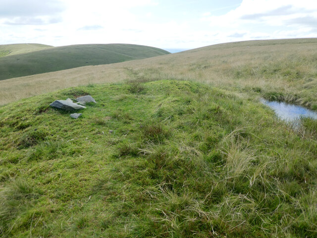
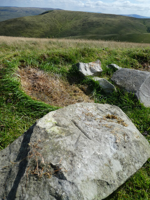
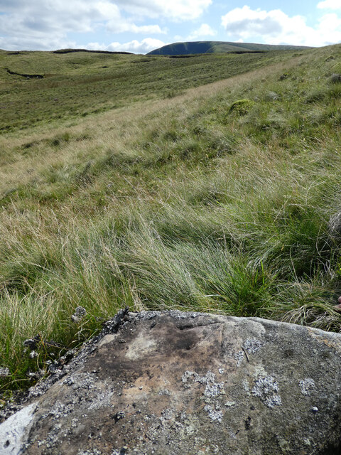
Images are sourced within 2km of 54.371305/-2.4891875 or Grid Reference SD6897. Thanks to Geograph Open Source API. All images are credited.

View of moorland through field gate at High House
Moorland on north side of barn at High House
OS Bench Mark OS cut bench mark above Cautley Spout in the Howgill Fells, from the first, 19th century, levelling. 1355.9 feet above old datum. Some gardening was necessary to reveal it, but the covering of moss had prevented any weathering.
OS Bench Mark
OS cut bench mark above Cautley Spout in the Howgill Fells, from the first, 19th century, levelling. 1355.9 feet above old datum. Some gardening was necessary to reveal it, but the covering of moss had prevented any weathering.
OS Bench Mark Boulder bearing an OS cut bench mark above Cautley Spout in the Howgill Fells, from the first, 19th century, levelling. 1557.8 feet above old datum. 
A close-up of the bench mark is shown in <a href="https://www.geograph.org.uk/photo/6941428">SD6797 : OS Bench Mark</a>.
OS Bench Mark
Boulder bearing an OS cut bench mark above Cautley Spout in the Howgill Fells, from the first, 19th century, levelling. 1557.8 feet above old datum. A close-up of the bench mark is shown in SD6797 : OS Bench Mark.
OS Bench Mark OS cut bench mark above Cautley Spout in the Howgill Fells, from the first, 19th century, levelling. 1557.8 feet above old datum. The angle of the sun, and the weathering of the rock, makes this bench mark very hard to image. See <a href="https://www.geograph.org.uk/photo/6941422">SD6797 : OS Bench Mark</a> for a wider view.
OS Bench Mark
OS cut bench mark above Cautley Spout in the Howgill Fells, from the first, 19th century, levelling. 1557.8 feet above old datum. The angle of the sun, and the weathering of the rock, makes this bench mark very hard to image. See SD6797 : OS Bench Mark for a wider view.
OS Bench Mark OS cut bench mark above Cautley Spout in the Howgill Fells, from the first, 19th century, levelling. 1613.7 feet above old datum. A close-up is shown in <a href="https://www.geograph.org.uk/photo/6941442">SD6797 : OS Bench Mark</a>.
OS Bench Mark
OS cut bench mark above Cautley Spout in the Howgill Fells, from the first, 19th century, levelling. 1613.7 feet above old datum. A close-up is shown in SD6797 : OS Bench Mark.
OS Bench Mark Close-up of the OS cut bench mark above Cautley Spout in the Howgill Fells shown in <a href="https://www.geograph.org.uk/photo/6941433">SD6797 : OS Bench Mark</a>. 1613.7 feet above old datum.
OS Bench Mark
Close-up of the OS cut bench mark above Cautley Spout in the Howgill Fells shown in SD6797 : OS Bench Mark. 1613.7 feet above old datum.
'Standing stone' The 1895, 1910 and 1920 6" OS maps mark a 'Standing Stone' here, although it is not in the Gothic typeface used to indicate an antiquity. All that remains is a few rocks on a small mound. An OS bench mark is also shown a few metres to the north-west - see <a href="https://www.geograph.org.uk/photo/6941461">SD6797 : OS Bench Mark</a>.
'Standing stone'
The 1895, 1910 and 1920 6" OS maps mark a 'Standing Stone' here, although it is not in the Gothic typeface used to indicate an antiquity. All that remains is a few rocks on a small mound. An OS bench mark is also shown a few metres to the north-west - see SD6797 : OS Bench Mark.
OS Bench Mark OS cut bench mark near The Calf in the Howgill Fells, from the first, 19th century, levelling. 2194.2 feet above old datum.
This is coincident with the 'standing stone' seen in <a href="https://www.geograph.org.uk/photo/6941450">SD6797 : 'Standing stone'</a>, but old maps show the bench mark a few metres to the northwest. The rock bearing the bench mark was face-down, so has presumably been moved to make this small pile. What has happened to the standing stone is a mystery.
OS Bench Mark
OS cut bench mark near The Calf in the Howgill Fells, from the first, 19th century, levelling. 2194.2 feet above old datum. This is coincident with the 'standing stone' seen in SD6797 : 'Standing stone', but old maps show the bench mark a few metres to the northwest. The rock bearing the bench mark was face-down, so has presumably been moved to make this small pile. What has happened to the standing stone is a mystery.
OS Bench Mark OS cut bench mark above Bowderdale Head in the Howgill Fells, from the first, 19th century, levelling. 1581.8 feet above old datum. A close-up is shown in <a href="https://www.geograph.org.uk/photo/6941473">SD6797 : OS Bench Mark</a>.
OS Bench Mark
OS cut bench mark above Bowderdale Head in the Howgill Fells, from the first, 19th century, levelling. 1581.8 feet above old datum. A close-up is shown in SD6797 : OS Bench Mark.
OS Bench Mark Close-up of the OS cut bench mark above Bowderdale Head in the Howgill Fells shown in <a href="https://www.geograph.org.uk/photo/6941468">SD6797 : OS Bench Mark</a>. 1581.8 feet above old datum. The survey point is a cross rather than the usual ‘dimple’. Some cleaning was necessary.
OS Bench Mark
Close-up of the OS cut bench mark above Bowderdale Head in the Howgill Fells shown in SD6797 : OS Bench Mark. 1581.8 feet above old datum. The survey point is a cross rather than the usual ‘dimple’. Some cleaning was necessary.
OS Bench Mark OS cut bench mark above Bowderdale Head in the Howgill Fells, from the first, 19th century, levelling. 1467.4 feet above old datum. The survey point is a cross rather than the usual ‘dimple’, but quite faint.
OS Bench Mark
OS cut bench mark above Bowderdale Head in the Howgill Fells, from the first, 19th century, levelling. 1467.4 feet above old datum. The survey point is a cross rather than the usual ‘dimple’, but quite faint.
Low Haygarth Ford This bridleway ford is shown on the fingerpost as a deep ford and there is no other means of crossing the beck at this location.
Low Haygarth Ford
This bridleway ford is shown on the fingerpost as a deep ford and there is no other means of crossing the beck at this location.
Footbridge over the River Rawthey
Cautley Spout in the Howgill Fells
Cautley Holme Beck
Cautley Holme Beck
Sheepfold beside Red Gill Beck
Trig pillar on The Calf, 677m
Show me another place!

Cautley Spout Tongue is located at Grid Ref: SD6897 (Lat: 54.371305, Lng: -2.4891875)

Division: West Riding

Administrative County: Cumbria

District: South Lakeland

Police Authority: Cumbria

What 3 Words

///unhappy.newlywed.medium. Near Sedbergh, Cumbria

Related Wikis

Yarlside

Yarlside is a hill in the Howgill Fells, Cumbria (historically Westmorland), England. This fell is not to be confused with the Yarlside area near Barrow...
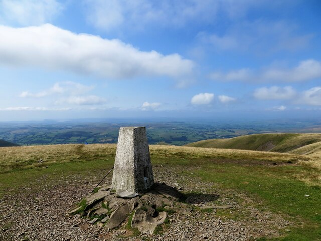
The Calf

The Calf, at an elevation of 676 metres (2,218 ft), is the highest point in the Howgill Fells, an area of high ground in north-west England. It is in the...

Calders (Yorkshire Dales)

Calders is a summit of 2,211 feet (674 m) in the Howgill Fells, Cumbria, England. It lies about 2⁄3 mile (1 km) south east of the summit of The Calf and...

Randygill Top

Randygill Top is a mountain located in the Howgill Fells, Cumbria (historically Westmorland), England. == References ==

Nearby Amenities

Located within 500m of 54.371305,-2.4891875
Ford: yes
Lat/Long: 54.3720019/-2.4889576
Ford: yes
Lat/Long: 54.3714366/-2.4945926
Cautley Spout Tongue
Place: locality
Lat/Long: 54.3716356/-2.4907931
Waterway: waterfall
Lat/Long: 54.3718938/-2.4937755
Waterway: waterfall
Lat/Long: 54.3717984/-2.4939751
Cautley Spout
Description: Top of.
Height: 198
Image: https://www.geograph.org.uk/photo/243601
Waterway: waterfall
Wikidata: Q37390
Wikipedia: en:Cautley Spout
Lat/Long: 54.3722258/-2.4931385
Ford: stepping_stones
Lat/Long: 54.3721956/-2.4944264
Waterway: waterfall
Lat/Long: 54.3718438/-2.4897086
The data included in this document is from www.openstreetmap.org. The data is made available under ODbL.

Have you been to Cautley Spout Tongue?

Leave your review of Cautley Spout Tongue below (or comments, questions and feedback).