Steel Cleugh

Valley in East Lothian

Scotland

Steel Cleugh

Woodhall Dean Nature reserve managed by the Scottish Wildlife Trust.
Woodhall Dean Credit: Callum Black

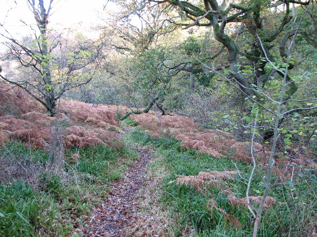
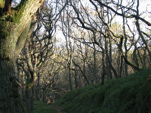
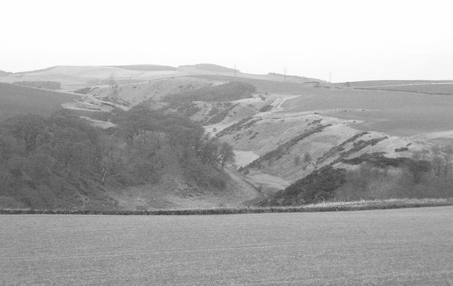
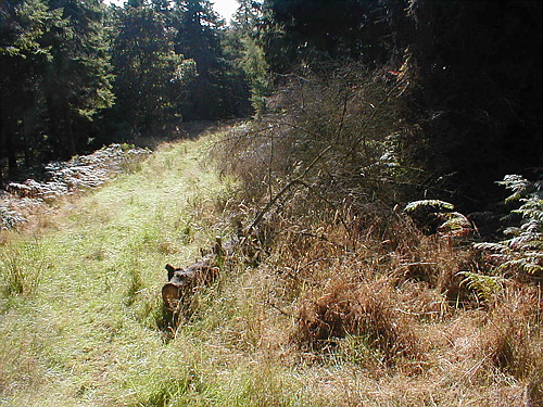
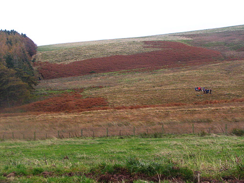
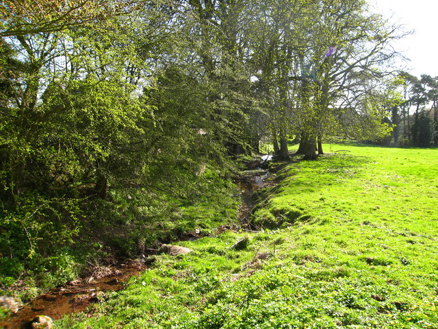
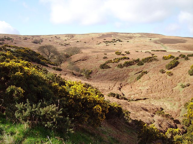
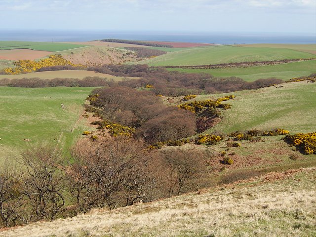
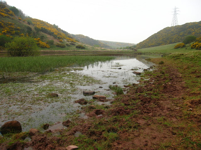
Steel Cleugh is a picturesque valley located in East Lothian, Scotland. Nestled between rolling hills and surrounded by lush greenery, it is a haven of natural beauty. The valley stretches for approximately two miles and is traversed by a small stream, which adds to its charm.

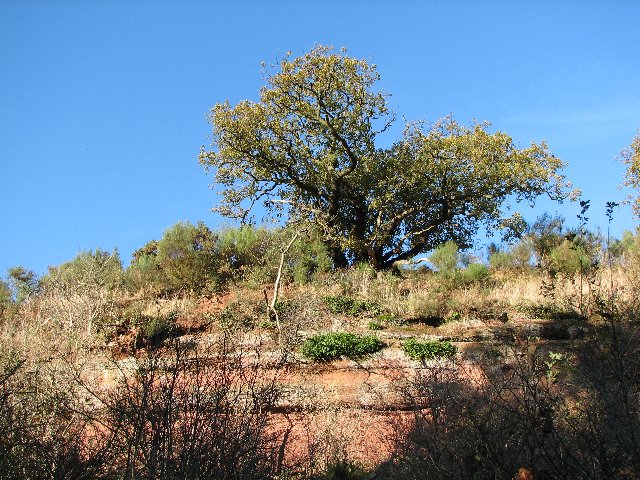
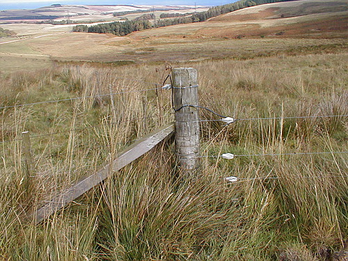
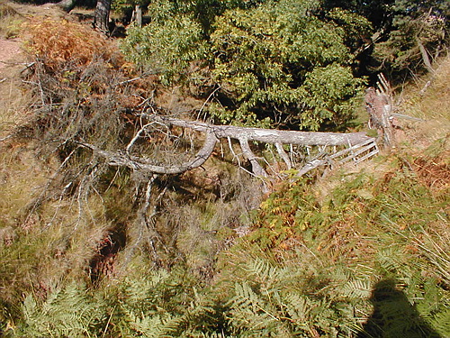
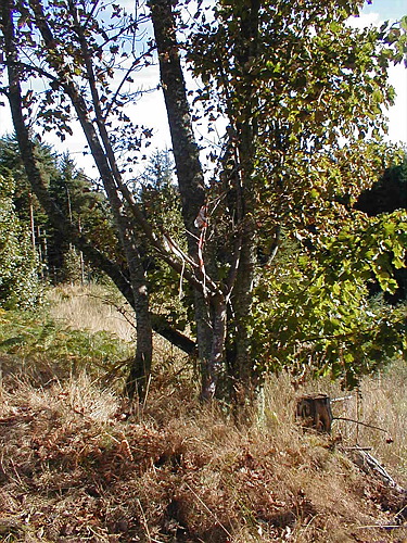
The landscape of Steel Cleugh is characterized by its gentle slopes and meadows, making it an ideal location for hiking and nature walks. The area is known for its diverse flora and fauna, with an abundance of wildflowers, native plants, and various species of birds and small mammals.

The valley has a rich history, with evidence of human habitation dating back to prehistoric times. Archaeological remains, including stone circles and burial mounds, suggest that the area was once a significant settlement in ancient times.

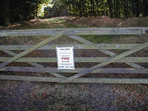
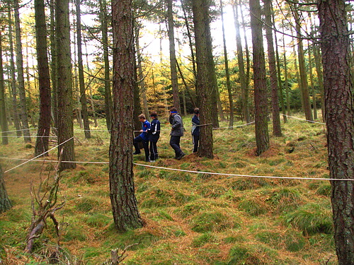
Today, Steel Cleugh is a popular destination for outdoor enthusiasts and nature lovers. The valley offers numerous walking trails, allowing visitors to explore its natural wonders at their own pace. The peaceful ambiance and breathtaking views make it a perfect spot for relaxation and contemplation.

In addition to its natural beauty, Steel Cleugh also boasts several historic landmarks. The nearby village of Gifford is home to a 14th-century church, which attracts history buffs and architecture enthusiasts.

Overall, Steel Cleugh is a hidden gem in East Lothian, offering a tranquil escape from the bustling city life. Its idyllic scenery, rich history, and abundance of recreational activities make it a must-visit destination for those seeking a peaceful retreat in the heart of Scotland.

If you have any feedback on the listing, please let us know in the comments section below.
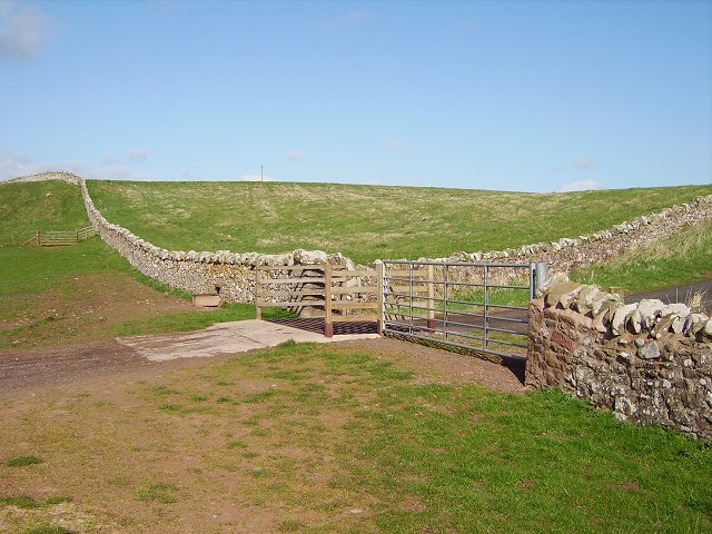
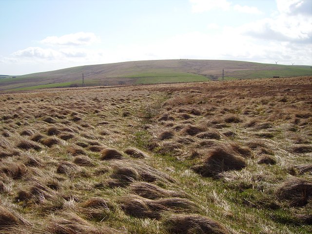
Steel Cleugh Images

Images are sourced within 2km of 55.938646/-2.5292213 or Grid Reference NT6771. Thanks to Geograph Open Source API. All images are credited.

Woodhall Dean Nature reserve managed by the Scottish Wildlife Trust.
Woodhall Dean
Nature reserve managed by the Scottish Wildlife Trust.
Oak wood Oak trees at Woodhall Dean.
Oak wood
Oak trees at Woodhall Dean.
Newly planted field The trees are in the square to the north.
Newly planted field
The trees are in the square to the north.
Oak tree on cliff In Woodhall Dean.  The cliff, on one side of a short ravine has probably been created by an old river.
Oak tree on cliff
In Woodhall Dean. The cliff, on one side of a short ravine has probably been created by an old river.
A cleugh under the Brunt. Steep sided glen behind the Brunt. View W towards Deucharie Dod.
A cleugh under the Brunt.
Steep sided glen behind the Brunt. View W towards Deucharie Dod.
Looking to the Forth On the side of Bransly Hill, looking towards the Firth of Forth. High Wood is in the foreground. This is a very boggy moor area with cattle grazing.
Looking to the Forth
On the side of Bransly Hill, looking towards the Firth of Forth. High Wood is in the foreground. This is a very boggy moor area with cattle grazing.
Windblown tree Wind blown tree at the edge of the High Wood. It has fallen across a wee stream gulley.
Windblown tree
Wind blown tree at the edge of the High Wood. It has fallen across a wee stream gulley.
Gate into the High Wood Gate into the High Wood
Gate into the High Wood
High Wood On the lower track through the High Wood. Not sure why this tree had been marked. Some of this area is now felled.
High Wood
On the lower track through the High Wood. Not sure why this tree had been marked. Some of this area is now felled.
Woodland Path Path through the High Wood. is wood is a mix of old deciduous and newer coniferous trees
Woodland Path
Path through the High Wood. is wood is a mix of old deciduous and newer coniferous trees
Moor beside High Wood Looking up along the edge of High Wood, with swathes of bracken across the moor. The children in the photo are doing a challenge walk.
Moor beside High Wood
Looking up along the edge of High Wood, with swathes of bracken across the moor. The children in the photo are doing a challenge walk.
Tree Challenge in the High Wood Pupils do a blindfold challenge in the High Wood, trying to follow a line blindfolded.
Tree Challenge in the High Wood
Pupils do a blindfold challenge in the High Wood, trying to follow a line blindfolded.
Gairy Burn at Halls, near Spott Halls is a hamlet of a few houses and a farm in East Lothian.
Gairy Burn at Halls, near Spott
Halls is a hamlet of a few houses and a farm in East Lothian.
Herring Road, Hartside End of the tarred surface on the old trade route inland from Dunbar. From here it is 22 mostly moorland miles to Lauder.
Herring Road, Hartside
End of the tarred surface on the old trade route inland from Dunbar. From here it is 22 mostly moorland miles to Lauder.
Ox Cleuch One of several gullies in Lothian Edge. Bracken is a problem here, fortunately it is still dormant underground. Later in the year this scene will be a very different colour.  The steep slopes are part of the Southern Upland boundary fault, leading up to 300m plateau over the skyline.
Ox Cleuch
One of several gullies in Lothian Edge. Bracken is a problem here, fortunately it is still dormant underground. Later in the year this scene will be a very different colour. The steep slopes are part of the Southern Upland boundary fault, leading up to 300m plateau over the skyline.
Cross Burn Dean, wooded with birches just coming into leaf. Here the Cross Burn leaves the sharp cleft of Dryden How and turns north towards Spott.
Cross Burn
Dean, wooded with birches just coming into leaf. Here the Cross Burn leaves the sharp cleft of Dryden How and turns north towards Spott.
Linear marsh, Watch Law The hillside is mostly quite dry, but here a long wet channel provides some drainage. Ideal habitat for Snipe (Gallinago gallinago). Bransly Hill in the distance.
Linear marsh, Watch Law
The hillside is mostly quite dry, but here a long wet channel provides some drainage. Ideal habitat for Snipe (Gallinago gallinago). Bransly Hill in the distance.
Black Loch In a wide Lammermuir cleugh, grazed by cattle.
Black Loch
In a wide Lammermuir cleugh, grazed by cattle.
Show me another place!

Steel Cleugh is located at Grid Ref: NT6771 (Lat: 55.938646, Lng: -2.5292213)

Unitary Authority: East Lothian

Police Authority: The Lothians and Scottish Borders

What 3 Words

///helper.sharpened.shave. Near Dunbar, East Lothian

Nearby Locations

Steel Cleugh

Related Wikis

Spott, East Lothian

Spott is a small village on the eastern fringes of East Lothian in Scotland, just over 2 miles (3.2 km) south-west of Dunbar. The village straddles an...

Battle of Dunbar (1296)

The Battle of Dunbar was the only significant field action of the campaign of 1296 during the beginning of the First War of Scottish Independence. ��2...

Pressmennan Lake

Pressmennan Lake is a lake in East Lothian in Scotland. It is an artificial reservoir constructed in 1819 by a Mr Nesbit who dammed the streams flowing...

Crystal Rig Wind Farm

Crystal Rig Wind Farm is an operational onshore wind farm located on the Lammermuir Hills in the Scottish Borders region of Scotland. When phase 1 was...

Nearby Amenities

Located within 500m of 55.938646,-2.5292213
Black Law
Natural: peak
Lat/Long: 55.9375708/-2.5362861
The data included in this document is from www.openstreetmap.org. The data is made available under ODbL.

Have you been to Steel Cleugh?

Leave your review of Steel Cleugh below (or comments, questions and feedback).