Leaden Roding

Settlement in Essex Uttlesford

England

Leaden Roding

Sunset over Clatterford End
Sunset over Clatterford End Credit: David Howard

Leaden Roding is a small village located in the county of Essex, England. Situated approximately 8 miles northwest of the town of Chelmsford, it falls within the administrative district of Uttlesford. The village is surrounded by picturesque countryside and is known for its charming rural setting.

Historically, Leaden Roding has a rich heritage, with evidence of human habitation dating back to the Roman era. The village's name is believed to originate from the Old English term "Hleodenu" meaning "valley of the people." Over the centuries, Leaden Roding grew as an agricultural community, with farming and the rearing of livestock being the primary sources of income for its residents.

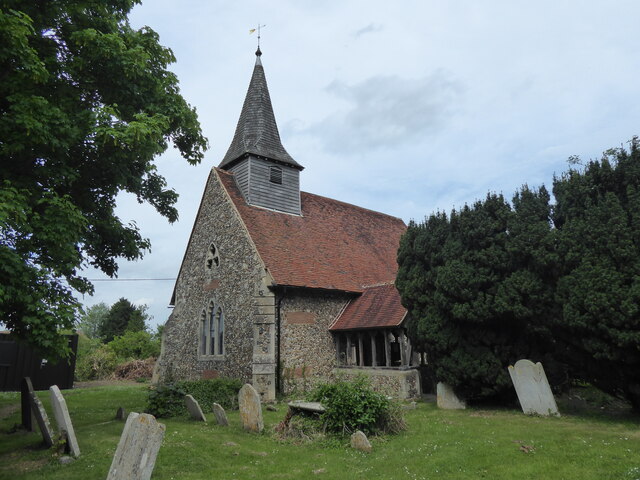
Today, Leaden Roding retains much of its traditional character and offers a peaceful and idyllic retreat for its approximately 350 residents. The village features a mix of architectural styles, including timber-framed thatched cottages and more modern brick houses. The historic St. Michael's Church, dating back to the 12th century, is a prominent landmark in the village.

Leaden Roding benefits from a close-knit community that actively participates in various local events and organizations. It has a village hall that serves as a hub for social gatherings and activities. The village also boasts a primary school, providing education for local children.

Despite its tranquility, Leaden Roding enjoys good transport links to the nearby towns and cities. The A1060 road runs through the village, connecting it to Chelmsford and the wider road network. Overall, Leaden Roding offers a charming, quintessentially English village experience in the heart of Essex.

If you have any feedback on the listing, please let us know in the comments section below.

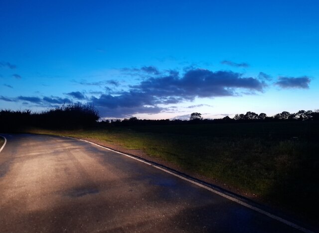
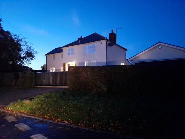
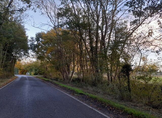
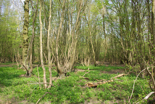
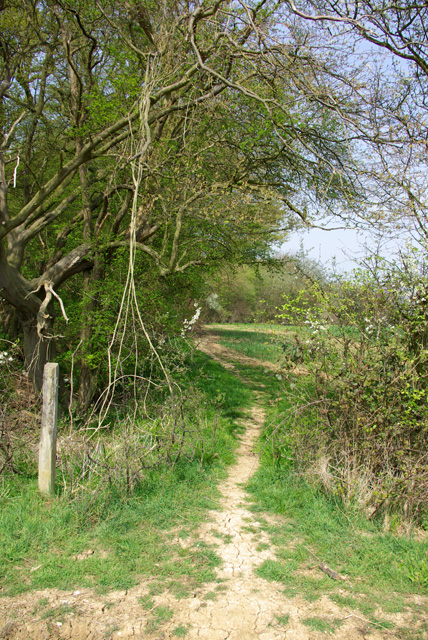
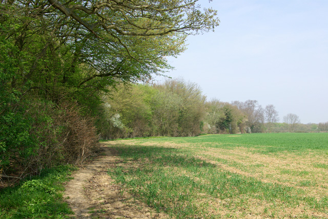
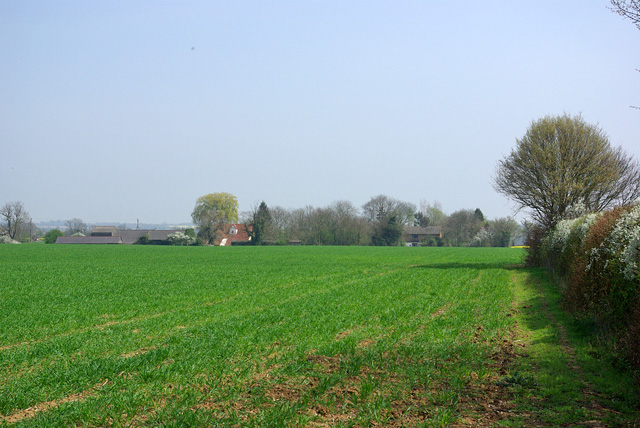
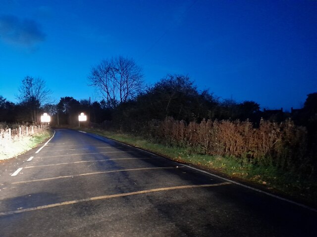
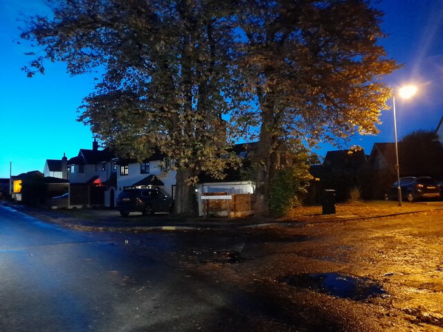
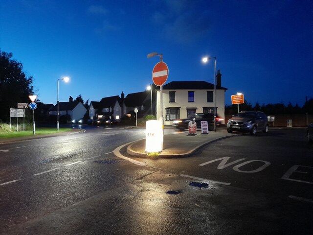
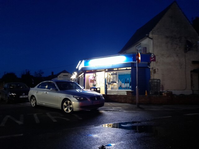
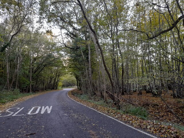
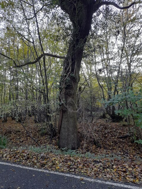
Leaden Roding Images

Images are sourced within 2km of 51.797378/0.311003 or Grid Reference TL5913. Thanks to Geograph Open Source API. All images are credited.

Sunset over Clatterford End
House on High Easter Road The garage has arrived since 2009
House on High Easter Road
The garage has arrived since 2009
House on High Easter Road
High Easter Road leaving Leaden Roding
High Easter Road, Clatterford End
Skinsley Wood Hornbeam coppice.
Skinsley Wood
Hornbeam coppice.
Footpath at corner of Skinsley Wood Wood on left, hedgerow on right.
Footpath at corner of Skinsley Wood
Wood on left, hedgerow on right.
Public footpath along edge of Skinsley Wood The farmer is not giving much away.
Public footpath along edge of Skinsley Wood
The farmer is not giving much away.
Crippings Looking from the edge of Skinsley Wood. It is in the parish of High Easter, but closer to Leaden Roding.
Crippings
Looking from the edge of Skinsley Wood. It is in the parish of High Easter, but closer to Leaden Roding.
High Easter Road, Leaden Roding
High Easter Road at the junction of Lordswood View
Chelmsford Road at the junction of High Easter Road
Corner shop in Leaden Roding
High Easter Road, Leaden Roding
Tree by High Easter Road, Leaden Roding
Leaden Roding, St Michael
The edge of Chase Wood The woods here have a lot of old Hornbeam coppice, and are good for the usual Chalky Boulder Clay woodland orchids.
The edge of Chase Wood
The woods here have a lot of old Hornbeam coppice, and are good for the usual Chalky Boulder Clay woodland orchids.
Show me another place!

Leaden Roding is located at Grid Ref: TL5913 (Lat: 51.797378, Lng: 0.311003)

Administrative County: Essex

District: Uttlesford

Police Authority: Essex

What 3 Words

///tested.cluttered.nosedive. Near Hatfield Heath, Essex

Related Wikis

Leaden Roding

Leaden Roding is a village and civil parish in the Uttlesford district of Essex, England. The village is included in the eight hamlets and villages called...

The Rodings

The Rodings are a group of eight villages in the upper part of the River Roding and the west of Essex, England, the largest group in the country to bear...

Margaret Roding

Margaret Roding is a village and civil parish in the Uttlesford district of Essex, England. The village is included in the eight hamlets and villages called...

Aythorpe Roding Windmill

Aythorpe Roding Windmill is a Grade II* listed Post mill at Aythorpe Roding, Essex, England which has been restored to working order. == History == Aythorpe...

Aythorpe Roding

Aythorpe Roding is a village and civil parish in the Uttlesford district of Essex, England. The village is included in the eight hamlets and villages called...

Clatterford End, High Easter

Clatterford End is a hamlet partly in the High Easter civil parish of the Uttlesford district, and partly in the Good Easter parish of the Chelmsford district...

High Easter

High Easter is a village and a civil parish in the Uttlesford district of Essex, England. The village is 7 miles (11 km) northwest from the city of and...

White Roding Windmill

White Roding Windmill is a Grade II listed preserved tower mill at White Roding, Essex, England. == History == White Roding Windmill was built in 1877...

Related Videos

Tree Surgeon

Tree Surgeon https://garwoodstreeservices.co.uk Garwood's Tree Services provide a complete range of professional tree surgery ...

Nearby Amenities

Located within 500m of 51.797378,0.311003
Mini Roundabout
Direction: clockwise
Lat/Long: 51.7961587/0.3111608
Leaden Roding
Place: village
Source: gps survey
Lat/Long: 51.7972788/0.3119963
Bus Stop
Chalk Villas
Bus: yes
Naptan AtcoCode: 150002001023
Naptan Bearing: S
Naptan CommonName: Chalk Villas
Naptan Crossing: High Easter Road
Naptan Indicator: o/s
Naptan Landmark: Chalk Villas
Naptan NaptanCode: esxatwdp
Naptan Street: Chelmsford Road
Naptan Verified: no
Public Transport: platform
Source: naptan_import
Lat/Long: 51.7940918/0.3116184
Bus Stop
Chalk Villas
Bus: yes
Naptan AtcoCode: 150002001024
Naptan Bearing: N
Naptan CommonName: Chalk Villas
Naptan Crossing: High Easter Road
Naptan Indicator: Opp
Naptan Landmark: Chalk Villas
Naptan NaptanCode: esxatwdt
Naptan Street: Chelmsford Road
Naptan Verified: no
Public Transport: platform
Source: naptan_import
Lat/Long: 51.7945824/0.3113679
Bus Stop
Village Hall
Bus: yes
Naptan AtcoCode: 150020011002
Naptan Bearing: SW
Naptan CommonName: Village Hall
Naptan Crossing: Chelmsford Road
Naptan Indicator: Opp
Naptan Landmark: Village Hall
Naptan NaptanCode: esxdgdwp
Naptan Street: Stortford Road
Naptan Verified: no
Public Transport: platform
Source: naptan_import
Lat/Long: 51.7959898/0.3083942
Bus Stop
Village Hall
Bus: yes
Naptan AtcoCode: 1500IM1150
Naptan Bearing: E
Naptan CommonName: Village Hall
Naptan Crossing: Chelmsford Road
Naptan Indicator: o/s
Naptan Landmark: Village Hall
Naptan NaptanCode: esxdgdwm
Naptan Street: Stortford Road
Naptan Verified: no
Public Transport: platform
Source: naptan_import
Lat/Long: 51.7961432/0.3088226
Rodings Primary School
Naptan AtcoCode: 1500LRDNGFS
Naptan Bearing: NW
Naptan BusStopType: CUS
Naptan CommonName: Rodings Primary School
Naptan Indicator: o/s
Naptan Landmark: Rodings Primary School
Naptan NaptanCode: esxadpdj
Naptan Street: Dunmow Road
Naptan Verified: no
Public Transport: platform
Source: naptan_import
Lat/Long: 51.7989488/0.3097492
Rodings Primary School
Naptan AtcoCode: 1500LRDNGFSA
Naptan Bearing: SE
Naptan BusStopType: CUS
Naptan CommonName: Rodings Primary School
Naptan Indicator: Opp
Naptan Landmark: Rodings Primary School
Naptan NaptanCode: esxgpdtw
Naptan Street: Dunmow Road
Naptan Verified: no
Public Transport: platform
Source: naptan_import
Lat/Long: 51.798999/0.3099403
Crossing
Crossing: unmarked
Crossing Island: yes
Tactile Paving: yes
Lat/Long: 51.7963067/0.3113848
Crossing
Crossing: marked
Crossing Island: no
Tactile Paving: yes
Lat/Long: 51.7985612/0.3101477
The data included in this document is from www.openstreetmap.org. The data is made available under ODbL.

Have you been to Leaden Roding?

Leave your review of Leaden Roding below (or comments, questions and feedback).