Leaden Roding Woods
Wood, Forest in Essex Uttlesford
England
Leaden Roding Woods

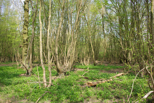
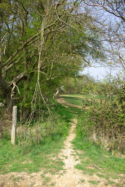
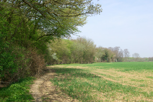
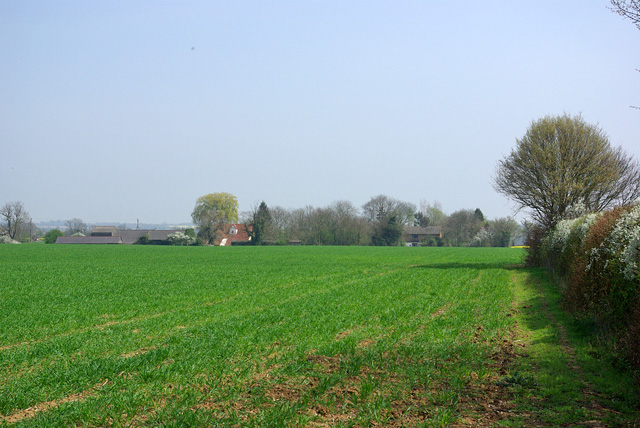
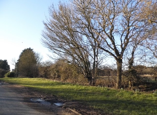
Leaden Roding Woods is a picturesque woodland area located in the county of Essex, England. Covering an area of approximately 20 acres, the woodland is known for its natural beauty and diverse range of flora and fauna. It is situated near the village of Leaden Roding, which is nestled in the heart of the Essex countryside.
The woods are primarily composed of native tree species such as oak, beech, birch, and hornbeam, creating a dense and vibrant canopy that offers ample shade and shelter. The forest floor is adorned with an array of wildflowers, including bluebells, primroses, and wood anemones, which add a splash of color to the landscape during the spring and summer months.
Leaden Roding Woods is a haven for wildlife, providing a habitat for various species of birds, small mammals, and insects. Birdwatchers often flock to the woods to spot species such as woodpeckers, song thrushes, and tawny owls. The woodland is also home to a population of deer, which can occasionally be spotted grazing amongst the trees.
This tranquil woodland offers a peaceful retreat for visitors looking to escape the hustle and bustle of everyday life. It is a popular spot for nature walks and picnics, with several well-marked trails and seating areas available. The natural beauty and serenity of Leaden Roding Woods make it a cherished natural gem in the Essex countryside.
If you have any feedback on the listing, please let us know in the comments section below.
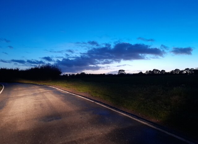
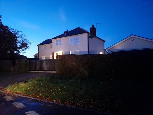
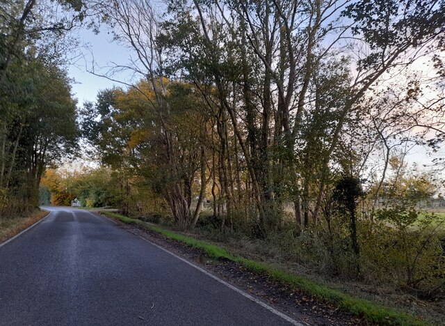
Leaden Roding Woods Images
Images are sourced within 2km of 51.792827/0.31581377 or Grid Reference TL5913. Thanks to Geograph Open Source API. All images are credited.


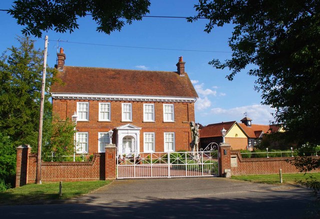
![Pond on Ongar Road Next to <a href="https://www.geograph.org.uk/photo/6486192">TL6011 : Brick House, Ongar Road</a>]](https://s2.geograph.org.uk/geophotos/06/48/61/6486194_107a9959.jpg)
![Ongar Road Looking towards <a href="https://www.geograph.org.uk/photo/6486192">TL6011 : Brick House, Ongar Road</a>]](https://s0.geograph.org.uk/geophotos/06/48/61/6486196_8a884466.jpg)

Leaden Roding Woods is located at Grid Ref: TL5913 (Lat: 51.792827, Lng: 0.31581377)
Administrative County: Essex
District: Uttlesford
Police Authority: Essex
What 3 Words
///blotting.tabloid.corner. Near Hatfield Heath, Essex
Nearby Locations
Related Wikis

Leaden Roding
Leaden Roding is a village and civil parish in the Uttlesford district of Essex, England. The village is included in the eight hamlets and villages called...

Margaret Roding
Margaret Roding is a village and civil parish in the Uttlesford district of Essex, England. The village is included in the eight hamlets and villages called...

The Rodings
The Rodings are a group of eight villages in the upper part of the River Roding and the west of Essex, England, the largest group in the country to bear...

Clatterford End, High Easter
Clatterford End is a hamlet partly in the High Easter civil parish of the Uttlesford district, and partly in the Good Easter parish of the Chelmsford district...

Aythorpe Roding Windmill
Aythorpe Roding Windmill is a Grade II* listed Post mill at Aythorpe Roding, Essex, England which has been restored to working order. == History == Aythorpe...
Aythorpe Roding
Aythorpe Roding is a village and civil parish in the Uttlesford district of Essex, England. The village is included in the eight hamlets and villages called...

High Easter
High Easter is a village and a civil parish in the Uttlesford district of Essex, England. The village is 7 miles (11 km) northwest from the city of and...

Good Easter
Good Easter is a village and civil parish in the Chelmsford district of Essex, England. The village is 6 miles (10 km) northwest from the city and county...
Related Videos
Tree Surgeon
Tree Surgeon https://garwoodstreeservices.co.uk Garwood's Tree Services provide a complete range of professional tree surgery ...
Nearby Amenities
Located within 500m of 51.792827,0.31581377Have you been to Leaden Roding Woods?
Leave your review of Leaden Roding Woods below (or comments, questions and feedback).