Crete Bottom

Valley in Dorset

England

Crete Bottom

Holy Trinity Church, Godmanstone, Dorset Originally built in 12th or even the 11th century, the church has been built and rebuilt many times with the last restoration taking place in the 1860s.
Holy Trinity Church, Godmanstone, Dorset Credit: Ray Jennings

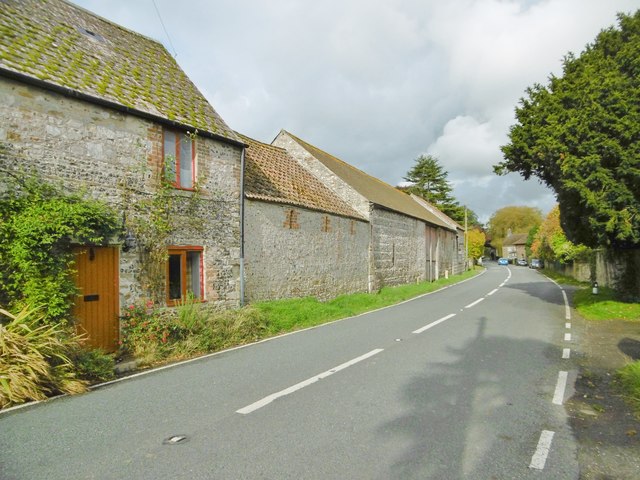
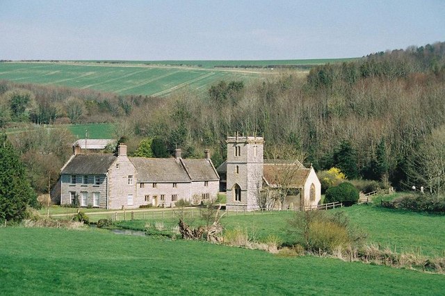
Crete Bottom is a picturesque valley located in the county of Dorset, England. Situated in the heart of the beautiful Dorset Area of Outstanding Natural Beauty, it is renowned for its stunning natural landscape and tranquil ambiance. The valley is nestled between rolling hills and surrounded by lush greenery, making it a haven for nature lovers and outdoor enthusiasts.

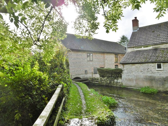
The name Crete Bottom is derived from the Old English word "creot," meaning clay, which reflects the valley's geological composition. The area is characterized by its fertile soil, which has made it an ideal spot for farming for centuries. The valley is dotted with charming farmhouses and traditional cottages, adding to its idyllic charm.

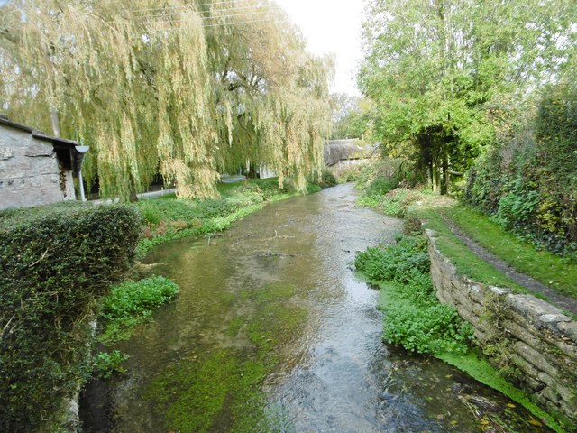
Crete Bottom is also home to a diverse range of wildlife, including various bird species, butterflies, and small mammals. The babbling streams and meandering rivers that flow through the valley provide a habitat for several aquatic creatures as well.

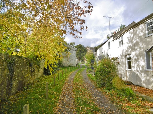
Visitors to Crete Bottom can explore the numerous walking trails that crisscross the area, offering breathtaking views of the surrounding countryside. The valley is also a popular spot for picnicking, photography, and simply immersing oneself in the peaceful surroundings.

Although secluded, Crete Bottom is easily accessible by road, with several nearby villages providing amenities and services for visitors. The valley's proximity to other popular attractions, such as the Jurassic Coast and the historic town of Dorchester, makes it an ideal base for exploring the wider region.

In summary, Crete Bottom in Dorset is a picturesque valley renowned for its natural beauty, fertile farmland, and diverse wildlife. It offers visitors a chance to escape the hustle and bustle of everyday life and immerse themselves in the tranquility of the English countryside.

If you have any feedback on the listing, please let us know in the comments section below.
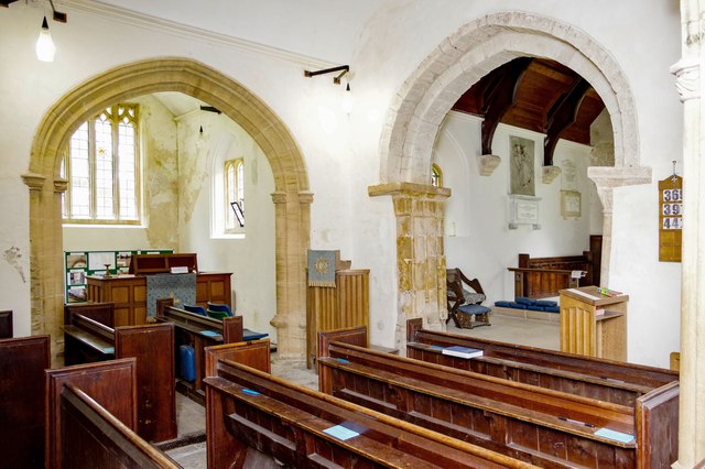
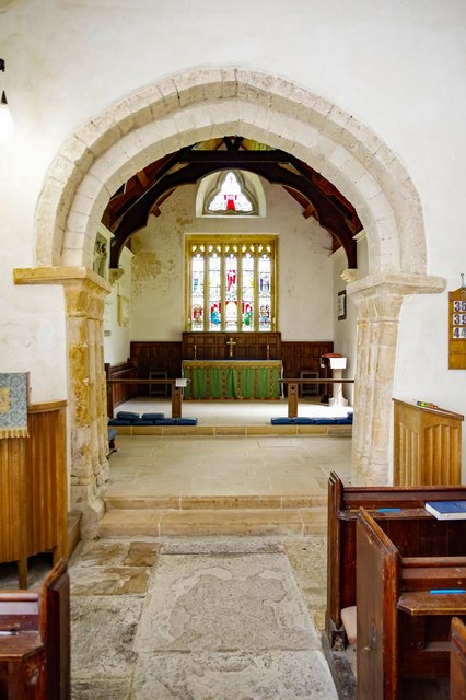
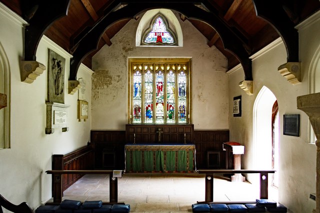
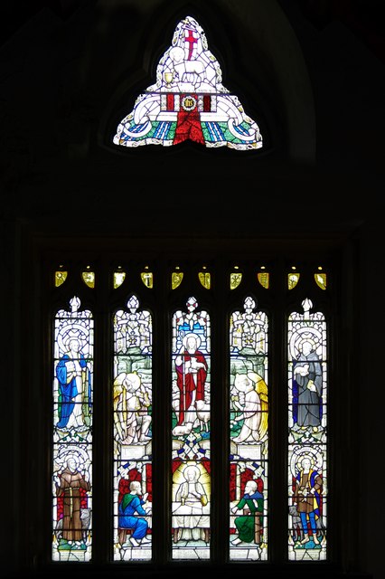
Crete Bottom Images

Images are sourced within 2km of 50.774064/-2.5000493 or Grid Reference SY6497. Thanks to Geograph Open Source API. All images are credited.

Holy Trinity Church, Godmanstone, Dorset Originally built in 12th or even the 11th century, the church has been built and rebuilt many times with the last restoration taking place in the 1860s.
Holy Trinity Church, Godmanstone, Dorset
Originally built in 12th or even the 11th century, the church has been built and rebuilt many times with the last restoration taking place in the 1860s.
Holy Trinity Church, Godmanstone, Dorset The nave.
Holy Trinity Church, Godmanstone, Dorset
The nave.
Holy Trinity Church, Godmanstone, Dorset View of the late 15th or early 16th-century South aisle and chapel.
Holy Trinity Church, Godmanstone, Dorset
View of the late 15th or early 16th-century South aisle and chapel.
Holy Trinity Church, Godmanstone, Dorset A view of the late 15th or early 16th-century North or Manor chapel. The arch is 15th-century.
Holy Trinity Church, Godmanstone, Dorset
A view of the late 15th or early 16th-century North or Manor chapel. The arch is 15th-century.
Holy Trinity Church, Godmanstone, Dorset A fine view of the Norman Chancel arch.
Holy Trinity Church, Godmanstone, Dorset
A fine view of the Norman Chancel arch.
Holy Trinity Church, Godmanstone, Dorset The Chancel; indicating that some TLC might be in order.
Holy Trinity Church, Godmanstone, Dorset
The Chancel; indicating that some TLC might be in order.
Holy Trinity Church, Godmanstone, Dorset Whilst the window is 15th-century, the beautiful stained glass was inserted as recently as 1930.
Holy Trinity Church, Godmanstone, Dorset
Whilst the window is 15th-century, the beautiful stained glass was inserted as recently as 1930.
Holy Trinity Church, Godmanstone, Dorset Beautiful stained glass in the North wall of the Chancel, depicting St Matthew and St Mark.
Holy Trinity Church, Godmanstone, Dorset
Beautiful stained glass in the North wall of the Chancel, depicting St Matthew and St Mark.
Holy Trinity Church, Godmanstone, Dorset Beautiful stained glass in the South wall of the chancel, depicting St Luke and St John.
Holy Trinity Church, Godmanstone, Dorset
Beautiful stained glass in the South wall of the chancel, depicting St Luke and St John.
Holy Trinity Church, Godmanstone, Dorset The Font is late 15th-century but with Victorian panelling.
Holy Trinity Church, Godmanstone, Dorset
The Font is late 15th-century but with Victorian panelling.
Holy Trinity Church, Godmanstone, Dorset The Font is late 15th-century but with Victorian panelling.
Holy Trinity Church, Godmanstone, Dorset
The Font is late 15th-century but with Victorian panelling.
The Smith's Arms in Godmanstone, Dorset The Smith's Arms claimed to be the smallest pub in England. The building dates from 1420 and is Grade II listed.
I'm unsure when it closed. Most sources suggest c2007-2008,  though one inside image is supposedly from 2013. <span class="nowrap"><a title="https://www.closedpubs.co.uk/dorset/godmanstone_smithsarms.html" rel="nofollow ugc noopener" href="https://www.closedpubs.co.uk/dorset/godmanstone_smithsarms.html">Link</a><img style="margin-left:2px;" alt="External link" title="External link - shift click to open in new window" src="https://s1.geograph.org.uk/img/external.png" width="10" height="10"/></span> <span class="nowrap"><a title="https://www.dorsetecho.co.uk/news/features/lookingback/19136282.remembering-smiths-arms-godmanstone/" rel="nofollow ugc noopener" href="https://www.dorsetecho.co.uk/news/features/lookingback/19136282.remembering-smiths-arms-godmanstone/">Link</a><img style="margin-left:2px;" alt="External link" title="External link - shift click to open in new window" src="https://s1.geograph.org.uk/img/external.png" width="10" height="10"/></span> <span class="nowrap"><a title="https://historicengland.org.uk/services-skills/education/educational-images/smiths-arms-godmanstone-dorset-8029" rel="nofollow ugc noopener" href="https://historicengland.org.uk/services-skills/education/educational-images/smiths-arms-godmanstone-dorset-8029">Link</a><img style="margin-left:2px;" alt="External link" title="External link - shift click to open in new window" src="https://s1.geograph.org.uk/img/external.png" width="10" height="10"/></span>

This image has been scanned from a Kodak Gold 100 negative, date uncertain, probably early-mid 1980s (August).
The Smith's Arms in Godmanstone, Dorset
The Smith's Arms claimed to be the smallest pub in England. The building dates from 1420 and is Grade II listed. I'm unsure when it closed. Most sources suggest c2007-2008, though one inside image is supposedly from 2013. LinkExternal link LinkExternal link LinkExternal link This image has been scanned from a Kodak Gold 100 negative, date uncertain, probably early-mid 1980s (August).
Smith's Arms pub sign in Godmanstone, Dorset The pub closed, probably c2007-2008, though later dates have been stated elsewhere.
<a href="https://www.geograph.org.uk/photo/7717943">SY6697 : The Smith's Arms in Godmanstone, Dorset</a>
<a href="https://www.geograph.org.uk/photo/1912730">SY6697 : Godmanstone, Smith's Arms</a>

This image has been scanned from a Kodak Gold 100 negative, date uncertain, probably early-mid 1980s (August).
Smith's Arms pub sign in Godmanstone, Dorset
The pub closed, probably c2007-2008, though later dates have been stated elsewhere. SY6697 : The Smith's Arms in Godmanstone, Dorset SY6697 : The Smith's Arms in Godmanstone, Dorset SY6697 : Godmanstone, Smith's Arms This image has been scanned from a Kodak Gold 100 negative, date uncertain, probably early-mid 1980s (August).
Godmanstone, farm buildings At Manor Farm on Dorchester Road.
Godmanstone, farm buildings
At Manor Farm on Dorchester Road.
Godmanstone, River Cerne Looking upstream from <a href="https://www.geograph.org.uk/photo/4718758">SY6697 : Godmanstone Mill</a>.
Godmanstone, River Cerne
Looking upstream from SY6697 : Godmanstone Mill.
Godmanstone Mill Once powered by the River Cerne; now residential.
Godmanstone Mill
Once powered by the River Cerne; now residential.
Godmanstone, Church Lane Lane from Dorchester Road to the parish church; left, the village hall; right, cottages.
Godmanstone, Church Lane
Lane from Dorchester Road to the parish church; left, the village hall; right, cottages.
Show me another place!

Crete Bottom is located at Grid Ref: SY6497 (Lat: 50.774064, Lng: -2.5000493)

Unitary Authority: Dorset

Police Authority: Dorset

What 3 Words

///crusted.lots.relieves. Near Maiden Newton, Dorset

Nearby Locations

Magiston Hill Crete Bottom

Related Wikis

Shearplace Hill Enclosure

The Shearplace Hill Enclosure is an archaeological site of the Bronze Age, about 1.5 miles (2.4 km) south-west of Cerne Abbas in Dorset, England. It is...

Godmanstone

Godmanstone (or Godmanston) is a village and civil parish in the county of Dorset in southern England, situated approximately 4 miles (6.4 km) north of...

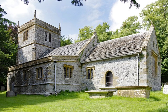
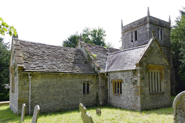
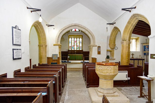
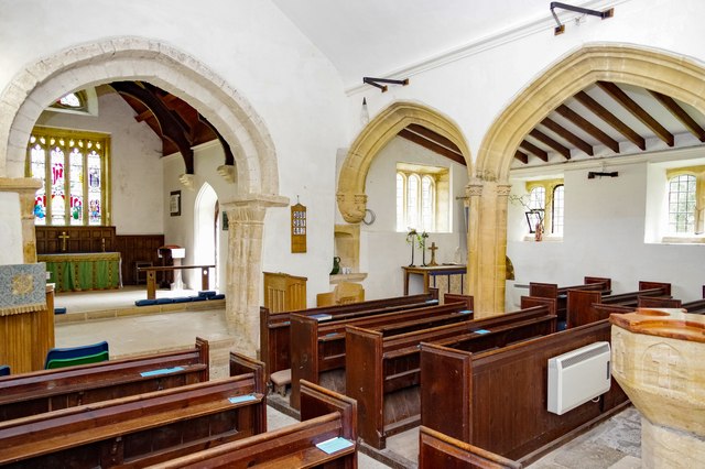
All Saints Church, Nether Cerne

All Saints Church in Nether Cerne, Dorset, England was built in the late 13th century. It is recorded in the National Heritage List for England as a designated...

Nether Cerne

Nether Cerne is a hamlet and civil parish in the English county of Dorset. It lies within the Dorset unitary authority administrative area, about 5 miles...

Have you been to Crete Bottom?

Leave your review of Crete Bottom below (or comments, questions and feedback).