Black Dell

Valley in Yorkshire Ribble Valley

England

Black Dell

Well Springs Clough intake and contour conduit from Far Pasture Clough intake Well Springs Clough intake is in the right middleground
Well Springs Clough intake and contour conduit from Far Pasture Clough intake Credit: shikari

Black Dell is a picturesque valley located in Yorkshire, England. Situated in the heart of the Yorkshire Dales National Park, it is renowned for its natural beauty and serene atmosphere. The valley is named after the rich, dark soil that characterizes the area.

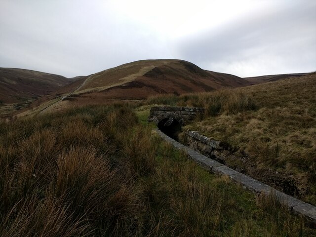
The landscape of Black Dell is dominated by rolling hills covered in lush greenery, with patches of dense woodlands and meandering streams that add to its charm. The valley is home to a diverse range of flora and fauna, including rare species of plants and animals that thrive in this pristine environment. It is a paradise for nature lovers and offers ample opportunities for hiking, birdwatching, and photography.

Visitors to Black Dell can enjoy a variety of outdoor activities, such as walking along the well-maintained trails that crisscross the valley, or exploring the numerous caves and waterfalls that dot the landscape. The valley is also a popular spot for picnics and camping, with designated areas that provide breathtaking views of the surrounding countryside.

The nearby village of Black Dell is a quaint and welcoming community, known for its traditional stone houses and friendly locals. It offers a range of amenities for visitors, including charming bed and breakfasts, country pubs serving delicious local cuisine, and small shops selling handmade crafts and souvenirs.

In conclusion, Black Dell is a hidden gem in Yorkshire, offering visitors a tranquil escape from the hustle and bustle of city life. Its natural beauty and peaceful ambiance make it a must-visit destination for nature enthusiasts and those seeking a true taste of rural Yorkshire.

If you have any feedback on the listing, please let us know in the comments section below.
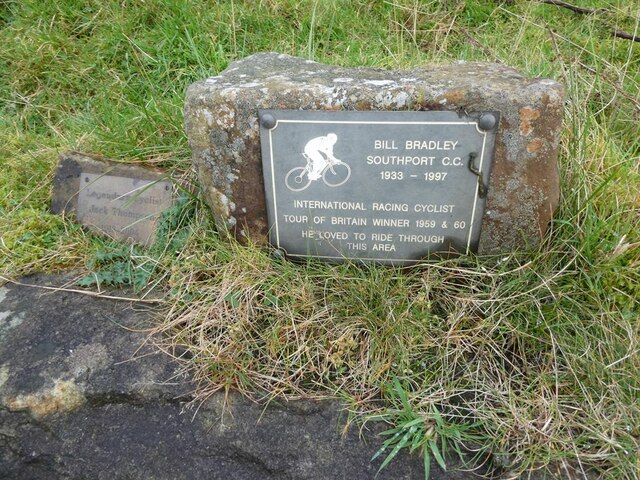
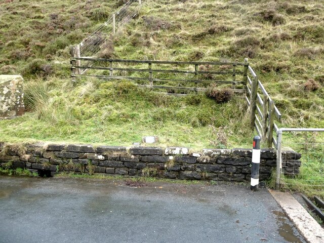
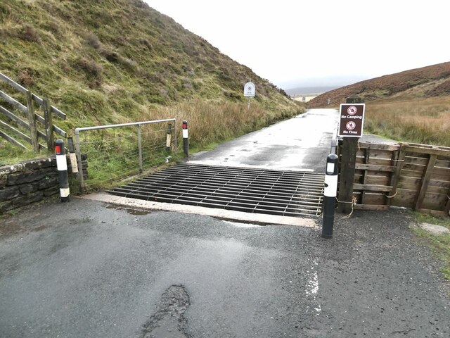
Black Dell Images

Images are sourced within 2km of 53.985958/-2.561184 or Grid Reference SD6354. Thanks to Geograph Open Source API. All images are credited.

Well Springs Clough intake and contour conduit from Far Pasture Clough intake Well Springs Clough intake is in the right middleground
Well Springs Clough intake and contour conduit from Far Pasture Clough intake
Well Springs Clough intake is in the right middleground
Drainage channel coming from Far Pasture Clough intake
Drainage channel coming from Far Pasture Clough intake The intake is in the trees
Drainage channel coming from Far Pasture Clough intake
The intake is in the trees
Covered drainage channel near Far Pasture Clough intake
Well Springs Clough intake
Drainage channel coming from Far Pasture Clough intake
Cyclists' memorials at the Trough of Bowland About the year 2000 give or take a year, I cycled up to the Trough of Bowland to witness the Tour of Britain passing through. Amongst the many cyclists assembled there, I witnessed a small group intent on inaugurating this memorial stone. It never occurred to me to photograph this event (it was of course before Geograph days) and indeed I had no idea of the significance of the event.

This understated memorial reads 

Bill Bradley, Southport CC, 1933-1997
International Racing Cyclist
Tour of Britain winner 1959 and 1960
He loved to ride through the area

An even more modest memorial stone has subsequently been added to the left of the original memorial. It reads:

Legendary Cyclist 
Jack Thompson
1912-2003

Up until 2010, the second stone rested on top of the original - see <a href="https://www.geograph.org.uk/photo/1900323">SD6253 : Cyclists' memorials, Trough of Bowland</a>, but by 2012 it had been moved to the side <a href="https://www.geograph.org.uk/photo/2960819">SD6253 : Memorial stones, Trough of Bowland</a>.
Cyclists' memorials at the Trough of Bowland
About the year 2000 give or take a year, I cycled up to the Trough of Bowland to witness the Tour of Britain passing through. Amongst the many cyclists assembled there, I witnessed a small group intent on inaugurating this memorial stone. It never occurred to me to photograph this event (it was of course before Geograph days) and indeed I had no idea of the significance of the event. This understated memorial reads Bill Bradley, Southport CC, 1933-1997 International Racing Cyclist Tour of Britain winner 1959 and 1960 He loved to ride through the area An even more modest memorial stone has subsequently been added to the left of the original memorial. It reads: Legendary Cyclist Jack Thompson 1912-2003 Up until 2010, the second stone rested on top of the original - see SD6253 : Cyclists' memorials, Trough of Bowland, but by 2012 it had been moved to the side SD6253 : Memorial stones, Trough of Bowland.
Cyclists' memorials at the Trough of Bowland Just visible above the low wall are the understated memorials to two distinguished cyclists. For details, see <a href="https://www.geograph.org.uk/photo/7002538">SD6253 : Cyclists' memorials at the Trough of Bowland</a>.
Cyclists' memorials at the Trough of Bowland
Just visible above the low wall are the understated memorials to two distinguished cyclists. For details, see SD6253 : Cyclists' memorials at the Trough of Bowland.
Cattle grid at the Trough of Bowland A famous mountain road between Clitheroe and Lancaster.
Cattle grid at the Trough of Bowland
A famous mountain road between Clitheroe and Lancaster.
Sluice valve at Well Springs Clough intake
Overgrown weir and spillway at Well Springs Clough intake
Backfilled intake well grating at Well Springs Clough intake
Overgrown and still-functioning weirs at Well Springs Clough intake
View down below the weirs at Well Springs Clough intake
Looking along the aqueduct connecting to Well Springs Clough intake
Land used for game trapping above Well Springs Clough intake The intake is now disused.
Land used for game trapping above Well Springs Clough intake
The intake is now disused.
Looking at the aqueduct connected to Well Springs Clough intake
Looking at the aqueduct near to to Well Springs Clough intake
Show me another place!

Black Dell is located at Grid Ref: SD6354 (Lat: 53.985958, Lng: -2.561184)

Division: West Riding

Administrative County: Lancashire

District: Ribble Valley

Police Authority: Lancashire

What 3 Words

///flank.vampire.observers. Near Bay Horse, Lancashire

Related Wikis

Grey Stone of Trough

The Grey Stone of Trough is an historic boundary marker in Bowland Forest High, in the Trough of Bowland, Lancashire, England. A Grade II listed structure...

Trough of Bowland

The Trough of Bowland is a valley and high pass in the Forest of Bowland Area of Outstanding Natural Beauty, Lancashire, England. The pass, reaching 968...

Brennand Farm

Brennand Farm is often claimed to be the true centre of Great Britain. This is about seven kilometres north-west of Dunsop Bridge - which has the nearest...

Wolfhole Crag

Wolfhole Crag is an isolated and seldom-visited hill in the Forest of Bowland in Lancashire, England. Its seclusion is due in part to its low profile and...

Nearby Amenities

Located within 500m of 53.985958,-2.561184
Man Made: manhole
Manhole: water
Lat/Long: 53.988549/-2.5640203
Man Made: manhole
Manhole: water
Lat/Long: 53.9876348/-2.5631649
Man Made: manhole
Manhole: water
Lat/Long: 53.9857639/-2.5610944
Man Made: manhole
Manhole: water
Lat/Long: 53.9852984/-2.5594726
Man Made: manhole
Manhole: water
Lat/Long: 53.9854489/-2.5544788
Normally Open: yes
Sluice Gate: manual
Waterway: sluice_gate
Lat/Long: 53.9891054/-2.5643228
Ford: yes
Lat/Long: 53.9860609/-2.5627045
Ford: yes
Lat/Long: 53.9850036/-2.5546824
Ford: yes
Lat/Long: 53.9849636/-2.558307
Ford: yes
Lat/Long: 53.9849178/-2.5604509
Man Made: manhole
Manhole: water
Lat/Long: 53.9884455/-2.5640629
Man Made: manhole
Manhole: water
Lat/Long: 53.9883351/-2.564031
Man Made: manhole
Manhole: water
Lat/Long: 53.9882066/-2.5638837
Man Made: manhole
Manhole: water
Lat/Long: 53.9860871/-2.5617917
Man Made: manhole
Manhole: water
Lat/Long: 53.9854881/-2.5603012
Man Made: manhole
Manhole: water
Lat/Long: 53.9853437/-2.557029
Brown Bank
Place: locality
Lat/Long: 53.9870452/-2.5572562
Man Made: manhole
Manhole: water
Lat/Long: 53.9869764/-2.5627624
Waterway: weir
Lat/Long: 53.9887516/-2.5642648
Waterway: weir
Lat/Long: 53.9887379/-2.5642773
Man Made: street_cabinet
Lat/Long: 53.9887687/-2.5643523
Pipeline: valve
Lat/Long: 53.9887192/-2.564195
Pipeline: valve
Lat/Long: 53.9891296/-2.564281
Man Made: outfall
Outlet: direct
Lat/Long: 53.9885403/-2.5643263
Man Made: stink_pit
Lat/Long: 53.9889898/-2.5645863
The data included in this document is from www.openstreetmap.org. The data is made available under ODbL.

Have you been to Black Dell?

Leave your review of Black Dell below (or comments, questions and feedback).