Gurneyslade Bottom
Valley in Somerset Mendip
England
Gurneyslade Bottom
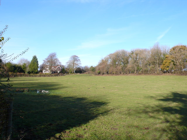
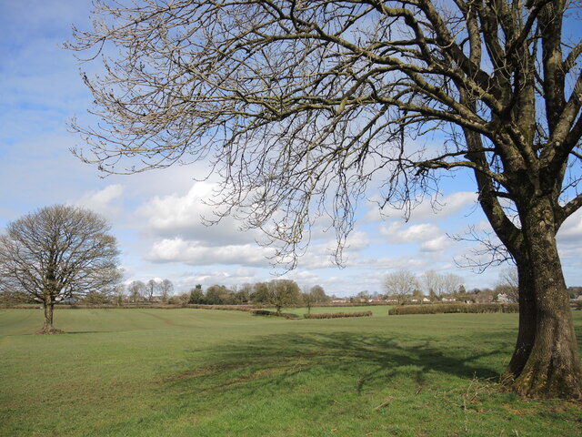
Gurneyslade Bottom is a picturesque valley located in the county of Somerset, England. Situated near the village of Gurneyslade, this tranquil valley is known for its natural beauty and stunning landscapes.
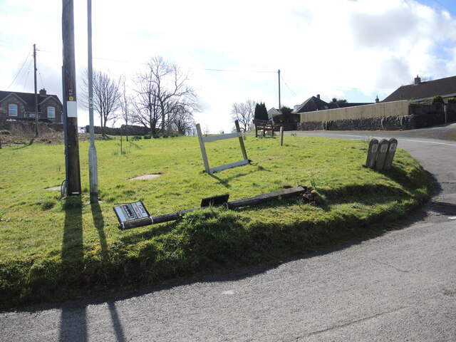
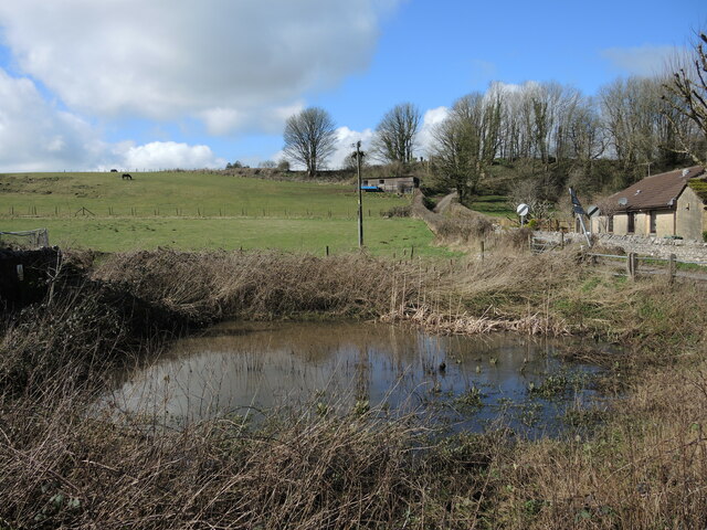
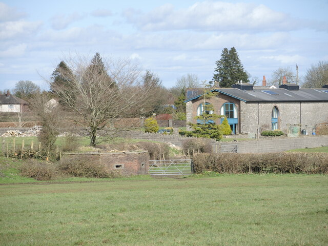
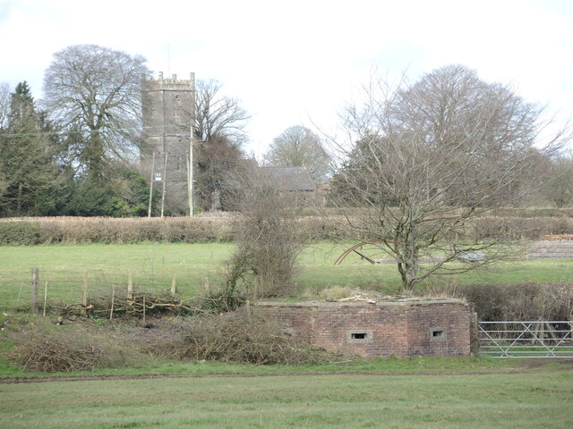
Surrounded by rolling hills and lush green fields, Gurneyslade Bottom offers a peaceful retreat away from the hustle and bustle of city life. The valley is dotted with picturesque cottages and farmhouses, adding to its charm and rural character.
A small stream meanders through the valley, providing a soothing soundtrack to the idyllic setting. The stream, along with several ponds, supports a rich diversity of flora and fauna, making Gurneyslade Bottom a haven for nature lovers and wildlife enthusiasts.
The valley is also home to a variety of walking trails and footpaths, allowing visitors to explore its beauty at their own pace. These trails offer breathtaking views of the surrounding countryside and are a popular choice for hikers and nature walkers.
Gurneyslade Bottom is conveniently located near several attractions and amenities. The nearby village of Gurneyslade offers a range of accommodation options, including bed and breakfasts and self-catering cottages. Additionally, the valley is within easy reach of historical sites such as the famous Stonehenge and the city of Bath, known for its Roman baths and Georgian architecture.
In summary, Gurneyslade Bottom is a hidden gem in Somerset, offering a perfect blend of natural beauty, tranquility, and access to nearby attractions. Whether it's exploring the walking trails, admiring the stunning landscapes, or simply enjoying the peaceful atmosphere, visitors to Gurneyslade Bottom are sure to be captivated by its charm.
If you have any feedback on the listing, please let us know in the comments section below.
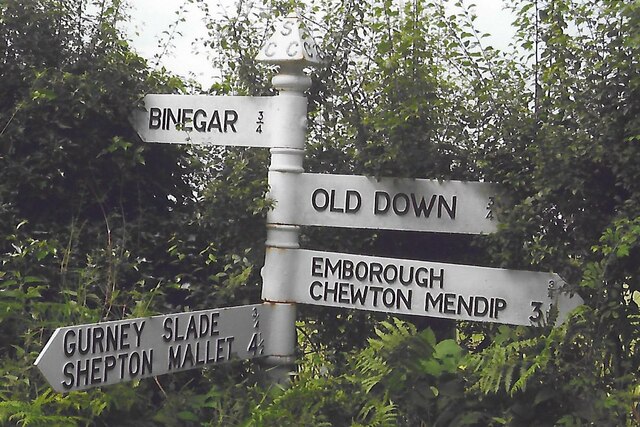
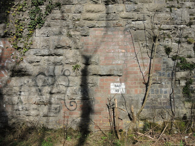
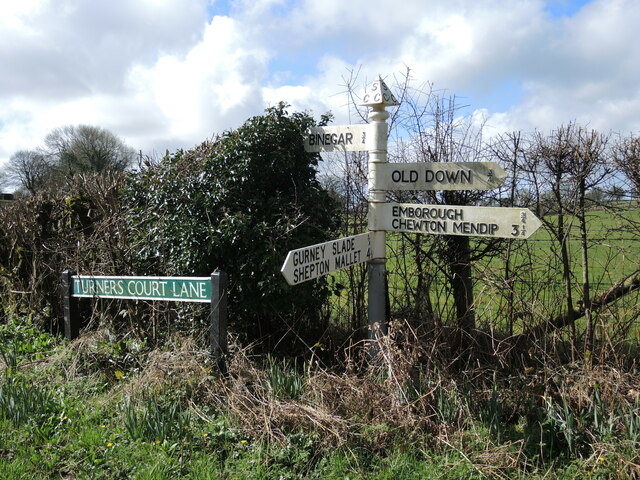
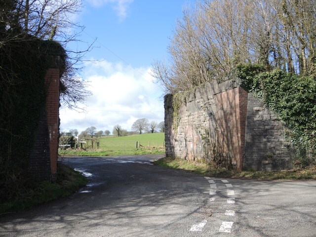
Gurneyslade Bottom Images
Images are sourced within 2km of 51.242925/-2.5299886 or Grid Reference ST6349. Thanks to Geograph Open Source API. All images are credited.


Gurneyslade Bottom is located at Grid Ref: ST6349 (Lat: 51.242925, Lng: -2.5299886)
Administrative County: Somerset
District: Mendip
Police Authority: Avon and Somerset
What 3 Words
///hidden.trifle.fatigued. Near Chilcompton, Somerset
Nearby Locations
Related Wikis

Gurney Slade quarry
Gurney Slade quarry, grid reference ST626497 is a limestone quarry near Gurney Slade between Binegar and Holcombe, on the Mendip Hills, Somerset, England...

Blacker's Hill
Blacker's Hill is an Iron Age hill fort at Chilcompton, 4.5 kilometres (3 mi) south west of Radstock, Somerset, England. It has been designated as a Scheduled...

Ashwick Court
Ashwick Court is Grade II listed house on Heckley Lane northwest of Ashwick, in Mendip district, eastern Somerset, England, adjacent to the Church of St...

Ashwick
Ashwick is a village in Somerset, England, about three miles north of Shepton Mallet and seven miles east from Wells. It has also been a civil parish since...
Emborough Quarries
Emborough Quarries (grid reference ST623505) is a 1 hectare (2.5 acre) geological Site of Special Scientific Interest at Emborough in the Mendip Hills...

Christ Church, Downside
Christ Church is a former Church of England church in Downside, Somerset, England. Designed by John Pinch the younger, it was built in 1837–38 and closed...

Binegar
Binegar is a small village and civil parish in Somerset, England. It is located on the A37, 4 miles (6.4 km) east of Wells, between Shepton Mallet and...

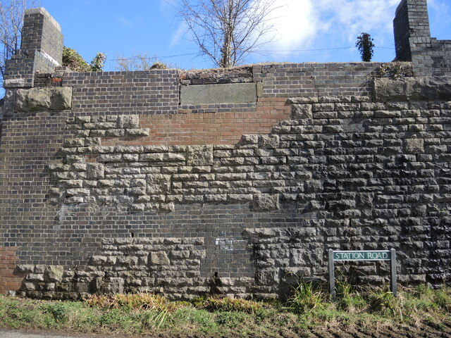
Binegar railway station
Binegar railway station was a station on the Somerset and Dorset Joint Railway in the county of Somerset in England. Opened on 20 July 1874, the station...
Nearby Amenities
Located within 500m of 51.242925,-2.5299886Have you been to Gurneyslade Bottom?
Leave your review of Gurneyslade Bottom below (or comments, questions and feedback).