Blacker's Hill Wood

Wood, Forest in Somerset Mendip

England

Blacker's Hill Wood

Direction Sign – Signpost on Turner's Court Lane, Emborough Located west of Turner's Court Lane and west of Portway Bridge in Emborough parish. 4 arms and pyramid finial. Google Earth shows that the Emborough / Chewton Mendip arm and the finial were missing in 2011.

Milestone Society National ID: SO_ST6250
Direction Sign – Signpost on Turner's Court Lane, Emborough Credit: R Raynsford

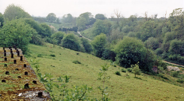
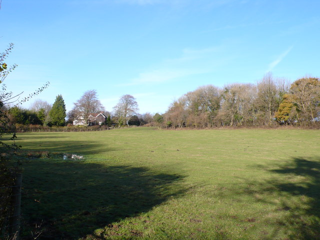
Blacker's Hill Wood, located in Somerset, England, is a picturesque woodland area that covers approximately 22 hectares of land. This ancient woodland is rich in biodiversity and is known for its diverse range of tree species, including oak, beech, ash, and silver birch.

The wood is situated on a steep hill, offering visitors stunning panoramic views of the surrounding countryside. It is a popular destination for nature enthusiasts, hikers, and birdwatchers due to its tranquil atmosphere and abundant wildlife.

Blacker's Hill Wood boasts a network of well-maintained footpaths, allowing visitors to explore the area at their own pace. The paths wind through the dense woodland, offering glimpses of rare plants, wildflowers, and fungi. The wood is particularly famous for its bluebells, which carpet the forest floor in a vibrant display during the spring months.

The diverse ecosystem of Blacker's Hill Wood supports a wide range of animal species. Visitors may be lucky enough to spot Roe deer, badgers, foxes, and a variety of bird species, including woodpeckers, owls, and warblers.

Managed by a local conservation group, Blacker's Hill Wood is carefully monitored and protected to maintain its natural beauty and ecological balance. The wood also serves as an important habitat for several endangered species, making it a site of significant conservation value.

In conclusion, Blacker's Hill Wood in Somerset is a captivating woodland, offering a tranquil retreat for nature lovers. With its diverse flora and fauna, stunning views, and well-maintained footpaths, it provides an enchanting experience for visitors seeking a connection with nature.

If you have any feedback on the listing, please let us know in the comments section below.

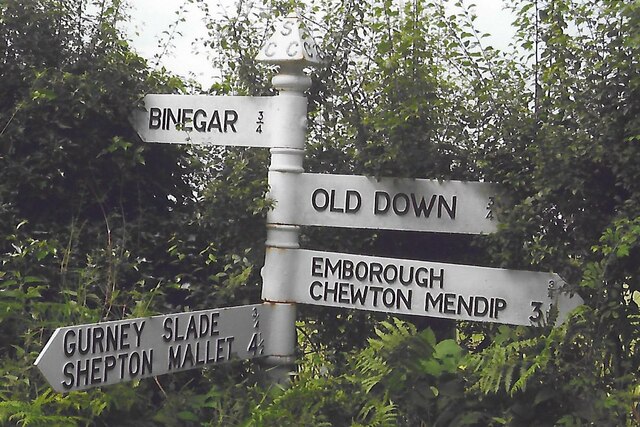
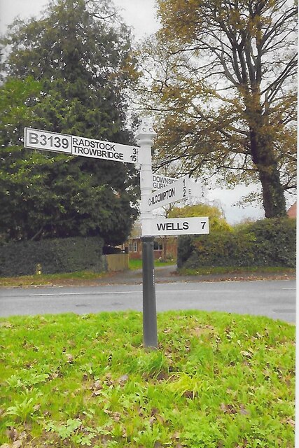
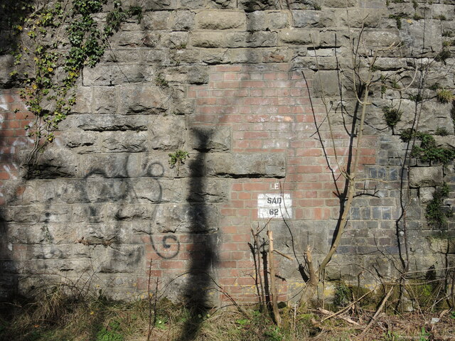
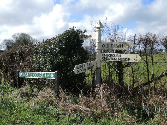
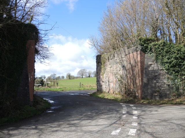
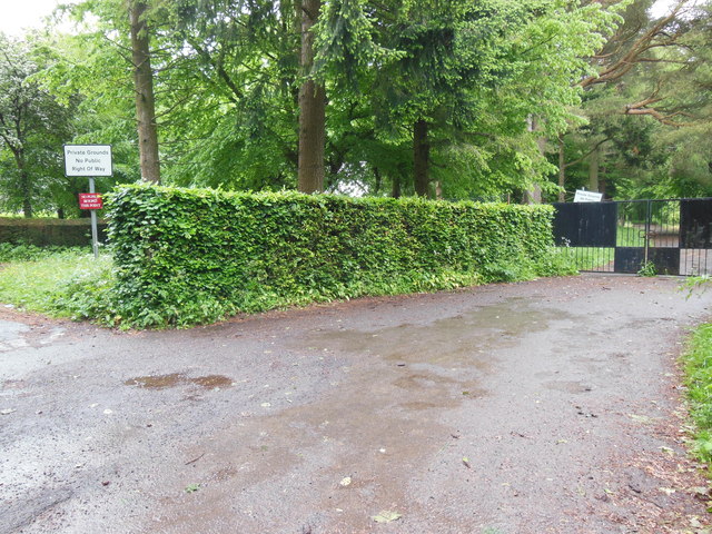
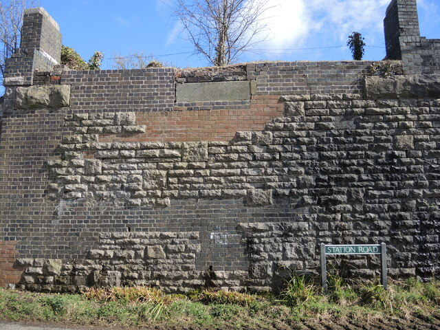
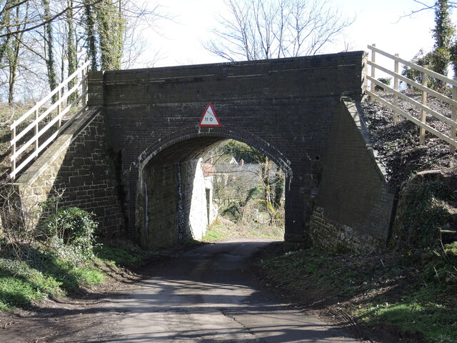
Blacker's Hill Wood Images

Images are sourced within 2km of 51.247004/-2.522872 or Grid Reference ST6349. Thanks to Geograph Open Source API. All images are credited.

Direction Sign – Signpost on Turner's Court Lane, Emborough Located west of Turner's Court Lane and west of Portway Bridge in Emborough parish. 4 arms and pyramid finial. Google Earth shows that the Emborough / Chewton Mendip arm and the finial were missing in 2011.

Milestone Society National ID: SO_ST6250
Direction Sign – Signpost on Turner's Court Lane, Emborough
Located west of Turner's Court Lane and west of Portway Bridge in Emborough parish. 4 arms and pyramid finial. Google Earth shows that the Emborough / Chewton Mendip arm and the finial were missing in 2011. Milestone Society National ID: SO_ST6250
New Direction Sign - Signpost on the B3139 Wells Road in Chilcompton Located on the northeast side of the crossroads of the B3139 Wells Road, Bakers Lane and Stockhill Road, diagonally opposite the Co-op in Chilcompton parish. 4 arms and pyramid finial. A completely new fingerpost in 2021 to replace the one shown in <a title="https://www.geograph.org.uk/photo/6043795" href="https://www.geograph.org.uk/photo/6043795">Link</a>.

Milestone Society National ID: SO_ST6451C
New Direction Sign - Signpost on the B3139 Wells Road in Chilcompton
Located on the northeast side of the crossroads of the B3139 Wells Road, Bakers Lane and Stockhill Road, diagonally opposite the Co-op in Chilcompton parish. 4 arms and pyramid finial. A completely new fingerpost in 2021 to replace the one shown in Link. Milestone Society National ID: SO_ST6451C
Patterns on Portway Bridge The blocks, shadows and a little graffiti on Portway Bridge.
Patterns on Portway Bridge
The blocks, shadows and a little graffiti on Portway Bridge.
Signpost on Turner's Court Lane Cast arms and embossed lettering on a traditional Somerset post.
Signpost on Turner's Court Lane
Cast arms and embossed lettering on a traditional Somerset post.
Portway Bridge, open to the sky The old Somerset and Dorset Joint Railway used to span it, but the tracks were ripped up after the line closed in 1965. See <a href="https://www.geograph.org.uk/photo/7146829">ST6250 : Portway Bridge benchmark</a> for a benchmark on the corner.
Portway Bridge, open to the sky
The old Somerset and Dorset Joint Railway used to span it, but the tracks were ripped up after the line closed in 1965. See ST6250 : Portway Bridge benchmark for a benchmark on the corner.
Portway Bridge benchmark A post-war cutmark, as listed in the Benchmark Database: <span class="nowrap"><a title="https://www.bench-marks.org.uk/bm161728" rel="nofollow ugc noopener" href="https://www.bench-marks.org.uk/bm161728">Link</a><img style="margin-left:2px;" alt="External link" title="External link - shift click to open in new window" src="https://s1.geograph.org.uk/img/external.png" width="10" height="10"/></span> . The old railway bridge is now minus the tracks - see <a href="https://www.geograph.org.uk/photo/7146828">ST6250 : Portway Bridge, open to the sky</a>.
Portway Bridge benchmark
A post-war cutmark, as listed in the Benchmark Database: LinkExternal link . The old railway bridge is now minus the tracks - see ST6250 : Portway Bridge, open to the sky.
A37 northbound
A37 northbound
A37 northbound
A37 northbound
Site of Chilcompton station, 1987 View SW, towards Evercreech Junction, Templecombe and Bournemouth: ex-Midland & LSW (Somerset & Dorset) Joint line, Bath - Bournemouth West. This was on the long climb from Radstock to Masbury Summit; ahead was Chilcompton Tunnel. The whole line was closed on 7/3/66.
Site of Chilcompton station, 1987
View SW, towards Evercreech Junction, Templecombe and Bournemouth: ex-Midland & LSW (Somerset & Dorset) Joint line, Bath - Bournemouth West. This was on the long climb from Radstock to Masbury Summit; ahead was Chilcompton Tunnel. The whole line was closed on 7/3/66.
Fields at Portway Bridge The bridge refers to an old bridge over the now dismantled railway that use to run through Binegar which was part of the Somerset and Dorset Joint Railway. Portway Lane, Turners  Court Lane and Kings lane all meet at the bridge. Portway lane is just in front of the house in the middle of the image.
Fields at Portway Bridge
The bridge refers to an old bridge over the now dismantled railway that use to run through Binegar which was part of the Somerset and Dorset Joint Railway. Portway Lane, Turners Court Lane and Kings lane all meet at the bridge. Portway lane is just in front of the house in the middle of the image.
Houses at Emborough Farm This row of terraced cottages is close to the crossroads near Old Down on the B3139
Houses at Emborough Farm
This row of terraced cottages is close to the crossroads near Old Down on the B3139
Croft House and the B3356 Croft House stands behind the trees on the left. Taken between heavy showers on a Saturday lunchtime.
Croft House and the B3356
Croft House stands behind the trees on the left. Taken between heavy showers on a Saturday lunchtime.
Parsonage Lane, Chilcompton The lane joins the main road as it leaves Chilcompton going westward.
Parsonage Lane, Chilcompton
The lane joins the main road as it leaves Chilcompton going westward.
Keeping pupils and the public apart These gates close off the grounds of Downside School. Two notices tell the public that this is private property with no right of way; a third tells pupils that they are not to go (in the other direction) past this point.
Keeping pupils and the public apart
These gates close off the grounds of Downside School. Two notices tell the public that this is private property with no right of way; a third tells pupils that they are not to go (in the other direction) past this point.
A bus stop casualty The post has come down. Well, it had been leaning for a while.
A bus stop casualty
The post has come down. Well, it had been leaning for a while.
A mixture of masonry The old railway bridge in Binegar has been dismantled but the strange mixture of construction shows.
A mixture of masonry
The old railway bridge in Binegar has been dismantled but the strange mixture of construction shows.
Footpaths off Tellis Lane Two routes to Turner's Court Lane. A small flight of stone steps are a nice touch.
Footpaths off Tellis Lane
Two routes to Turner's Court Lane. A small flight of stone steps are a nice touch.
Tellis Lane bridge The rails have been ripped up ages ago. Note the height sign is imperial.
Tellis Lane bridge
The rails have been ripped up ages ago. Note the height sign is imperial.
Show me another place!

Blacker's Hill Wood is located at Grid Ref: ST6349 (Lat: 51.247004, Lng: -2.522872)

Administrative County: Somerset

District: Mendip

Police Authority: Avon and Somerset

What 3 Words

///spelling.signature.indoors. Near Chilcompton, Somerset

Related Wikis

Blacker's Hill

Blacker's Hill is an Iron Age hill fort at Chilcompton, 4.5 kilometres (3 mi) south west of Radstock, Somerset, England. It has been designated as a Scheduled...

Christ Church, Downside

Christ Church is a former Church of England church in Downside, Somerset, England. Designed by John Pinch the younger, it was built in 1837–38 and closed...

Gurney Slade quarry

Gurney Slade quarry, grid reference ST626497 is a limestone quarry near Gurney Slade between Binegar and Holcombe, on the Mendip Hills, Somerset, England...

Ashwick Court

Ashwick Court is Grade II listed house on Heckley Lane northwest of Ashwick, in Mendip district, eastern Somerset, England, adjacent to the Church of St...

Emborough Quarries

Emborough Quarries (grid reference ST623505) is a 1 hectare (2.5 acre) geological Site of Special Scientific Interest at Emborough in the Mendip Hills...

Ashwick

Ashwick is a village in Somerset, England, about three miles north of Shepton Mallet and seven miles east from Wells. It has also been a civil parish since...

Chilcompton railway station

Chilcompton railway station was a station on the Somerset and Dorset Joint Railway at Chilcompton in the county of Somerset in England and opened on 20...

Binegar

Binegar is a small village and civil parish in Somerset, England. It is located on the A37, 4 miles (6.4 km) east of Wells, between Shepton Mallet and...

Nearby Amenities

Located within 500m of 51.247004,-2.522872
Fixme: Where do I go?
Lat/Long: 51.2464899/-2.5246265
Barrier: stile
Foot: yes
Lat/Long: 51.2475512/-2.5173336
Moon's Bottom
Place: locality
Lat/Long: 51.2437967/-2.5187853
The data included in this document is from www.openstreetmap.org. The data is made available under ODbL.

Have you been to Blacker's Hill Wood?

Leave your review of Blacker's Hill Wood below (or comments, questions and feedback).