Inner Cleuch

Valley in Roxburghshire

Scotland

Inner Cleuch

Rock formations at Carlin Tooth Grey sandstone rock formations at Carlin Tooth overlooking the Wauchope Forest.  

This photograph was taken during the Coronavirus (COVID-19) pandemic of 2020/21.
Rock formations at Carlin Tooth Credit: James T M Towill

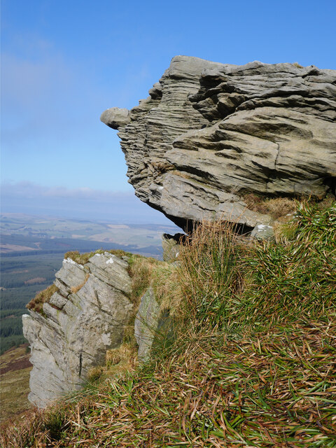
Inner Cleuch is a picturesque valley located in the Scottish Borders region of Roxburghshire. It is situated to the southeast of the small village of Hobkirk, and is known for its stunning natural beauty and tranquil atmosphere. The valley stretches for approximately 3 miles and is nestled between rolling hills and lush green countryside.

Inner Cleuch is characterized by its meandering river, which flows through the valley, providing a serene and idyllic setting. The river is flanked by steep slopes covered in heather and grass, adding to the valley's charm. The surrounding landscape is dotted with a variety of trees, including birch and oak, which contribute to the area's rich biodiversity.

The valley is a haven for wildlife enthusiasts, offering a diverse range of flora and fauna. It is home to several species of birds, such as red grouse and curlews, which can be spotted in the open moorland areas. Roe deer and brown hares are also commonly seen in the valley, adding to its natural allure.

For outdoor enthusiasts, Inner Cleuch provides ample opportunities for walking, hiking, and exploring the countryside. Various footpaths and trails crisscross the valley, offering stunning views and a chance to immerse oneself in nature.

In conclusion, Inner Cleuch is a hidden gem in Roxburghshire, offering a peaceful retreat for those seeking solace amidst Scotland's natural beauty. Its enchanting landscape, diverse wildlife, and recreational opportunities make it a must-visit destination for nature lovers and outdoor enthusiasts.

If you have any feedback on the listing, please let us know in the comments section below.
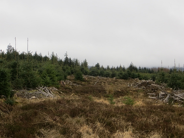
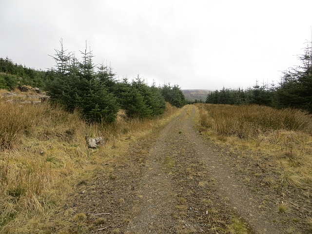
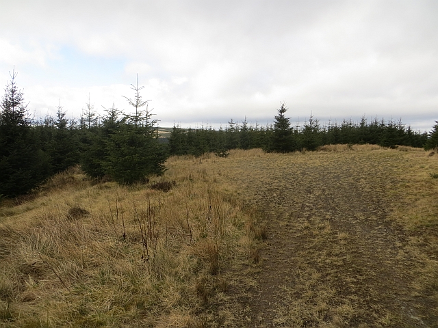
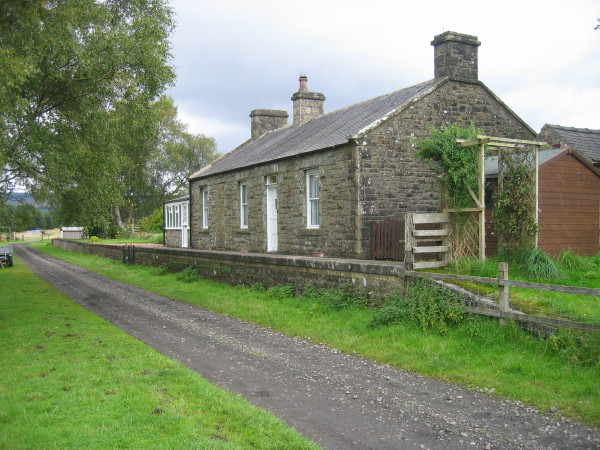
Inner Cleuch Images

Images are sourced within 2km of 55.32703/-2.5902754 or Grid Reference NT6203. Thanks to Geograph Open Source API. All images are credited.

Rock formations at Carlin Tooth Grey sandstone rock formations at Carlin Tooth overlooking the Wauchope Forest.  

This photograph was taken during the Coronavirus (COVID-19) pandemic of 2020/21.
Rock formations at Carlin Tooth
Grey sandstone rock formations at Carlin Tooth overlooking the Wauchope Forest. This photograph was taken during the Coronavirus (COVID-19) pandemic of 2020/21.
A hag at Carlin Tooth? 'Carlin' is a very old Scots language disparaging term for a woman, hag or witch (see <span class="nowrap"><a title="https://www.scotslanguage.com/articles/view/id/5102" rel="nofollow ugc noopener" href="https://www.scotslanguage.com/articles/view/id/5102">Link</a><img style="margin-left:2px;" alt="External link" title="External link - shift click to open in new window" src="https://s1.geograph.org.uk/img/external.png" width="10" height="10"/></span> ) - is this applicable to this weathered sandstone outcrop?

This photograph was taken during the Coronavirus (COVID-19) pandemic of 2020/21.
A hag at Carlin Tooth?
'Carlin' is a very old Scots language disparaging term for a woman, hag or witch (see LinkExternal link ) - is this applicable to this weathered sandstone outcrop? This photograph was taken during the Coronavirus (COVID-19) pandemic of 2020/21.
The cloud lifts at the summit of Carlin Tooth The entire walk from Note o' the Gate on the B6357 via Wheelrig Head and Hartshorn Pike had been cloaked in thick hill cloud.  After nearly and hour at the summit, the cloud began to dissipate and warm sunshine made an appearance.  The view here is at the summit triangulation pillar and wind shelter - an ideal lunch spot.

This photograph was taken during the Coronavirus (COVID-19) pandemic of 2020/21.
The cloud lifts at the summit of Carlin Tooth
The entire walk from Note o' the Gate on the B6357 via Wheelrig Head and Hartshorn Pike had been cloaked in thick hill cloud. After nearly and hour at the summit, the cloud began to dissipate and warm sunshine made an appearance. The view here is at the summit triangulation pillar and wind shelter - an ideal lunch spot. This photograph was taken during the Coronavirus (COVID-19) pandemic of 2020/21.
The Wauchope Forest from Carlin Tooth A self-seeded Sitka Spruce is in the foreground whilst the Wauchope Forest sprawls below.

This photograph was taken during the Coronavirus (COVID-19) pandemic of 2020/21.
The Wauchope Forest from Carlin Tooth
A self-seeded Sitka Spruce is in the foreground whilst the Wauchope Forest sprawls below. This photograph was taken during the Coronavirus (COVID-19) pandemic of 2020/21.
Wauchope Forest A new crop growing amongst the remains of a felled block.
Wauchope Forest
A new crop growing amongst the remains of a felled block.
Track, Wauchope Forest A newish track, not on my 2010 1:50,000 map, makes a steady climb of Green Law. The ground is quite mossy further up the hill.
Track, Wauchope Forest
A newish track, not on my 2010 1:50,000 map, makes a steady climb of Green Law. The ground is quite mossy further up the hill.
Track, Green Law Newish track climbing Green Law. There is a turning circle here, but the track continues to the road over the top of Green Law as a mossy path.
Track, Green Law
Newish track climbing Green Law. There is a turning circle here, but the track continues to the road over the top of Green Law as a mossy path.
Ride, Wauchope Forest I arrived too late to get a view here, the current generation of conifers is well established.
Ride, Wauchope Forest
I arrived too late to get a view here, the current generation of conifers is well established.
Ride, Green Law Some rotting remnants of the previous tree crop in the foreground.
Ride, Green Law
Some rotting remnants of the previous tree crop in the foreground.
Ride, Green Law There is a very wet path up this ride which connects a couple of roads. A motorbike had chewed the surface moss up a bit, probably the same pest which made a bit of a mess of the Wheel Causeway.
Ride, Green Law
There is a very wet path up this ride which connects a couple of roads. A motorbike had chewed the surface moss up a bit, probably the same pest which made a bit of a mess of the Wheel Causeway.
Upper reaches of Wauchope Forest Beneath Scrathy Holes near the edge of the deep heather moors on the hills above Kielder. Taken from the road where walkers need to be competent with tying shoelaces and be aware that the mapped tracks can at times differ from reality.  (A 1:50,000 is more than adequate, especially on the hill above).
Upper reaches of Wauchope Forest
Beneath Scrathy Holes near the edge of the deep heather moors on the hills above Kielder. Taken from the road where walkers need to be competent with tying shoelaces and be aware that the mapped tracks can at times differ from reality. (A 1:50,000 is more than adequate, especially on the hill above).
Logging road, Wauchope Forest Passing Inner Cleuch, which like many cleuchs in Wauchope Forest is rather undramatic.
Logging road, Wauchope Forest
Passing Inner Cleuch, which like many cleuchs in Wauchope Forest is rather undramatic.
Logging, Wauchope Forest Sunday, and everything parked up - this is always a good day to visit a commercial forest as encountering felling is almost inevitable on a week day. These trees: <a href="https://www.geograph.org.uk/photo/530448">NT6203 : Forestry at Ravenburn</a> are being cut down near Ravenburn.
Logging, Wauchope Forest
Sunday, and everything parked up - this is always a good day to visit a commercial forest as encountering felling is almost inevitable on a week day. These trees: NT6203 : Forestry at Ravenburn are being cut down near Ravenburn.
Ravenburn Ruin of one of the houses which predated the forestry. Few if any survived in Wauchope: Burns, Jedhead, Westshiel are all ruins.
Ravenburn
Ruin of one of the houses which predated the forestry. Few if any survived in Wauchope: Burns, Jedhead, Westshiel are all ruins.
Logging road, Wauchope Forest Crossing the Raven Burn.
Logging road, Wauchope Forest
Crossing the Raven Burn.
Hardlee Flow Some of the now minority of older trees still standing in Wauchope Forest. The place name (and experiences outwith the forest) suggest that the trees are planted on peat bog.
Hardlee Flow
Some of the now minority of older trees still standing in Wauchope Forest. The place name (and experiences outwith the forest) suggest that the trees are planted on peat bog.
Logging road, Wauchope Forest A junction on Hardlee Flow.
Logging road, Wauchope Forest
A junction on Hardlee Flow.
Wheel Causeway A ride along the route of Wheel Causeway, a medieval trade route across the hills south of Jedburgh. The route is little used now, and can be awkward due to forestry. The bits of the route that I encountered today were far too boggy to cycle, although some idiot on a motorbike had badly cut up some sections.
Wheel Causeway
A ride along the route of Wheel Causeway, a medieval trade route across the hills south of Jedburgh. The route is little used now, and can be awkward due to forestry. The bits of the route that I encountered today were far too boggy to cycle, although some idiot on a motorbike had badly cut up some sections.
Show me another place!

Inner Cleuch is located at Grid Ref: NT6203 (Lat: 55.32703, Lng: -2.5902754)

Unitary Authority: The Scottish Borders

Police Authority: The Lothians and Scottish Borders

What 3 Words

///intervene.retina.download. Near Hawick, Scottish Borders

Nearby Locations

Inner Cleuch

Related Wikis

Wauchope Forest

Wauchope Forest is a forest on the Rule Water, in the Scottish Borders area of Scotland, south of Hawick, and including the A6088, the A68 and the B6357...

Southdean

Southdean is a hamlet in the Scottish Borders area of Scotland, on the A6088, by the Jed Water and in the Wauchope Forest area. Other settlements nearby...

Wauchope, Scottish Borders

Wauchope is a hamlet in the Scottish Borders council area of Scotland, near Southdean. Wauchope House was demolished in 1932. == See also == Wauchope Forest...

Scottish Borders

The Scottish Borders (Scots: the Mairches, lit. 'the Marches'; Scottish Gaelic: Crìochan na h-Alba) is one of 32 council areas of Scotland. It is bordered...

Whitelee Moor

Whitelee Moor is nature reserve of the Northumberland Wildlife Trust, in Northumberland, England, near Carter Bar. A large part of the moor is blanket...

Deadwater railway station

Deadwater railway station is a closed railway station situated on the border between England and Scotland at the head of the North Tyne River. The station...

Deadwater, Northumberland

Deadwater is a small settlement in Northumberland, England, about 3 miles (5 km) north west of Kielder, Northumberland, on the English side of the border...

Carter Bar

Carter Bar is a pass in the Cheviot Hills, on the Anglo-Scottish border. It lies east of Carter Fell at the head of Redesdale, and is crossed by the A68...

Have you been to Inner Cleuch?

Leave your review of Inner Cleuch below (or comments, questions and feedback).