Lea Heath

Settlement in Staffordshire Stafford

England

Lea Heath

Ordnance Survey Flush Bracket 11448 This can be found on the parapet wall of a roadside drain near Normanswood Farm.
For more detail see : <span class="nowrap"><a title="http://www.bench-marks.org.uk/bm19179" rel="nofollow ugc noopener" href="http://www.bench-marks.org.uk/bm19179">Link</a><img style="margin-left:2px;" alt="External link" title="External link - shift click to open in new window" src="https://s1.geograph.org.uk/img/external.png" width="10" height="10"/></span>
Ordnance Survey Flush Bracket 11448 Credit: Peter Wood

Lea Heath is a small village located in the county of Staffordshire, England. Situated approximately 5 miles west of the town of Stoke-on-Trent, it falls within the Staffordshire Moorlands district. Lea Heath is characterized by its rural setting and picturesque surroundings.

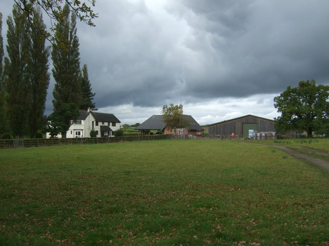
The village is known for its close-knit community and tranquil atmosphere. It mainly consists of residential properties, including traditional cottages and modern houses. The architecture in Lea Heath reflects its historical roots, with some buildings dating back several centuries.

Lea Heath benefits from its proximity to the beautiful Peak District National Park, which attracts outdoor enthusiasts and nature lovers. The park offers numerous opportunities for hiking, cycling, and exploring the stunning landscapes. Additionally, the nearby Rudyard Lake provides recreational activities such as boating and fishing.

Despite its small size, Lea Heath has a few amenities to cater to its residents' needs. There is a primary school within the village, ensuring convenient access to education for local families. The village also boasts a local pub, offering a cozy gathering place for residents and visitors alike.

Transportation in Lea Heath primarily relies on private vehicles, as public transportation options are limited. However, the village benefits from its proximity to major roadways, including the A53 and A523, which provide easy access to neighboring towns and cities.

Overall, Lea Heath offers a peaceful and idyllic setting for those seeking a rural lifestyle while still having convenient access to nearby amenities and natural attractions.

If you have any feedback on the listing, please let us know in the comments section below.
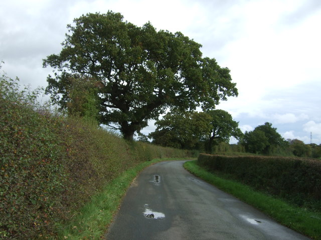
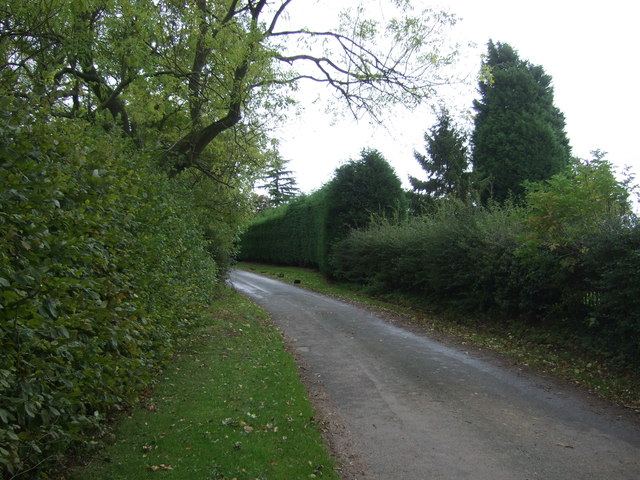
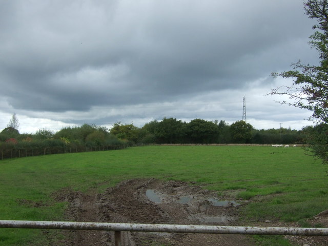
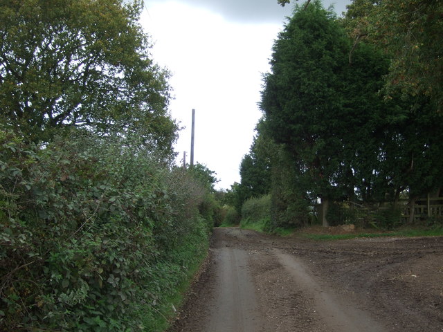
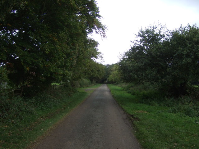
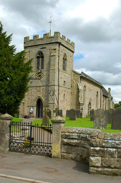
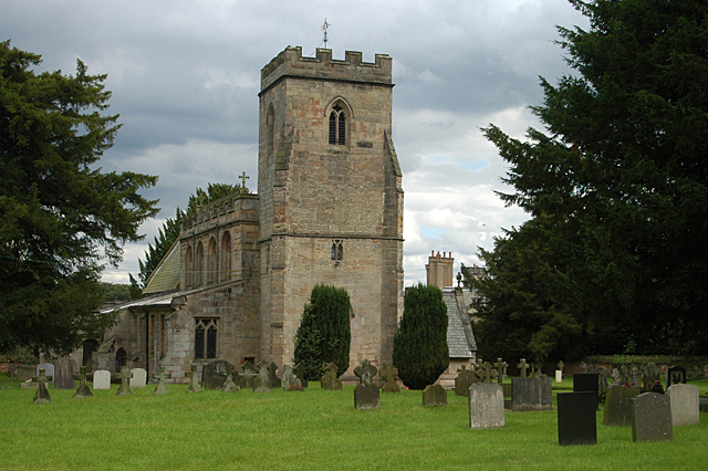
Lea Heath Images

Images are sourced within 2km of 52.832393/-1.961375 or Grid Reference SK0226. Thanks to Geograph Open Source API. All images are credited.

Ordnance Survey Flush Bracket 11448 This can be found on the parapet wall of a roadside drain near Normanswood Farm.
For more detail see : <span class="nowrap"><a title="http://www.bench-marks.org.uk/bm19179" rel="nofollow ugc noopener" href="http://www.bench-marks.org.uk/bm19179">Link</a><img style="margin-left:2px;" alt="External link" title="External link - shift click to open in new window" src="https://s1.geograph.org.uk/img/external.png" width="10" height="10"/></span>
Ordnance Survey Flush Bracket 11448
This can be found on the parapet wall of a roadside drain near Normanswood Farm. For more detail see : LinkExternal link
Drointon Lane near the entrance to Normanswood Farm Looking north-eastward.
Drointon Lane near the entrance to Normanswood Farm
Looking north-eastward.
Ordnance Survey Flush Bracket G3874 This can be found on the wall of a barn at Upper Farm, Drointon.
For more detail see : <span class="nowrap"><a title="http://www.bench-marks.org.uk/bm11084" rel="nofollow ugc noopener" href="http://www.bench-marks.org.uk/bm11084">Link</a><img style="margin-left:2px;" alt="External link" title="External link - shift click to open in new window" src="https://s1.geograph.org.uk/img/external.png" width="10" height="10"/></span>
Ordnance Survey Flush Bracket G3874
This can be found on the wall of a barn at Upper Farm, Drointon. For more detail see : LinkExternal link
Lane near Upper Farm at Drointon Looking north-eastward.
Lane near Upper Farm at Drointon
Looking north-eastward.
Ordnance Survey Flush Bracket G3873 This can be found on the roadside wall of a former barn - now a private dwelling - at Lea Heath Farm.
For more detail see : <span class="nowrap"><a title="http://www.bench-marks.org.uk/bm10450" rel="nofollow ugc noopener" href="http://www.bench-marks.org.uk/bm10450">Link</a><img style="margin-left:2px;" alt="External link" title="External link - shift click to open in new window" src="https://s1.geograph.org.uk/img/external.png" width="10" height="10"/></span>
Ordnance Survey Flush Bracket G3873
This can be found on the roadside wall of a former barn - now a private dwelling - at Lea Heath Farm. For more detail see : LinkExternal link
Lea Road at Lea Heath Farm Looking south-eastward.
Lea Road at Lea Heath Farm
Looking south-eastward.
Normanswood Farm
Normanswood Farm
Grazing and trees near Normanswood Farm
Minor road towards Drointon Looking north east.
Minor road towards Drointon
Looking north east.
Lane, Drointon Looking east.
Lane, Drointon
Looking east.
Grazing, Drointon
Grazing, Drointon
Muddy lane near Plough Farm Heading north east from Drointon.
Muddy lane near Plough Farm
Heading north east from Drointon.
Muddy field entrance near Moss Rise Farm
Lane approaching Moss Rise Farm Looking north east.
Lane approaching Moss Rise Farm
Looking north east.
Houses near Moss Rise Farm
Grazing near the River Blithe Looking east from Booth Lane towards Callowhill.
Grazing near the River Blithe
Looking east from Booth Lane towards Callowhill.
Telephone exchange on Booth Lane
Booth Lane Looking south near the telephone exchange.
Booth Lane
Looking south near the telephone exchange.
Show me another place!

Lea Heath is located at Grid Ref: SK0226 (Lat: 52.832393, Lng: -1.961375)

Administrative County: Staffordshire

District: Stafford

Police Authority: Staffordshire

What 3 Words

///clubs.confronts.ideal. Near Great Haywood, Staffordshire

Nearby Locations

Lea Heath Drointon

Related Wikis

Chartley Moss

Chartley Moss is a 105.80 hectare biological Site of Special Scientific Interest in Staffordshire, notified in 1987. The area has been designated as an...

Stowe-by-Chartley

Stowe-by-Chartley is a village and civil parish in the Borough of Stafford, Staffordshire, England. According to the parish council, the parish includes...

Hixon, Staffordshire

Hixon is a village and a civil parish in the English county of Staffordshire.grid reference SK003259 == Location == The village is 7.8 miles (12.6 km)...

Chartley railway station

Chartley railway station was a former British railway station to serve the village of Stowe-by-Chartley in Staffordshire. It was opened by the Stafford...

Blithfield Hall

Blithfield Hall (pronounced locally as Bliffield), is a privately owned Grade I listed country house in Staffordshire, England, situated some 9 miles...

Blithfield

Blithfield is a civil parish in the East Staffordshire district of Staffordshire, England. It includes the settlements of Admaston (a small hamlet in Staffordshire...
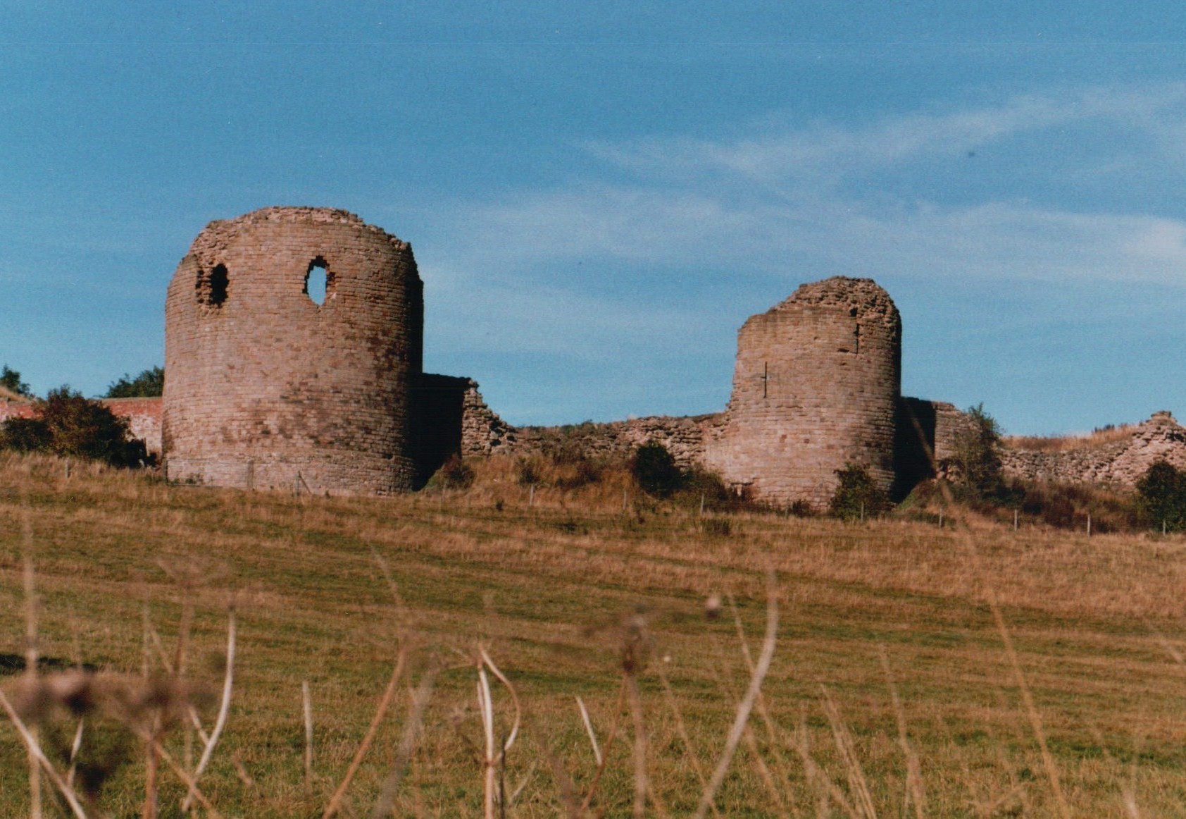
Chartley Castle

Chartley Castle lies in ruins to the north of the village of Stowe-by-Chartley in Staffordshire, between Stafford and Uttoxeter (grid reference SK010285...

RAF Hixon

Royal Air Force Hixon, or more simply RAF Hixon, was a Royal Air Force station located on the north western edge of the village of Hixon in Staffordshire...

Nearby Amenities

Located within 500m of 52.832393,-1.961375
Bus Stop
The Wicket PH
Bus: yes
Naptan AtcoCode: 3800C793700
Naptan Bearing: NW
Naptan CommonName: The Wicket PH
Naptan Indicator: Adj
Naptan Landmark: The Wicket PH
Naptan Street: Lea Rd
Naptan Verified: no
Public Transport: platform
Source: naptan_import
Lat/Long: 52.8303124/-1.9572234
Lea Heath
Place: hamlet
Lat/Long: 52.8329888/-1.9592913
Power: tower
Source: Bing
Lat/Long: 52.8295835/-1.9658446
Power: tower
Source: Bing
Lat/Long: 52.8321374/-1.9670463
The data included in this document is from www.openstreetmap.org. The data is made available under ODbL.

Have you been to Lea Heath?

Leave your review of Lea Heath below (or comments, questions and feedback).