Drointon

Settlement in Staffordshire Stafford

England

Drointon

Ordnance Survey Flush Bracket 11448 This can be found on the parapet wall of a roadside drain near Normanswood Farm.
For more detail see : <span class="nowrap"><a title="http://www.bench-marks.org.uk/bm19179" rel="nofollow ugc noopener" href="http://www.bench-marks.org.uk/bm19179">Link</a><img style="margin-left:2px;" alt="External link" title="External link - shift click to open in new window" src="https://s1.geograph.org.uk/img/external.png" width="10" height="10"/></span>
Ordnance Survey Flush Bracket 11448 Credit: Peter Wood

Drointon is a small village located in the county of Staffordshire, England. Situated approximately 5 miles northeast of the town of Uttoxeter, Drointon is nestled amidst the picturesque countryside of the Staffordshire Moorlands.

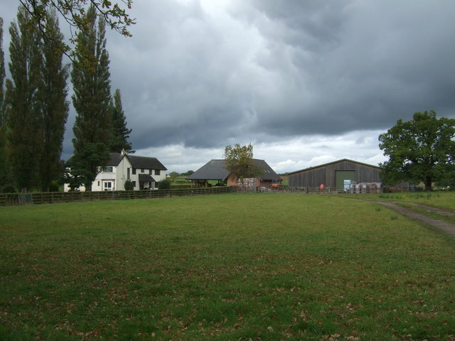
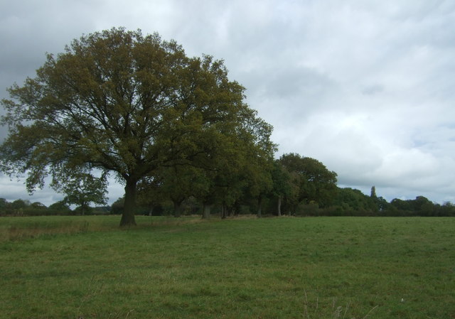
With a population of around 500 residents, Drointon is known for its tranquil and idyllic setting. The village is characterized by a charming mix of traditional stone houses, some of which date back to the 17th century. The surrounding landscape is dominated by lush green fields, rolling hills, and meandering streams, making it a haven for nature enthusiasts and walkers.

Despite its small size, Drointon boasts a strong sense of community. The village is home to a number of local amenities, including a village hall, a primary school, and a local pub that serves as a popular gathering spot for residents and visitors alike. Additionally, Drointon benefits from a regular bus service, connecting it to nearby towns and villages.

The village's proximity to the bustling market town of Uttoxeter provides residents with easy access to a wider range of amenities, including shops, supermarkets, leisure facilities, and a train station. Uttoxeter Racecourse, located just a short distance away, attracts visitors from far and wide with its thrilling horse racing events.

In conclusion, Drointon offers a charming rural retreat, allowing residents to enjoy the peace and tranquility of the countryside while still benefiting from the convenience of nearby amenities. Its picturesque setting and strong community spirit make it an appealing place to live for those seeking a slower pace of life.

If you have any feedback on the listing, please let us know in the comments section below.
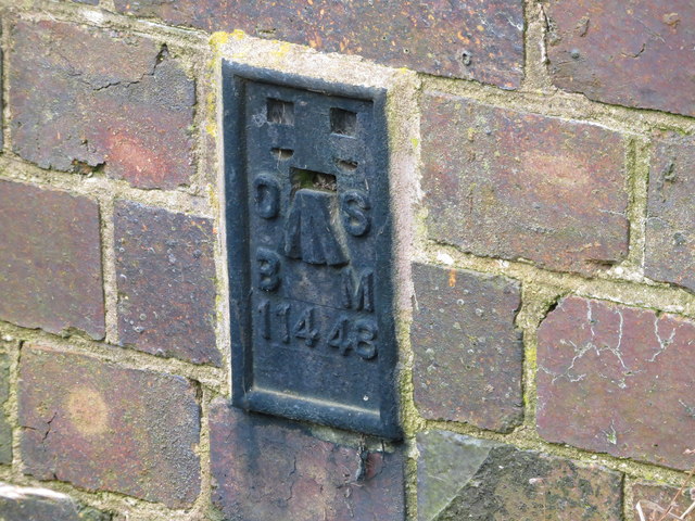
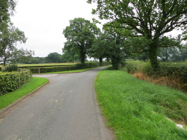
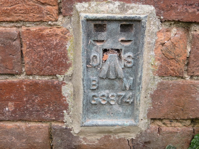
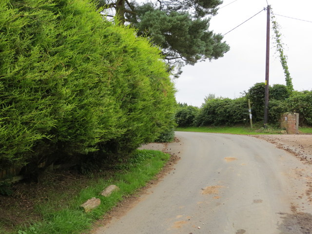
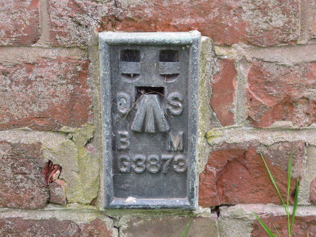
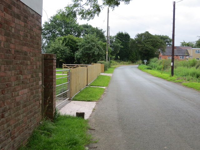
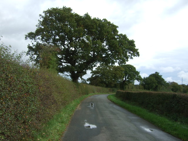
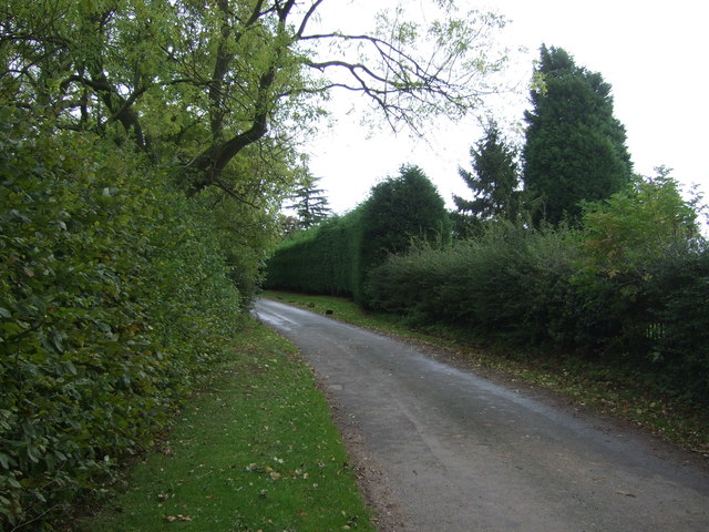
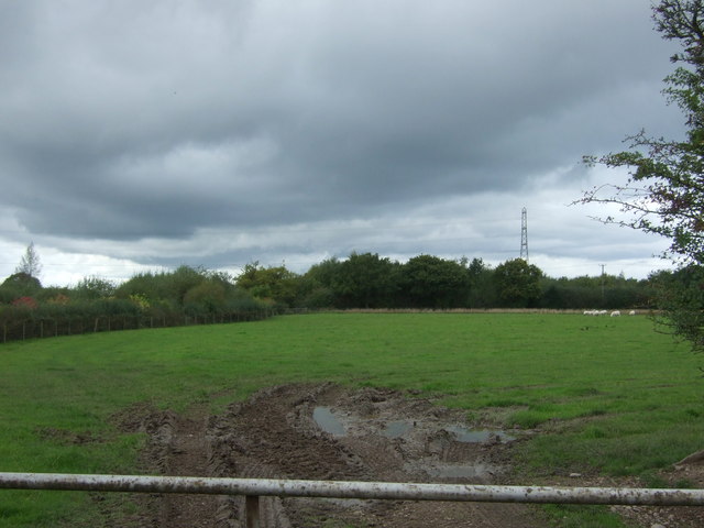
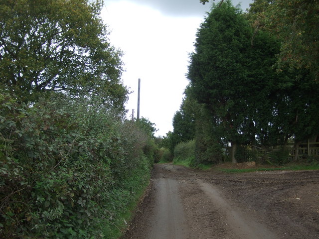
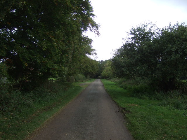
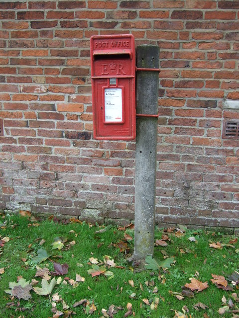
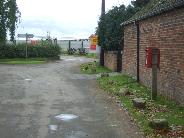
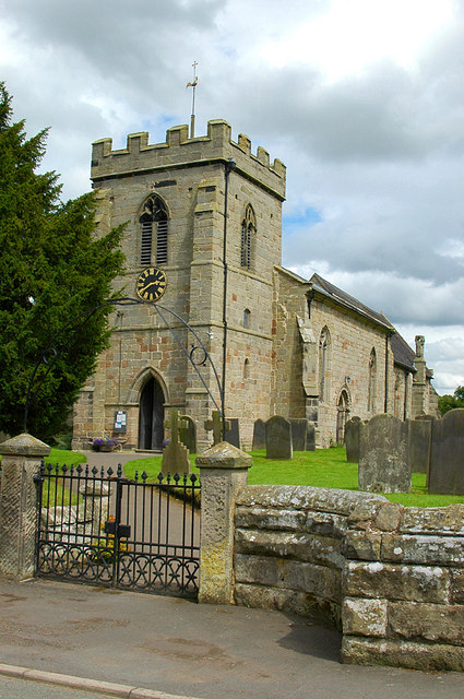
Drointon Images

Images are sourced within 2km of 52.838687/-1.966565 or Grid Reference SK0226. Thanks to Geograph Open Source API. All images are credited.

Ordnance Survey Flush Bracket 11448 This can be found on the parapet wall of a roadside drain near Normanswood Farm.
For more detail see : <span class="nowrap"><a title="http://www.bench-marks.org.uk/bm19179" rel="nofollow ugc noopener" href="http://www.bench-marks.org.uk/bm19179">Link</a><img style="margin-left:2px;" alt="External link" title="External link - shift click to open in new window" src="https://s1.geograph.org.uk/img/external.png" width="10" height="10"/></span>
Ordnance Survey Flush Bracket 11448
This can be found on the parapet wall of a roadside drain near Normanswood Farm. For more detail see : LinkExternal link
Drointon Lane near the entrance to Normanswood Farm Looking north-eastward.
Drointon Lane near the entrance to Normanswood Farm
Looking north-eastward.
Ordnance Survey Flush Bracket G3874 This can be found on the wall of a barn at Upper Farm, Drointon.
For more detail see : <span class="nowrap"><a title="http://www.bench-marks.org.uk/bm11084" rel="nofollow ugc noopener" href="http://www.bench-marks.org.uk/bm11084">Link</a><img style="margin-left:2px;" alt="External link" title="External link - shift click to open in new window" src="https://s1.geograph.org.uk/img/external.png" width="10" height="10"/></span>
Ordnance Survey Flush Bracket G3874
This can be found on the wall of a barn at Upper Farm, Drointon. For more detail see : LinkExternal link
Lane near Upper Farm at Drointon Looking north-eastward.
Lane near Upper Farm at Drointon
Looking north-eastward.
Ordnance Survey Flush Bracket G3873 This can be found on the roadside wall of a former barn - now a private dwelling - at Lea Heath Farm.
For more detail see : <span class="nowrap"><a title="http://www.bench-marks.org.uk/bm10450" rel="nofollow ugc noopener" href="http://www.bench-marks.org.uk/bm10450">Link</a><img style="margin-left:2px;" alt="External link" title="External link - shift click to open in new window" src="https://s1.geograph.org.uk/img/external.png" width="10" height="10"/></span>
Ordnance Survey Flush Bracket G3873
This can be found on the roadside wall of a former barn - now a private dwelling - at Lea Heath Farm. For more detail see : LinkExternal link
Lea Road at Lea Heath Farm Looking south-eastward.
Lea Road at Lea Heath Farm
Looking south-eastward.
Normanswood Farm
Normanswood Farm
Grazing and trees near Normanswood Farm
Minor road towards Drointon Looking north east.
Minor road towards Drointon
Looking north east.
Lane, Drointon Looking east.
Lane, Drointon
Looking east.
Grazing, Drointon
Grazing, Drointon
Muddy lane near Plough Farm Heading north east from Drointon.
Muddy lane near Plough Farm
Heading north east from Drointon.
Muddy field entrance near Moss Rise Farm
Lane approaching Moss Rise Farm Looking north east.
Lane approaching Moss Rise Farm
Looking north east.
Houses near Moss Rise Farm
Elizabeth II postbox, Drointon Postbox No. ST18 150.

See <a href="https://www.geograph.org.uk/photo/5565783">SK0226 : Minor road junction, Drointon</a> for context.
Elizabeth II postbox, Drointon
Postbox No. ST18 150. See SK0226 : Minor road junction, Drointon for context.
Minor road junction, Drointon Showing position of Postbox No. ST18 150.

See <a href="https://www.geograph.org.uk/photo/5565781">SK0226 : Elizabeth II postbox, Drointon</a> for postbox.
Minor road junction, Drointon
Showing position of Postbox No. ST18 150. See SK0226 : Elizabeth II postbox, Drointon for postbox.
Old Milepost by the A518, Manor Farm, Stowe parish Cast iron post by the A518, in parish of STOWE (STAFFORD District), Manor Farm, on grass in front of brick wall, on Southeast side of road. Lathe iron casting, erected by the County Council in the 19th/20th century. 

Inscription reads:-
: WESTON 3¼ / STAFFORD 8 : : STOWE : : UTTOXETER 6 :
Maker:-
: Chas. Lathe, Tipton. :

Staffordshire HER.
HER Number: 51353 <span class="nowrap"><a title="https://www.heritagegateway.org.uk/Gateway/Results_Single.aspx?uid=MST12577&resourceID=1010" rel="nofollow ugc noopener" href="https://www.heritagegateway.org.uk/Gateway/Results_Single.aspx?uid=MST12577&resourceID=1010">Link</a><img style="margin-left:2px;" alt="External link" title="External link - shift click to open in new window" src="https://s1.geograph.org.uk/img/external.png" width="10" height="10"/></span>

Milestone Society National ID: ST_STUT08.
Old Milepost by the A518, Manor Farm, Stowe parish
Cast iron post by the A518, in parish of STOWE (STAFFORD District), Manor Farm, on grass in front of brick wall, on Southeast side of road. Lathe iron casting, erected by the County Council in the 19th/20th century. Inscription reads:- : WESTON 3¼ / STAFFORD 8 : : STOWE : : UTTOXETER 6 : Maker:- : Chas. Lathe, Tipton. : Staffordshire HER. HER Number: 51353 LinkExternal link Milestone Society National ID: ST_STUT08.
Show me another place!

Drointon is located at Grid Ref: SK0226 (Lat: 52.838687, Lng: -1.966565)

Administrative County: Staffordshire

District: Stafford

Police Authority: Staffordshire

What 3 Words

///delivers.perused.chucks. Near Great Haywood, Staffordshire

Nearby Locations

Lea Heath Drointon

Related Wikis

Chartley Moss

Chartley Moss is a 105.80 hectare biological Site of Special Scientific Interest in Staffordshire, notified in 1987. The area has been designated as an...

Stowe-by-Chartley

Stowe-by-Chartley is a village and civil parish in the Borough of Stafford, Staffordshire, England. According to the parish council, the parish includes...

Chartley railway station

Chartley railway station was a former British railway station to serve the village of Stowe-by-Chartley in Staffordshire. It was opened by the Stafford...
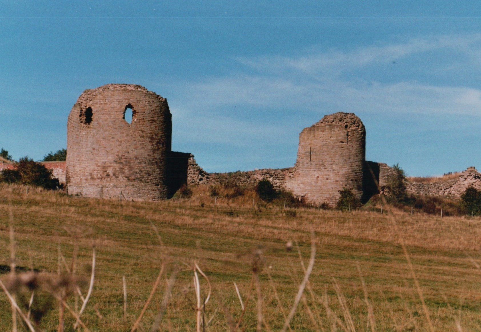
Chartley Castle

Chartley Castle lies in ruins to the north of the village of Stowe-by-Chartley in Staffordshire, between Stafford and Uttoxeter (grid reference SK010285...

Hixon, Staffordshire

Hixon is a village and a civil parish in the English county of Staffordshire.grid reference SK003259 == Location == The village is 7.8 miles (12.6 km)...

Amerton

Amerton is a small village in the Borough of Stafford, Staffordshire, England, situated on the A518 road between Stafford and Uttoxeter. The population...

Grindley railway station

Grindley railway station was a former British railway station to serve the village of Grindley in Staffordshire. It was opened by the Stafford and Uttoxeter...
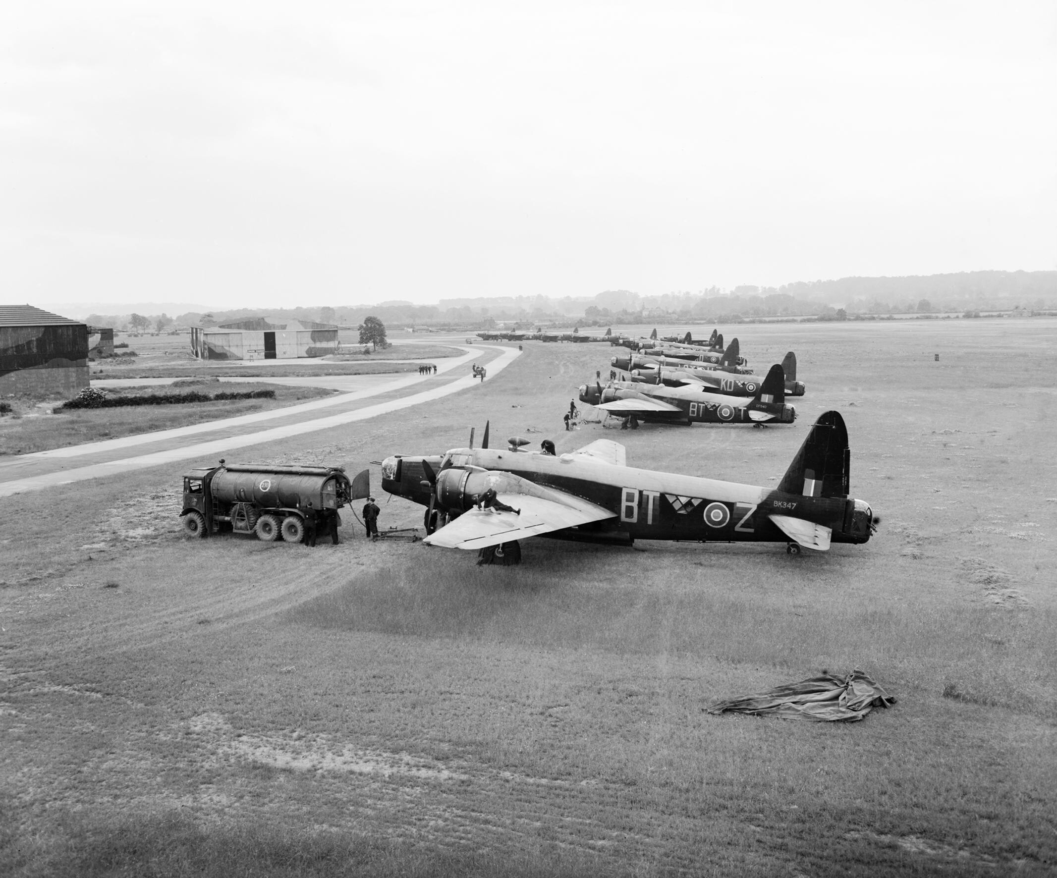
RAF Hixon

Royal Air Force Hixon, or more simply RAF Hixon, was a Royal Air Force station located on the north western edge of the village of Hixon in Staffordshire...

Nearby Amenities

Located within 500m of 52.838687,-1.966565
Drointon
Place: hamlet
Lat/Long: 52.8395498/-1.9665526
Power: tower
Source: Bing
Lat/Long: 52.8343088/-1.9681782
Power: tower
Source: Bing
Lat/Long: 52.8399767/-1.9683874
Power: tower
Source: Bing
Lat/Long: 52.8367199/-1.9693959
Generator Method: wind_turbine
Generator Source: wind
Generator Type: horizontal_axis
Power: generator
Lat/Long: 52.8418412/-1.9706833
Post Box
Lat/Long: 52.8398228/-1.9656186
Barrier: stile
Bicycle: no
Foot: yes
Material: wood
Stile: stepover
Lat/Long: 52.8405794/-1.9622011
Generator Method: photovoltaic
Generator Output Electricity: yes
Generator Source: solar
Generator Type: solar_photovoltaic_panel
Location: roof
Power: generator
Lat/Long: 52.8385831/-1.9649541
The data included in this document is from www.openstreetmap.org. The data is made available under ODbL.

Have you been to Drointon?

Leave your review of Drointon below (or comments, questions and feedback).