Easter Hare Cleugh

Valley in East Lothian

Scotland

Easter Hare Cleugh

Kerson's Cleugh A typical shallow Lammermuir drainage.
Kerson's Cleugh Credit: Richard Webb

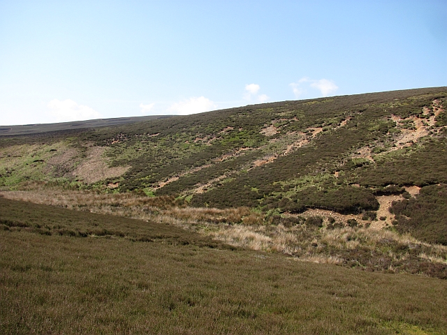
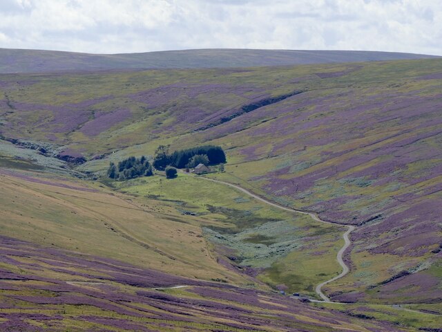
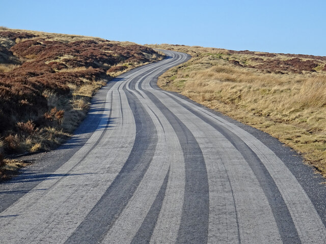
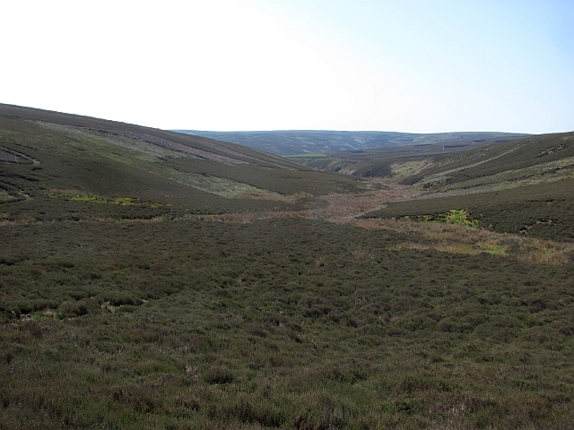
Easter Hare Cleugh is a picturesque valley located in East Lothian, Scotland. Nestled amidst the beautiful countryside, this valley offers stunning views and a peaceful ambiance to visitors and locals alike. The name "Cleugh" is derived from the Scots word for a narrow valley or ravine, and Easter Hare Cleugh lives up to its name with its deep, winding gorge.

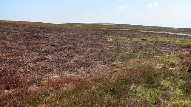
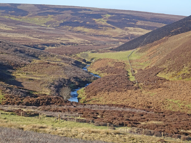
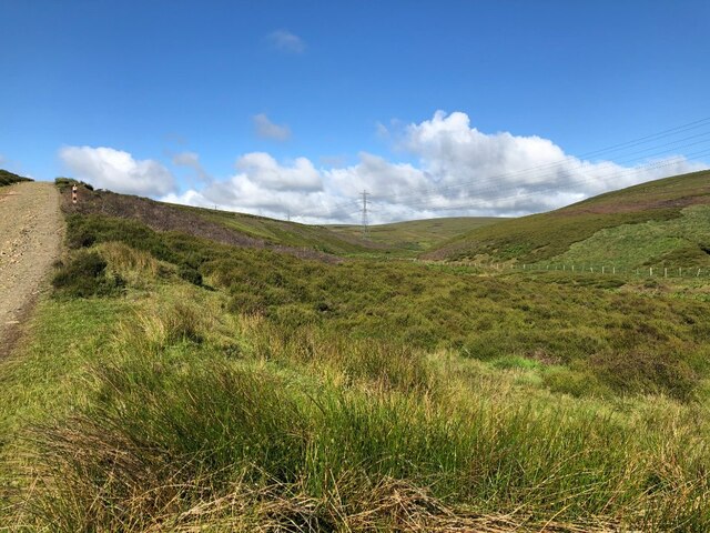
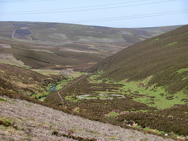
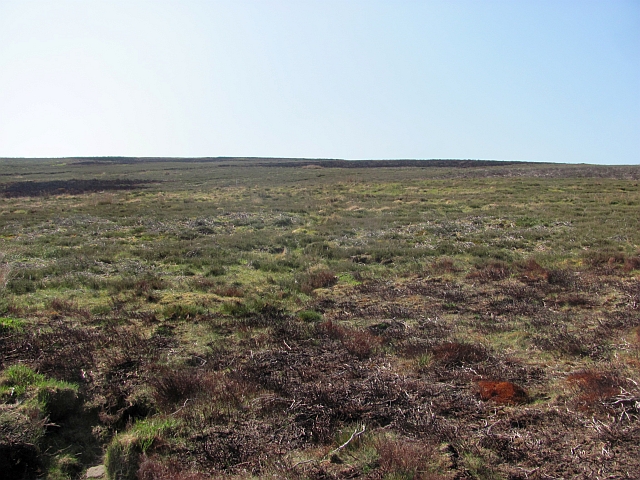
The valley is characterized by its lush greenery, rolling hills, and meandering streams. It is home to a diverse range of flora and fauna, making it a haven for nature lovers and wildlife enthusiasts. Visitors can expect to spot various species of birds, small mammals, and even the occasional deer or hare.

Easter Hare Cleugh is also known for its historical significance. The remains of an ancient Roman road can be found in the valley, serving as a reminder of the area's rich past. This road was once part of the larger network of Roman routes that connected important settlements in the region.

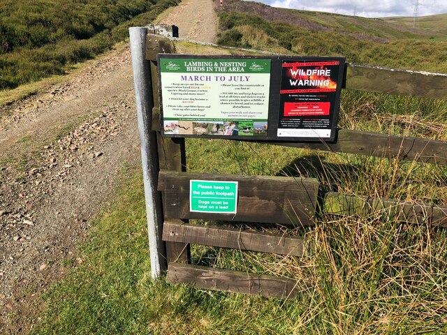
For outdoor enthusiasts, Easter Hare Cleugh offers ample opportunities for hiking and exploring. There are several well-marked trails that wind through the valley, allowing visitors to take in the breathtaking scenery at their own pace. The tranquility and serenity of the area make it an ideal spot for picnics or simply enjoying a leisurely stroll.

Overall, Easter Hare Cleugh is a hidden gem in East Lothian, offering a combination of natural beauty and historical significance that is sure to captivate anyone who visits.

If you have any feedback on the listing, please let us know in the comments section below.

Easter Hare Cleugh Images

Images are sourced within 2km of 55.842187/-2.6118731 or Grid Reference NT6161. Thanks to Geograph Open Source API. All images are credited.

Kerson's Cleugh A typical shallow Lammermuir drainage.
Kerson's Cleugh
A typical shallow Lammermuir drainage.
On Byrecleugh Ridge Burnt heather on Lammermuir moorland.  I had resisted an attempt to restrict my movements to the roads earlier in the day and tried to negotiate a "deal" where I kept out of the long heather.  Note to moorland keepers: Nobody, Nobody likes walking in deep heather! You really have nothing to worry about from dogless hillwalkers.  

It is really easy to avoid the long heather here and progress is fast.
On Byrecleugh Ridge
Burnt heather on Lammermuir moorland. I had resisted an attempt to restrict my movements to the roads earlier in the day and tried to negotiate a "deal" where I kept out of the long heather. Note to moorland keepers: Nobody, Nobody likes walking in deep heather! You really have nothing to worry about from dogless hillwalkers. It is really easy to avoid the long heather here and progress is fast.
Bog, Killpallet Heights A green bog hole, the sort from which I have pulled out a few lambs over the years. The skyline is enjoying its last year as the outrageous Fallago Rig wind farm is being built - slap bang in the middle of the Lammermuir Hills.
Bog, Killpallet Heights
A green bog hole, the sort from which I have pulled out a few lambs over the years. The skyline is enjoying its last year as the outrageous Fallago Rig wind farm is being built - slap bang in the middle of the Lammermuir Hills.
Kilpallet
Kilpallet
Faseny Water Looking upstream of the Faseny Water on a balmy early spring day. Recent muirburn can be seen on the slopes of Herd's Hill.
Faseny Water
Looking upstream of the Faseny Water on a balmy early spring day. Recent muirburn can be seen on the slopes of Herd's Hill.
Stripy Road Recent resurfacing has resulted in car tyres making these striking patterns on the minor road between Longformacus and Gifford.
Stripy Road
Recent resurfacing has resulted in car tyres making these striking patterns on the minor road between Longformacus and Gifford.
Keep out sign, Faseny Bridge Dubious signage, there are no "footpaths" in the Lammermuir Hills, so this is a straight up goml sign. One for the East Lothian Council Access Officer.    There were other examples nearby.

The irony of the fire warnings was not lost on me either. Fortunately the dry spell is now a memory.
Keep out sign, Faseny Bridge
Dubious signage, there are no "footpaths" in the Lammermuir Hills, so this is a straight up goml sign. One for the East Lothian Council Access Officer. There were other examples nearby. The irony of the fire warnings was not lost on me either. Fortunately the dry spell is now a memory.
Faseny Water Upstream of Faseny Bridge.
Faseny Water
Upstream of Faseny Bridge.
Faseny Water View upstream from under the pylons.
Faseny Water
View upstream from under the pylons.
Lammermuir moorland An as yet unthreatened corner of the Lammermuir Hills on Hare Cleugh Rig.
Lammermuir moorland
An as yet unthreatened corner of the Lammermuir Hills on Hare Cleugh Rig.
Faseny Water The burn, seen through one of the Torness power line pylons.
Faseny Water
The burn, seen through one of the Torness power line pylons.
Torness power line and road 400kV power line exporting electricity from Torness power station and will also be receiving a trickle from the disgusting Fallago Rig wind farm in the near future. Construction could be heard in the distance.
Torness power line and road
400kV power line exporting electricity from Torness power station and will also be receiving a trickle from the disgusting Fallago Rig wind farm in the near future. Construction could be heard in the distance.
Torness power line and road Crossing Killpallet Heights on a hot (mid twenties) day.
Torness power line and road
Crossing Killpallet Heights on a hot (mid twenties) day.
Kerson's Cleugh A tongue of East Lothian between two burns.
Kerson's Cleugh
A tongue of East Lothian between two burns.
Estate road and electricity transmission lines passing Killpallet Heights A light snow covering over the Lammermuir Hills transforms the heather moorland. The view is towards the hills of Spartleton Edge, the highest of which is Spartleton itself.
Estate road and electricity transmission lines passing Killpallet Heights
A light snow covering over the Lammermuir Hills transforms the heather moorland. The view is towards the hills of Spartleton Edge, the highest of which is Spartleton itself.
Faseny Water Valley The Herring Road, an old path from Lauder to Dunbar, crosses Faseny Water just down from the centre of the photograph.
Faseny Water Valley
The Herring Road, an old path from Lauder to Dunbar, crosses Faseny Water just down from the centre of the photograph.
Faseny Bridge Spans Faseny Water.
Faseny Bridge
Spans Faseny Water.
Herring Road A modern estate road on an old trade route running south from Dunbar. The track runs beside the Faseny Water which forms the boundary between East Lothian and Berwickshire.
Herring Road
A modern estate road on an old trade route running south from Dunbar. The track runs beside the Faseny Water which forms the boundary between East Lothian and Berwickshire.
Show me another place!

Easter Hare Cleugh is located at Grid Ref: NT6161 (Lat: 55.842187, Lng: -2.6118731)

Unitary Authority: East Lothian

Police Authority: The Lothians and Scottish Borders

What 3 Words

///crafts.nozzles.episode. Near Lauder, Scottish Borders

Related Wikis

Mutiny Stones

The Mutiny Stones are a megalithic monument in the Lammermuir Hills, Scotland.Situated on Byrecleugh Rig, the nearest centre of habitation is at Longformacus...

Whiteadder Reservoir

Whiteadder Reservoir is a reservoir in East Lothian, Scotland, UK, in the Lammermuir Hills, 11 miles (18 km) north west of Duns in the Scottish Borders...

Cranshaws

Cranshaws is a village on the B6355 road, near Duns, in the Scottish Borders area of Scotland, in the former Berwickshire. Of Cranshaws Castle only the...

Black Castle, East Lothian

Black Castle, East Lothian is an Iron Age hillfort with a number of defensive banks, located 5 kilometres (3.1 mi) south-east of Gifford, East Lothian...

Watch Water

The Watch Water is a river in the Scottish Borders area of Scotland. It rises in the Lammermuir Hills, around 8 kilometres (5.0 mi) west of Longformacus...

Cranshaws Castle

Cranshaws Castle or Cranshaws Tower is a privately owned 15th-century pele situated by the village of Cranshaws in Berwickshire, Scotland. The building...

Bothwell Water

The Bothwell Water is a river in the Scottish Borders area of Scotland. It rises in the Lammermuir Hills near Caldercleugh and continues past the Upper...

Hopes Reservoir

Hopes Reservoir is a small reservoir in East Lothian, Scotland, in the Lammermuir Hills. It is located in the parish of Yester, 6 km (3.7 mi) south of...

Have you been to Easter Hare Cleugh?

Leave your review of Easter Hare Cleugh below (or comments, questions and feedback).