Hope Valley

Valley in Gloucestershire Forest of Dean

England

Hope Valley

Station Road, Lydney From the level crossing.
Station Road, Lydney Credit: JThomas

Hope Valley is a picturesque area located in the county of Gloucestershire, England. Nestled in the heart of the Cotswolds, it is renowned for its breathtaking natural beauty and charming rural atmosphere. The valley is situated between two hills, creating a serene and idyllic setting that attracts visitors from near and far.

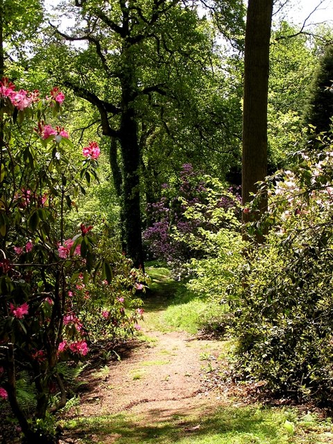
The landscape of Hope Valley is characterized by rolling hills, lush green meadows, and meandering streams. The area is dotted with traditional stone cottages, quaint villages, and historic landmarks, giving it a timeless charm. The valley is blessed with an abundance of flora and fauna, making it a haven for nature enthusiasts and avid hikers.

One of the main attractions in Hope Valley is its extensive network of walking trails, which offer stunning views of the surrounding countryside. The famous Cotswold Way passes through the valley, providing an opportunity to explore the area's natural wonders. Additionally, the valley is home to several nature reserves, including the Lower Woods, which is known for its diverse wildlife and ancient woodland.

The villages in Hope Valley are known for their friendly communities and traditional English charm. Visitors can immerse themselves in the local culture by visiting the village pubs, attending traditional events, or browsing through the independent shops and boutiques.

Overall, Hope Valley in Gloucestershire offers a tranquil and scenic escape for those seeking a taste of rural England. Its natural beauty, rich history, and warm hospitality make it a must-visit destination for both locals and tourists alike.

If you have any feedback on the listing, please let us know in the comments section below.
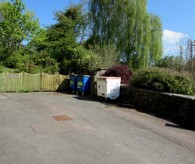
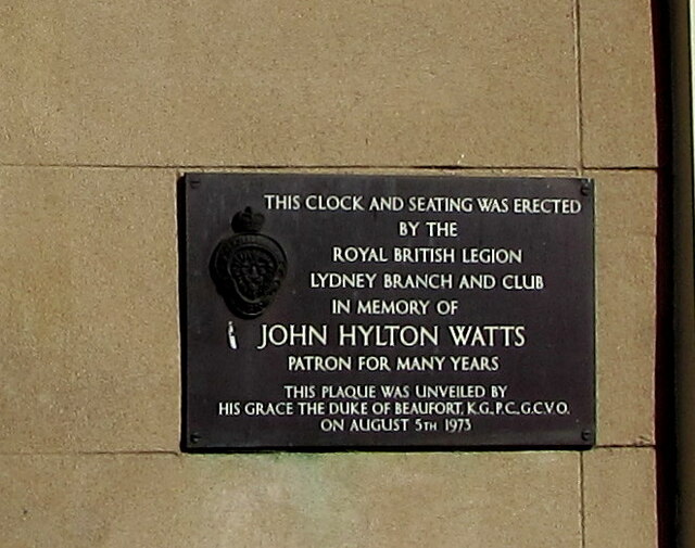
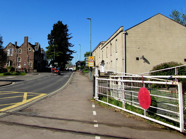
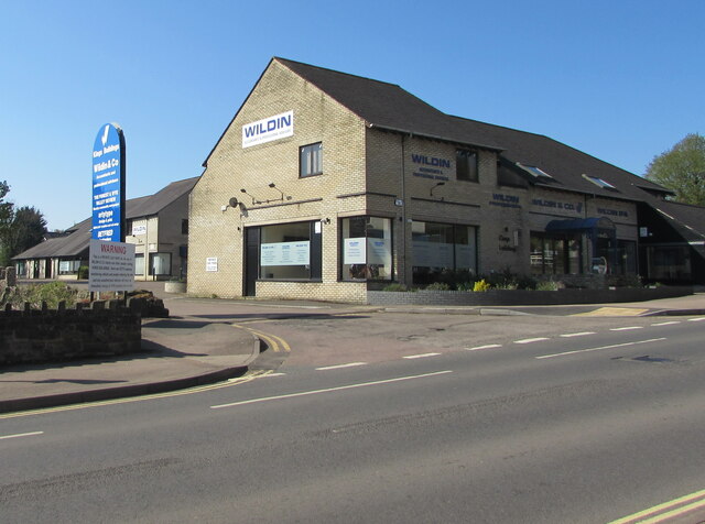
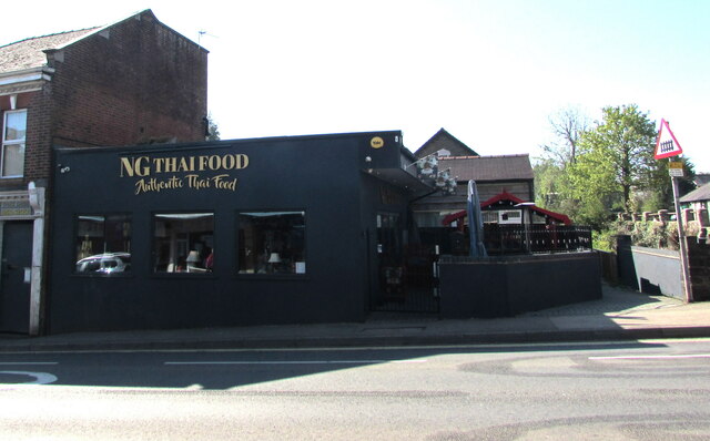
Hope Valley Images

Images are sourced within 2km of 51.721925/-2.5550876 or Grid Reference SO6102. Thanks to Geograph Open Source API. All images are credited.

Station Road, Lydney From the level crossing.
Station Road, Lydney
From the level crossing.
Directions sign, Hill Street, Lydney On a lamppost on the approach to the B4234 for Whitecroft and Parkend.
Directions sign, Hill Street, Lydney
On a lamppost on the approach to the B4234 for Whitecroft and Parkend.
Suez wheelie bins, Lydney Large wheelie bins near the corner of Hill Street and Hill View in May 2021.
Suez wheelie bins, Lydney
Large wheelie bins near the corner of Hill Street and Hill View in May 2021.
Up Hill View, Lydney Dead-end Hill View ascends from Hill Street.
Up Hill View, Lydney
Dead-end Hill View ascends from Hill Street.
Warning sign alongside Hill Street, Lydney Showing Patrol 85yds. The car is turning into Bathurst Park Road in May 2021.
Warning sign alongside Hill Street, Lydney
Showing Patrol 85yds. The car is turning into Bathurst Park Road in May 2021.
Single-track railway in Lydney This part of the heritage Dean Forest Railway is past the edge of Town Station Business Park.
Single-track railway in Lydney
This part of the heritage Dean Forest Railway is past the edge of Town Station Business Park.
Town Station Business Park access road, Lydney On the north side of Hill Street.
Town Station Business Park access road, Lydney
On the north side of Hill Street.
Thank You to our NHS workers and all key workers, Lydney Alongside Town Station Business Park access road in May 2021 during the Coronavirus (COVID-19) pandemic.
Thank You to our NHS workers and all key workers, Lydney
Alongside Town Station Business Park access road in May 2021 during the Coronavirus (COVID-19) pandemic.
Town Station Business Park name sign, Lydney In the background here <a title="https://www.geograph.org.uk/photo/6983679" href="https://www.geograph.org.uk/photo/6983679">Link</a> in May 2021. Also shown are a Lydney Space Station sign and a Velux sign. The rusty railings on the left are at the edge of the heritage Dean Forest Railway. <a title="https://www.geograph.org.uk/photo/6983653" href="https://www.geograph.org.uk/photo/6983653">Link</a>
Town Station Business Park name sign, Lydney
In the background here Link in May 2021. Also shown are a Lydney Space Station sign and a Velux sign. The rusty railings on the left are at the edge of the heritage Dean Forest Railway. Link
Dominant trees in Lydney Viewed across Hill Street.
Dominant trees in Lydney
Viewed across Hill Street.
SSE along Bathurst Park Road, Lydney From Hill Street, Bathurst Park Road leads to Bathurst Park. 
Formerly Lydney Police Station, the building on the corner is now (2021) in business use.
SSE along Bathurst Park Road, Lydney
From Hill Street, Bathurst Park Road leads to Bathurst Park. Formerly Lydney Police Station, the building on the corner is now (2021) in business use.
Stay Safe, Shop Local, Lydney On a Hill Street lamppost in May 2021 during the Coronavirus (COVID-19) pandemic.
Stay Safe, Shop Local, Lydney
On a Hill Street lamppost in May 2021 during the Coronavirus (COVID-19) pandemic.
Windows on the west side of Watney Hall, Lydney The name sign shows WATNEY HALL AT 3 HILL STREET.
Windows on the west side of Watney Hall, Lydney
The name sign shows WATNEY HALL AT 3 HILL STREET.
Sorry We Are Closed, Watney Hall, Lydney The notice is at the entrance to Watney Hall at 3 Hill Street in May 2021 during the Coronavirus (COVID-19) pandemic. It shows 

SORRY WE ARE CLOSED. 

We did try to open but we completely understand why some customers do not feel comfortable and it was difficult to socialise in the safe environment that we have created.

We will keep the matter under review in line with the regulations, but we do not expect to reopen until at least October.
Sorry We Are Closed, Watney Hall, Lydney
The notice is at the entrance to Watney Hall at 3 Hill Street in May 2021 during the Coronavirus (COVID-19) pandemic. It shows SORRY WE ARE CLOSED. We did try to open but we completely understand why some customers do not feel comfortable and it was difficult to socialise in the safe environment that we have created. We will keep the matter under review in line with the regulations, but we do not expect to reopen until at least October.
Plaque dated 1973, Hill Street, Lydney The plaque on the wall of 3 Hill Street <a title="https://www.geograph.org.uk/photo/3805239" href="https://www.geograph.org.uk/photo/3805239">Link</a> shows THIS CLOCK AND SEATING WAS ERECTED BY THE ROYAL BRITISH LEGION LYDNEY BRANCH AND CLUB IN MEMORY OF JOHN HYLTON WATTS PATRON FOR MANY YEARS. THIS PLAQUE WAS UNVEILED BY HIS GRACE THE DUKE OF BEAUFORT K.G. P.C. G.C.V.O. ON AUGUST 5TH 1973.
Plaque dated 1973, Hill Street, Lydney
The plaque on the wall of 3 Hill Street Link shows THIS CLOCK AND SEATING WAS ERECTED BY THE ROYAL BRITISH LEGION LYDNEY BRANCH AND CLUB IN MEMORY OF JOHN HYLTON WATTS PATRON FOR MANY YEARS. THIS PLAQUE WAS UNVEILED BY HIS GRACE THE DUKE OF BEAUFORT K.G. P.C. G.C.V.O. ON AUGUST 5TH 1973.
Level crossing gate, Hill Street, Lydney In the foreground the track of the Dean Forest Railway crosses Hill Street.
Level crossing gate, Hill Street, Lydney
In the foreground the track of the Dean Forest Railway crosses Hill Street.
Wildin & Co, Hill Street, Lydney Accountants offices in King's Buildings.
Wildin & Co, Hill Street, Lydney
Accountants offices in King's Buildings.
NG Thai Food, 18 Hill Street, Lydney On the right here. <a title="https://www.geograph.org.uk/photo/6869015" href="https://www.geograph.org.uk/photo/6869015">Link</a>
NG Thai Food, 18 Hill Street, Lydney
On the right here. Link
Show me another place!

Hope Valley is located at Grid Ref: SO6102 (Lat: 51.721925, Lng: -2.5550876)

Administrative County: Gloucestershire

District: Forest of Dean

Police Authority: Gloucestershire

What 3 Words

///starter.obstruct.homes. Near Lydney, Gloucestershire

Related Wikis

Lydney Park

Lydney Park is a 17th-century country estate surrounding Lydney House, located at Lydney in the Forest of Dean district in Gloucestershire, England. It...

Aylburton

Aylburton is a village and civil parish in the Forest of Dean district of Gloucestershire, England, on the A48 road about two miles south-west of Lydney...
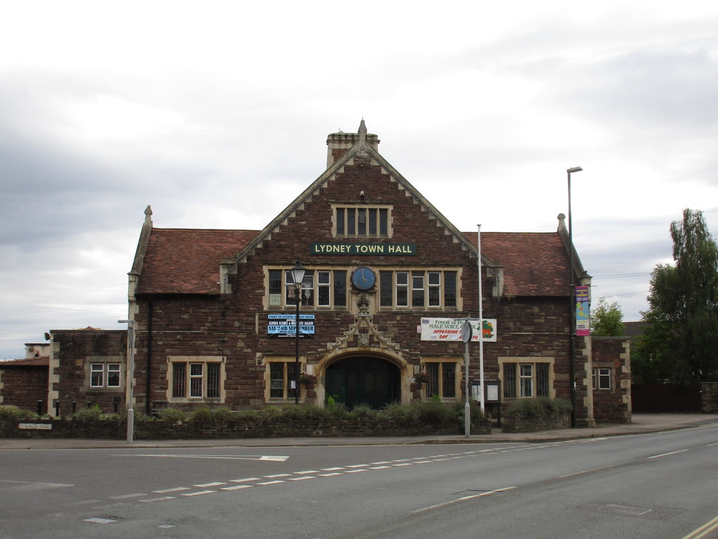
Lydney Town Hall

Lydney Town Hall is a municipal structure in the High Street, Lydney, Gloucestershire, England. The structure, which is used as an events venue, is listed...

The Dean Academy

The Dean Academy (formerly Whitecross School) is a mixed secondary school located in Lydney in the English county of Gloucestershire. == Location == The...

White Cross Manor

White Cross Manor was the manor house in Lydney, Gloucestershire, England, of the Wynter family. It was burnt to the ground in April 1645 on the orders...

Tufts Junction

Tufts Junction was a junction on the Severn and Wye Railway between Lydney Town and Whitecroft, England. The junction is now on the Dean Forest Railway...

Lydney Town railway station

Lydney Town railway station is a railway station on the Dean Forest Railway in Lydney in Gloucestershire. == History == The station which is situated in...

St Mary's Halt railway station

St. Mary's Halt was a small railway station halt on the Dean Forest Railway. It served the local park and lake, both near the station, and was the original...

Nearby Amenities

Located within 500m of 51.721925,-2.5550876
Historic: archaeological_site
Lat/Long: 51.7211004/-2.5576911
Historic: ruins
Lat/Long: 51.7208212/-2.5580451
Turning Circle
Lat/Long: 51.7207874/-2.5535413
Little Camp Hill
Place: locality
Wikidata: Q24660030
Lat/Long: 51.7198766/-2.5545081
Hope Valley
Place: locality
Lat/Long: 51.7221886/-2.5545813
Old Park Valley
Place: locality
Lat/Long: 51.7252518/-2.5547658
Kites Redding Hill
Place: locality
Lat/Long: 51.7221299/-2.5620566
Plane Tree Valley
Place: locality
Lat/Long: 51.7217177/-2.5592111
Camp Hill
Place: locality
Lat/Long: 51.7215248/-2.5565071
The data included in this document is from www.openstreetmap.org. The data is made available under ODbL.

Have you been to Hope Valley?

Leave your review of Hope Valley below (or comments, questions and feedback).