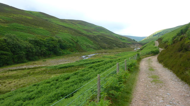
Dry Clough

Valley in Yorkshire Ribble Valley

England

Dry Clough
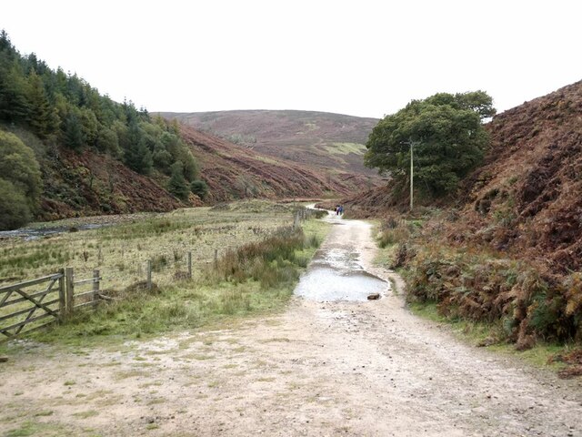
Track to Langden Castle The track above Langden Intake reaches into the heart of the Bowland Fells.
Track to Langden Castle Credit: Oliver Dixon

Dry Clough is a picturesque valley located in Yorkshire, England. It is known for its stunning natural beauty, with rolling hills, lush greenery, and a tranquil atmosphere. The valley is surrounded by dense woodlands and dotted with charming villages, making it a popular destination for hikers, nature lovers, and outdoor enthusiasts.

Dry Clough is home to a variety of wildlife, including deer, birds, and other small animals, making it a haven for nature lovers and wildlife enthusiasts. The valley is also known for its rich history, with ancient ruins and historic sites scattered throughout the area.

Visitors to Dry Clough can enjoy a range of outdoor activities, including hiking, cycling, and birdwatching. The valley is crisscrossed with a network of scenic trails, offering stunning views of the surrounding countryside.

Overall, Dry Clough is a peaceful and idyllic destination, perfect for those looking to escape the hustle and bustle of city life and immerse themselves in the natural beauty of the Yorkshire countryside.

If you have any feedback on the listing, please let us know in the comments section below.

Dry Clough Images

Images are sourced within 2km of 53.954553/-2.5895634 or Grid Reference SD6151. Thanks to Geograph Open Source API. All images are credited.

Track to Langden Castle The track above Langden Intake reaches into the heart of the Bowland Fells.
Track to Langden Castle
The track above Langden Intake reaches into the heart of the Bowland Fells.
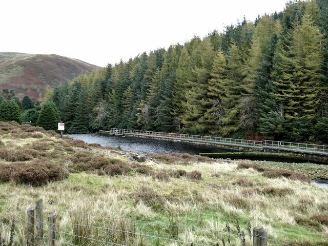
Langden Intake Lagoon Part of the infrastructure for the Preston water supply.
Langden Intake Lagoon
Part of the infrastructure for the Preston water supply.
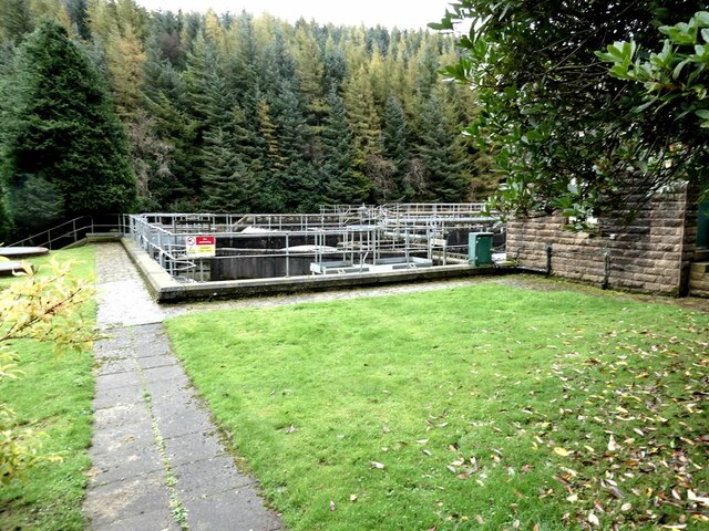
Settling tanks at  Langden Intake Part of the infrastructure for the Preston water supply.
Settling tanks at Langden Intake
Part of the infrastructure for the Preston water supply.
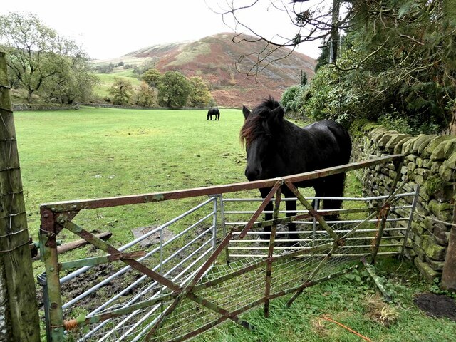
Horses in field near Langden Intake Sykes Nab <a href="https://www.geograph.org.uk/gridref/SD6351">SD6351</a> in the background.
Horses in field near Langden Intake
Sykes Nab SD6351 in the background.
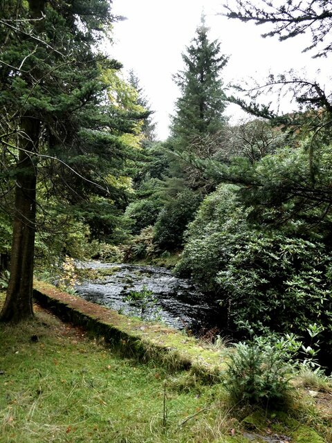
Langden Brook The well-wooded stretch of the Brook below Langden Intake.
Langden Brook
The well-wooded stretch of the Brook below Langden Intake.
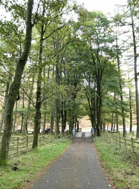
Service road from Langden Intake The tree-lined service road from the Preston waterworks crosses the Losterdale Brook by a reinforced bridge.
Service road from Langden Intake
The tree-lined service road from the Preston waterworks crosses the Losterdale Brook by a reinforced bridge.
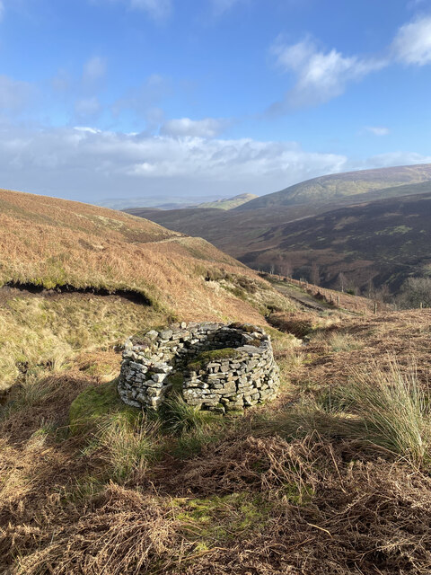
Grouse Butt, Higher Dry Clough Grouse butt used as a hide / wind break for grouse shooting. This particular one is lower down the hillside than the series of grouse butts indicated on the 1:25k OS map.
Grouse Butt, Higher Dry Clough
Grouse butt used as a hide / wind break for grouse shooting. This particular one is lower down the hillside than the series of grouse butts indicated on the 1:25k OS map.
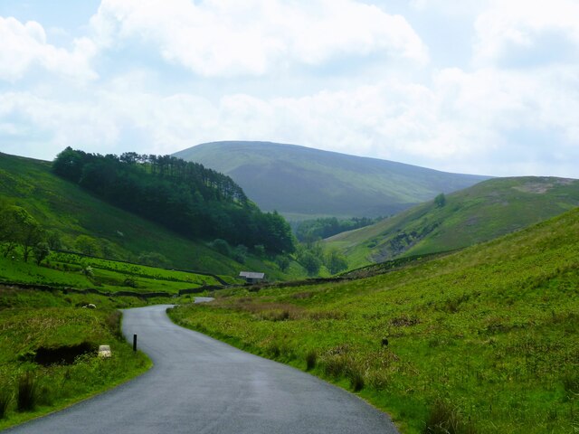
Trough of Bowland View south at Sniddle Holes to Trough Barn
Trough of Bowland
View south at Sniddle Holes to Trough Barn
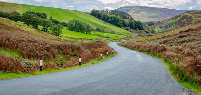
Looking down the Trough of Bowland Road
Path Near Langden Brook
United Utilities Langden Valley Facility
United Utilities Building Along Langden Valley
Langden Brook
Langden Brook
Langden Brook
Langden Brook
Losterdale Brook
Losterdale Brook
Losterdale Intake
Losterdale Intake
Bridge ,Trough of Bowland Dunsop Bridge is to the left.
Bridge ,Trough of Bowland
Dunsop Bridge is to the left.
Trough Road near Sykes in the Trough of Bowland A steep section of Trough Road. Sykes Nab is on the left and Langden Brook just out of view to the right.
Trough Road near Sykes in the Trough of Bowland
A steep section of Trough Road. Sykes Nab is on the left and Langden Brook just out of view to the right.
Show me another place!

Dry Clough is located at Grid Ref: SD6151 (Lat: 53.954553, Lng: -2.5895634)

Division: West Riding

Administrative County: Lancashire

District: Ribble Valley

Police Authority: Lancashire

What 3 Words

///exploring.hops.fracture. Near Bay Horse, Lancashire

Nearby Locations

Dry Clough

Related Wikis

Forest of Bowland

The Forest of Bowland, also known as the Bowland Fells and formerly the Chase of Bowland, is an area of gritstone fells, deep valleys and peat moorland...

Trough of Bowland

The Trough of Bowland is a valley and high pass in the Forest of Bowland Area of Outstanding Natural Beauty, Lancashire, England. The pass, reaching 968...

Grey Stone of Trough

The Grey Stone of Trough is an historic boundary marker in Bowland Forest High, in the Trough of Bowland, Lancashire, England. A Grade II listed structure...

Sykes Smelt Mill

Sykes Smelt Mill was a mediaeval mill located between Sykes and Hareden in Bowland Forest High, Lancashire, England. It stood on the banks of Langden Brook...

Nearby Amenities

Located within 500m of 53.954553,-2.5895634
Mouse Hill
Place: locality
Lat/Long: 53.9532068/-2.5868189
The data included in this document is from www.openstreetmap.org. The data is made available under ODbL.

Have you been to Dry Clough?

Leave your review of Dry Clough below (or comments, questions and feedback).