Greenlough Clough

Valley in Lancashire Ribble Valley

England

Greenlough Clough

Old Boundary Marker on the way to Saddle Fell, Chipping War Department Boundary Marker beside a path from Saddle End Farm to Saddle Fell. Chipping parish. Inscribed W ↑ D / No 34. See also <a title="https://www.geograph.org.uk/photo/2243015" href="https://www.geograph.org.uk/photo/2243015">Link</a>.

Milestone Society National ID: LA_WDCHIP34em
Old Boundary Marker on the way to Saddle Fell, Chipping Credit: S Lister

The requested URL returned error: 429 Too Many Requests

If you have any feedback on the listing, please let us know in the comments section below.

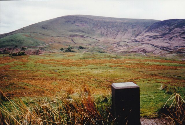
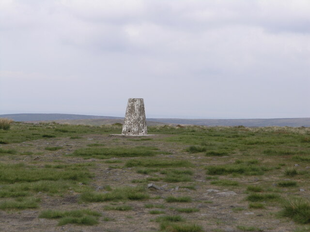
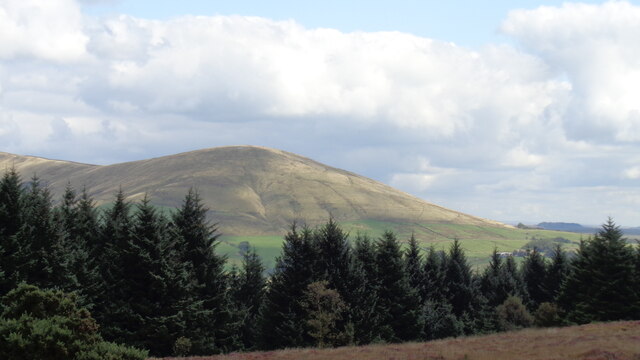
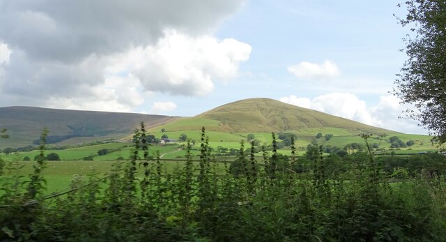
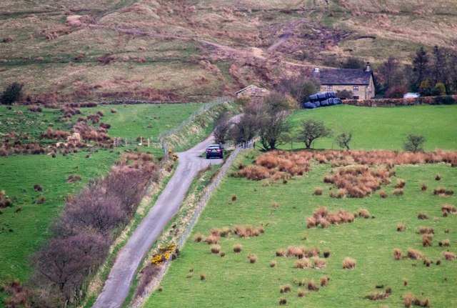
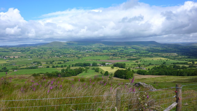
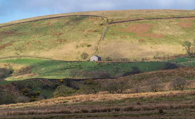
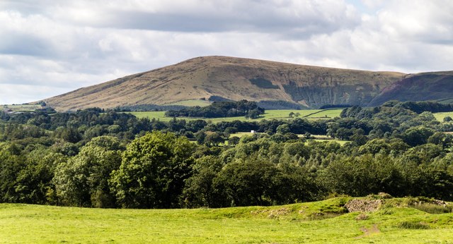
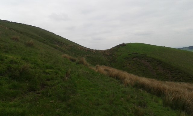
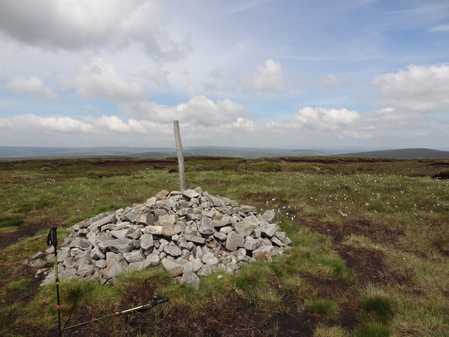
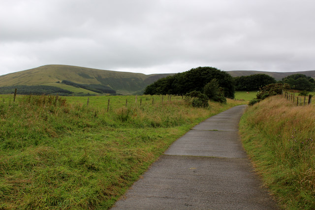
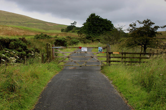
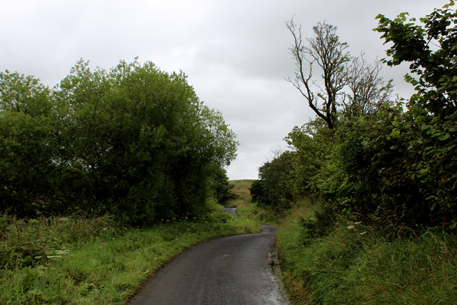
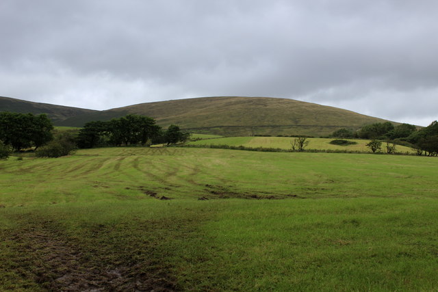
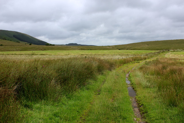
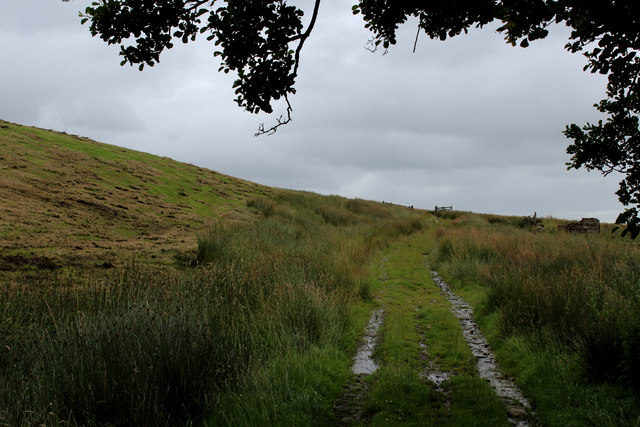
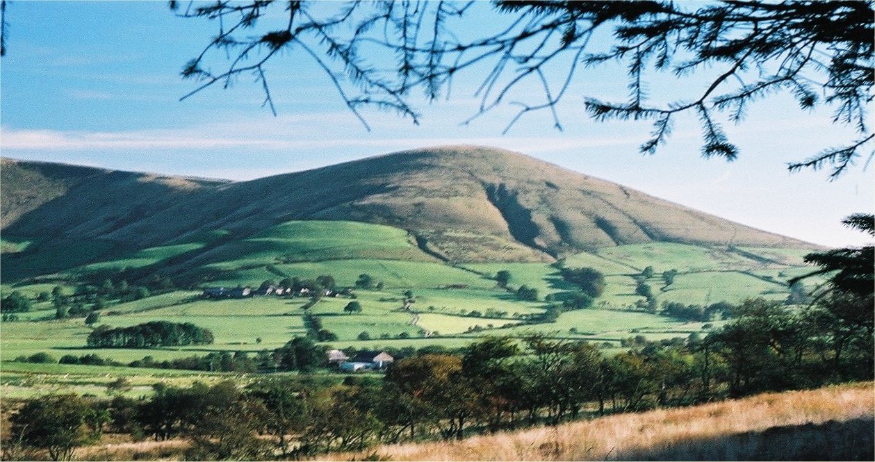
Greenlough Clough Images

Images are sourced within 2km of 53.906379/-2.5984435 or Grid Reference SD6045. Thanks to Geograph Open Source API. All images are credited.

Old Boundary Marker on the way to Saddle Fell, Chipping War Department Boundary Marker beside a path from Saddle End Farm to Saddle Fell. Chipping parish. Inscribed W ↑ D / No 34. See also <a title="https://www.geograph.org.uk/photo/2243015" href="https://www.geograph.org.uk/photo/2243015">Link</a>.

Milestone Society National ID: LA_WDCHIP34em
Old Boundary Marker on the way to Saddle Fell, Chipping
War Department Boundary Marker beside a path from Saddle End Farm to Saddle Fell. Chipping parish. Inscribed W ↑ D / No 34. See also Link. Milestone Society National ID: LA_WDCHIP34em
Fair Snape Fell trig
Blindhurst Fell View from Beacon Fell Country Park
Blindhurst Fell
View from Beacon Fell Country Park
Parlick Hill At the south of the main range of the Bowland Fells.
Parlick Hill
At the south of the main range of the Bowland Fells.
Fell Foot View of Fell Foot .
Fell Foot
View of Fell Foot .
From Longridge Fell to Chipping and Fells Beyond
Ward's End Barn at Ward's End.
Ward's End
Barn at Ward's End.
Parlick View of Parlick seen from Higher Lees.
Parlick
View of Parlick seen from Higher Lees.
Possible Glacial Overflow Channel on Parlick This dip in the side of Parlick has the makings of a gouge made by an ice flow or subglacial water flow; its smoothness detracts from its being man made.
Possible Glacial Overflow Channel on Parlick
This dip in the side of Parlick has the makings of a gouge made by an ice flow or subglacial water flow; its smoothness detracts from its being man made.
Cairn on the top With views across Bowland towards the Pennines
Cairn on the top
With views across Bowland towards the Pennines
Above Dobson's Brook Following a footpath northwards above Dobson's Brook
Above Dobson's Brook
Following a footpath northwards above Dobson's Brook
Access Lane to Saddle End Farm
End of The Road Access to Burnslack only, beyond the gate.
End of The Road
Access to Burnslack only, beyond the gate.
Road to Burnslack
Road to Burnslack
View towards Burnslack Fell
Grass Track on Ginney Hey Long track that crosses Stanley, before desceding towards Lickhurst Farm
Grass Track on Ginney Hey
Long track that crosses Stanley, before desceding towards Lickhurst Farm
Grass Track approaching the Ruins of High Barn
Rough Pasture The land off Fish House Lane near Chipping is suitable for sheep grazing, but not much else.
Rough Pasture
The land off Fish House Lane near Chipping is suitable for sheep grazing, but not much else.
Show me another place!

Greenlough Clough is located at Grid Ref: SD6045 (Lat: 53.906379, Lng: -2.5984435)

Administrative County: Lancashire

District: Ribble Valley

Police Authority: Lancashire

What 3 Words

///prank.spun.kept. Near Longridge, Lancashire

Nearby Locations

Greenlough Clough

Related Wikis

Parlick

Parlick (also known as Parlick Pike) is an approximately cone-shaped steep-sided hill at the extreme south of the main range of Bowland fells in Lancashire...

Kirk Mill

Kirk Mill is an early example of an Arkwright-type cotton mill and a grade II listed building in Chipping, Lancashire, in Ribble Valley, to the north of...

Bowland-with-Leagram

Bowland-with-Leagram is a civil parish in the Ribble Valley district of Lancashire, England, covering part of the Forest of Bowland. According to the census...

Bowland Forest Gliding Club

Bowland Forest Gliding Club is a British gliding club near the village of Chipping, Lancashire. It was formed as the Blackpool and Fylde Gliding Club in...

Nearby Amenities

Located within 500m of 53.906379,-2.5984435
Barrier: kissing_gate
Foot: yes
Lat/Long: 53.9052907/-2.5917068
Barrier: stile
Lat/Long: 53.9044496/-2.6041001
Barrier: stile
Lat/Long: 53.9076074/-2.6027282
Description: War Department marker post, indicating an old War Department boundary
Historic: boundary_stone
Inscription: WD No. 34
Lat/Long: 53.9041023/-2.5926491
The data included in this document is from www.openstreetmap.org. The data is made available under ODbL.

Have you been to Greenlough Clough?

Leave your review of Greenlough Clough below (or comments, questions and feedback).