Hightown Cleugh
Valley in Cumberland Carlisle
England
Hightown Cleugh

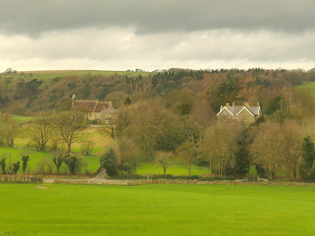
Hightown Cleugh is a picturesque valley located in the county of Cumberland, England. Nestled amidst the rolling hills of the region, this tranquil haven is a popular destination for nature enthusiasts and outdoor adventurers alike. The valley is situated in close proximity to the village of Hightown, hence its name.
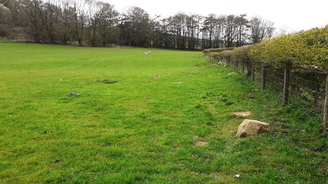
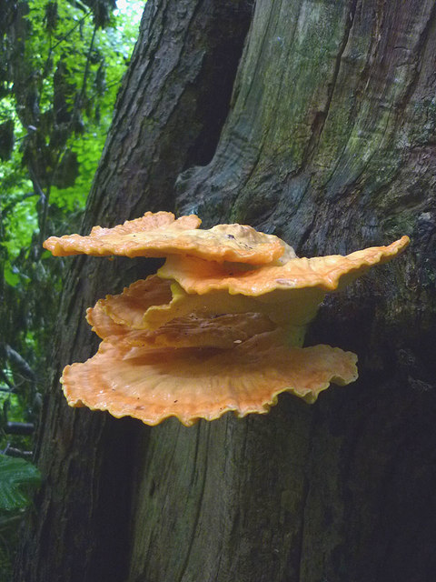
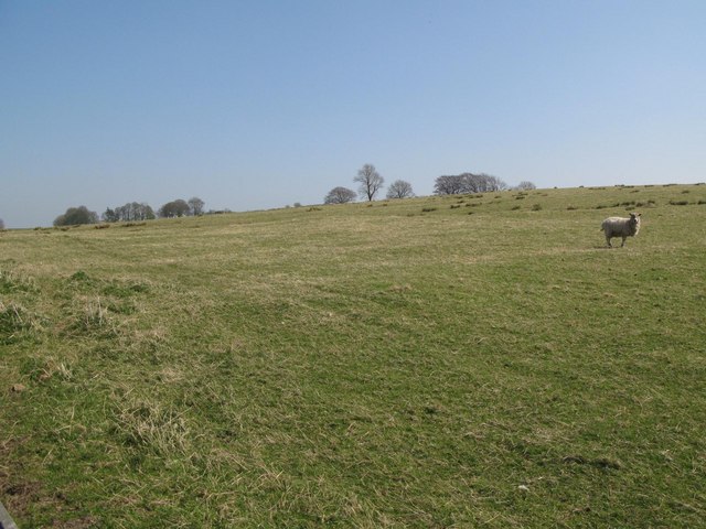
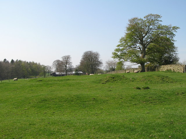
The landscape of Hightown Cleugh is characterized by its lush green meadows, glistening streams, and dense woodlands. The valley is home to a diverse range of flora and fauna, making it an ideal spot for wildlife observation and birdwatching. Visitors can expect to spot a variety of bird species, such as red kites, buzzards, and owls, as well as small mammals like foxes and badgers.
The cleugh is crisscrossed by a network of walking trails, providing ample opportunities for hikers and walkers to explore the area. One of the most popular routes is the Hightown Cleugh Circular Walk, which offers breathtaking views of the surrounding countryside and takes visitors past charming cottages and historic landmarks.
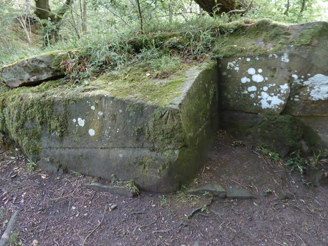
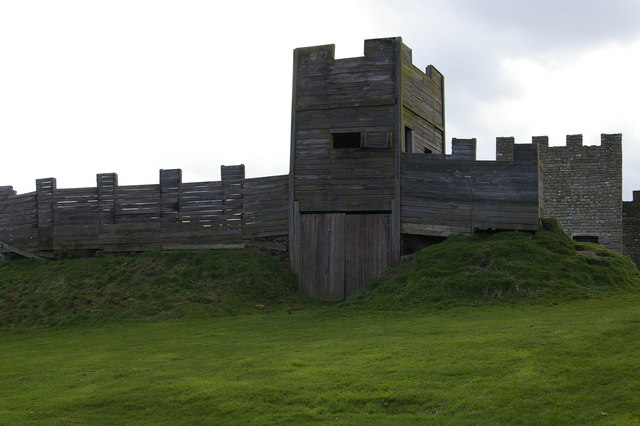
In addition to its natural beauty, Hightown Cleugh also boasts a rich history. The valley is dotted with remnants of ancient settlements, including burial mounds and stone circles, which offer glimpses into the area's past. Archaeological enthusiasts will find much to discover and explore in this historically significant location.
Whether you're seeking a peaceful retreat in nature, an adventure on the trails, or a chance to delve into the region's history, Hightown Cleugh is a must-visit destination in Cumberland.
If you have any feedback on the listing, please let us know in the comments section below.
Hightown Cleugh Images
Images are sourced within 2km of 54.972081/-2.6170024 or Grid Reference NY6064. Thanks to Geograph Open Source API. All images are credited.


Hightown Cleugh is located at Grid Ref: NY6064 (Lat: 54.972081, Lng: -2.6170024)
Administrative County: Cumbria
District: Carlisle
Police Authority: Cumbria
What 3 Words
///young.puff.workloads. Near Greenhead, Northumberland
Nearby Locations
Related Wikis

Nether Denton
Nether Denton is a scattered settlement and civil parish in rural Cumbria, England, situated about 12 miles (19 km) north-east of Carlisle, by the A69...

Upper Denton
Upper Denton is a small village and civil parish in the north of Cumbria, England, about 1 km north of the A69 road linking Haltwhistle and Brampton. The...
Milecastle 50TW
Milecastle 50TW (High House) was a milecastle on the Turf Wall section of Hadrian's Wall (grid reference NY60716583). The milecastle is located close...
Milecastle 50
Milecastle 50 (High House) was a milecastle on Hadrian's Wall (grid reference NY60676601). == Description == Milecastle 50 is west of Birdoswald fort....
Milecastle 51
Milecastle 51 (Wall Bowers) was a milecastle on Hadrian's Wall (grid reference NY59306549). == Description == Milecastle 51 is west of Birdoswald fort...

Banna (Birdoswald)
Birdoswald Roman Fort was known as Banna ("horn" in Celtic) in Roman times, reflecting the geography of the site on a triangular spur of land bounded by...

Birdoswald
Birdoswald is a former farm in the civil parish of Waterhead in the English county of Cumberland. It stands on the site of the Roman fort of Banna. �...

Waterhead, Carlisle
Waterhead is a civil parish in Carlisle district, Cumbria, England. At the 2011 census it had a population of 130.The east and south boundaries of the...
Have you been to Hightown Cleugh?
Leave your review of Hightown Cleugh below (or comments, questions and feedback).