Chesters Glen
Valley in Roxburghshire
Scotland
Chesters Glen

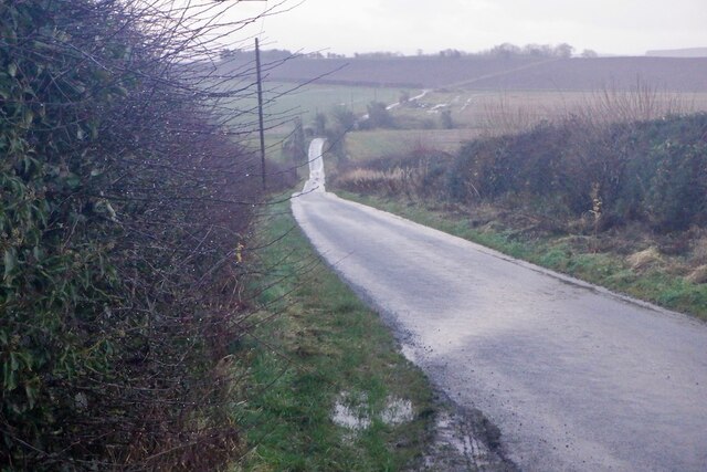
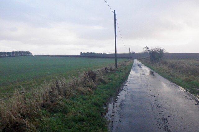
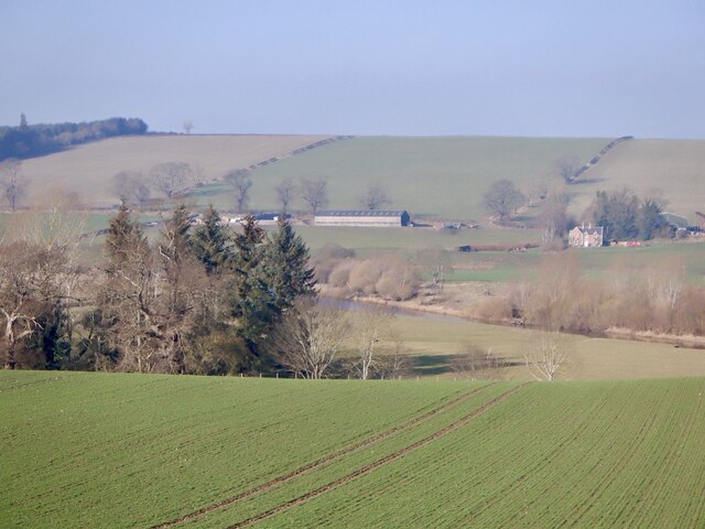
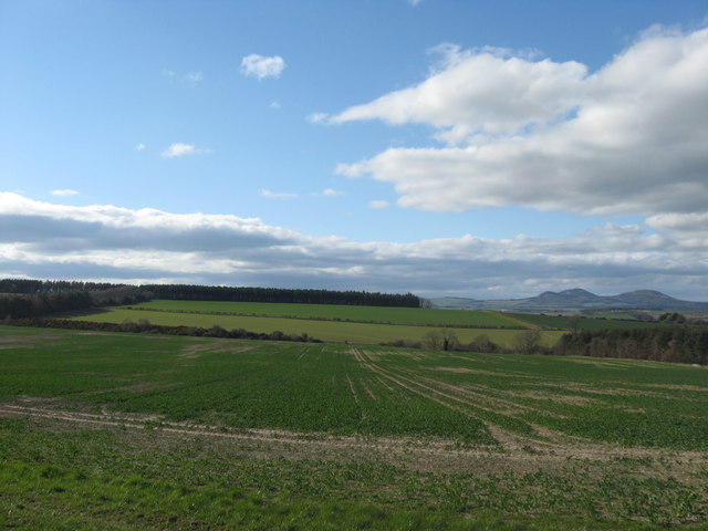
Chesters Glen is a picturesque valley located in Roxburghshire, Scotland. Situated amidst the rolling hills and lush greenery, it is a haven for nature lovers and outdoor enthusiasts. The glen is named after the nearby Chesters Hill, which stands tall and provides a stunning backdrop to the valley.
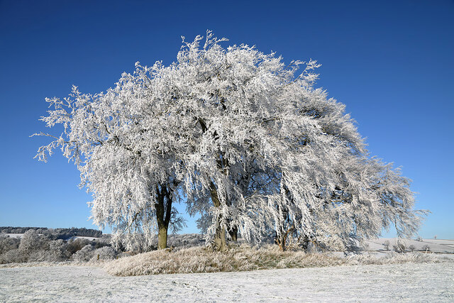
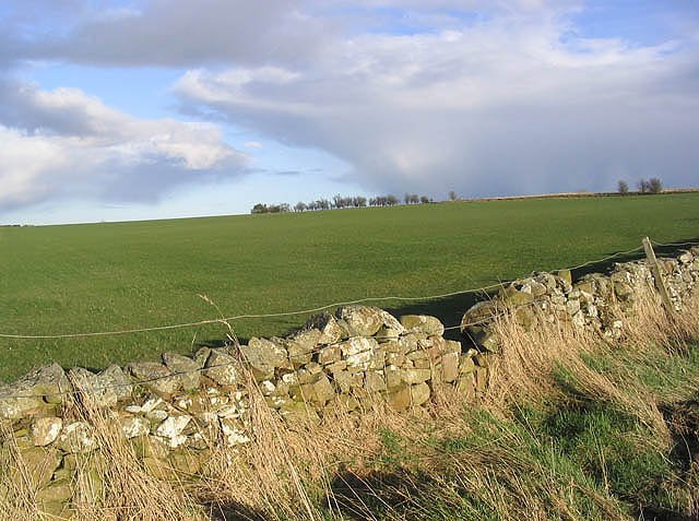
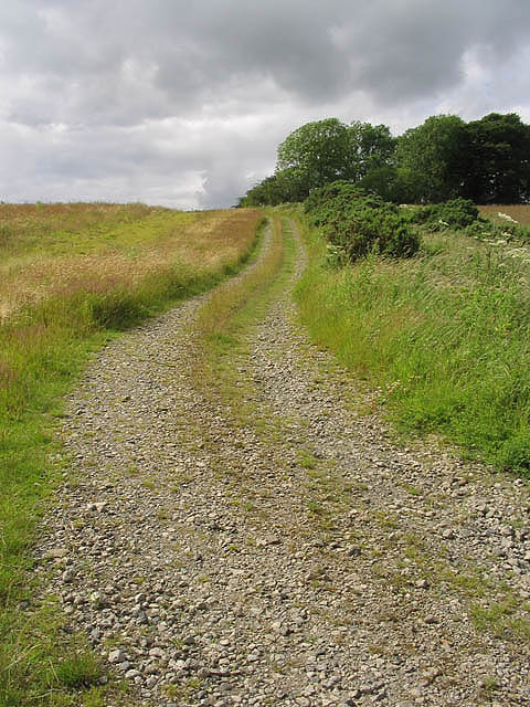
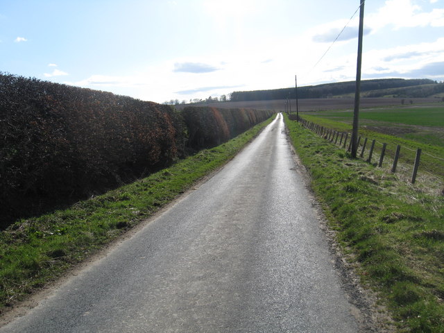
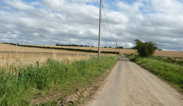
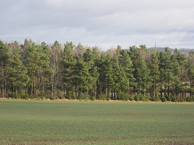
The glen is known for its breathtaking beauty, with a meandering river running through it and dense forests lining its banks. The river, called the Glen Burn, adds to the serenity of the place with its gentle flow and soothing sounds. The glen is a popular spot for hikers and walkers, who can explore the numerous trails that wind through its landscape. The trails offer stunning views of the valley and lead to hidden gems such as waterfalls and peaceful picnic spots.
Wildlife enthusiasts will find Chesters Glen to be a haven for various species of birds, including buzzards, owls, and woodpeckers. The glen is also home to red squirrels, badgers, and deer, making it a great place for wildlife spotting and photography.
Chesters Glen is not only a natural paradise but also boasts a rich historical and archaeological significance. There are remnants of an ancient Roman fort, which once guarded the nearby road. These ruins, along with the stunning natural beauty, make Chesters Glen a popular destination for history enthusiasts.
Overall, Chesters Glen in Roxburghshire offers a perfect blend of natural beauty, outdoor activities, and historical significance, making it a must-visit destination for all nature lovers and history buffs.
If you have any feedback on the listing, please let us know in the comments section below.
Chesters Glen Images
Images are sourced within 2km of 55.499292/-2.6253172 or Grid Reference NT6023. Thanks to Geograph Open Source API. All images are credited.


Chesters Glen is located at Grid Ref: NT6023 (Lat: 55.499292, Lng: -2.6253172)
Unitary Authority: The Scottish Borders
Police Authority: The Lothians and Scottish Borders
What 3 Words
///nips.chitchat.gains. Near Jedburgh, Scottish Borders
Nearby Locations
Related Wikis
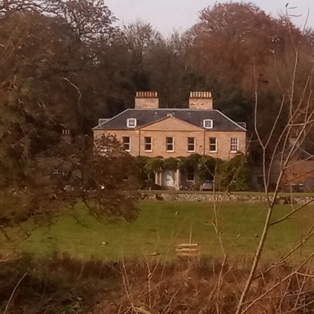
Chesters (estate)
Chesters is a 1,565-acre (633 ha) country estate near Ancrum, located on the banks of the River Teviot in the Scottish Borders area of Scotland. The estate...

Lanton Tower
Lanton Tower is a 16th-century tower house, about 2.0 miles (3.2 km) northwest of Jedburgh, Scottish Borders, Scotland, at Lanton. == History == In 1513...
Rule Water
The Rule Water is a river in the Scottish Borders area of Scotland, and a tributary of the River Teviot. The Rule Water rises in Wauchope Forest and passes...

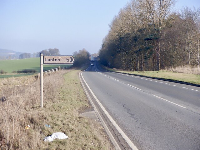
Lanton, Scottish Borders
Lanton is a village in the Scottish Borders area of Scotland, near Jedburgh and Timpendean Tower, off the A698. == See also == List of places in the Scottish...

Ale Water
The Ale Water is a tributary of the River Teviot, in the Scottish Borders area of Scotland. It rises at Henwoodie Hill and flows through Alemoor Loch....
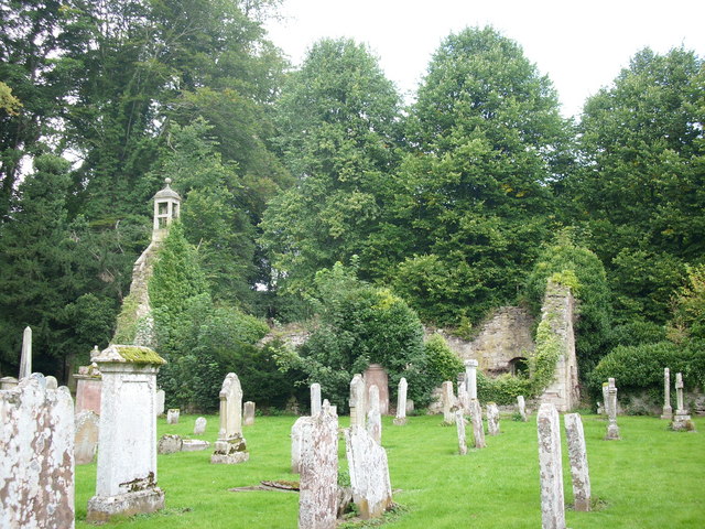
Ancrum Old Parish Church
Ancrum Old Parish Church is situated just over half a mile north west of the village of Ancrum in the Scottish Borders area of Scotland, on the B4600 road...

Barnhills Tower
Barnhills Tower was a 16th century tower house about 4.5 miles (7.2 km) west of Jedburgh in the Scottish Borders, Scotland, north of the River Teviot...

Ancrum
Ancrum (Scottish Gaelic: Alan Crom) is a village in the Borders area of Scotland, 5 km (3.1 mi) northwest of Jedburgh.The village — which currently has...
Nearby Amenities
Located within 500m of 55.499292,-2.6253172Have you been to Chesters Glen?
Leave your review of Chesters Glen below (or comments, questions and feedback).