Burges's Combe
Valley in Somerset Mendip
England
Burges's Combe
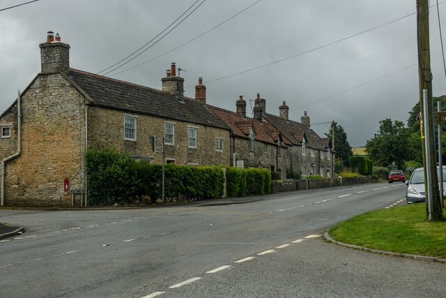
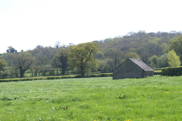
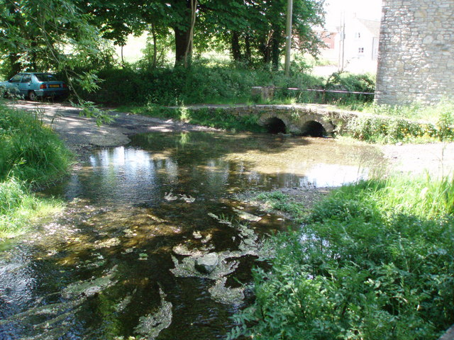
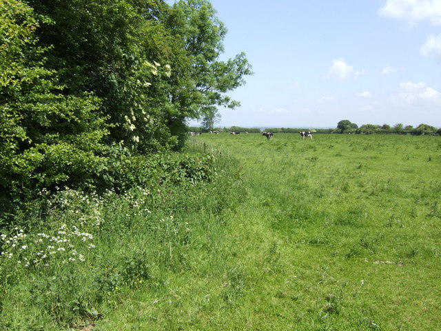
Burges's Combe is a picturesque valley located in Somerset, England. Nestled within the Mendip Hills, this tranquil and idyllic landscape offers stunning views and a peaceful retreat for nature lovers and hikers alike.
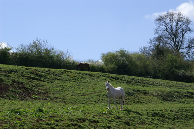
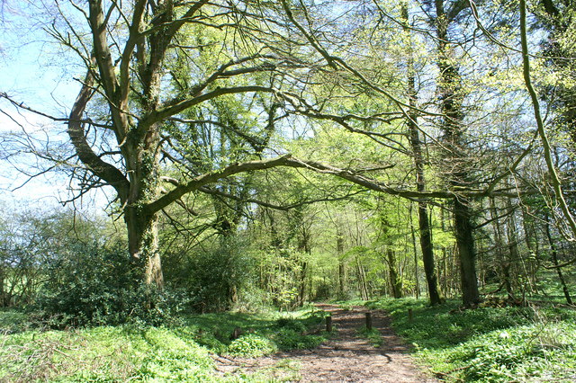
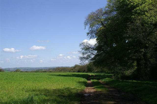
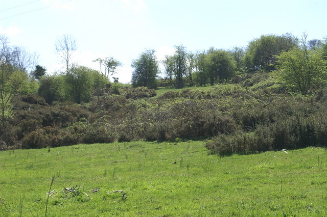
The valley is characterized by its rolling hills, lush green meadows, and meandering streams that flow through the area. The rich biodiversity of Burges's Combe is evident through the presence of various plant and animal species, making it a haven for wildlife enthusiasts. The woodland areas are home to a variety of bird species, including the charming song thrush and the elusive tawny owl.
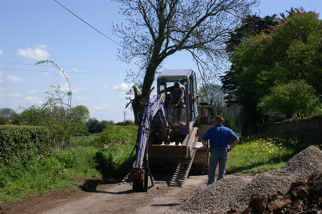
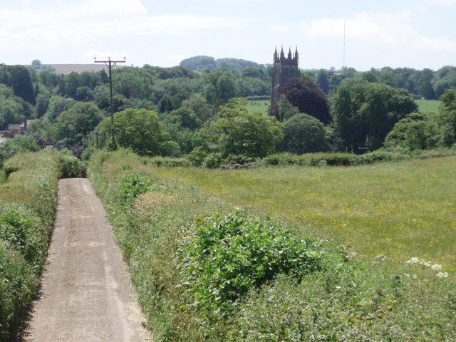
The valley is crisscrossed by a network of footpaths and trails that allow visitors to explore its natural beauty. Hikers can follow the paths that wind through the valley, offering breathtaking views of the surrounding countryside. The terrain varies, with some sections being gently sloping and others more challenging, catering to all levels of fitness and experience.
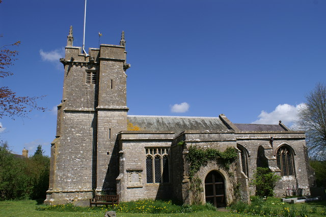
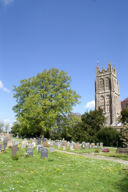
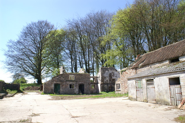
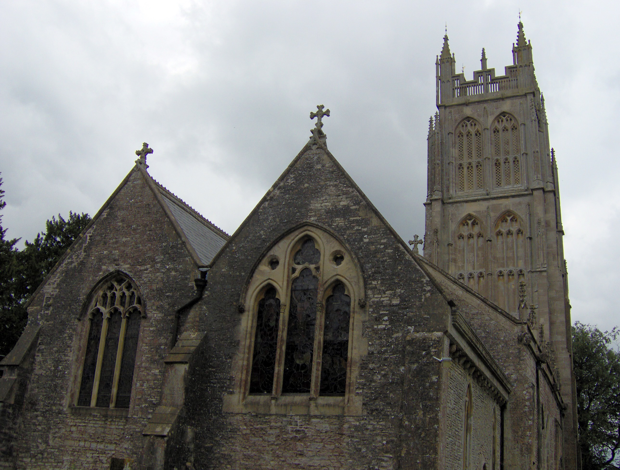
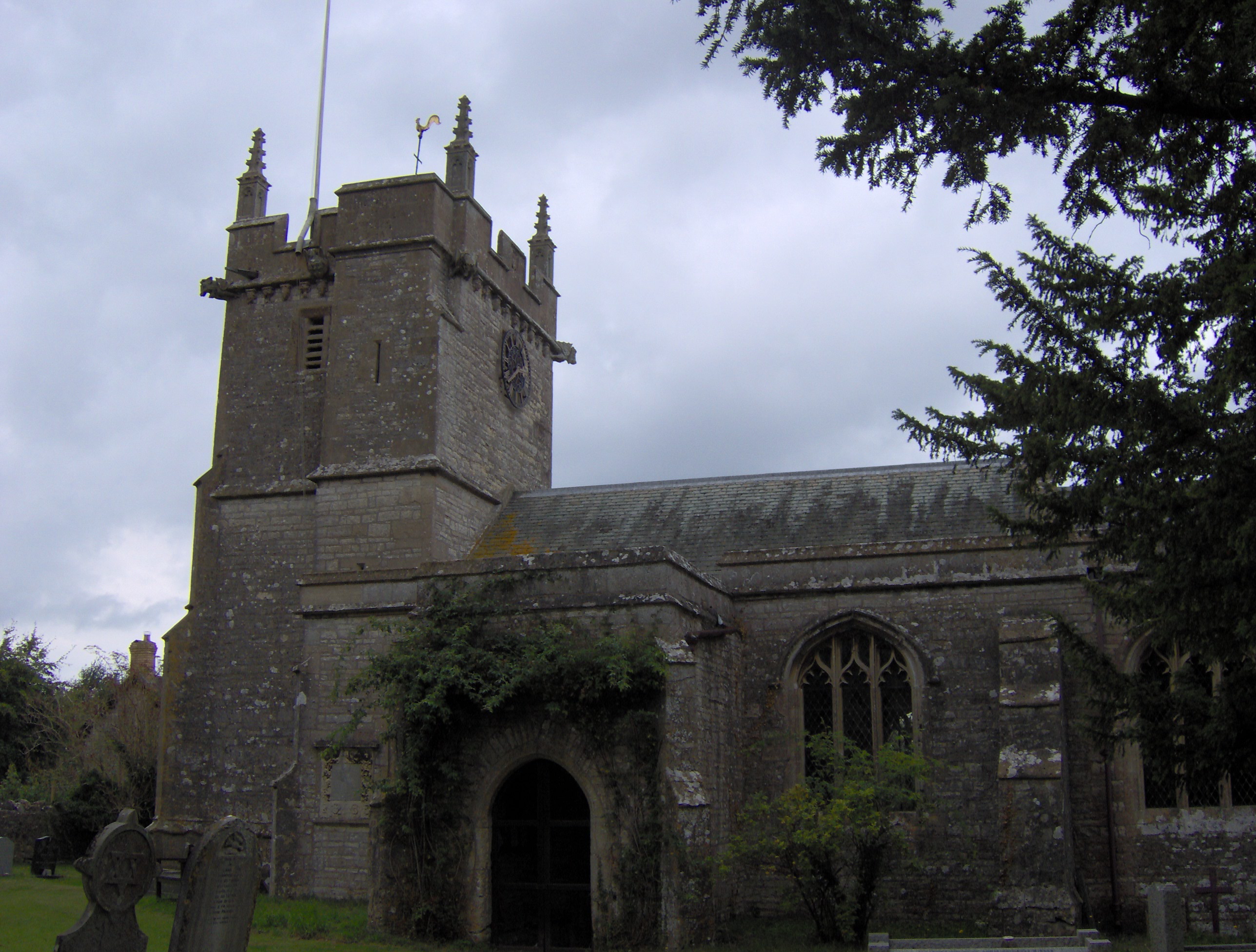
In addition to its natural beauty, Burges's Combe has historical significance. The valley was once the site of a medieval settlement, and remnants of its past can still be seen today. The ruins of an old mill and the remains of a medieval chapel provide a glimpse into the valley's historical heritage.
Overall, Burges's Combe is a hidden gem within the Somerset countryside. Its unspoiled beauty, diverse wildlife, and historical charm make it a must-visit destination for those seeking a peaceful and immersive nature experience.
If you have any feedback on the listing, please let us know in the comments section below.
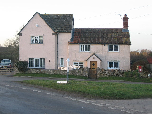
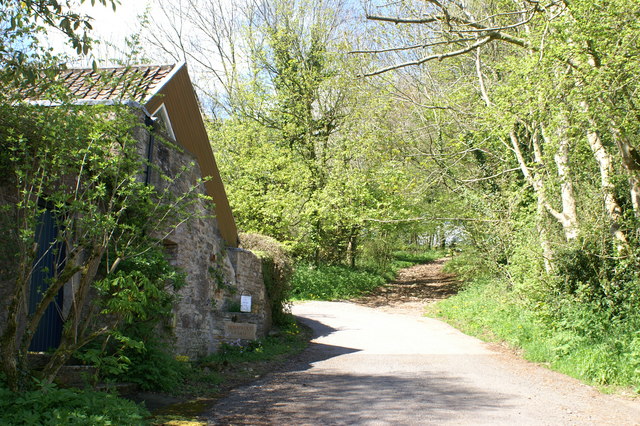
Burges's Combe Images
Images are sourced within 2km of 51.273469/-2.5958383 or Grid Reference ST5852. Thanks to Geograph Open Source API. All images are credited.
Burges's Combe is located at Grid Ref: ST5852 (Lat: 51.273469, Lng: -2.5958383)
Administrative County: Somerset
District: Mendip
Police Authority: Avon and Somerset
What 3 Words
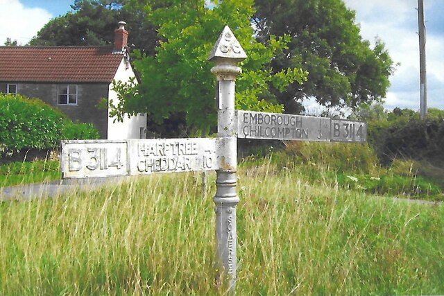
///grove.cluttered.apartment. Near East Harptree, Somerset
Nearby Locations
Related Wikis
Chewton Mendip
Chewton Mendip is a village and civil parish in Somerset, England. It is situated 4 miles (6 km) north of Wells, 16 miles (26 km) south of Bath and Bristol...
Litton, Somerset
Litton (grid reference ST593546) is a small village and civil parish between Chewton Mendip and West Harptree in the Mendip Hills, Somerset, England. The...
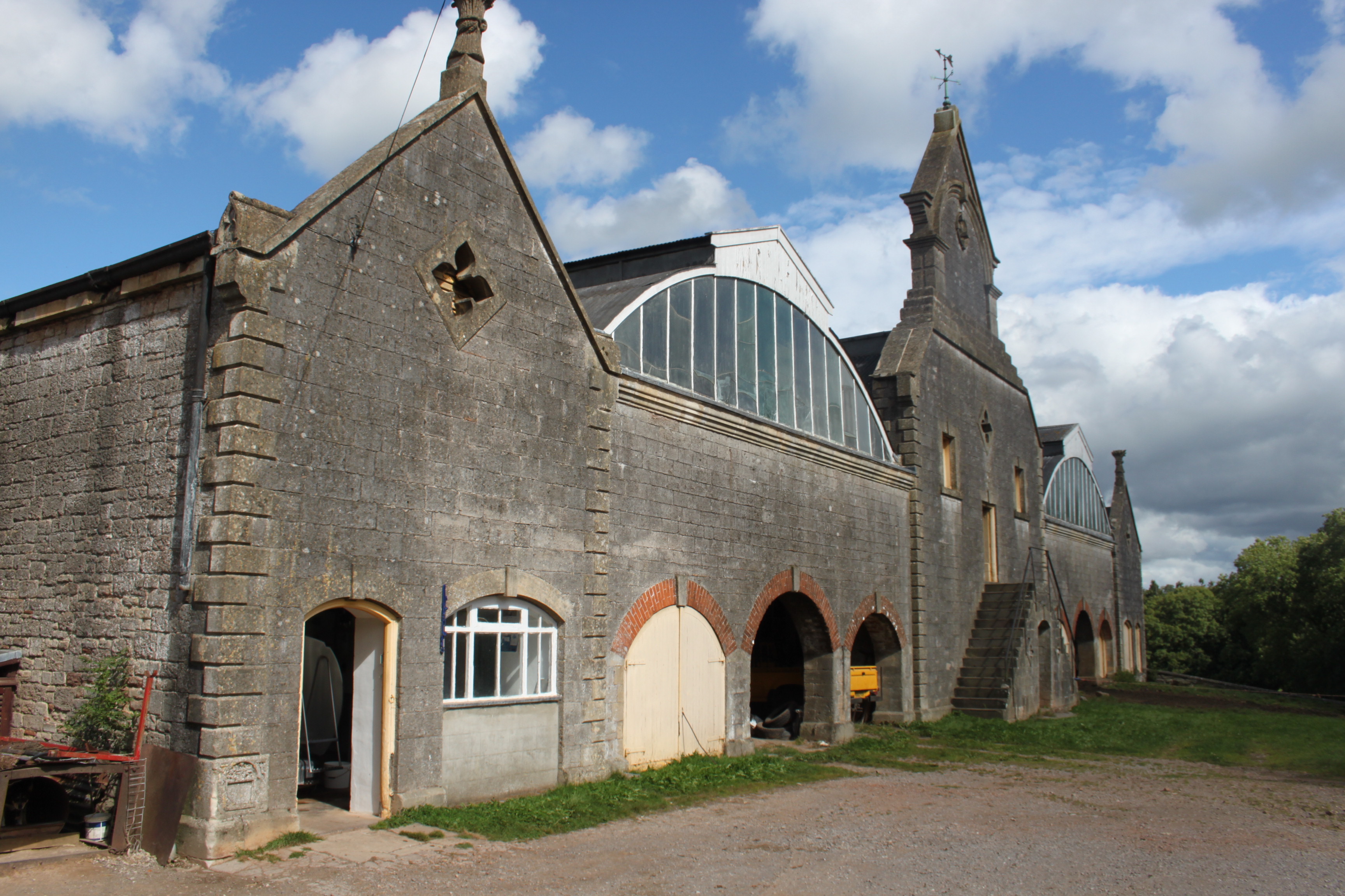
Eastwood Manor Farm Steading
Eastwood Manor Farm Steading in East Harptree, Somerset, England is a Grade I listed building.The farm including the site for the construction of Eastwood...
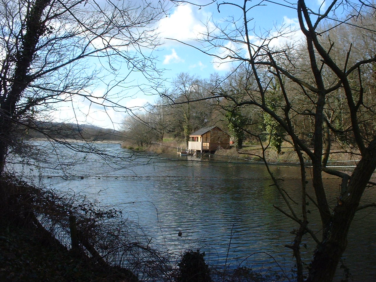
Litton Reservoirs
Litton Reservoirs (also known as Coley Reservoirs) (grid reference ST590553) are two reservoirs near the village of Litton, Somerset, England. They are...

Attborough Swallet
Attborough Swallet (also known as Red Quar Swallet) is a cave in Chewton Mendip in Somerset, England. It is unusual for a cave on the Mendip Hills in that...

Eastwood Manor
Eastwood Manor is a Grade II listed building in the village of East Harptree in the English County of Somerset. == History == A house was built at Eastwood...

Emborough
Emborough is a village and civil parish 5 miles (8.0 km) north of Shepton Mallet, and 5 miles (8.0 km) north east of Wells, in the Mendip district of Somerset...
Church of the Blessed Virgin Mary, Emborough
The Church of the Blessed Virgin Mary in Emborough, Somerset, England is medieval in origin but underwent extensive renovation in the 18th century. It...
Nearby Amenities
Located within 500m of 51.273469,-2.5958383Have you been to Burges's Combe?
Leave your review of Burges's Combe below (or comments, questions and feedback).