Hill Close Gully

Valley in Somerset Mendip

England

Hill Close Gully

Former crossing keeper's cottage on the Evercreech Junction to Glastonbury railway Now part of Cockmill Cottage.
Former crossing keeper's cottage on the Evercreech Junction to Glastonbury railway Credit: Roger Cornfoot

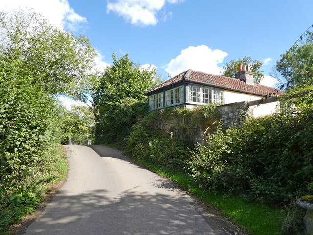
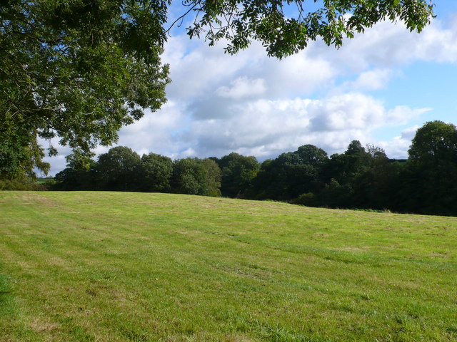
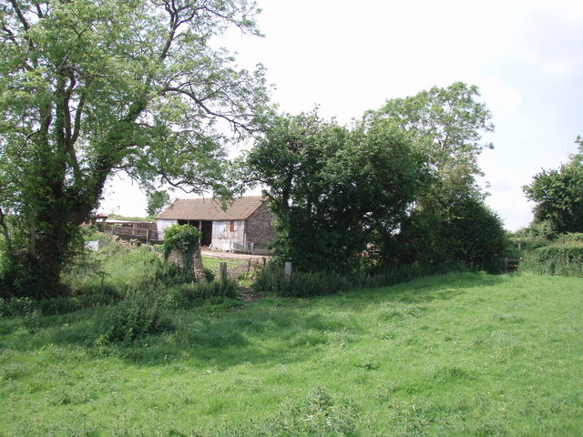
Hill Close Gully is a picturesque valley located in Somerset, England. Nestled amidst rolling hills and scenic countryside, it is a popular destination for nature enthusiasts and hikers alike.

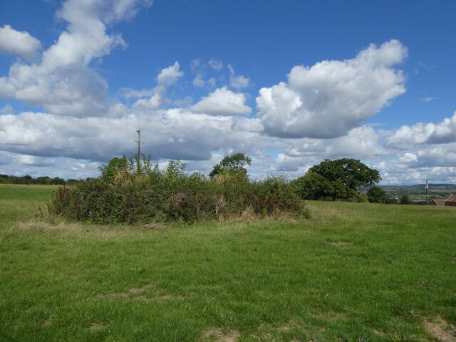
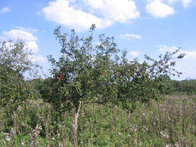
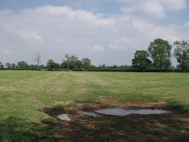
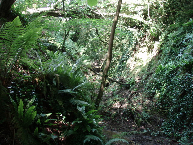
The valley is characterized by its lush greenery, with a variety of trees and plants dotting the landscape. The gully is formed by a small stream that meanders through the valley, creating a serene and peaceful atmosphere. The stream is known for its crystal-clear waters, which have been described as pristine and inviting.

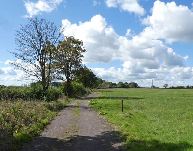
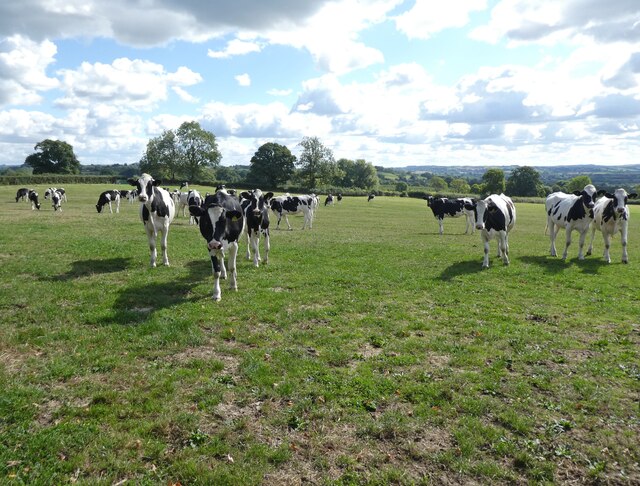
Hill Close Gully offers a range of activities for visitors to enjoy. Hiking trails wind their way through the valley, providing opportunities to explore the surrounding countryside and take in the breathtaking views. The gully is also a haven for wildlife, with many species of birds, butterflies, and small mammals calling it home.

For those seeking a more relaxed experience, Hill Close Gully is an ideal spot for a picnic or a leisurely stroll. The valley is dotted with scenic picnic areas, complete with benches and tables, making it the perfect place to unwind and enjoy the tranquility of nature.

In addition to its natural beauty, Hill Close Gully also boasts a rich history. The valley was once home to a thriving mining community, and remnants of this industrial past can still be seen today. Visitors can explore old mine shafts and learn about the area's mining heritage through informative displays and exhibits.

Overall, Hill Close Gully is a hidden gem in Somerset, offering a harmonious blend of natural beauty and historical significance. Whether you're a nature lover, history buff, or simply looking for a peaceful escape, this valley is sure to captivate and inspire.

If you have any feedback on the listing, please let us know in the comments section below.

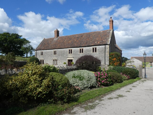
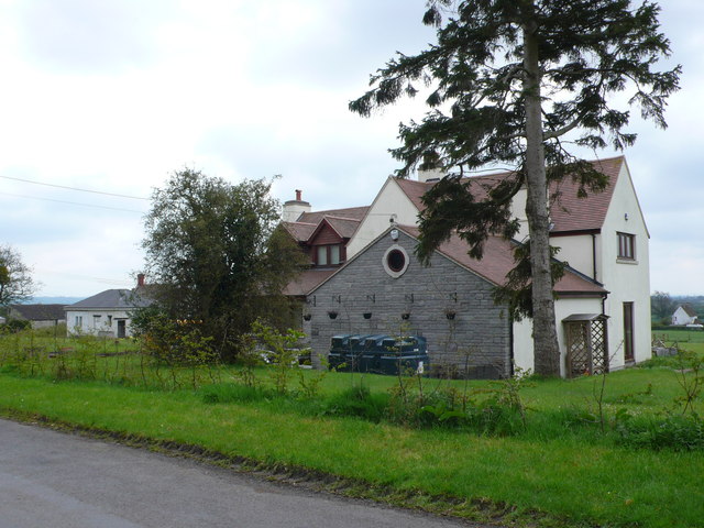
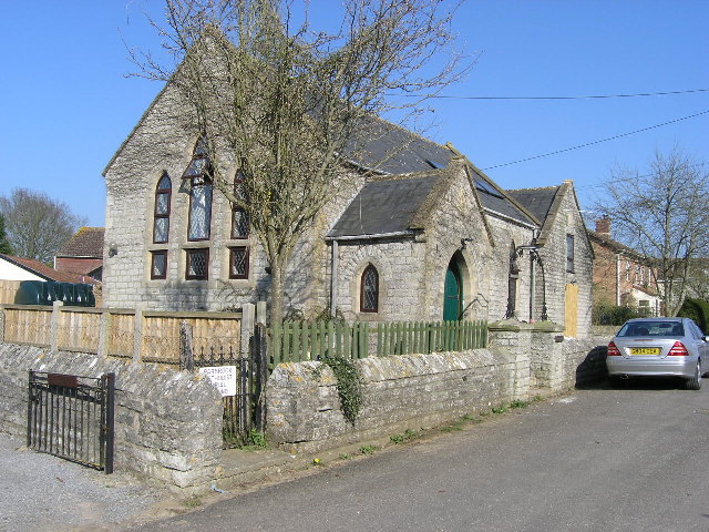
Hill Close Gully Images

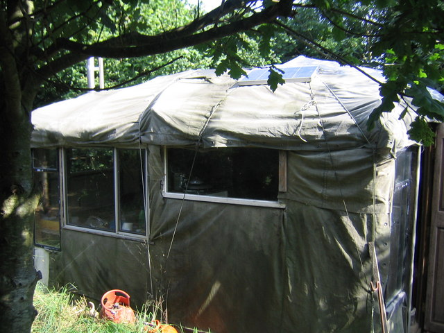
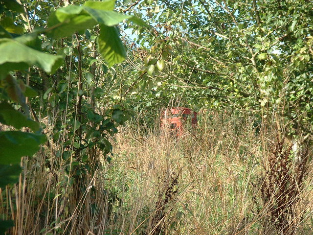
Images are sourced within 2km of 51.133774/-2.5947096 or Grid Reference ST5837. Thanks to Geograph Open Source API. All images are credited.

Former crossing keeper's cottage on the Evercreech Junction to Glastonbury railway Now part of Cockmill Cottage.
Former crossing keeper's cottage on the Evercreech Junction to Glastonbury railway
Now part of Cockmill Cottage.
Track, on Pennard Hill
Cattle at Pennard Hill Farm
Covered reservoir at Pennard Hill Farm Beneath the shrubbery!
Covered reservoir at Pennard Hill Farm
Beneath the shrubbery!
Pennard Hill Farm
Pennard Hill Farm
A37 almost at the top of Wraxall Hill
Lane near East Pennard The lane to Little Pennard passes under autumn trees such as this beech.
Lane near East Pennard
The lane to Little Pennard passes under autumn trees such as this beech.
Recently Mown Field A cut of hay or silage had recently been taken of this field just south of the road between Little Pennard and East Pennard between Anvil House and Batch Farm.
Recently Mown Field
A cut of hay or silage had recently been taken of this field just south of the road between Little Pennard and East Pennard between Anvil House and Batch Farm.
House near Wraxal Cross Roads. This house appeared to be a completely new house sitting just north of the road from Wraxall west to Hembridge.
House near Wraxal Cross Roads.
This house appeared to be a completely new house sitting just north of the road from Wraxall west to Hembridge.
EAST PENNARD, Somerset The Minster Church of All Saints
EAST PENNARD, Somerset
The Minster Church of All Saints
Parbrook, Somerset The former Methodist Church
Parbrook, Somerset
The former Methodist Church
My bender at Kings Hill, Summer 2004 View of a deluxe bender at Kings Hill Collective - a low impact self-build settlement on the edge of East Pennard.
My bender at Kings Hill, Summer 2004
View of a deluxe bender at Kings Hill Collective - a low impact self-build settlement on the edge of East Pennard.
Phone Box at Kings Hill Bit of an old picture - but it's still there, honest! Red phone box at Kings Hill low impact self-build settlement near East Pennard.
Phone Box at Kings Hill
Bit of an old picture - but it's still there, honest! Red phone box at Kings Hill low impact self-build settlement near East Pennard.
Apple tree at Kings Hill
Telephone box near Hembridge
Pennard Hill The footpath sticks to the ridge across Pennard Hill.
Pennard Hill
The footpath sticks to the ridge across Pennard Hill.
farm building seen from the footpath
Bradley Brook waterfall It appears that the brook recently heavily flooded bringing down trees and lots of derbis.
Bradley Brook waterfall
It appears that the brook recently heavily flooded bringing down trees and lots of derbis.
Show me another place!

Hill Close Gully is located at Grid Ref: ST5837 (Lat: 51.133774, Lng: -2.5947096)

Administrative County: Somerset

District: Mendip

Police Authority: Avon and Somerset

What 3 Words

///cones.comical.unite. Near Evercreech, Somerset

Nearby Locations

Hill Close Gully

Related Wikis

East Pennard

East Pennard is a village and civil parish 4 miles (6.4 km) north west of Castle Cary, and 5 miles (8.0 km) south of Shepton Mallet, in the Mendip district...

Glastonbury Festival

Glastonbury Festival (formally Glastonbury Festival of Contemporary Performing Arts and known colloquially as Glasto) is a five-day festival of contemporary...

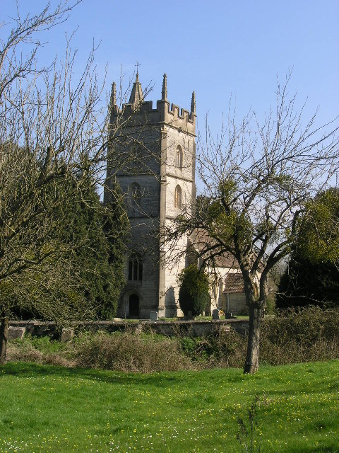
Church of St Thomas à Becket, Pylle

The Anglican Church of St Thomas à Becket in Pylle, Somerset, England, was built in the 15th century. It is a Grade II* listed building. == History... ==

Pylle

Pylle is a village and civil parish 4 miles (6.4 km) south west of Shepton Mallet, and 7 miles (11.3 km) from Wells, in the Mendip district of Somerset...

Nearby Amenities

Located within 500m of 51.133774,-2.5947096
Post Box
Operator: Royal Mail
Post Box Type: wall
Ref: BA4 129D
Royal Cypher: EIIR
Royal Cypher Wikidata: Q33102113
Lat/Long: 51.1319787/-2.597753
The data included in this document is from www.openstreetmap.org. The data is made available under ODbL.

Have you been to Hill Close Gully?

Leave your review of Hill Close Gully below (or comments, questions and feedback).