Barrow Haven
Settlement in Lincolnshire
England
Barrow Haven

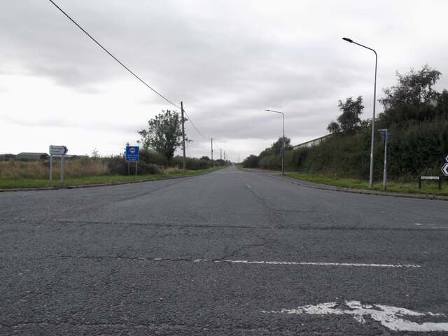
Barrow Haven is a small village located in the county of Lincolnshire, England. Situated on the south bank of the Humber Estuary, it is part of the North Lincolnshire district. The village is nestled in a rural landscape, surrounded by agricultural fields and green pastures.
With a population of around 200 residents, Barrow Haven is known for its peaceful and idyllic atmosphere. The village is characterized by its charming cottages and traditional architecture, which add to its quaint appeal. The local community is tight-knit and friendly, creating a warm and welcoming environment for both residents and visitors.
One of the main attractions in Barrow Haven is its proximity to the Humber Estuary, providing stunning views and opportunities for recreational activities such as fishing, bird watching, and boating. The estuary is also home to a diverse range of wildlife, making it a popular spot for nature enthusiasts.
Despite its small size, Barrow Haven has a strong sense of community spirit and offers a range of amenities for its residents. These include a village hall, a local pub, and a primary school. The nearby town of Barton-upon-Humber provides additional amenities and services, including shops, restaurants, and healthcare facilities.
Barrow Haven offers a tranquil and picturesque setting, making it an ideal place for those seeking a peaceful village lifestyle amidst the beauty of the Lincolnshire countryside.
If you have any feedback on the listing, please let us know in the comments section below.
Barrow Haven Images
Images are sourced within 2km of 53.694876/-0.391508 or Grid Reference TA0623. Thanks to Geograph Open Source API. All images are credited.


Barrow Haven is located at Grid Ref: TA0623 (Lat: 53.694876, Lng: -0.391508)
Division: Parts of Lindsey
Unitary Authority: North Lincolnshire
Police Authority: Humberside
What 3 Words
///jumpy.stocks.best. Near Barrow upon Humber, Lincolnshire
Nearby Locations
Related Wikis

Barrow Haven
Barrow Haven is a hamlet and small port in North Lincolnshire, England. It was the site of a former ferry crossing that spanned from the Humber Estuary...
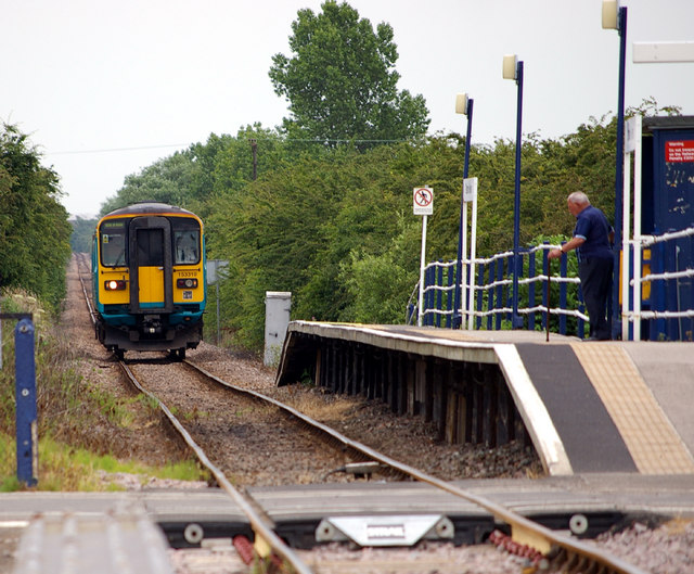
Barrow Haven railway station
Barrow Haven railway station serves the village of Barrow Haven in North Lincolnshire, England. The station has a single platform on the single-track line...
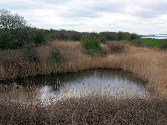
Barrow Haven Reedbed
Barrow Haven Reedbeds is a local nature reserve with an area of over 12.7 ha (31 acres) located in Barrow-upon-Humber, North Lincolnshire, England.It is...

Barrow Blow Wells
Barrow Blow Wells is a local nature reserve with an area of over 2.7 ha (6.7 acres) located in Barrow-upon-Humber, North Lincolnshire, England.The site...
Nearby Amenities
Located within 500m of 53.694876,-0.391508Have you been to Barrow Haven?
Leave your review of Barrow Haven below (or comments, questions and feedback).