Burnt Bottom
Valley in Dorset
England
Burnt Bottom

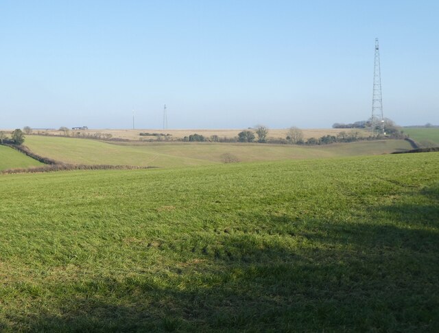
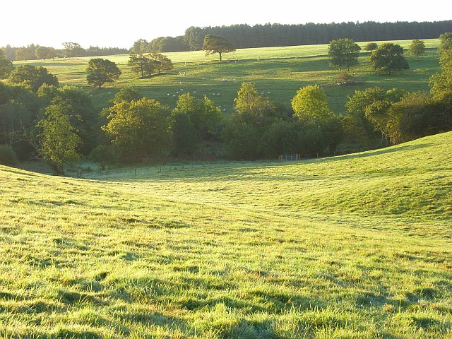
Burnt Bottom is a picturesque valley located in the county of Dorset, England. Situated in the heart of the countryside, this idyllic valley offers a tranquil and scenic retreat for visitors and locals alike.
The name "Burnt Bottom" is derived from the burnt appearance of the grassy slopes during the summer months, caused by the warm and dry weather conditions. This unique feature adds to the charm of the valley, creating a distinct and memorable landscape.
The valley is surrounded by rolling hills and lush green meadows, with a small river meandering through its center. The river provides a source of water for the local wildlife, including various species of birds and small mammals, making it a haven for nature enthusiasts and birdwatchers.
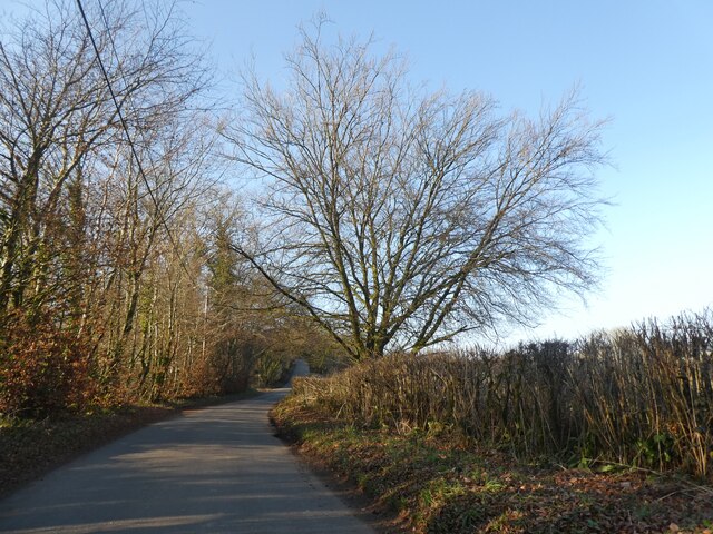
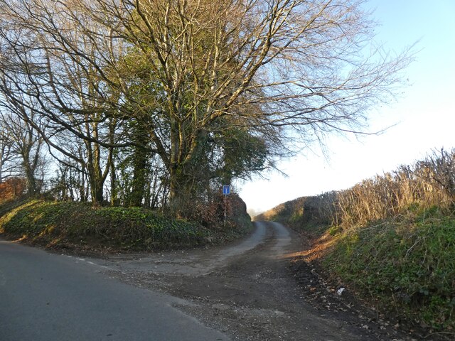
Walking trails and footpaths crisscross the valley, offering visitors the opportunity to explore and appreciate the natural beauty of the area. The trails lead through ancient woodlands, carpeted with wildflowers in the springtime, and provide breathtaking panoramic views of the surrounding countryside.
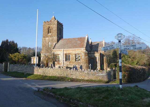
Burnt Bottom is also home to a few scattered cottages and farms, giving it a quaint and rural atmosphere. The local community is tight-knit and friendly, welcoming visitors with warm hospitality.
Overall, Burnt Bottom is a hidden gem in Dorset, offering a peaceful and serene escape from the hustle and bustle of city life. Its natural beauty, rich wildlife, and charming atmosphere make it a must-visit destination for those seeking a true countryside experience.
If you have any feedback on the listing, please let us know in the comments section below.
Burnt Bottom Images
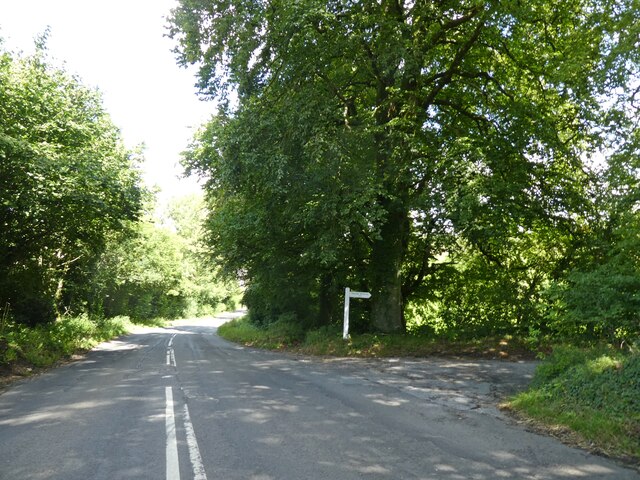
Images are sourced within 2km of 50.807424/-2.6723589 or Grid Reference ST5201. Thanks to Geograph Open Source API. All images are credited.


Burnt Bottom is located at Grid Ref: ST5201 (Lat: 50.807424, Lng: -2.6723589)
Unitary Authority: Dorset
Police Authority: Dorset
What 3 Words
///brass.icons.uppermost. Near Beaminster, Dorset
Nearby Locations
Related Wikis
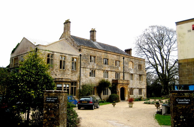
Hooke Court
Hooke Court is a 17th-century manor house in the parish of Hooke in Dorset, England. It is a Grade II* listed building built around the time of the English...

Toller Whelme
Toller Whelme is a small hamlet in Dorset, England, situated in the civil parish of Corscombe approximately 2.3 miles (3.7 km) east of Beaminster, 6 miles...

Hooke, Dorset
Hooke is a small village and civil parish in the county of Dorset in southern England, situated about 7 miles (11 km) northeast of the town of Bridport...

Warren Hill, Hooke, Dorset
Warren Hill is a prominent elevation, 215 metres (705 ft) high, 1 kilometre southwest of the hamlet of Hooke, in the county of Dorset in southern England...

Rampisham Down
Rampisham Down is a chalk hill in the Dorset Downs, eight miles north west of Dorchester in west Dorset, England. The highest part of the hill is 221...
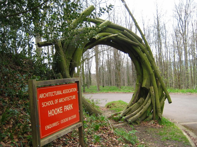
Hooke Park
Hooke Park is a 142 hectare woodland in Dorset, South West England located near the town of Beaminster and within the Dorset Area of Outstanding Natural...

Toller Down
Toller Down is one of the highest hills in the county of Dorset, England. It stands 252 metres (827 feet) high and is just 200 metres west of the main...
Aunt Mary's Bottom
Aunt Mary's Bottom (grid reference ST546023) is an 8.62 hectare biological Site of Special Scientific Interest in Dorset, England notified in 1991. �...
Have you been to Burnt Bottom?
Leave your review of Burnt Bottom below (or comments, questions and feedback).