Lawshall Green

Settlement in Suffolk Babergh

England

Lawshall Green

Church of All Saints, Lawshall A largely fifteenth century church <span class="nowrap"><a title="https://historicengland.org.uk/listing/the-list/list-entry/1036594" rel="nofollow ugc noopener" href="https://historicengland.org.uk/listing/the-list/list-entry/1036594">Link</a><img style="margin-left:2px;" alt="External link" title="External link - shift click to open in new window" src="https://s1.geograph.org.uk/img/external.png" width="10" height="10"/></span>
Church of All Saints, Lawshall Credit: Jonathan Thacker

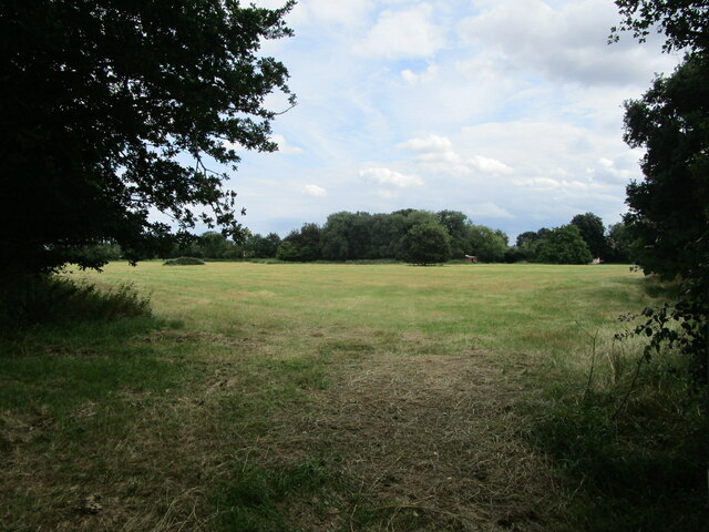
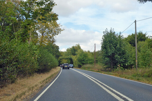
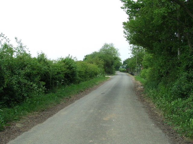
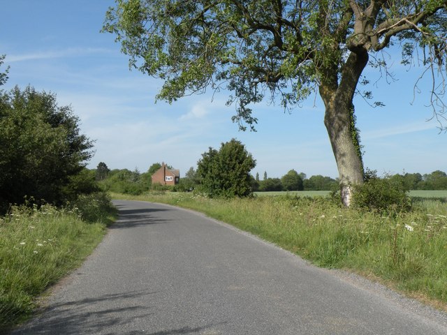
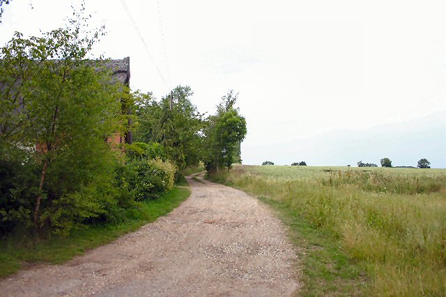
Lawshall Green is a small picturesque village located in the county of Suffolk, England. Situated in the Babergh district, it is nestled in the heart of the East Anglian countryside, surrounded by rolling green fields and charming rural landscapes.

The village is known for its idyllic setting and traditional English charm, with many of its buildings dating back centuries. The centerpiece of Lawshall Green is its village green, a well-maintained open space that serves as a focal point for community gatherings and events. The green is surrounded by quaint thatched cottages and historic houses, adding to the village's charm and character.

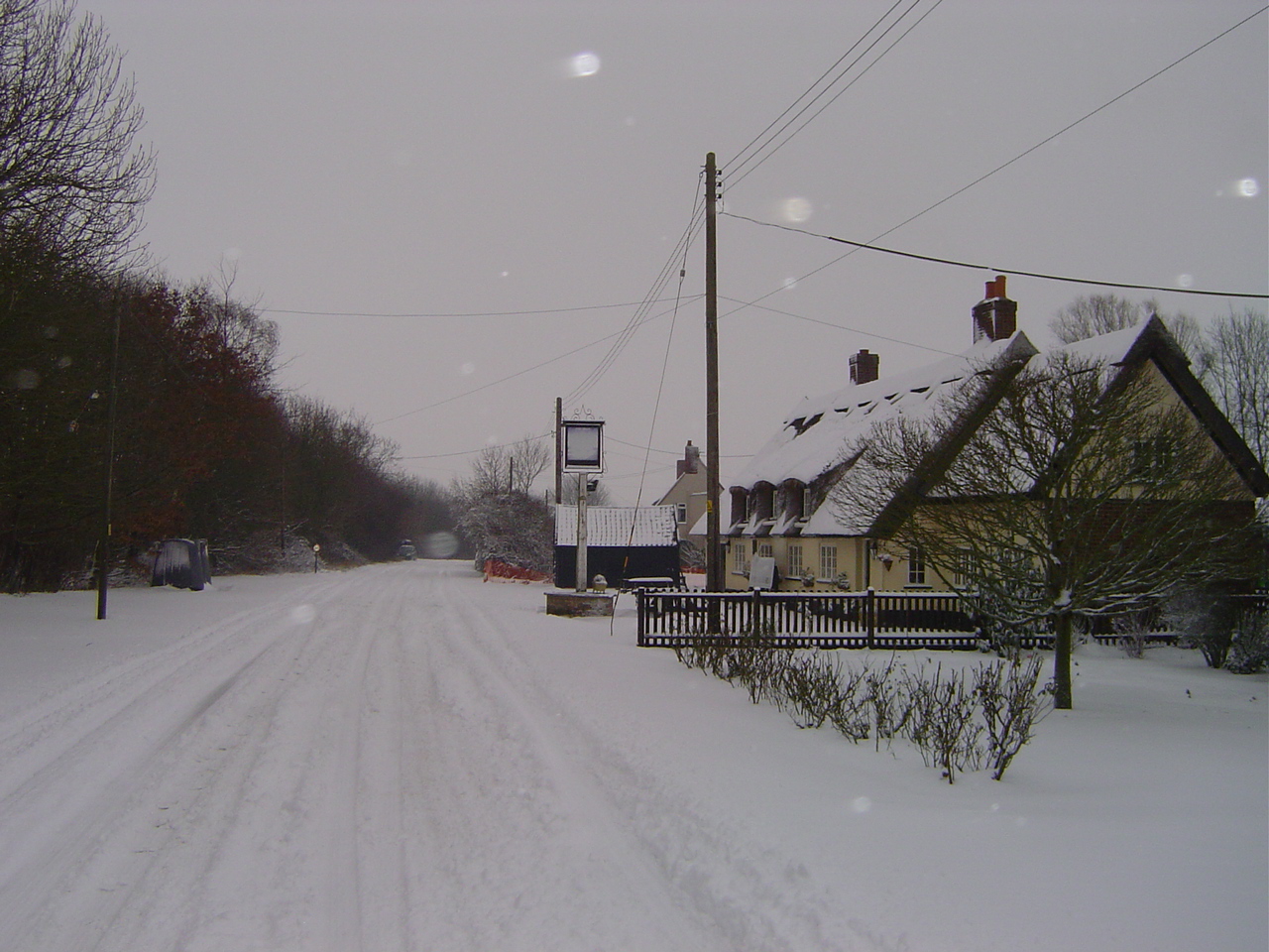
Lawshall Green boasts a strong sense of community, with regular events and activities organized by its residents. The village is also home to a local pub, providing a friendly meeting place for locals and visitors alike. The surrounding countryside offers ample opportunities for outdoor activities, including walking, cycling, and exploring the nearby nature reserves.

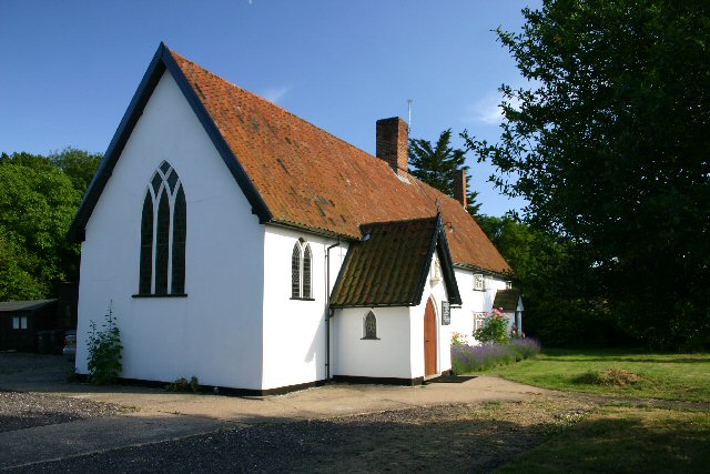
Despite its small size, Lawshall Green has a rich history. The village is home to a 12th-century church, St. Peter's Church, which stands as a testament to the area's long-standing religious heritage. The church is known for its beautiful stained glass windows and ornate architecture, attracting visitors from near and far.

Lawshall Green offers a tranquil and peaceful escape from the hustle and bustle of modern life, providing a glimpse into the rural beauty of Suffolk.

If you have any feedback on the listing, please let us know in the comments section below.

Lawshall Green Images

Images are sourced within 2km of 52.149085/0.74645 or Grid Reference TL8853. Thanks to Geograph Open Source API. All images are credited.

Church of All Saints, Lawshall A largely fifteenth century church <span class="nowrap"><a title="https://historicengland.org.uk/listing/the-list/list-entry/1036594" rel="nofollow ugc noopener" href="https://historicengland.org.uk/listing/the-list/list-entry/1036594">Link</a><img style="margin-left:2px;" alt="External link" title="External link - shift click to open in new window" src="https://s1.geograph.org.uk/img/external.png" width="10" height="10"/></span>
Church of All Saints, Lawshall
A largely fifteenth century church LinkExternal link
Grass field near Lawshall
A134 looking north A route from Colchester to King's Lynn, next major place, Bury St Edmunds.
A134 looking north
A route from Colchester to King's Lynn, next major place, Bury St Edmunds.
A134 looking north A route from Colchester to King's Lynn, next major place, Bury St Edmunds.
A134 looking north
A route from Colchester to King's Lynn, next major place, Bury St Edmunds.
A134 looking north A route from Colchester to King's Lynn, next major place, Bury St Edmunds.
A134 looking north
A route from Colchester to King's Lynn, next major place, Bury St Edmunds.
A134 looking north A route from Colchester to King's Lynn, next major place, Bury St Edmunds.
A134 looking north
A route from Colchester to King's Lynn, next major place, Bury St Edmunds.
Footpath And Old Airfield Part of the perimeter track of the former U.S.A.A.F. Lavenham, Suffolk for more info see <span class="nowrap"><a title="http://en.wikipedia.org/wiki/RAF_Lavenham" rel="nofollow ugc noopener" href="http://en.wikipedia.org/wiki/RAF_Lavenham">Link</a><img style="margin-left:2px;" alt="External link" title="External link - shift click to open in new window" src="https://s1.geograph.org.uk/img/external.png" width="10" height="10"/></span>
Footpath And Old Airfield
Part of the perimeter track of the former U.S.A.A.F. Lavenham, Suffolk for more info see LinkExternal link
Distant View Of Oak Farm A distant view of Oak Farm near to Cockfield, Suffolk.
Distant View Of Oak Farm
A distant view of Oak Farm near to Cockfield, Suffolk.
Old Bury Road Looking South along the Old Bury Road that was part of the A.134 until bypassed due to the construction of an airfield during WWII near to Alpheton, Suffolk.
Old Bury Road
Looking South along the Old Bury Road that was part of the A.134 until bypassed due to the construction of an airfield during WWII near to Alpheton, Suffolk.
Post Box Public Post Box outside Roundwood Windsor Green, Suffolk.
Post Box
Public Post Box outside Roundwood Windsor Green, Suffolk.
Shimpling Road, heading towards Lawshall
Footpath to Shimpling Street from Shimpling Road
Part of Shimpling Road in Lawshall
The approach to Hanningfields Farm
The village sign at Lawshall
Donkey Lane, between Lawshall and Stanningfield
At Work Farmer and his tractor at work near to Stanningfield, Suffolk.
At Work
Farmer and his tractor at work near to Stanningfield, Suffolk.
Farming Farming activity near to Stanningfield, Suffolk.
Farming
Farming activity near to Stanningfield, Suffolk.
Show me another place!

Lawshall Green is located at Grid Ref: TL8853 (Lat: 52.149085, Lng: 0.74645)

Administrative County: Suffolk

District: Babergh

Police Authority: Suffolk

What 3 Words

///steams.preheated.digs. Near Lavenham, Suffolk

Related Wikis

Lawshall Green

Lawshall Green is a hamlet in the civil parish of Lawshall in the Babergh district in the county of Suffolk, England. It is located east of Hibb's Green...

Hanningfield Green

Hanningfield Green, sometimes referred to as Hanningfields Green, is a hamlet in the civil parish of Lawshall in the Babergh district in the county of...

Bury Road, Lawshall

Bury Road, Lawshall is a linear settlement in the civil parish of Lawshall in the Babergh district in the county of Suffolk, England. The northern part...

The Street, Lawshall

The Street is a linear settlement in the civil parish of Lawshall in the Babergh district in the county of Suffolk, England. It extends from Lawshall Hall...

Nearby Amenities

Located within 500m of 52.149085,0.74645
Bus Stop
The Green
Naptan AtcoCode: 390010435
Naptan Bearing: N
Naptan BusStopType: CUS
Naptan CommonName: The Green
Naptan Indicator: adj
Naptan Landmark: The Green
Naptan NaptanCode: sufagdwa
Naptan Street: Unclassified
Naptan Verified: no
Source: naptan_import
Lat/Long: 52.1499118/0.7461059
Bus Stop
The Green
Naptan AtcoCode: 390010436
Naptan Bearing: SE
Naptan BusStopType: CUS
Naptan CommonName: The Green
Naptan Indicator: opp
Naptan Landmark: The Green
Naptan NaptanCode: sufagdwd
Naptan Street: Unclassified
Naptan Verified: no
Source: naptan_import
Lat/Long: 52.1499816/0.7462301
Give Way
Lat/Long: 52.1497547/0.7462322
Post Box
Collection Times: Mo-Fr 16:00; Sa 12:00
Post Box Design: 2010_pattern
Post Box Mounting: pier
Post Box Type: lamp
Ref: IP29 2023
Royal Cypher: EIIR
Royal Cypher Wikidata: Q33102113
Lat/Long: 52.1499426/0.7460593
Give Way
Lat/Long: 52.1498371/0.7464212
Give Way
Lat/Long: 52.1499556/0.7461302
The data included in this document is from www.openstreetmap.org. The data is made available under ODbL.

Have you been to Lawshall Green?

Leave your review of Lawshall Green below (or comments, questions and feedback).