Bendle Combe
Valley in Somerset
England
Bendle Combe

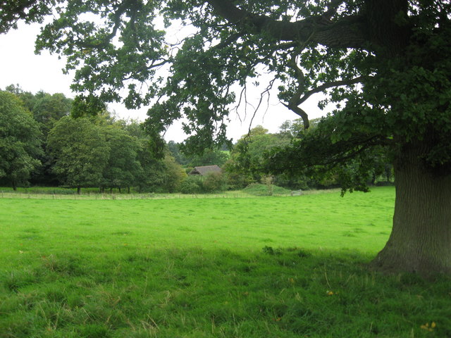
Bendle Combe is a charming valley located in the county of Somerset, England. Nestled amidst the picturesque landscape of the Mendip Hills, this tranquil rural setting offers a peaceful retreat for nature enthusiasts and those seeking a break from the hustle and bustle of city life.
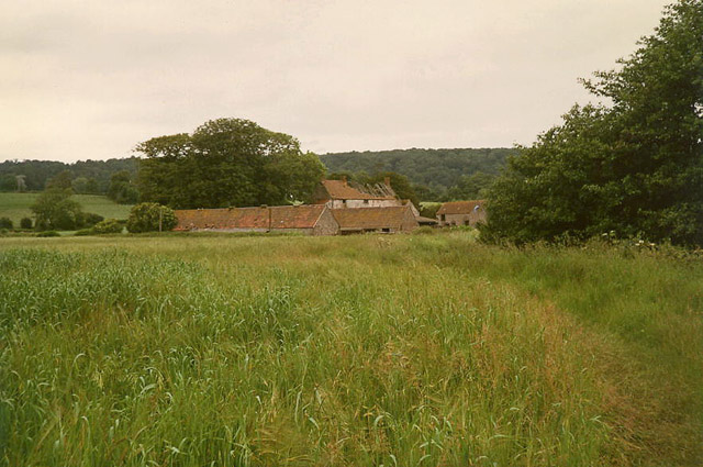
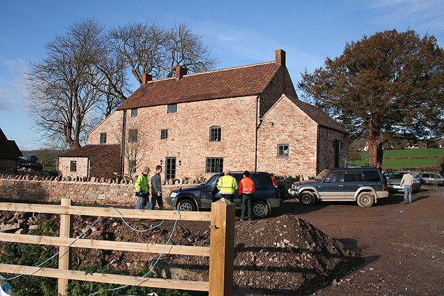
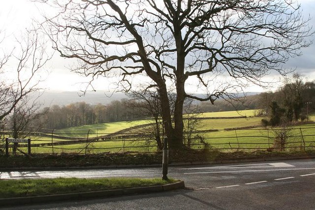
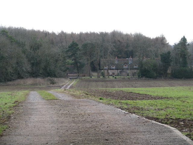
The valley is characterized by its rolling hills, lush meadows, and meandering streams that add to its idyllic charm. The surrounding area is predominantly agricultural, with several working farms dotting the landscape and providing a glimpse into traditional rural life.
Bendle Combe is renowned for its rich biodiversity, with an abundance of flora and fauna to be discovered. The valley is home to a diverse range of wildlife, including various bird species, small mammals, and butterflies. Nature lovers can explore the numerous footpaths and bridleways that crisscross the area, offering opportunities for leisurely walks and cycling.
One of the highlights of Bendle Combe is its proximity to the Cheddar Gorge, a majestic limestone gorge that attracts visitors from far and wide. The gorge offers spectacular views, towering cliffs, and underground caves waiting to be explored. Additionally, the nearby city of Wells, with its stunning medieval cathedral and historic architecture, is a short drive away.
In terms of amenities, Bendle Combe is a quiet and rural area, with limited facilities. However, the nearby village of Cheddar offers a range of amenities, including shops, cafes, and pubs, ensuring that visitors have access to basic necessities and a taste of local hospitality.
Overall, Bendle Combe in Somerset is a hidden gem, providing a serene and picturesque setting for visitors to immerse themselves in nature and experience the charm of rural England.
If you have any feedback on the listing, please let us know in the comments section below.
Bendle Combe Images
Images are sourced within 2km of 51.443353/-2.7115442 or Grid Reference ST5071. Thanks to Geograph Open Source API. All images are credited.


Bendle Combe is located at Grid Ref: ST5071 (Lat: 51.443353, Lng: -2.7115442)
Unitary Authority: North Somerset
Police Authority: Avon and Somerset
What 3 Words
///votes.debate.blues. Near Easton-in-Gordano, Somerset
Nearby Locations
Related Wikis

Tyntesfield
Tyntesfield is a Victorian Gothic Revival country house and estate near Wraxall, North Somerset, England. The house is a Grade I listed building named...
Wraxall and Failand
Wraxall and Failand, formerly just Wraxall is a civil parish in the North Somerset district, in the ceremonial county of Somerset, England. It includes...
Wraxall, Somerset
Wraxall is a village in North Somerset, England, about 6 miles (10 km) west of Bristol. Until 1811 the parish of the same name also included Nailsea and...

Wraxall Camp
Wraxall Camp, or Failand Camp, is a small round earthwork in Somerset. The remains are indistinct and thickly covered by woods, but it appears to have...
Failand
Failand is a village in Somerset, England. It lies within the civil parish of Wraxall and Failand and the unitary authority area of North Somerset. The...
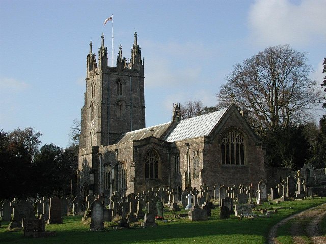
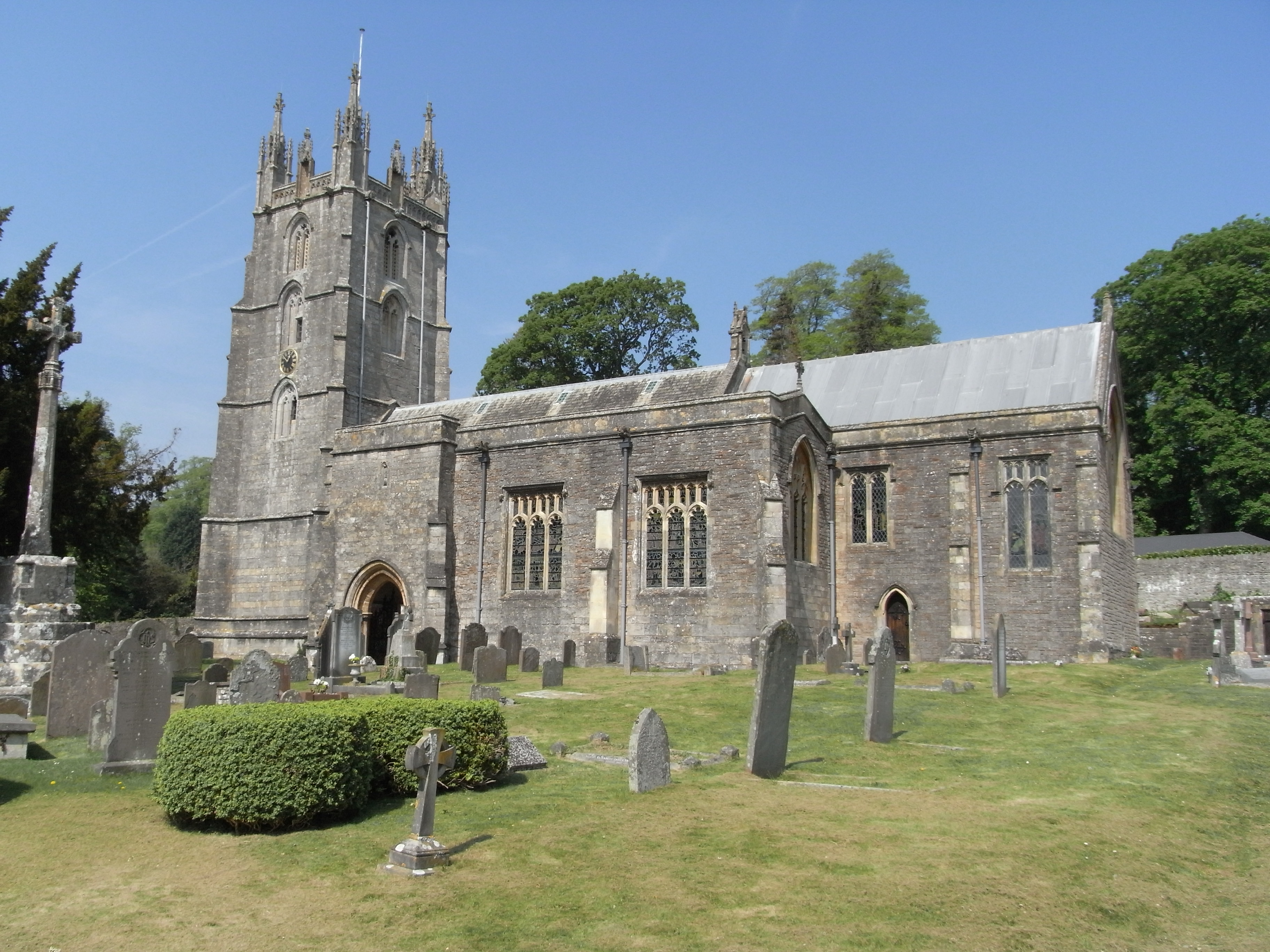
All Saints Church, Wraxall
All Saints' Church is the parish church in Wraxall, Somerset, England. It has been dedicated "to all the Saints". The building is surrounded by an extensive...

Wraxall Court
Wraxall Court (originally called Wraxall Lodge) is a historic building in Wraxall in the English county of Somerset. It is a Grade II listed building.Parts...
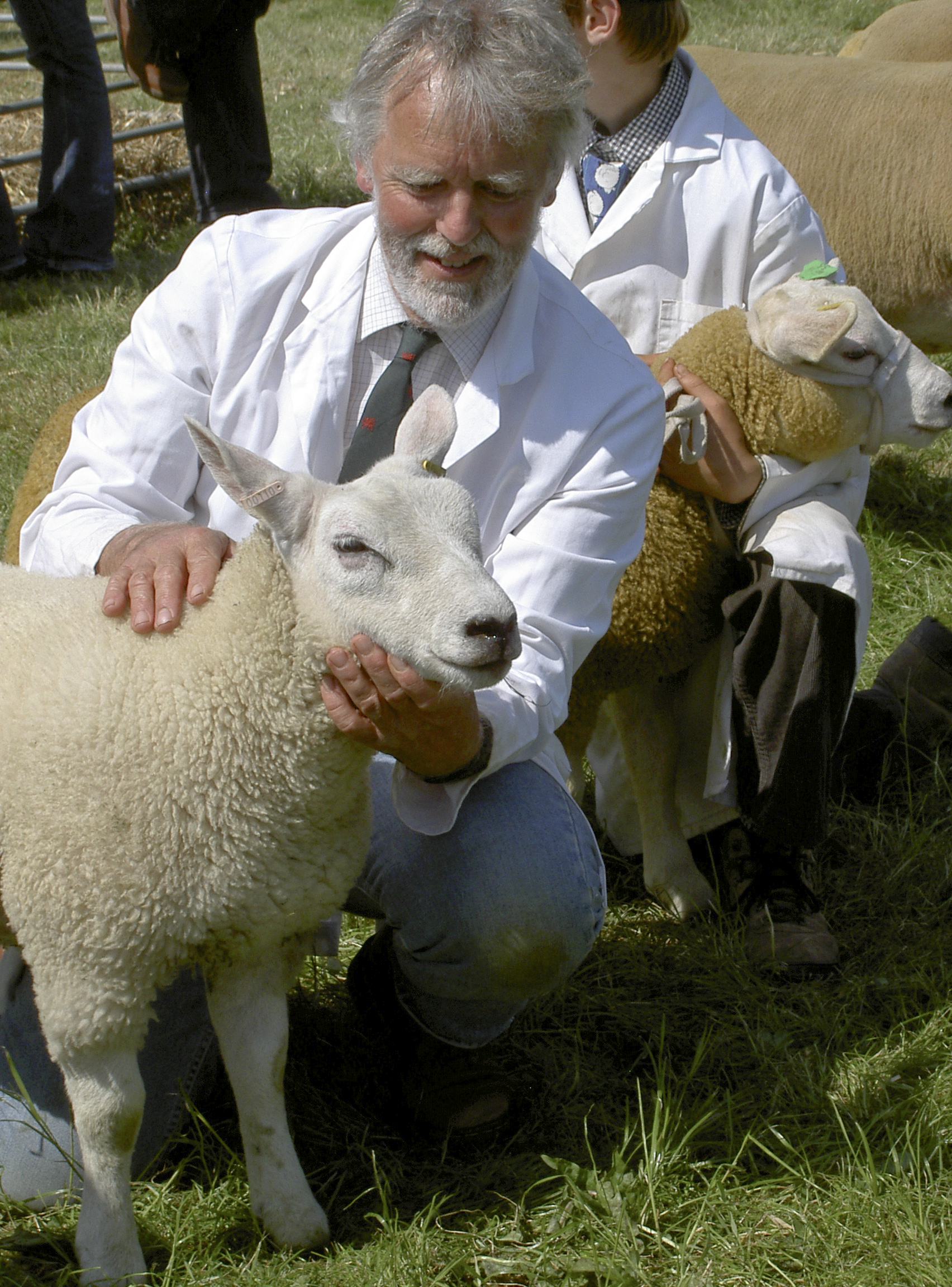
North Somerset Show
The North Somerset Show is an agricultural show held annually in May at Wraxall, North Somerset, England. It is organised by the North Somerset Agricultural...
Nearby Amenities
Located within 500m of 51.443353,-2.7115442Have you been to Bendle Combe?
Leave your review of Bendle Combe below (or comments, questions and feedback).