Willdale
Valley in Westmorland Eden
England
Willdale

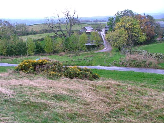
Willdale is a small village located in the picturesque county of Westmorland, situated in the valley region of the county. With a population of around 300 residents, Willdale is known for its tranquil and serene atmosphere, making it an ideal place for those seeking a peaceful countryside retreat.
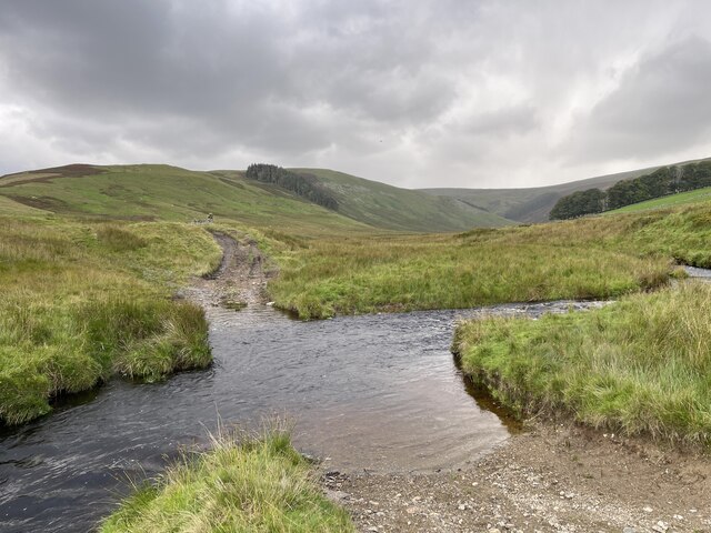
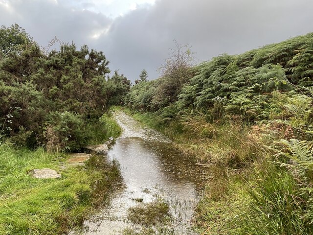
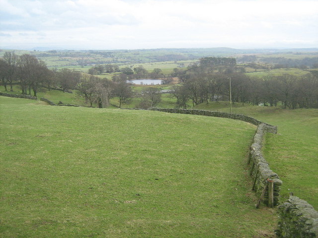
The village is surrounded by breathtaking natural beauty, with rolling hills and lush green fields as far as the eye can see. The River Wylde runs through the village, adding to its charm and providing a stunning backdrop for residents and visitors alike.
Despite its small size, Willdale boasts a strong sense of community, with various social and recreational activities bringing residents together. The village hall is a hub of activity, hosting regular events such as community gatherings, craft fairs, and yoga classes.
In terms of amenities, Willdale offers a few local shops and a traditional village pub, where locals and visitors can enjoy a pint of locally brewed ale or indulge in classic British pub food.
For those seeking outdoor pursuits, the surrounding area offers ample opportunities for walking, hiking, and cycling. The nearby national parks and nature reserves provide a haven for wildlife enthusiasts and birdwatchers, with rare species often spotted in the area.
Overall, Willdale in Westmorland is a quaint and idyllic village, offering a peaceful and close-knit community surrounded by stunning natural beauty. It is a haven for those seeking a slower pace of life and a connection with nature.
If you have any feedback on the listing, please let us know in the comments section below.
Willdale Images
Images are sourced within 2km of 54.547514/-2.7928389 or Grid Reference NY4817. Thanks to Geograph Open Source API. All images are credited.


Willdale is located at Grid Ref: NY4817 (Lat: 54.547514, Lng: -2.7928389)
Administrative County: Cumbria
District: Eden
Police Authority: Cumbria
What 3 Words
///sideburns.tingled.chucked. Near Shap, Cumbria
Related Wikis

West Ward Rural District
West Ward was a rural district of the administrative county of Westmorland. The area was directly based on the former West Ward rural sanitary district...

Bampton, Cumbria
Bampton is a village and civil parish in the Eden District of Cumbria, England, on the edge of the Lake District National Park. It is in the historic...

Wether Hill (Lake District)
Wether Hill is a fell in the English Lake District, between Martindale and Haweswater. It lies on the main north-south ridge of the Far Eastern Fells between...

Naddle Horseshoe
The Naddle Horseshoe is a group of summits in the English Lake District, south of Mardale valley, Cumbria. It is the subject of a chapter of Wainwright...

Butterwick, Cumbria
Butterwick is a hamlet in Cumbria, England, near the village of Helton. == Location grid ==

Haweswater Beck
Haweswater Beck flows through Cumbria in England. It arises as a stream discharge from Haweswater Reservoir, at Gill Dubs, just east of the dam, and flows...

Loadpot Hill
Loadpot Hill is a fell in the English Lake District, between Haweswater and Ullswater. == Topography == Although of moderate height, Loadpot Hill and its...

Haweswater Reservoir
Haweswater is a reservoir in the valley of Mardale, Cumbria in the Lake District, England. Work to raise the height of the original natural lake was started...
Nearby Amenities
Located within 500m of 54.547514,-2.7928389Have you been to Willdale?
Leave your review of Willdale below (or comments, questions and feedback).