Branch Cleuch
Valley in Roxburghshire
Scotland
Branch Cleuch
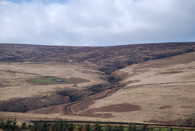
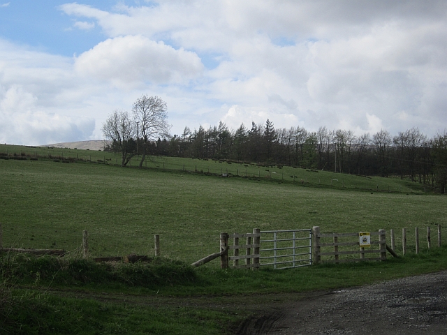
Branch Cleuch is a picturesque valley located in Roxburghshire, a historic county in the Scottish Borders region of Scotland. Nestled amidst the rolling hills and verdant countryside, this valley is renowned for its stunning natural beauty and tranquil atmosphere.
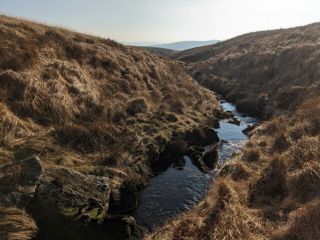
Situated approximately 5 miles to the northeast of the town of Hawick, Branch Cleuch is characterized by its lush greenery, meandering streams, and rugged terrain. The valley is flanked by steep hillsides, which are often covered in heather and bracken, creating a vibrant tapestry of colors throughout the year.
A prominent feature of Branch Cleuch is the crystal-clear stream that runs through its heart, providing a source of refreshing water and a habitat for various species of fish and wildlife. The stream flows down from higher elevations, descending in a series of cascades and waterfalls, adding to the valley's scenic charm.
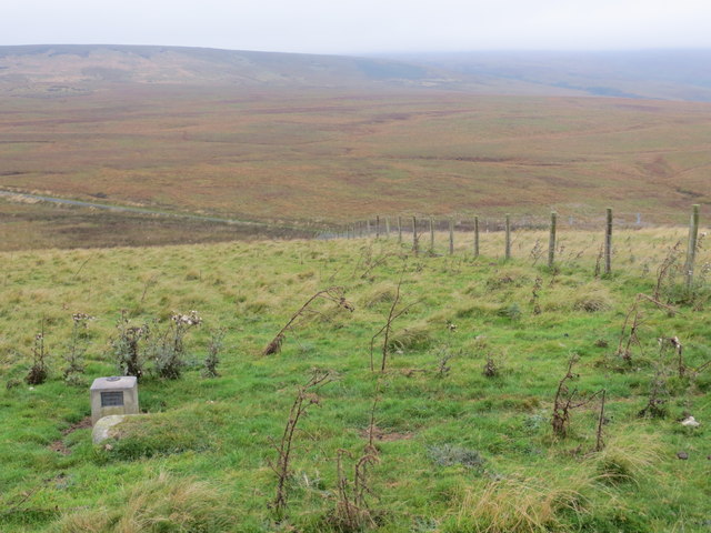
The valley is a haven for outdoor enthusiasts and nature lovers. It offers numerous opportunities for hiking, walking, and wildlife spotting. The surrounding hillsides provide ample space for exploration, and the valley's trails lead visitors to breathtaking viewpoints, where they can admire panoramic vistas of the surrounding landscape.
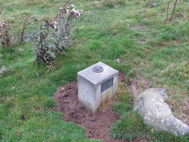
Branch Cleuch is also steeped in history and folklore. It is believed to have been inhabited since ancient times, and remnants of old settlements and structures can still be found in the area. The valley holds a sense of mystery and enchantment, with tales of mythical creatures and legendary figures passed down through generations.
Overall, Branch Cleuch is a hidden gem in Roxburghshire, offering visitors a chance to escape the hustle and bustle of modern life and immerse themselves in the tranquility of nature. Its natural beauty, rich history, and serene atmosphere make it a must-visit destination for those seeking an authentic Scottish countryside experience.
If you have any feedback on the listing, please let us know in the comments section below.
Branch Cleuch Images
Images are sourced within 2km of 55.196976/-2.8322741 or Grid Reference NY4789. Thanks to Geograph Open Source API. All images are credited.


Branch Cleuch is located at Grid Ref: NY4789 (Lat: 55.196976, Lng: -2.8322741)
Unitary Authority: The Scottish Borders
Police Authority: The Lothians and Scottish Borders
What 3 Words
///decays.forwarded.lies. Near Langholm, Dumfries & Galloway
Nearby Locations
Related Wikis

Newcastleton railway station
Newcastleton railway station served the village of Newcastleton, Scottish Borders, Scotland from 1862 to 1969 on the Border Union Railway. == History... ==

Newcastleton
Newcastleton, also called Copshaw Holm, is a village in Liddesdale, the Scottish Borders, a few miles from the border with England, on the Liddel Water...

Castleton, Scottish Borders
Castleton (Scottish Gaelic: Baile Chaisteil) is a civil parish in the Scottish Borders area of Scotland, in the former Roxburghshire, in the extreme south...

Ettleton
Ettleton is a village near Castleton, in the Scottish Borders area of Scotland, in the former Roxburghshire. == Etymology and history == Ettleton Parish...

Liddel Castle
Liddel Castle is a ruined castle in Liddesdale, by the Liddel Water, near Castleton in the Scottish Borders area of Scotland, in the former county of Roxburghshire...

Mangerton Tower
Mangerton Tower is a ruined Scottish tower castle house formerly belonging to the Armstrong family. Mangerton Tower is at Mangerton in Newcastleton or...
Dinlabyre
Dinlabyre is a village on the B6357 in Liddesdale, on the edge of the Newcastleton Forest, close to Castleton, in the Scottish Borders area of Scotland...
Steele Road railway station
Steele Road railway station served the hamlet of Steele Road, Scottish Borders, Scotland, from 1862 to 1969 on the Border Union Railway. == History... ==
Nearby Amenities
Located within 500m of 55.196976,-2.8322741Have you been to Branch Cleuch?
Leave your review of Branch Cleuch below (or comments, questions and feedback).