Brown Rigg

Valley in Westmorland Eden

England

Brown Rigg

Old Boundary Marker on The Dodd Parish Boundary Marker on The Dodd, 1820 metres north of Loadpot Hill. On the boundary of Barton and Askham parishes.

Milestone Society National ID: WE_BART12pb
Old Boundary Marker on The Dodd Credit: Colin Smith

Brown Rigg, Westmorland (Valley) is a picturesque region located in the county of Cumbria, England. Nestled within the stunning Lake District National Park, it is renowned for its breathtaking natural beauty and tranquil atmosphere.

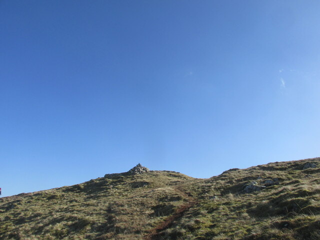
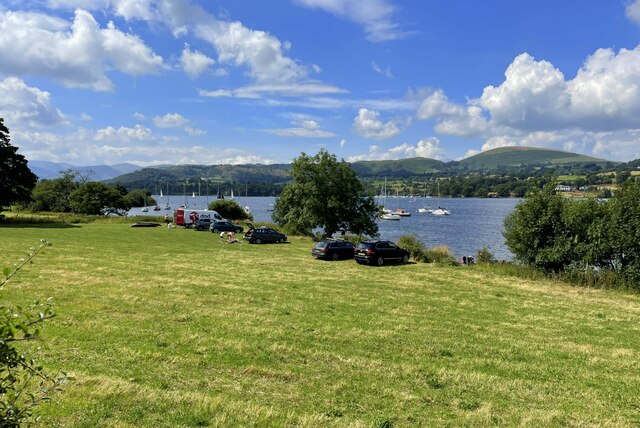
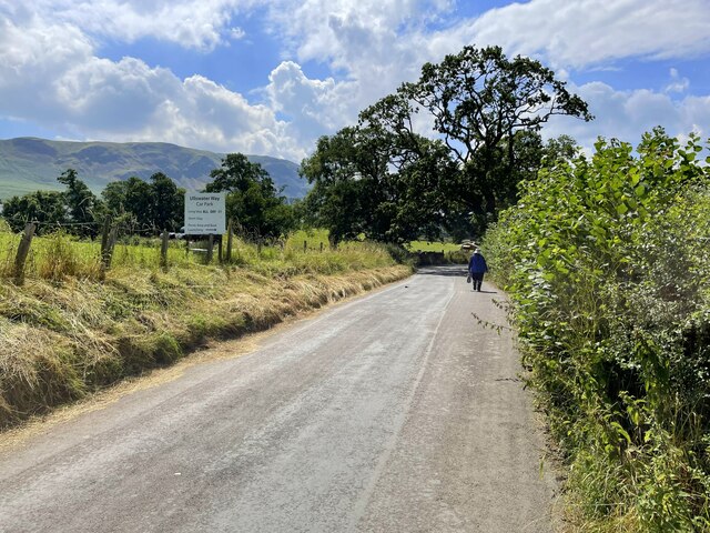
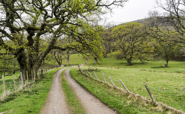
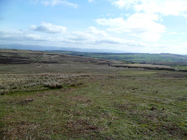
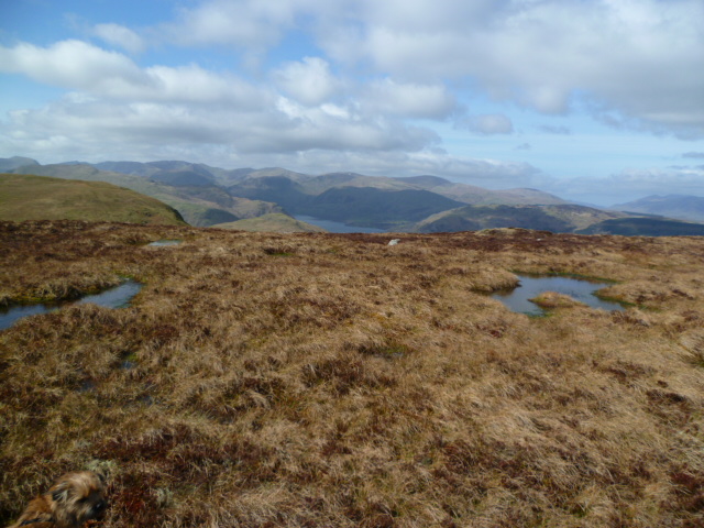
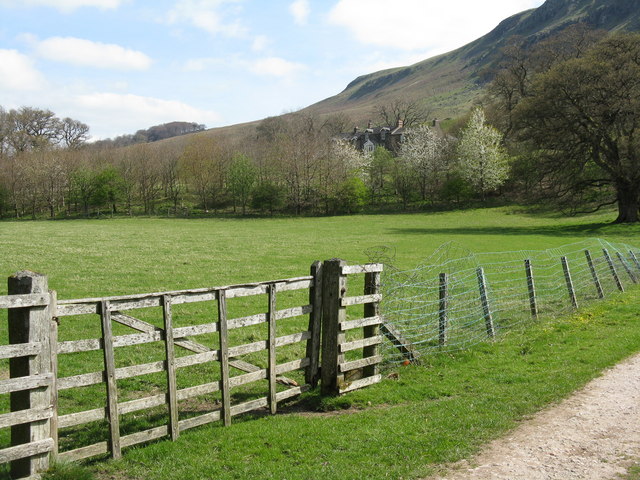
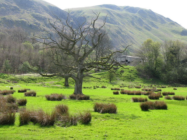
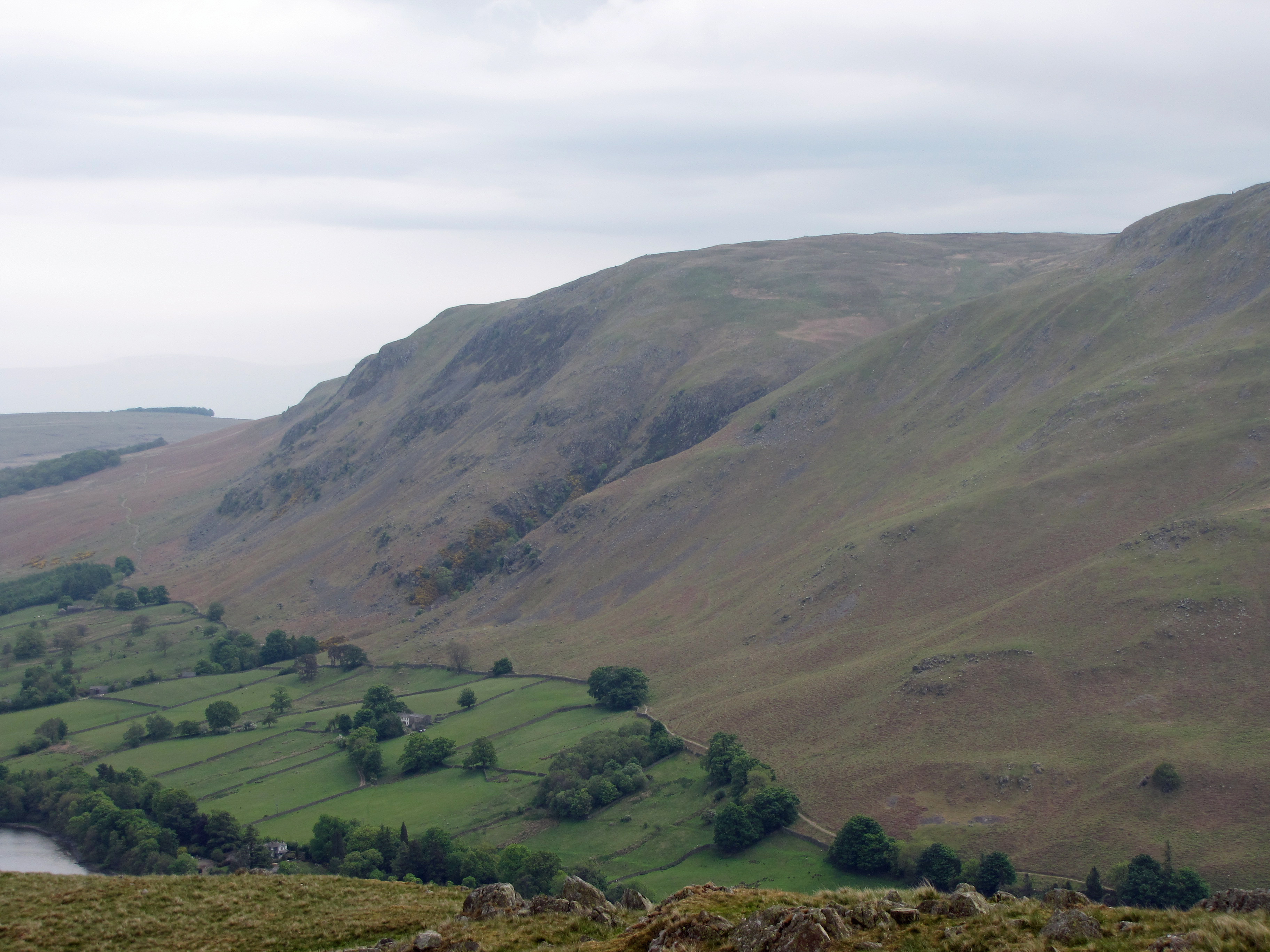
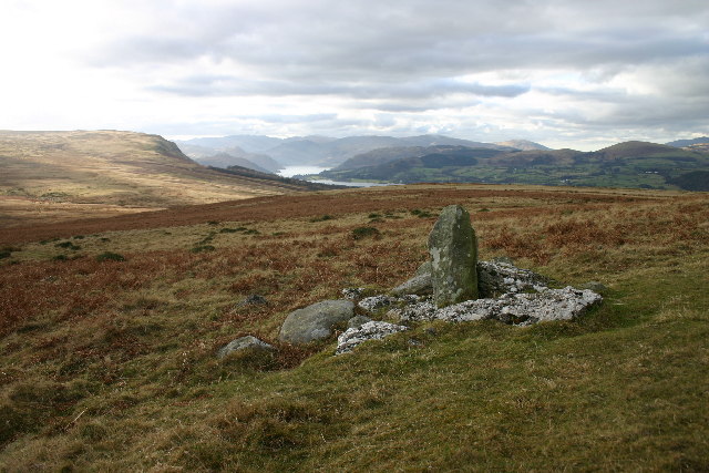
The valley of Brown Rigg is characterized by rolling green hills, lush valleys, and charming villages. The landscape is dominated by the majestic Lake District fells, providing a stunning backdrop for outdoor enthusiasts and nature lovers. The area is particularly popular among hikers, who can explore numerous trails and pathways that wind through the valley and offer stunning panoramic views.

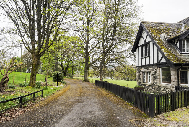
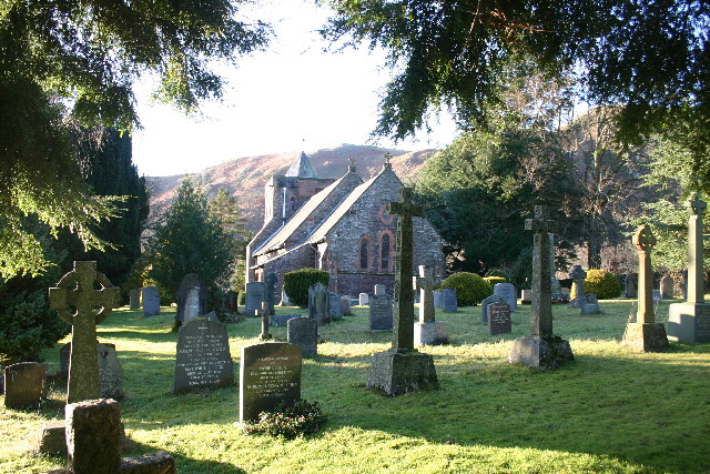
The small village of Brown Rigg is the heart of the valley, boasting a quaint charm and a close-knit community. The village is home to a handful of traditional stone cottages, a church, and a cozy local pub. The pub serves as a social hub for both locals and visitors, offering a warm welcome and serving delicious traditional meals.

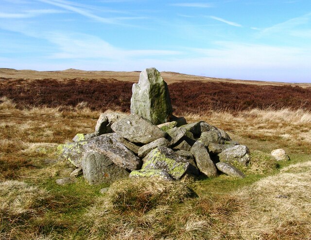
In addition to its natural beauty, Brown Rigg is also rich in history and culture. The region has a strong agricultural heritage, with farming being a prominent industry. Visitors can learn about the area's history by exploring the nearby historic sites, such as ancient stone circles and Roman ruins.

Overall, Brown Rigg, Westmorland (Valley) offers a peaceful and idyllic retreat for those seeking to escape the hustle and bustle of city life. With its stunning landscapes, charming village, and rich history, it is a truly enchanting destination within the Lake District.

If you have any feedback on the listing, please let us know in the comments section below.
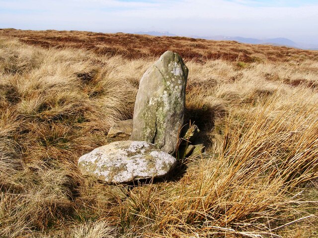
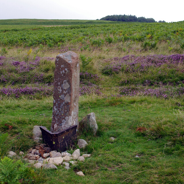
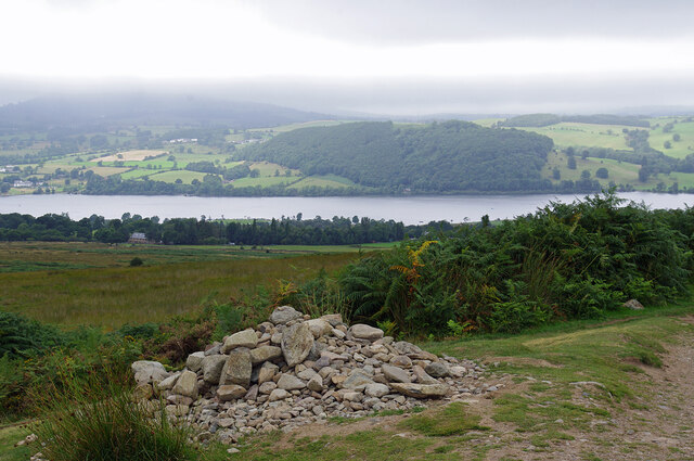
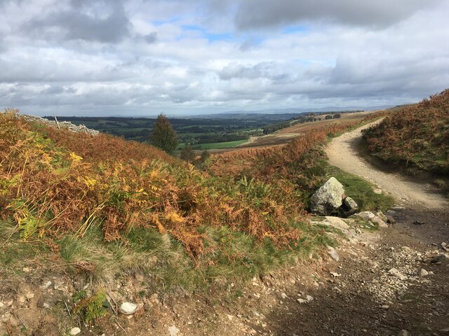
Brown Rigg Images

Images are sourced within 2km of 54.584081/-2.8199616 or Grid Reference NY4721. Thanks to Geograph Open Source API. All images are credited.

Old Boundary Marker on The Dodd Parish Boundary Marker on The Dodd, 1820 metres north of Loadpot Hill. On the boundary of Barton and Askham parishes.

Milestone Society National ID: WE_BART12pb
Old Boundary Marker on The Dodd
Parish Boundary Marker on The Dodd, 1820 metres north of Loadpot Hill. On the boundary of Barton and Askham parishes. Milestone Society National ID: WE_BART12pb
Boundary stone, Ketley Gate See <a href="https://www.geograph.org.uk/photo/6462500">NY4822 : Old Boundary Marker</a> for more information.
Boundary stone, Ketley Gate
See NY4822 : Old Boundary Marker for more information.
Cairn below Heughscar Hill
Path crossing Aik Beck
Small cairn on the summit of Arthur's Pike
Parked up by the lakeside
Strolling down the lane to Howtown
Access road for Sharrow Cottages The road leaves the minor public road on the east side of Ullswater south of Sharrow Bay. It's also the route of a public footpath.
Access road for Sharrow Cottages
The road leaves the minor public road on the east side of Ullswater south of Sharrow Bay. It's also the route of a public footpath.
Access road for Sharrow Bay Hotel The Sharrow Bay Hotel closed in March 2020 blaming the Covid-19 pandemic for its inability to continue trading. On the day the image was recorded the access road remained barred and notices were in place forbidding entry to the site.
Access road for Sharrow Bay Hotel
The Sharrow Bay Hotel closed in March 2020 blaming the Covid-19 pandemic for its inability to continue trading. On the day the image was recorded the access road remained barred and notices were in place forbidding entry to the site.
Old Boundary Marker at Threepow Raise Parish Boundary Marker at Threepow Raise, 720 metres southwest of Ketley Gate. On the boundary of Barton and Askham parishes. Inscribed L on its east face.

Milestone Society National ID: WE_BART10pb
Old Boundary Marker at Threepow Raise
Parish Boundary Marker at Threepow Raise, 720 metres southwest of Ketley Gate. On the boundary of Barton and Askham parishes. Inscribed L on its east face. Milestone Society National ID: WE_BART10pb
Old Boundary Marker at Wartches Parish Boundary Marker at Wartches, 2820 metres southwest of Ketley Gate. On the boundary of Barton and Askham parishes. See also <a title="https://www.geograph.org.uk/photo/1563511" href="https://www.geograph.org.uk/photo/1563511">Link</a> and <a title="https://www.geograph.org.uk/photo/3275338" href="https://www.geograph.org.uk/photo/3275338">Link</a>.

Milestone Society National ID: WE_BART08pb
Old Boundary Marker at Wartches
Parish Boundary Marker at Wartches, 2820 metres southwest of Ketley Gate. On the boundary of Barton and Askham parishes. See also Link and Link. Milestone Society National ID: WE_BART08pb
Old Boundary Marker on Brown Rigg Parish Boundary Marker on Brown Rigg, 1970 metres southwest of Ketley Gate. On the boundary of Barton and Askham parishes. See also <a title="https://www.geograph.org.uk/photo/2852174" href="https://www.geograph.org.uk/photo/2852174">Link</a>.

Milestone Society National ID: WE_BART11pb
Old Boundary Marker on Brown Rigg
Parish Boundary Marker on Brown Rigg, 1970 metres southwest of Ketley Gate. On the boundary of Barton and Askham parishes. See also Link. Milestone Society National ID: WE_BART11pb
On Helton Fell Under Knotts
On Helton Fell
Under Knotts
Leaving Arthur's Pike On the ridge heading for Bonscale Pike. Ullswater in shot.
Leaving Arthur's Pike
On the ridge heading for Bonscale Pike. Ullswater in shot.
Sharrow Bay Cottages By the side of Ullswater on the road to Martindale, under Barton Fell
Sharrow Bay Cottages
By the side of Ullswater on the road to Martindale, under Barton Fell
Farmland near Sharrow Bay Looking south towards Swarthbeck and the fells of Martindale Common.
Farmland near Sharrow Bay
Looking south towards Swarthbeck and the fells of Martindale Common.
Gardens at Sharrow Bay Hotel By the side of Ullswater.
Gardens at Sharrow Bay Hotel
By the side of Ullswater.
Ullswater shore at Sharrow Bay
Show me another place!

Brown Rigg is located at Grid Ref: NY4721 (Lat: 54.584081, Lng: -2.8199616)

Administrative County: Cumbria

District: Eden

Police Authority: Cumbria

What 3 Words

///unlimited.faced.proposes. Near Penrith, Cumbria

Nearby Locations

Brown Rigg

Related Wikis

Arthur's Pike

Arthur's Pike is a fell in the English Lake District, near Ullswater. It is a subsidiary top on the ridge falling north from Loadpot Hill in the Far Eastern...

Sharrow Bay Country House

Sharrow Bay Country House was a hotel and restaurant located on the eastern shore of Ullswater near Pooley Bridge, Cumbria, England. The hotel is associated...

Bonscale Pike

Bonscale Pike is a fell in the English Lake District, standing above Howtown on Ullswater. It is the northern end of a spur running north north west from...

Barton and Pooley Bridge

Barton and Pooley Bridge is a civil parish in Eden District, Cumbria, England. The parish is on the edge of the Lake District National Park, and had a...

Heughscar Hill

Heughscar Hill is a hill in the east of the English Lake District, east of Ullswater and north of High Street, Cumbria. It is the subject of a chapter...

Watermillock

Watermillock is a village and former civil parish, now in the parish of Matterdale, in the Westmorland and Furness district, in the ceremonial county of...

Ullswater Way

The Ullswater Way is a 20-mile (32 km) waymarked walking route around Ullswater in the English Lake District. It was created by a partnership which included...

Pooley Bridge

Pooley Bridge is a village in the Eden District of the northwestern English county of Cumbria, within the traditional borders of Westmorland. The village...

Nearby Amenities

Located within 500m of 54.584081,-2.8199616
Brown Rigg
Place: locality
Lat/Long: 54.5825051/-2.8209319
The data included in this document is from www.openstreetmap.org. The data is made available under ODbL.

Have you been to Brown Rigg?

Leave your review of Brown Rigg below (or comments, questions and feedback).