Riggindale
Valley in Westmorland Eden
England
Riggindale

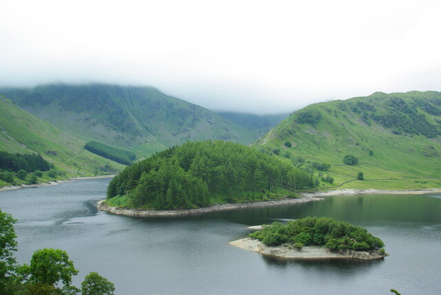
Riggindale is a picturesque valley situated in the county of Westmorland, England. Nestled within the heart of the Lake District National Park, this tranquil valley offers breathtaking natural beauty and a sense of serenity to all who visit.
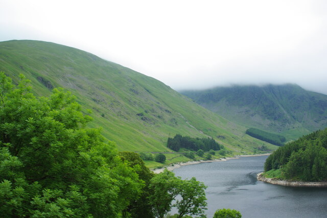
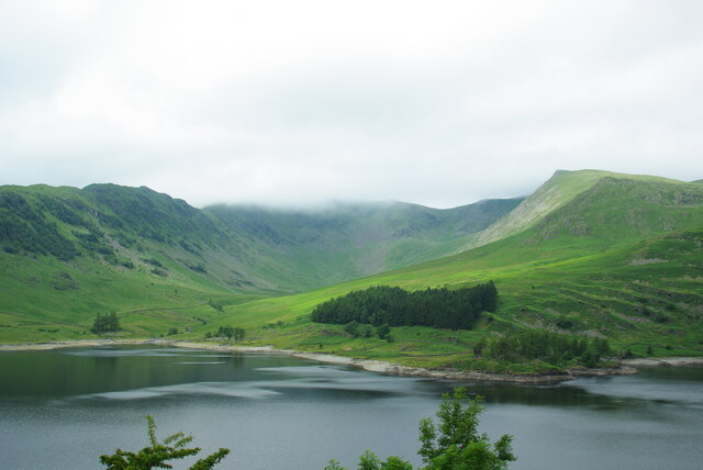
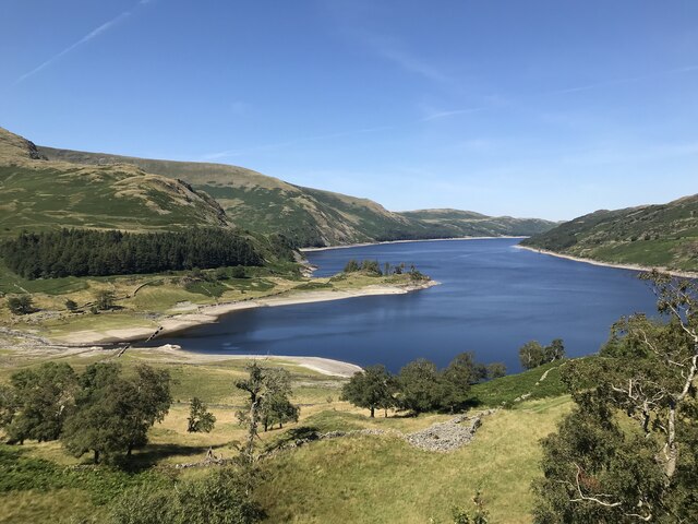
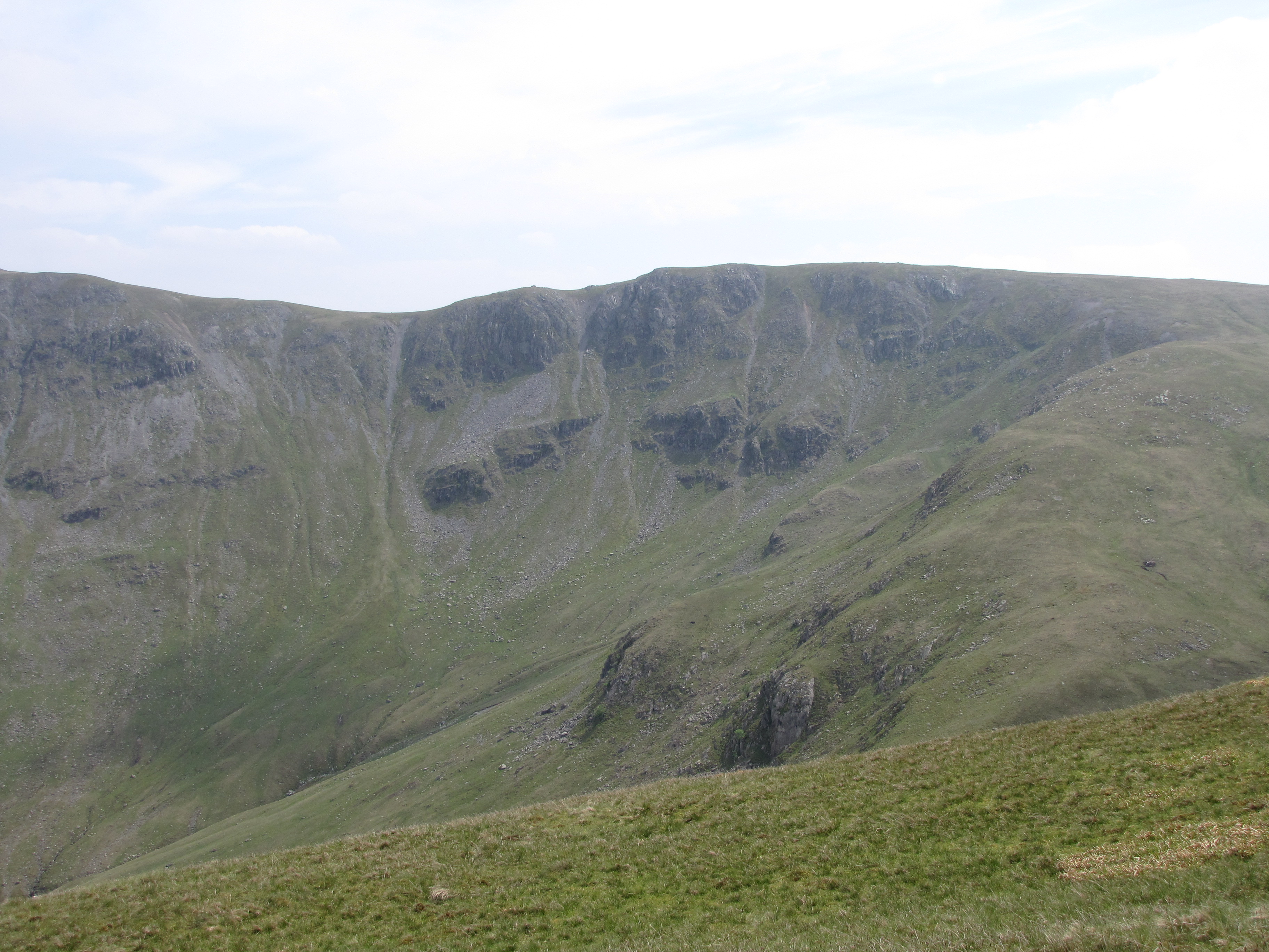
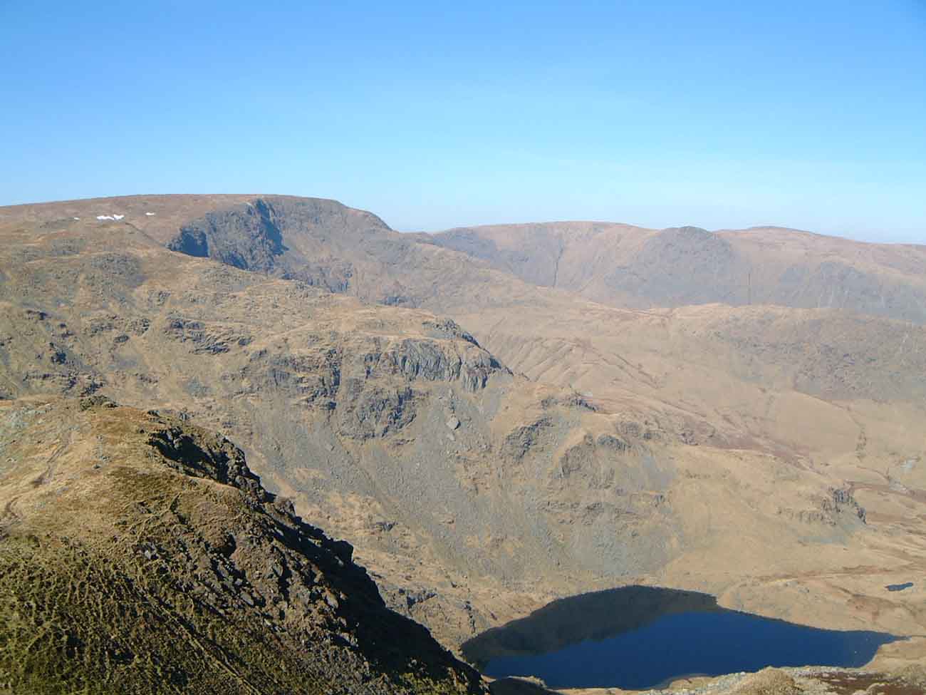
The valley is flanked by towering mountains, with the prominent High Street peak dominating the backdrop. The valley floor is carpeted with lush green meadows, dotted with grazing sheep and wildflowers during the summer months. Riggindale Beck, a crystal-clear stream, meanders through the valley, adding to its idyllic charm.
Riggindale is renowned for its rich biodiversity and is home to several rare and protected species. The valley serves as a habitat for the iconic red deer, as well as a variety of bird species including the golden eagle and peregrine falcon. The area is also abundant in flora, with a vibrant display of wildflowers, including bluebells and foxgloves, in the springtime.
The valley offers numerous walking trails, attracting outdoor enthusiasts and nature lovers alike. The ascent to High Street, the highest point in the area, provides panoramic views of the surrounding fells and lakes, making it a popular destination for hikers and photographers.
Riggindale's isolation and natural beauty have made it a place of inspiration for many artists and writers throughout history. Its unspoiled landscape and serene atmosphere make it a haven for those seeking peace and tranquility in the midst of nature.
In conclusion, Riggindale is a hidden gem within the Lake District National Park, offering a stunning combination of rugged mountains, meandering streams, and diverse wildlife. It is a place where one can escape the hustle and bustle of everyday life and immerse themselves in the beauty of the natural world.
If you have any feedback on the listing, please let us know in the comments section below.
Riggindale Images
Images are sourced within 2km of 54.498359/-2.8387803 or Grid Reference NY4511. Thanks to Geograph Open Source API. All images are credited.


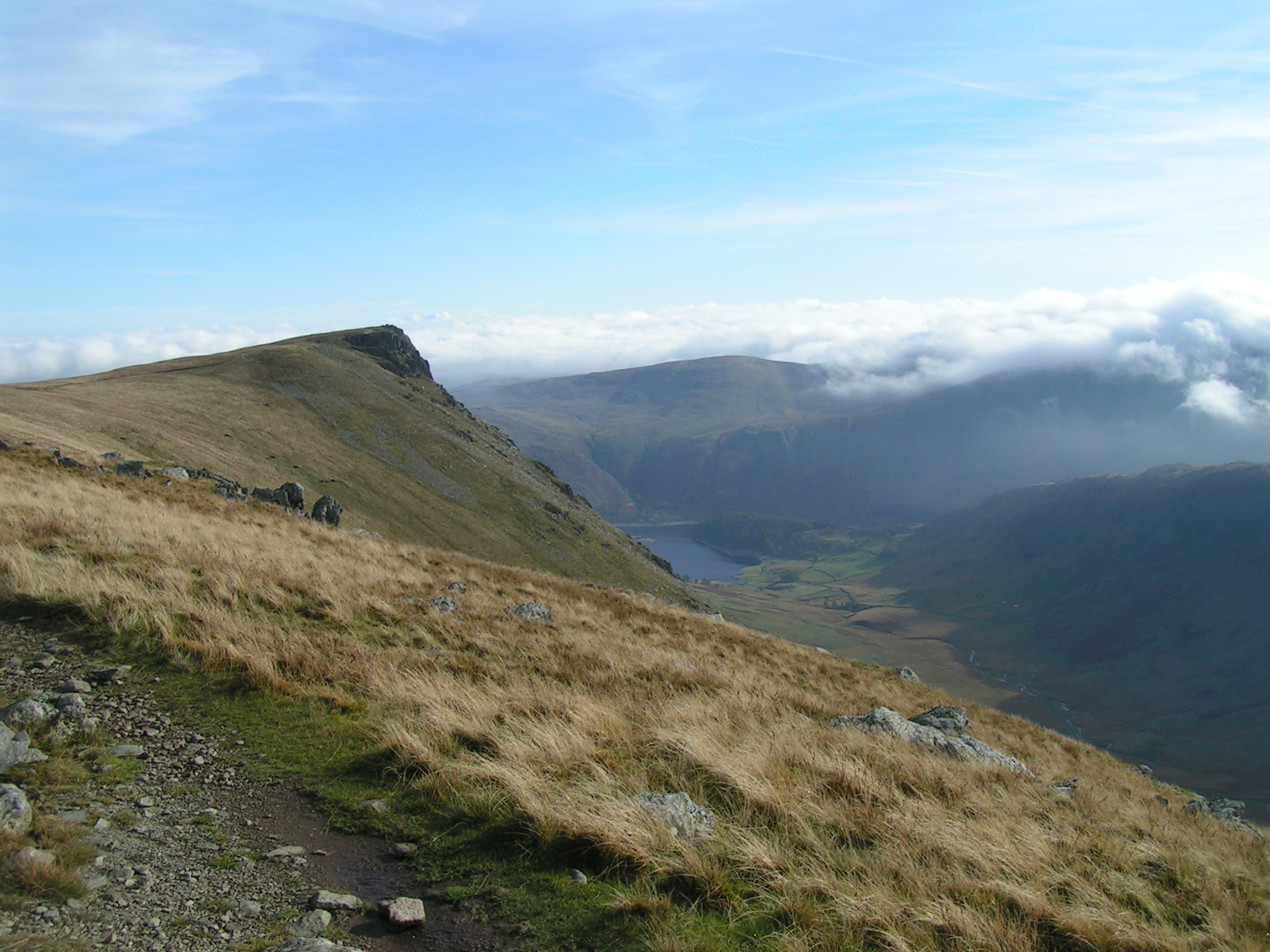
![High Streetâs Roman Road Or is it?
The first reference to a Roman Road over the 828m high fell High Street appeared in a book published in 1814 by John Britton and Edward Wedlake Brayley: ‘The Beauties of England and Wales, Or, Delineations, Topographical, Historical, and Descriptive, of Each County’.
In spite of some Victorian excavations, when nothing conclusive was found, the general assumption was that the route connected the Roman forts at Brougham, near Penrith, and Ambleside, suggesting that a likely construction date sometime during the late 1st or early 2nd century A.D.
That assumption is still put forward in many tourist information literature including that of the Lake District National Park.
An archaeological survey in 2006 in advance of some footpath repairs concluded that the road surface “is not what might be described as typical for the Roman period, but it does have some similarities with other [upland] roads of Roman date”.
Lowland Roman Roads were built raised above the general ground level, surfaced with a camber and with ditches either side, to ensure good drainage. In contrast, parts of the route over High Street actually shows signs of being a hollow-way.
So basically no evidence has been found that a road over High Street was built by the Romans. There may well have been an existing prehistoric route which may have been used by the Romans. Maybe even repaired by them.
The photo shows the route of the “road” as it passes the narrow col of the Straits of Riggindale after traversing Rampsgill Head and before the final climb up to High Street.
For sources see my blog <span class="nowrap"><a title="http://www.fhithich.uk/?p=27510" rel="nofollow ugc noopener" href="http://www.fhithich.uk/?p=27510">Link</a><img style="margin-left:2px;" alt="External link" title="External link - shift click to open in new window" src="https://s1.geograph.org.uk/img/external.png" width="10" height="10"/></span>](https://s2.geograph.org.uk/geophotos/07/13/52/7135274_b2865cf0.jpg)


Riggindale is located at Grid Ref: NY4511 (Lat: 54.498359, Lng: -2.8387803)
Administrative County: Cumbria
District: Eden
Police Authority: Cumbria
What 3 Words
///former.footballers.mats. Near Ambleside, Cumbria
Nearby Locations
Related Wikis
Kidsty Pike
Kidsty Pike is a fell in the English Lake District, standing to the west of Haweswater Reservoir. It is a subsidiary top of Rampsgill Head, but has long...

Blea Water
Blea Water is a tarn or corrie lake which occupies a glacially excavated hollow immediately to the east of High Street in the Lake District, England. At...
Rampsgill Head
Rampsgill Head is a fell in the English Lake District, standing to the west of Haweswater Reservoir in the Far Eastern Fells. It forms the focal point...

High Raise (High Street)
High Raise is a fell in the English Lake District, standing to the west of Haweswater Reservoir in the Far Eastern Fells. Note that another High Raise...
High Street (Lake District)
High Street is a fell in the English Lake District. At 828 metres (2,717 ft), its summit is the highest point in the far eastern part of the national park...

Mardale Ill Bell
Mardale Ill Bell is a fell in the English Lake District, rising to the south west of Haweswater Reservoir. It stands on the watershed between Mardale and...

Mardale
Mardale is a glacial valley in the Lake District, in northern England. The valley used to have a hamlet at its head, called Mardale Green, but this village...

The Knott
The Knott is a fell in the English Lake District, standing above Hayeswater in the Far Eastern Fells. It is an outlier of Rampsgill Head, being the high...
Related Videos
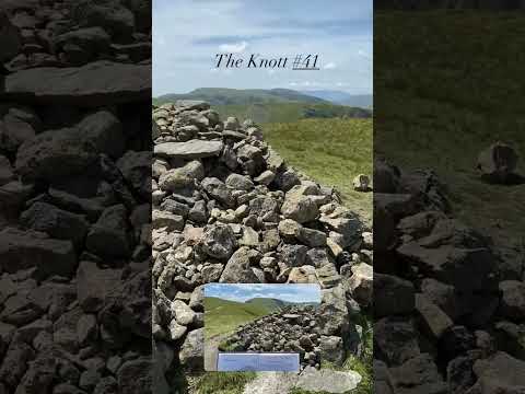
The Knott #41
A good high level walk taking in six Wainwright's https://jimearl6.com/a-high-street-round/#more-6448 A good walk to do on a ...
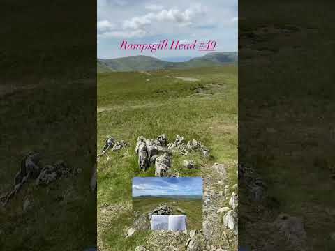
Rampsgill Head #40
A good high level walk taking in six Wainwright's https://jimearl6.com/a-high-street-round/#more-6448 A good walk to do on a ...
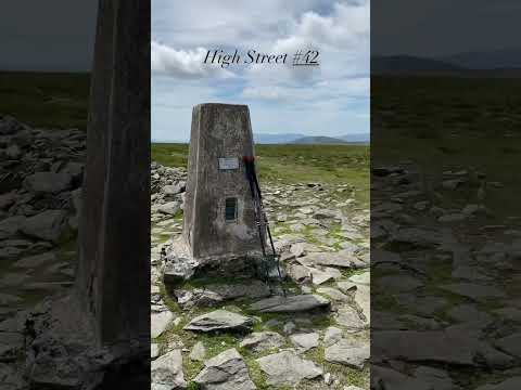
High Street #42
A good high level walk taking in six Wainwright's https://jimearl6.com/a-high-street-round/#more-6448 A good walk to do on a ...

Kidsty Pike #38
A good high level walk taking in six Wainwright's https://jimearl6.com/a-high-street-round/#more-6448 A good walk to do on a ...
Nearby Amenities
Located within 500m of 54.498359,-2.8387803Have you been to Riggindale?
Leave your review of Riggindale below (or comments, questions and feedback).