Back Den
Valley in Aberdeenshire
Scotland
Back Den
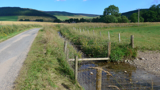
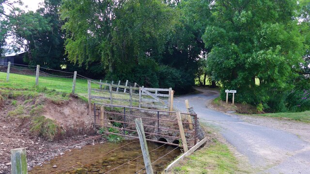
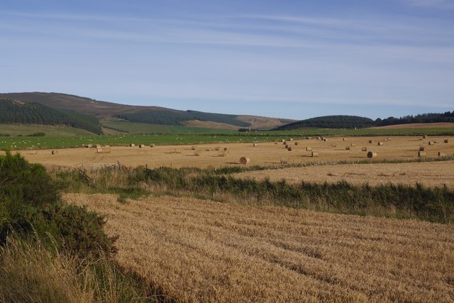
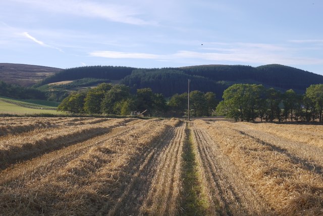
Back Den is a picturesque valley located in Aberdeenshire, Scotland. Situated in the northeastern part of the country, it is renowned for its stunning natural beauty and tranquil atmosphere. The valley is nestled between rolling hills and surrounded by dense forests, offering visitors a sense of seclusion and peace.
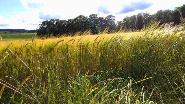
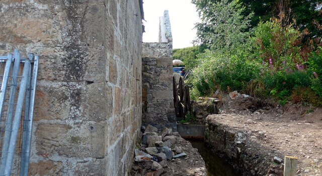
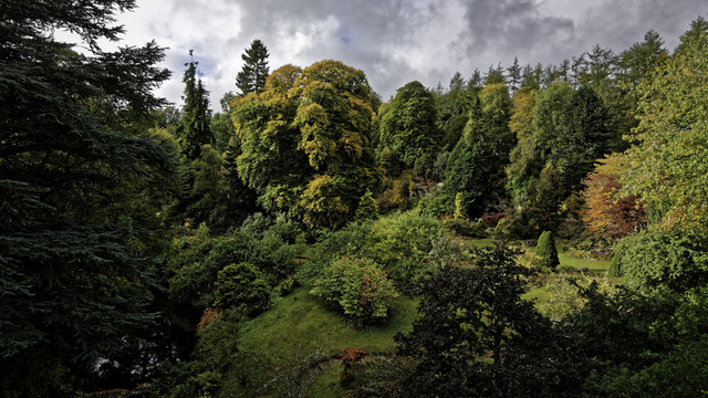
The landscape of Back Den is characterized by its lush greenery, with abundant flora and fauna that thrive in the fertile soil. The valley is traversed by a meandering river, which adds to the charm and serenity of the area. The river provides a habitat for various species of fish and is a popular spot for fishing enthusiasts.
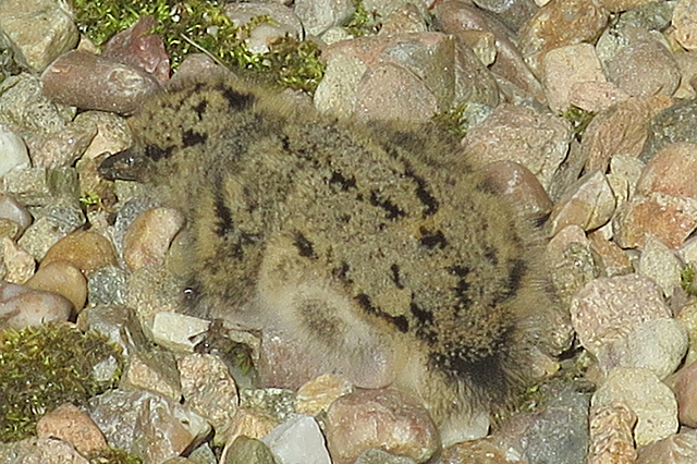
The valley is also home to a diverse range of wildlife, including red deer, birds of prey, and other smaller mammals. Nature lovers and wildlife enthusiasts often visit Back Den to observe and appreciate the local fauna in their natural habitat.
In addition to its natural attractions, Back Den offers several recreational activities for visitors. The valley features numerous hiking trails, allowing outdoor enthusiasts to explore the stunning scenery and enjoy breathtaking views from the hilltops. The area is also popular for cycling and picnicking, as well as camping, providing an opportunity for visitors to immerse themselves in the beauty of the Scottish countryside.
Overall, Back Den in Aberdeenshire is a hidden gem, offering a peaceful retreat for those seeking solace in nature. Its scenic landscapes, abundant wildlife, and recreational opportunities make it an ideal destination for outdoor enthusiasts and nature lovers alike.
If you have any feedback on the listing, please let us know in the comments section below.
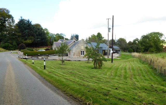
Back Den Images
Images are sourced within 2km of 57.235628/-2.9050566 or Grid Reference NJ4516. Thanks to Geograph Open Source API. All images are credited.


Back Den is located at Grid Ref: NJ4516 (Lat: 57.235628, Lng: -2.9050566)
Unitary Authority: Aberdeenshire
Police Authority: North East
What 3 Words
///keeps.prouder.sifts. Near Alford, Aberdeenshire
Nearby Locations
Related Wikis
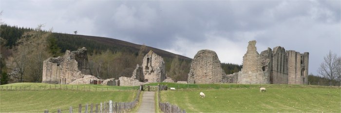
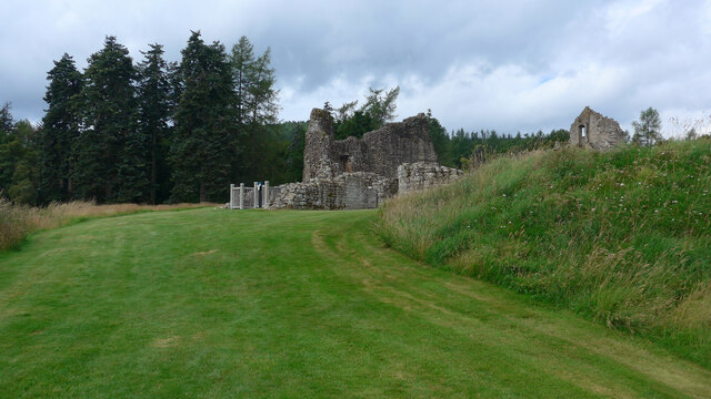
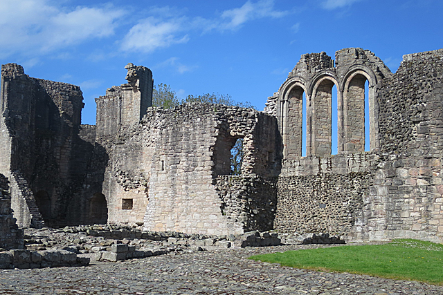
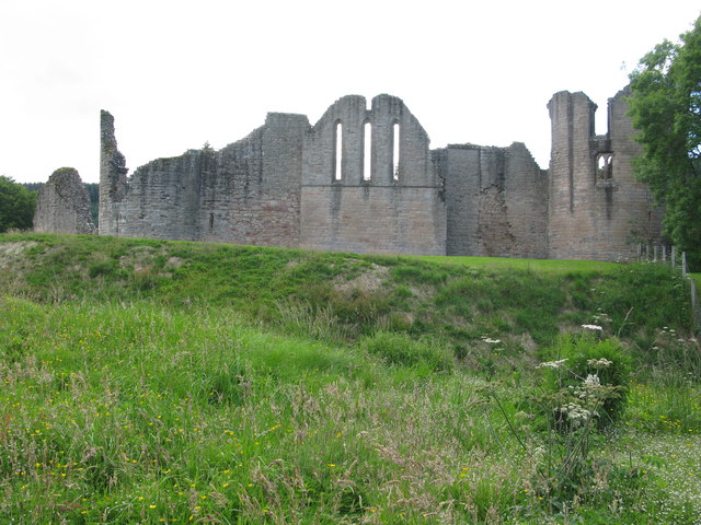
Kildrummy Castle
Kildrummy Castle is a ruined castle near Kildrummy, in Aberdeenshire, Scotland. Though ruined, it is one of the most extensive castles dating from the...

Scottish Sculpture Open
The Scottish Sculpture Open exhibition, sometimes known as the Kildrummy Open, was organised by the Scottish Sculpture Workshop from 1981 to 1997. The...

Kildrummy
Kildrummy (Scottish Gaelic: Cionn Droma) is a hamlet in Aberdeenshire, Scotland near the River Don, 7 miles (11 kilometres) west of Alford. The hamlet...

Mossat
Mossat is a settlement in Aberdeenshire, Scotland on the A97 road near Glenkindie and Lumsden, between Bridge of Alford and Strathdon, and is situated...
Brux Castle
Brux Castle was a castle of the Forbeses, about 1.5 miles (2.4 km) east of Kildrummy, Aberdeenshire, Scotland, south of the river Don. The castle was...
Glenkindie Castle
Glenkindie Castle was a 16th-century castle, about 3 miles (4.8 km) south-west of Kildrummy, Aberdeenshire, Scotland, at Glenkindie, north of the River...
Towie Castle
Towie Castle was a 17th-century tower house, about 3.5 miles (5.6 km) southwest of Kildrummy in Aberdeenshire, Scotland, on the right bank of the Don....

Towie, Aberdeenshire
Towie is a small hamlet and civil parish in Aberdeenshire, Scotland, close to Alford and Lumsden, on the River Don.One of the most notable features of...
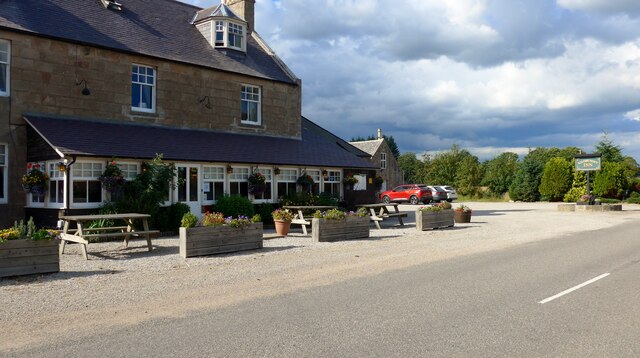
Nearby Amenities
Located within 500m of 57.235628,-2.9050566Have you been to Back Den?
Leave your review of Back Den below (or comments, questions and feedback).