White Cleuch

Valley in Roxburghshire

Scotland

White Cleuch

Esdale Law Hill grazing beside the Ashkirk-Roberton hill road.
Esdale Law Credit: Richard Webb

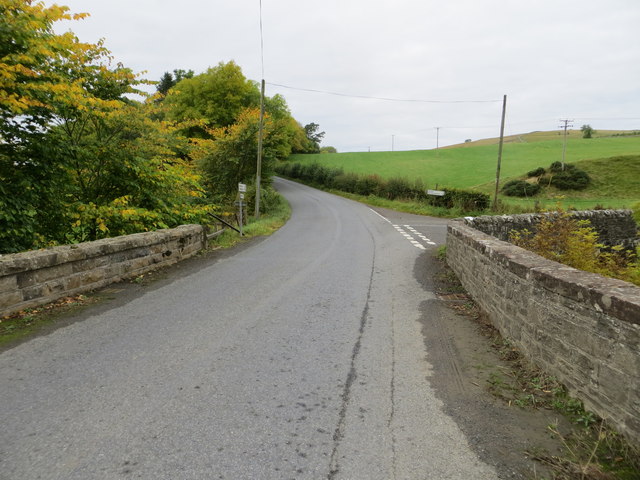
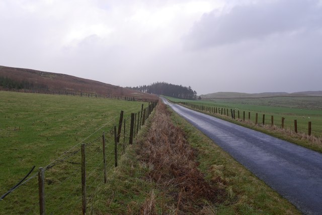
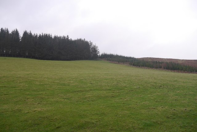
White Cleuch is a small valley located in the region of Roxburghshire, Scotland. Situated in the southern part of the country, it is characterized by its picturesque and tranquil surroundings, making it a popular destination for nature enthusiasts and outdoor lovers.

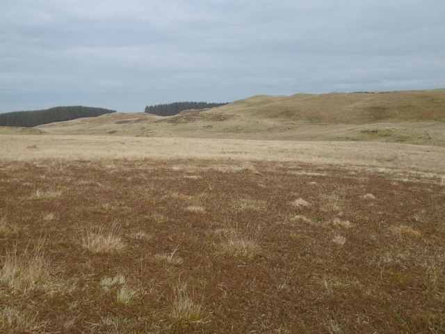
The valley is nestled between rolling hills and is home to a diverse range of flora and fauna. The landscape is dominated by lush green meadows, scattered with patches of woodland and small streams that meander through the valley. The area is known for its rich biodiversity, with a variety of bird species, mammals, and plant life thriving in the surroundings.

White Cleuch offers numerous opportunities for outdoor activities. Hiking and walking trails crisscross the valley, providing visitors with the chance to explore the stunning scenery on foot. The valley is also a haven for birdwatchers, with several bird hides strategically placed to observe the local avian population.

One of the notable features of White Cleuch is its tranquil atmosphere. The valley is far removed from the hustle and bustle of urban life, making it an ideal spot for those seeking peace and solitude. The absence of light pollution in the area also makes it an excellent location for stargazing.

Overall, White Cleuch in Roxburghshire is a natural haven that offers a serene and idyllic setting for visitors to enjoy the beauty of the Scottish countryside.

If you have any feedback on the listing, please let us know in the comments section below.

White Cleuch Images

Images are sourced within 2km of 55.431015/-2.8661584 or Grid Reference NT4515. Thanks to Geograph Open Source API. All images are credited.

Esdale Law Hill grazing beside the Ashkirk-Roberton hill road.
Esdale Law
Hill grazing beside the Ashkirk-Roberton hill road.
This way to Roberton A cattle grid on the hill road at Blawearie.
This way to Roberton
A cattle grid on the hill road at Blawearie.
Ordnance Survey Flush Bracket G488 This partly hidden Flush Bracket can be found on the parapet wall of Harden Bridge.
For more detail see : <span class="nowrap"><a title="http://www.bench-marks.org.uk/bm13079" rel="nofollow ugc noopener" href="http://www.bench-marks.org.uk/bm13079">Link</a><img style="margin-left:2px;" alt="External link" title="External link - shift click to open in new window" src="https://s1.geograph.org.uk/img/external.png" width="10" height="10"/></span>
Ordnance Survey Flush Bracket G488
This partly hidden Flush Bracket can be found on the parapet wall of Harden Bridge. For more detail see : LinkExternal link
Road (B711) at Harden Bridge Looking westward.
Road (B711) at Harden Bridge
Looking westward.
Roberton to Ashkirk road, Borthwickshiels
Young woodland, Borthwickshiels The woodland shown here <a href="https://www.geograph.org.uk/photo/913283">NT4316 : An enlarged wood, Borthwickshiels Horn</a> is becoming established. There are older trees on the left.
Young woodland, Borthwickshiels
The woodland shown here NT4316 : An enlarged wood, Borthwickshiels Horn is becoming established. There are older trees on the left.
Field, Highchesters Hillside above the Borthwick Water.
Field, Highchesters
Hillside above the Borthwick Water.
Blind Burn There has been some planting of trees along the burn.
Blind Burn
There has been some planting of trees along the burn.
Young trees, Lintdub Knowes
Rough grazing, Old Harden
Loch, Harden Moss The lochan is exposed now that the surrounding woodland has been felled.
Loch, Harden Moss
The lochan is exposed now that the surrounding woodland has been felled.
Young trees, Harden Moss
Mabonlaw Moss Cropped heather on a drier part of the moorland.
Mabonlaw Moss
Cropped heather on a drier part of the moorland.
Sheep trod, Pisgah Hill
Pisgah Hill Looking over a ruined dyke towards the summit.
Pisgah Hill
Looking over a ruined dyke towards the summit.
Summit, Pinnacle Hill Evidence of quarrying.
Summit, Pinnacle Hill
Evidence of quarrying.
Fields near Whitfield Looking towards Woolaw Covert
Fields near Whitfield
Looking towards Woolaw Covert
Woolaw Moss Wetland in the hills northwest of Hawick.
Woolaw Moss
Wetland in the hills northwest of Hawick.
Show me another place!

White Cleuch is located at Grid Ref: NT4515 (Lat: 55.431015, Lng: -2.8661584)

Unitary Authority: The Scottish Borders

Police Authority: The Lothians and Scottish Borders

What 3 Words

///manuals.social.restores. Near Hawick, Scottish Borders

Nearby Locations

Muckle Knowe White Cleuch

Related Wikis

Harden Castle

Harden Castle is a 16th century tower house, about 3.5 miles (5.6 km) west of Hawick, Scottish Borders. It is alternatively known as Harden House or Harden...

Roberton, Scottish Borders

Roberton is a small village in the Scottish Borders area of Scotland, on the B711 and near to the A7, 5 miles (8 kilometres) from Hawick, 22 mi (35 km...

Borthwick Water

The Borthwick Water (Border Scots: Borthwick Witter) is a river in the Scottish Borders area of Scotland, and a tributary of the River Teviot. The Aithouse...

Wilton Dean

Wilton Dean is a village in the Scottish Borders area of Scotland, on the Cala Burn, and close to the River Teviot. Along with Stirches and...

Nearby Amenities

Located within 500m of 55.431015,-2.8661584
Natural: peak
Lat/Long: 55.4316506/-2.8598271
The data included in this document is from www.openstreetmap.org. The data is made available under ODbL.

Have you been to White Cleuch?

Leave your review of White Cleuch below (or comments, questions and feedback).