Benarth Dingle
Valley in Herefordshire
England
Benarth Dingle

Benarth Dingle is a picturesque valley located in Herefordshire, England. Nestled amidst the idyllic countryside, this tranquil haven offers visitors a true escape from the hustle and bustle of everyday life. The valley is situated on the outskirts of the village of Benarth, which is known for its charming cottages and friendly locals.
One of the defining features of Benarth Dingle is its lush greenery. The valley is home to a variety of trees, including oak, ash, and beech, which create a vibrant and enchanting atmosphere. The landscape is further enhanced by the presence of a meandering stream that flows through the valley, adding to its natural charm.
The area is a haven for wildlife enthusiasts and nature lovers alike. The valley is teeming with a diverse range of flora and fauna, providing ample opportunities for exploration and observation. Visitors may catch a glimpse of elusive woodland creatures such as badgers, foxes, and deer, or spot a variety of birds including woodpeckers, owls, and kingfishers.
For those seeking outdoor activities, Benarth Dingle offers numerous walking trails and hiking routes. The valley is intersected by a network of footpaths that wind through its stunning landscape, providing breathtaking views of the surrounding countryside. The trails cater to all levels of fitness, making it an ideal destination for both leisurely strolls and more challenging hikes.
Overall, Benarth Dingle is a hidden gem in Herefordshire, offering a peaceful retreat amidst nature's beauty. With its verdant landscapes, abundant wildlife, and recreational opportunities, it is the perfect destination for those seeking solace in the great outdoors.
If you have any feedback on the listing, please let us know in the comments section below.
Benarth Dingle Images
Images are sourced within 2km of 51.953811/-2.8367524 or Grid Reference SO4228. Thanks to Geograph Open Source API. All images are credited.


Benarth Dingle is located at Grid Ref: SO4228 (Lat: 51.953811, Lng: -2.8367524)
Unitary Authority: County of Herefordshire
Police Authority: West Mercia
What 3 Words
///corrosive.whips.graced. Near Ewyas Harold, Herefordshire
Nearby Locations
Related Wikis
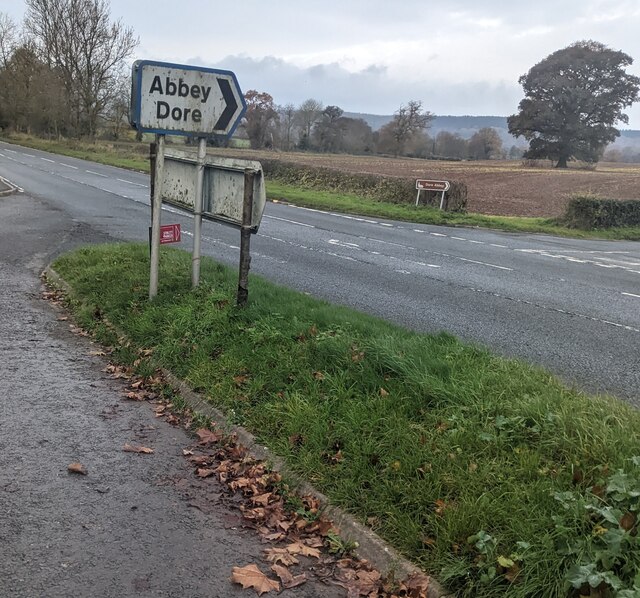
River Dore
The River Dore (Welsh: Afon Aur lit: 'the river of gold') is a tributary of the River Monnow in Herefordshire, England. It rises on Cusop Hill, in the...

Kenderchurch
Kenderchurch is a village and former civil parish, now in the parish of Kilpeck, in the county of Herefordshire, England. In 2001 the parish had a population...
Wormbridge
Wormbridge is a village and former civil parish in Herefordshire, England, about eight miles south-west of Hereford, on the A465 road at (SO423316). The...
Kilpeck
Kilpeck (Welsh: Llanddewi Cil Peddeg) is a village and civil parish in the county of Herefordshire, England. It is about nine miles (14 km) southwest of...

Bagwyllydiart
Bagwyllydiart is a hamlet in Herefordshire, England 16 kilometres (10 mi) south west of Hereford near the Welsh border. It lies between the villages of...
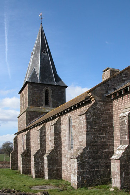
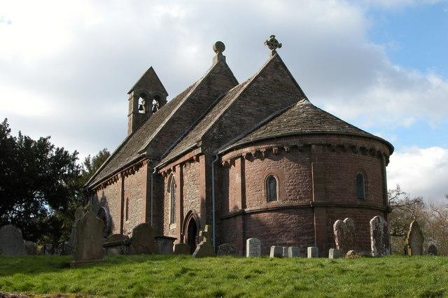
Church of St Mary and St David, Kilpeck
The Church of St Mary and St David is a Church of England parish church at Kilpeck in the English county of Herefordshire, about 5 miles from the border...
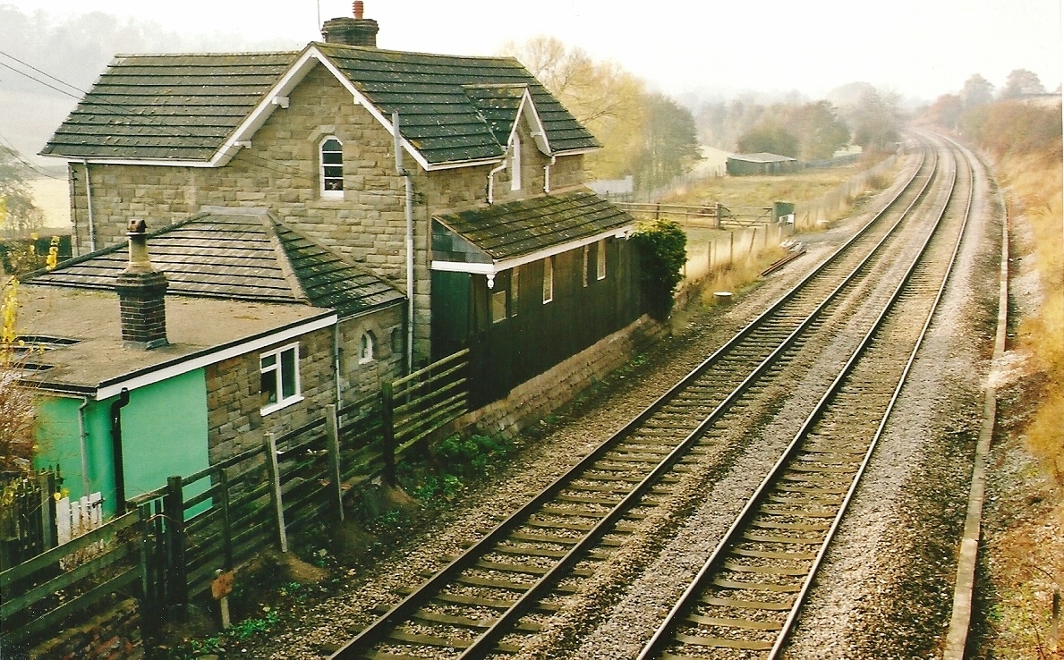
St Devereux railway station
St Devereux railway station was a station in Kilpeck, Herefordshire, England. The station was opened in 1854 and closed in 1958. == References == ��2...

Kilpeck Priory
Kilpeck Priory was a Benedictine priory in Kilpeck, Herefordshire, England, at grid reference SO448303.In 1134, William, son of Norman, gave the church...
Related Videos
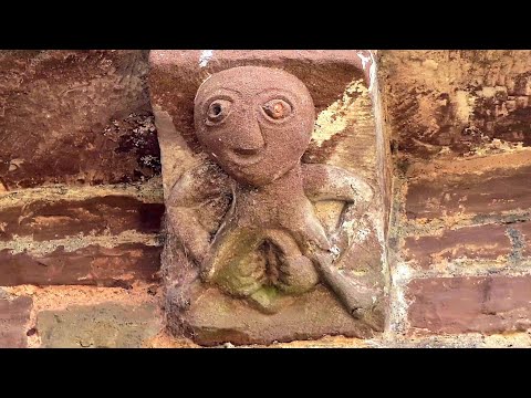
SHEELA NA GIG & HER GROTESQUE FRIENDS (c.1140) #SheelaNaGig #Sheela_Na_Gig #Architecture #Kilpeck
Welcome to Sheela na gig and her very qrotesque friends (89 corbels) on probably the best looking church in England.
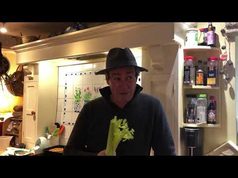
Under The Nut Tree
Fire kitchen tucked into the rolling hills of Herefordshire.
Nearby Amenities
Located within 500m of 51.953811,-2.8367524Have you been to Benarth Dingle?
Leave your review of Benarth Dingle below (or comments, questions and feedback).