Dewar Town Glen
Valley in Midlothian
Scotland
Dewar Town Glen
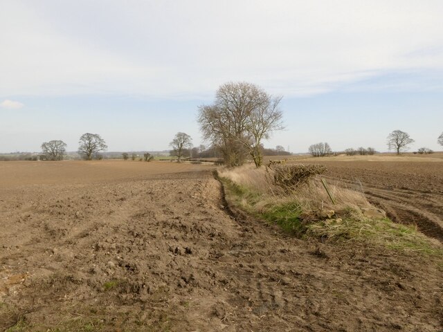
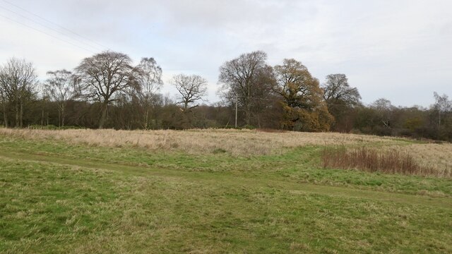
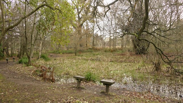
Dewar Town Glen, located in Midlothian, Scotland, is a picturesque valley that holds significant historical and natural importance. Nestled amidst the rolling hills of the region, the glen is characterized by its lush greenery, dense woodlands, and a meandering river that adds to its charm.
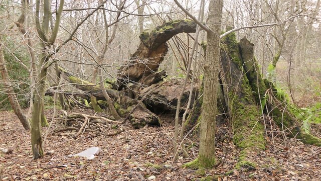
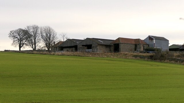
The glen is named after the Dewar family, who were prominent landowners in the area during the 19th century. Their influence is still evident in the remnants of the once-thriving industrial village that existed here. The glen was home to various industries, including paper mills, textile factories, and coal mines, which played a vital role in the local economy.
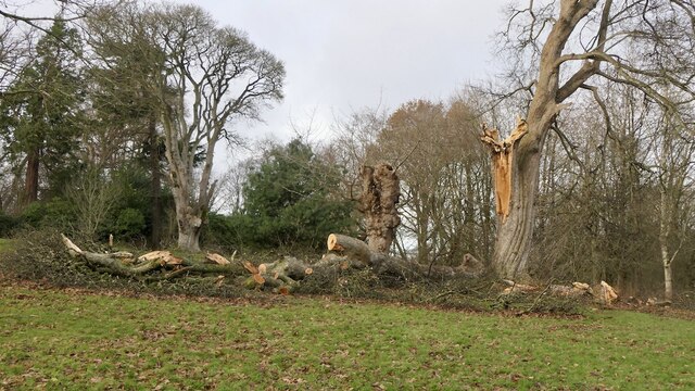
Today, visitors to Dewar Town Glen can explore the remnants of these industrial structures, which serve as a reminder of the region's industrial past. The ruins are surrounded by verdant nature, making it an ideal spot for nature lovers and history enthusiasts alike.
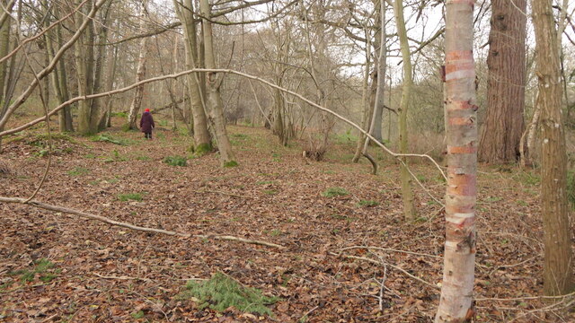
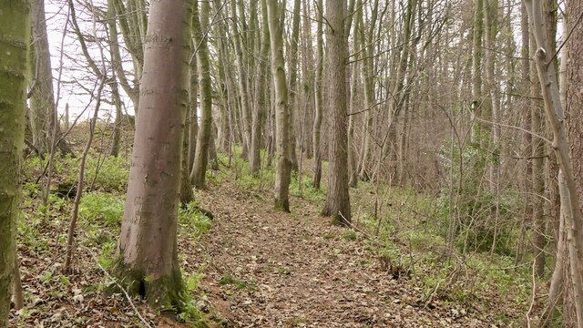
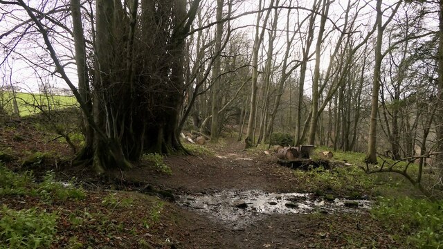
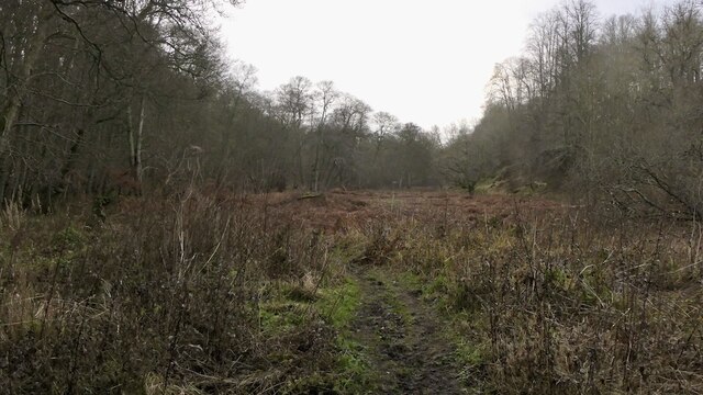
The glen is home to a diverse range of flora and fauna, including native Scottish wildlife such as red deer, otters, and various bird species. The woodlands are filled with oak, birch, and hazel trees, creating a serene and tranquil atmosphere.
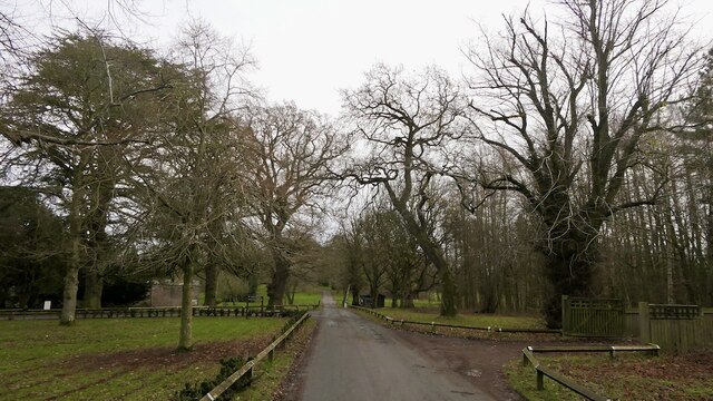
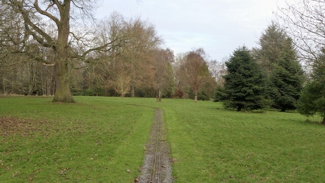
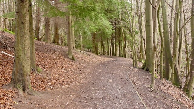
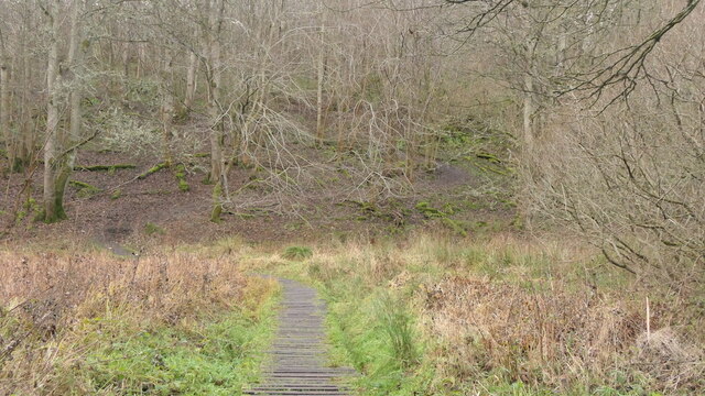
For outdoor enthusiasts, Dewar Town Glen offers several walking trails that showcase the natural beauty of the valley. The trails lead visitors through ancient woodlands, past cascading waterfalls, and along the riverbank, providing stunning views at every turn.
Overall, Dewar Town Glen is a hidden gem in Midlothian, offering a unique blend of history, nature, and tranquility that captivates all who visit.
If you have any feedback on the listing, please let us know in the comments section below.
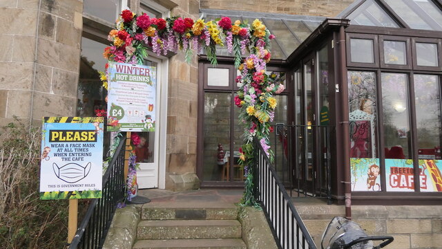
Dewar Town Glen Images
Images are sourced within 2km of 55.869092/-2.9862773 or Grid Reference NT3864. Thanks to Geograph Open Source API. All images are credited.

Dewar Town Glen is located at Grid Ref: NT3864 (Lat: 55.869092, Lng: -2.9862773)
Unitary Authority: Midlothian
Police Authority: The Lothians and Scottish Borders
What 3 Words
///ratty.test.posting. Near Mayfield, Midlothian
Nearby Locations
Related Wikis
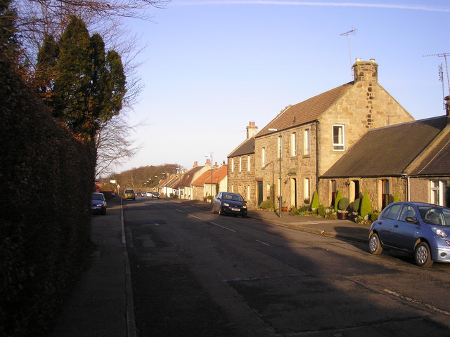
Dewartown
Dewartown is a small hamlet in Midlothian, Scotland (near Pathhead and Mayfield). Its name relates to the Dewar family who owned the nearby Vogrie House...

Edgehead
Edgehead (also known as Chesterhill) is a village in Midlothian, Scotland. == Location == Edgehead is situated east of Dewartown and Mayfield, north-west...

Cranston, Midlothian
Cranston is a parish of Midlothian, Scotland, lying 4+1⁄4 miles (6.8 kilometres) south-east of Dalkeith. It is bounded by the parishes of Inveresk and...
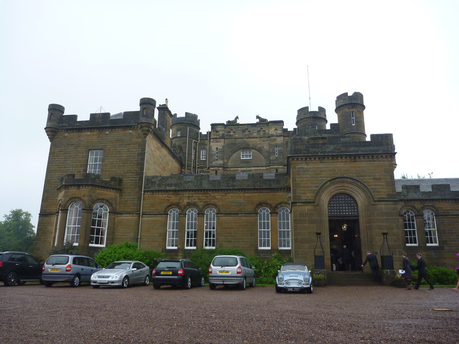
Oxenfoord Castle
Oxenfoord Castle is a country house in Midlothian, Scotland. It is located 1 kilometre (0.62 mi) north of Pathhead, Midlothian, and 6 kilometres (3.7 mi...
Nearby Amenities
Located within 500m of 55.869092,-2.9862773Have you been to Dewar Town Glen?
Leave your review of Dewar Town Glen below (or comments, questions and feedback).